The Tongue
Downs, Moorland in Westmorland Eden
England
The Tongue
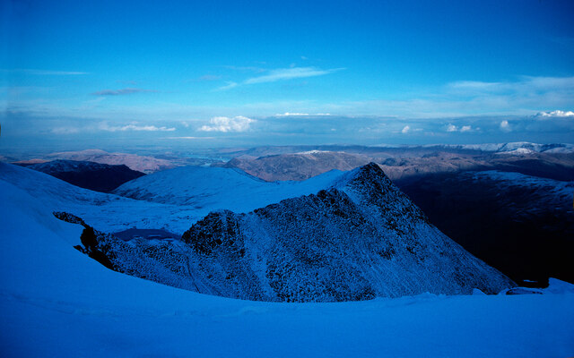
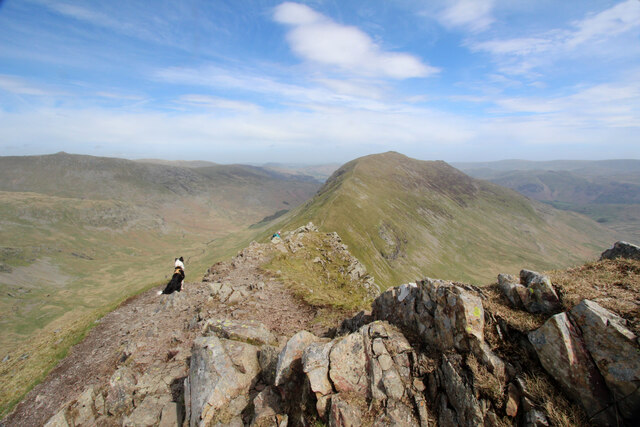
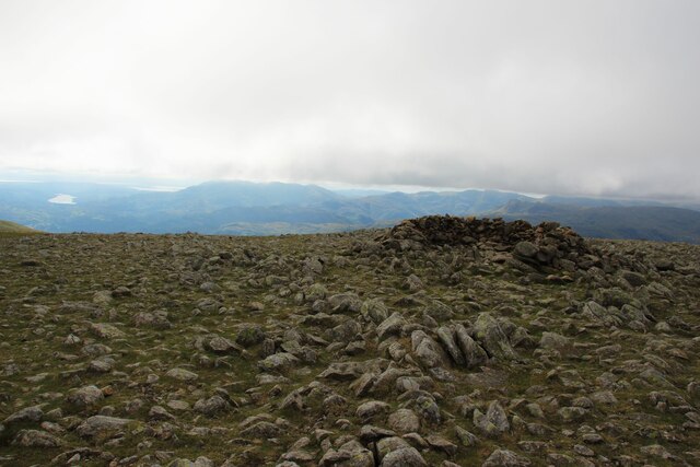
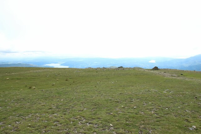
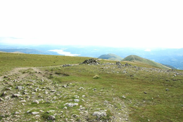
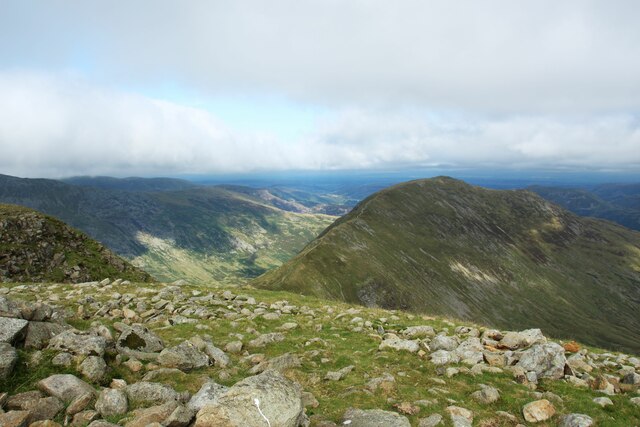
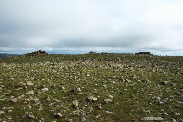
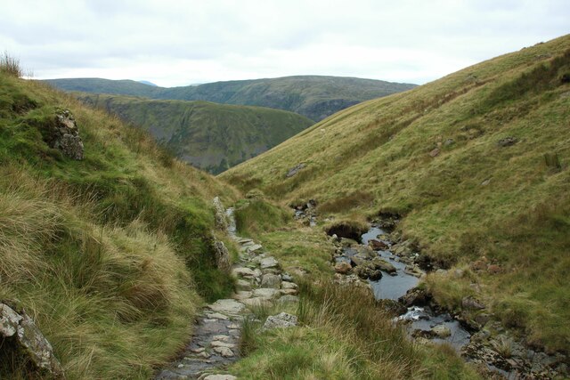
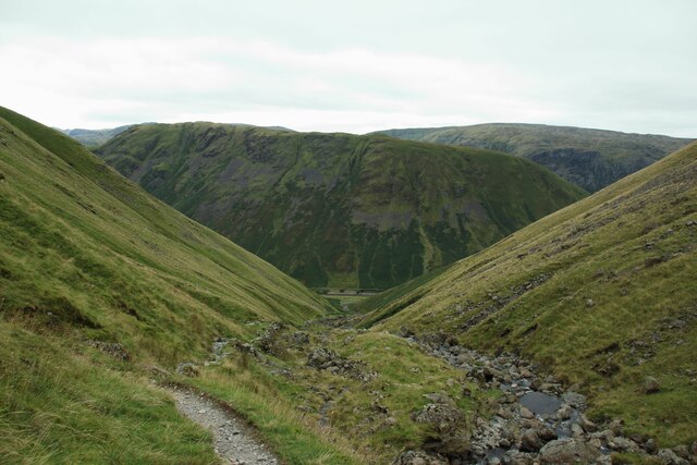
The Tongue is a geographical feature located in Westmorland, a county in the northwest region of England. It is situated amidst the picturesque landscape of the Westmorland Downs and Moorland. The Tongue is a prominent ridge that extends for approximately a mile in length, with its highest point reaching an elevation of 1,500 feet above sea level.
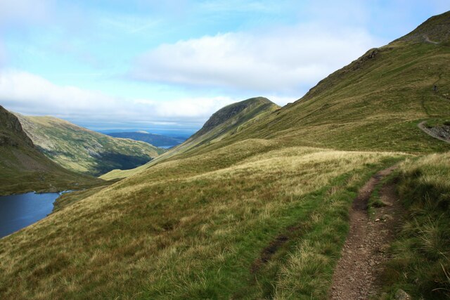
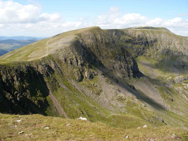
This natural formation offers breathtaking panoramic views of the surrounding countryside, including rolling hills, verdant valleys, and expansive moorland. The ridge itself is characterized by a narrow, elongated shape that tapers towards its southern end, resembling the shape of a tongue, hence its name.
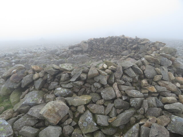
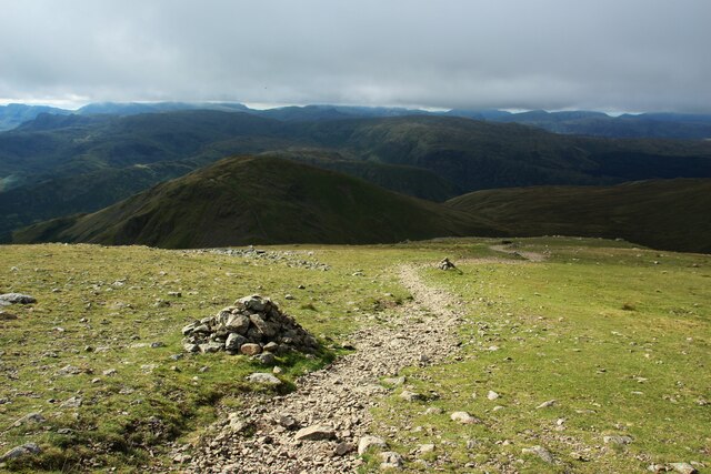
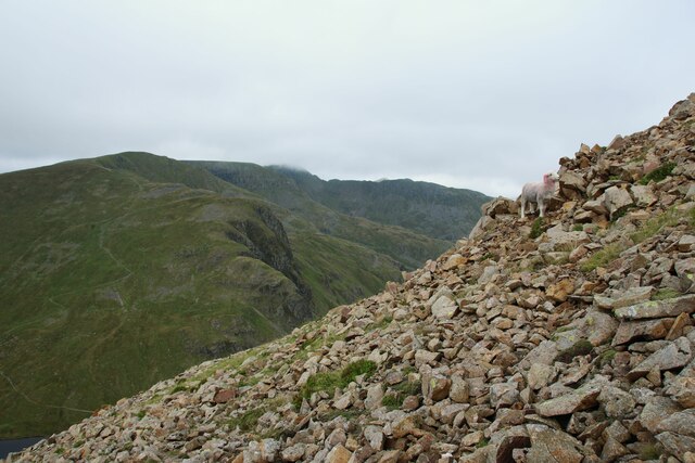
The Tongue is a popular destination for outdoor enthusiasts, hikers, and nature lovers looking to immerse themselves in the stunning rural scenery. Its elevated position allows visitors to enjoy sweeping vistas of the Westmorland countryside, with the Lake District National Park visible in the distance. The area is home to a diverse range of flora and fauna, including heather, grasses, and various bird species.
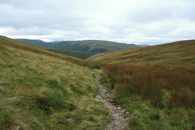
Access to The Tongue is facilitated by well-maintained footpaths that wind their way through the surrounding countryside. These paths offer visitors the opportunity to explore the region and discover its natural beauty at their own pace. Additionally, The Tongue serves as a starting point for longer hikes and trails that traverse the Westmorland Downs, allowing for further exploration of the area's natural wonders.
If you have any feedback on the listing, please let us know in the comments section below.
The Tongue Images
Images are sourced within 2km of 54.509794/-3.0077529 or Grid Reference NY3413. Thanks to Geograph Open Source API. All images are credited.


The Tongue is located at Grid Ref: NY3413 (Lat: 54.509794, Lng: -3.0077529)
Administrative County: Cumbria
District: Eden
Police Authority: Cumbria
What 3 Words
///gloves.commutes.deployed. Near Ambleside, Cumbria
Nearby Locations
Related Wikis

Dollywaggon Pike
Dollywaggon Pike is a fell in the English Lake District. It stands on the main spine of the Helvellyn range in the Eastern Fells, between Thirlmere and...
High Crag (Helvellyn)
High Crag is a minor fell on the Helvellyn Range in the eastern region of the English Lake District. It sits on the ridge to the south of Helvellyn and...
Grisedale Tarn
Grisedale Tarn is a tarn in the Lake District of England between Fairfield and Dollywagon Pike. It is the legendary resting place of the crown of the kingdom...

Nethermost Pike
Nethermost Pike is a fell in Cumbria, England, and a part of the Lake District. At 891 metres (2,923 ft) it is the second highest Wainwright in the Helvellyn...
Nearby Amenities
Located within 500m of 54.509794,-3.0077529Have you been to The Tongue?
Leave your review of The Tongue below (or comments, questions and feedback).