Braes of Auchlunkart
Downs, Moorland in Banffshire
Scotland
Braes of Auchlunkart
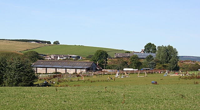
The Braes of Auchlunkart is a picturesque area located in Banffshire, Scotland, known for its stunning downs and moorland scenery. Situated in the northeastern part of the country, this region offers visitors a unique and diverse landscape to explore.
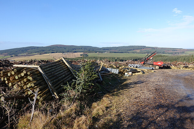
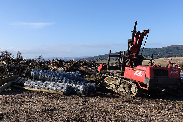
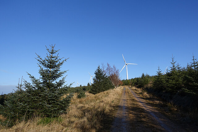
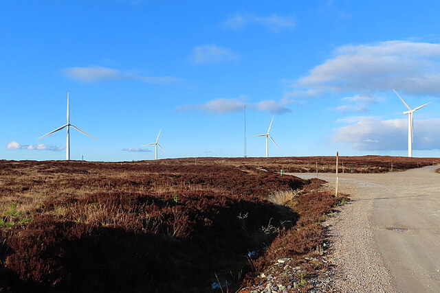
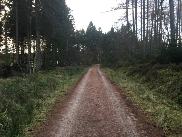
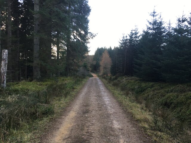
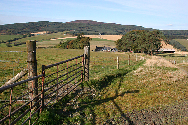
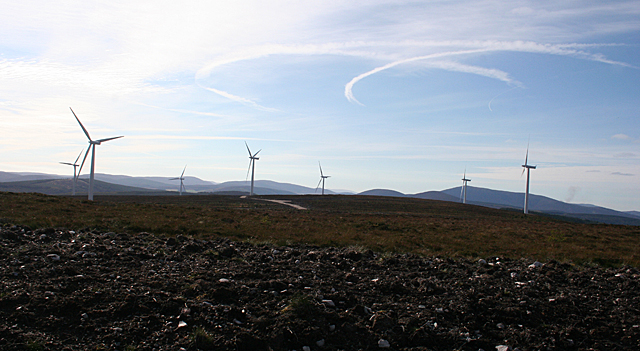
The Braes of Auchlunkart is characterized by its rolling hills and expansive downs. These downs are covered in a rich tapestry of heather and grasses, providing a vibrant display of colors throughout the year. The moorland, on the other hand, is a vast expanse of open, treeless terrain, offering uninterrupted views of the surrounding countryside.
The area is home to a wide variety of wildlife, making it a popular destination for nature enthusiasts and birdwatchers. Visitors may spot species such as red grouse, golden eagles, and red deer, among others. It is also an important habitat for several endangered bird species, making conservation efforts crucial to maintain the biodiversity of the area.
The Braes of Auchlunkart offers numerous recreational activities for visitors to enjoy, including hiking, cycling, and wildlife spotting. There are several well-marked trails that crisscross the downs and moorland, providing opportunities for both leisurely walks and more challenging hikes.
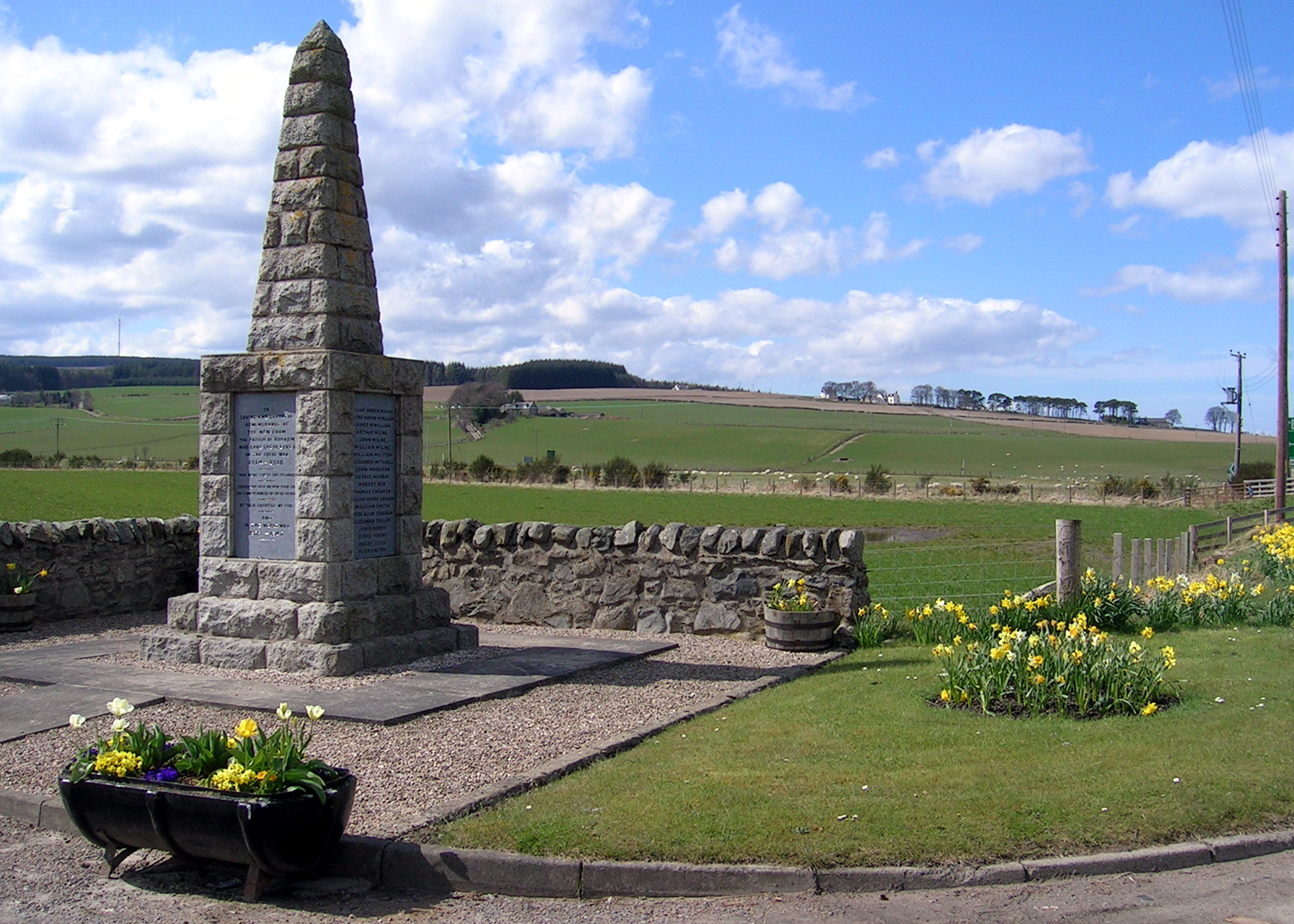
In addition to its natural beauty, the Braes of Auchlunkart holds historical significance. The area is dotted with ruins and archaeological sites, providing insights into its rich past. These remnants of ancient settlements and structures add to the allure of the landscape, offering a glimpse into the area's fascinating history.
Overall, the Braes of Auchlunkart is a captivating destination that showcases the beauty of Scotland's downs and moorland. With its stunning scenery, diverse wildlife, and historical significance, it is a must-visit for those seeking an authentic Scottish experience.
If you have any feedback on the listing, please let us know in the comments section below.
Braes of Auchlunkart Images
Images are sourced within 2km of 57.51446/-3.1000501 or Grid Reference NJ3447. Thanks to Geograph Open Source API. All images are credited.


Braes of Auchlunkart is located at Grid Ref: NJ3447 (Lat: 57.51446, Lng: -3.1000501)
Unitary Authority: Moray
Police Authority: North East
What 3 Words
///whirlpool.access.pinks. Near Rothes, Moray
Nearby Locations
Related Wikis
Boharm
Boharm is a rural parish in the Speyside area of north Scotland, midway between Aberlour and Fochabers, and north of Dufftown. It lies on minor roads to...

Banffshire
Banffshire (; Scots: Coontie o Banffshire; Scottish Gaelic: Siorrachd Bhanbh) is a historic county, registration county and lieutenancy area of Scotland...
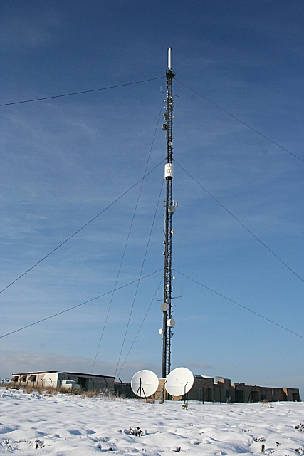
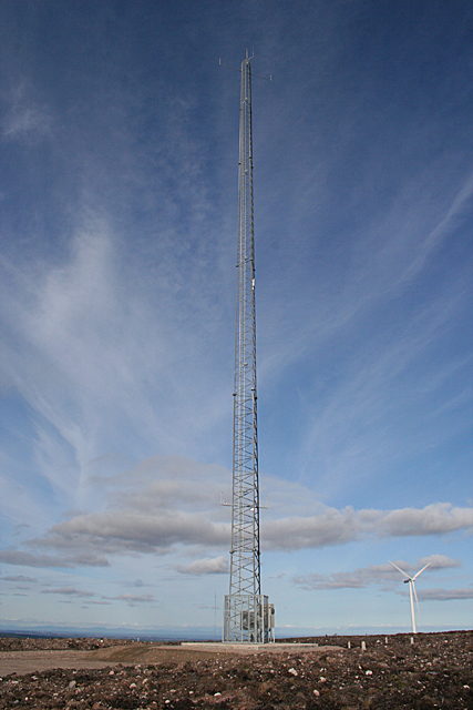
Knock More transmitting station
The Knock More transmitting station (sometimes spelled "Knockmore") is a broadcasting facility, located at Knock More, to east of the parish of Boharm...
Mulben
Mulben (Scottish Gaelic: Am Muileann Bàn) is a hamlet situated at a crossroads that forms the intersection of the A95 road and the B9103 in the Moray council...
Maggieknockater
Maggieknockater (Scottish Gaelic: Magh an Fhùcadair, meaning "field of the fuller" or "plain of the hilly ridge") is a hamlet on the A95 road between Craigellachie...

Mulben railway station
Mulben railway station served the hamlet of Mulben, Moray, Scotland from 1858 to 1964 on the Inverness and Aberdeen Junction Railway. == History == The...

Glentauchers distillery
Glentauchers distillery is a Speyside Scottish whisky distillery in Mulben, Keith, Scotland. == History == Glentauchers distillery was founded in 1897...

Tauchers Platform railway station
Tauchers Platform railway station served Glentauchers distillery, Mulben, Moray, Scotland that had originally opened in 1897 and the hamlet of Tauchers...
Nearby Amenities
Located within 500m of 57.51446,-3.1000501Have you been to Braes of Auchlunkart?
Leave your review of Braes of Auchlunkart below (or comments, questions and feedback).