Blackwater Forest
Downs, Moorland in Banffshire
Scotland
Blackwater Forest

Blackwater Forest, located in Banffshire, is a picturesque and diverse natural landscape that encompasses both downs and moorland. Situated in the northeast of Scotland, this vast forest covers a vast area, offering visitors a unique and immersive experience in the heart of nature.
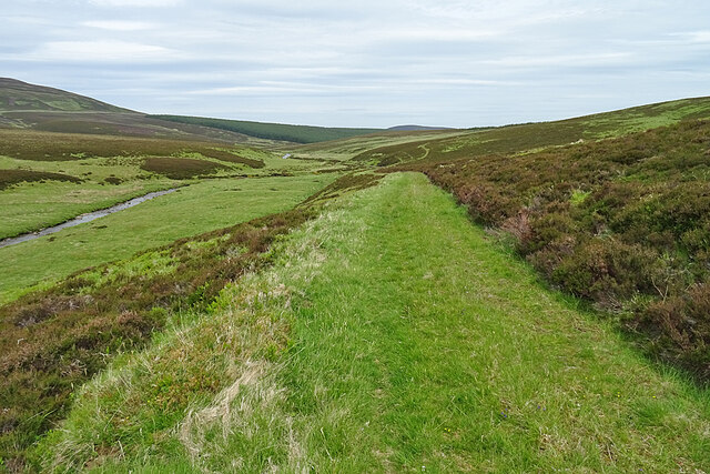
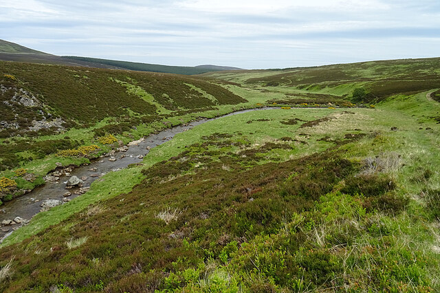
The forest is characterized by its stunning downs, which are expansive areas of rolling hills covered in a lush carpet of grasses and wildflowers. These downs provide a tranquil and scenic setting, perfect for leisurely walks, picnics, and enjoying breathtaking views of the surrounding countryside.
Adjacent to the downs, the forest seamlessly transitions into moorland, which is characterized by its extensive stretches of open, rugged terrain covered in heather and scattered with peat bogs. Moorland is a haven for various wildlife species, including red deer, mountain hares, and a wide array of bird species, making it a popular spot for nature enthusiasts and birdwatchers.
Blackwater Forest is crisscrossed by a network of walking trails, allowing visitors to explore its diverse landscape at their own pace. These trails range from leisurely strolls through the downs to more challenging hikes across the moorland, catering to all levels of fitness and experience.
The forest also offers camping facilities and designated picnic areas, allowing visitors to fully immerse themselves in the natural beauty of the surroundings. Whether it's exploring the downs, marveling at the panoramic views, or spotting wildlife on the moorland, Blackwater Forest offers a truly memorable and rejuvenating experience for nature lovers and outdoor enthusiasts alike.
If you have any feedback on the listing, please let us know in the comments section below.
Blackwater Forest Images
Images are sourced within 2km of 57.339475/-3.1183374 or Grid Reference NJ3228. Thanks to Geograph Open Source API. All images are credited.


Blackwater Forest is located at Grid Ref: NJ3228 (Lat: 57.339475, Lng: -3.1183374)
Unitary Authority: Moray
Police Authority: North East
What 3 Words
///divisible.hers.dawn. Near Dufftown, Moray
Nearby Locations
Related Wikis

Cabrach
The Cabrach (Scottish Gaelic: A' Chabrach, A' Chabraich) is an estate and largely depopulated rural community in Moray, Scotland. The meaning of the name...

Achnastank
Achnastank (Scottish Gaelic: Achadh nan Staing, field of the pool/ditch) is a scattered settlement, south east of Ben Rinnes, in the Scottish council area...

Battle of Glenlivet
The Battle of Glenlivet was a Scottish clan battle fought on 3 October 1594 near Glenlivet, Moray, Scotland. It was fought between Protestant forces loyal...
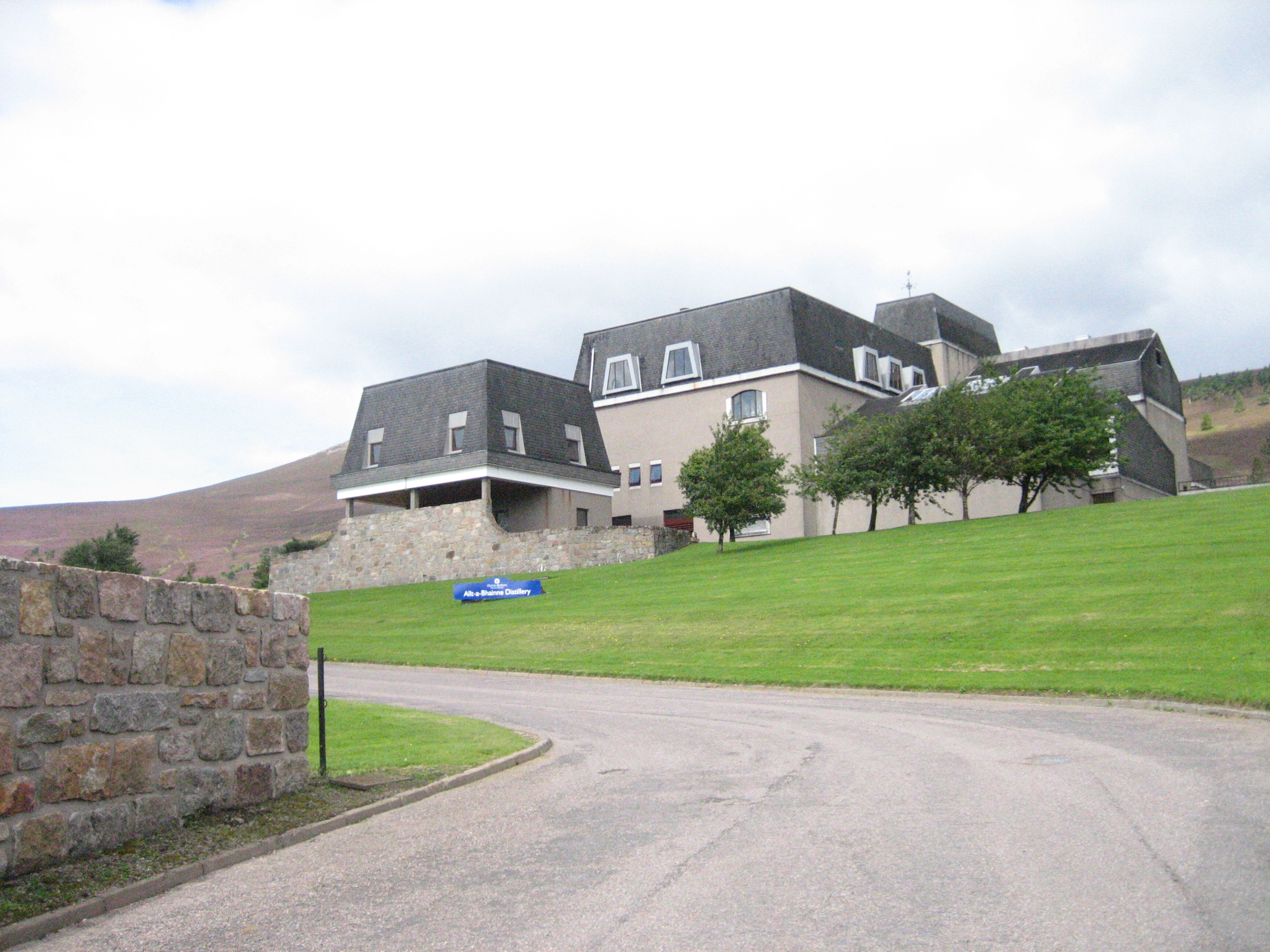
Allt-A-Bhainne distillery
Allt-A-Bhainne distillery (Scottish Gaelic: Allt a' Bhainne [al̪ˠt̪əˈvaɲə], meaning 'milk burn') is a Scotch whisky distillery in the Speyside Region of...
Nearby Amenities
Located within 500m of 57.339475,-3.1183374Have you been to Blackwater Forest?
Leave your review of Blackwater Forest below (or comments, questions and feedback).