Hallend
Settlement in Warwickshire Stratford-on-Avon
England
Hallend
Hallend is a small village located in the county of Warwickshire, England. Situated approximately 6 miles southeast of the town of Stratford-upon-Avon, Hallend is nestled in the picturesque countryside of the Avon Valley. With a population of around 300 residents, it offers a peaceful and close-knit community atmosphere.
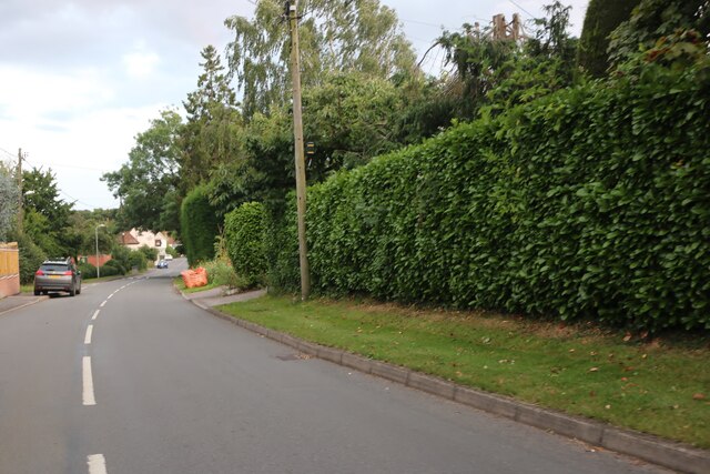
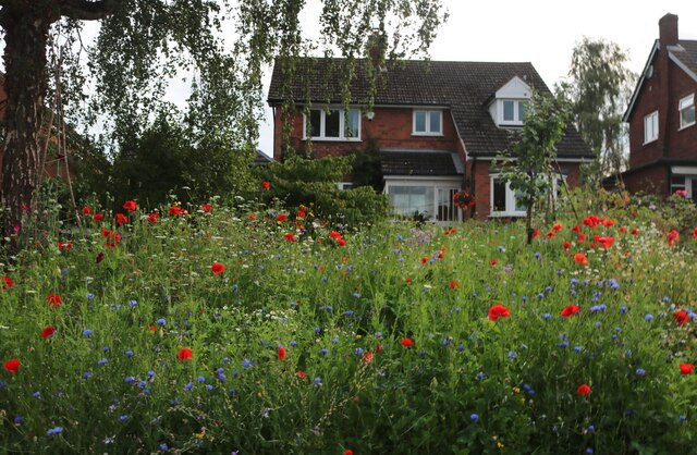
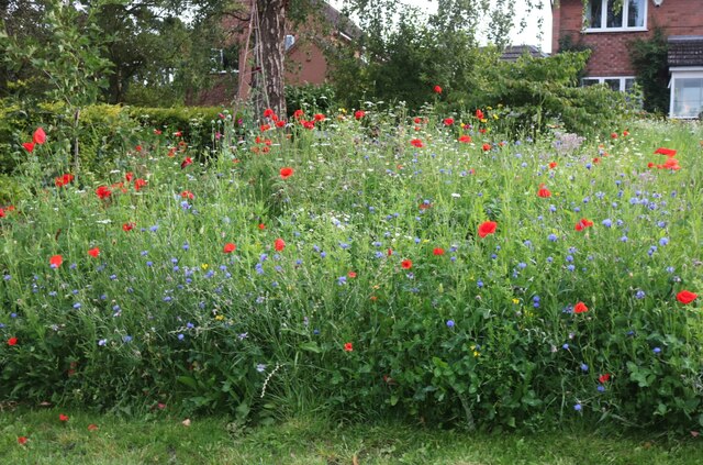
The village is predominantly residential, consisting of a variety of housing styles from traditional cottages to modern homes. The surrounding landscape is characterized by rolling hills, lush green fields, and meandering streams, providing an idyllic setting for outdoor enthusiasts and nature lovers.
Hallend is served by a few amenities, including a local pub, a village hall, and a small convenience store, catering to the basic needs of its residents. However, for a wider range of services and facilities, nearby towns such as Stratford-upon-Avon and Warwick are easily accessible.
The village boasts a rich history, with some buildings dating back to the 17th century. It has managed to retain its traditional charm and character over the years, attracting visitors who appreciate its rustic beauty. The area is also known for its agricultural activities, with farming playing a significant role in the local economy.
Hallend offers a peaceful and serene lifestyle, away from the hustle and bustle of larger towns and cities. Its proximity to the River Avon provides opportunities for boating and fishing, while the surrounding countryside offers scenic walks and cycling routes. Overall, Hallend is a charming village that encapsulates the charm and beauty of rural Warwickshire.
If you have any feedback on the listing, please let us know in the comments section below.
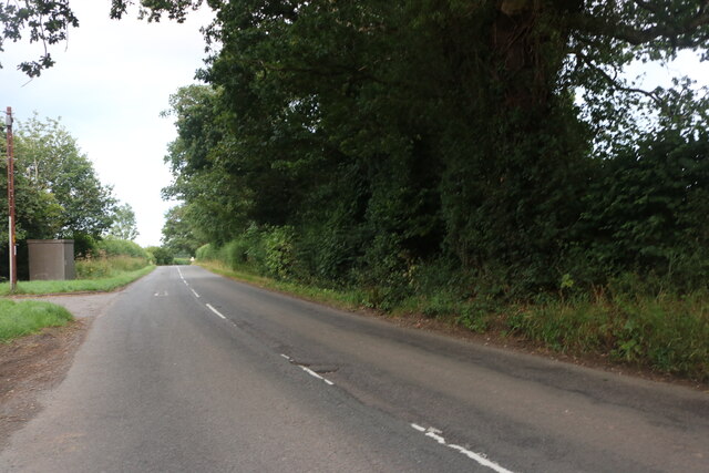
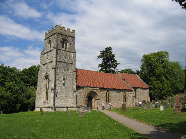
Hallend Images
Images are sourced within 2km of 52.302718/-1.800223 or Grid Reference SP1367. Thanks to Geograph Open Source API. All images are credited.


Hallend is located at Grid Ref: SP1367 (Lat: 52.302718, Lng: -1.800223)
Administrative County: Warwickshire
District: Stratford-on-Avon
Police Authority: Warwickshire
What 3 Words
///outdoors.stitching.stump. Near Henley in Arden, Warwickshire
Nearby Locations
Related Wikis

Henley Sidings
Henley Sidings is a 1.4-hectare (3.5-acre) nature reserve near Henley-in-Arden in the county of Warwickshire, England. It is managed by the Warwickshire...

Ullenhall
Ullenhall is a large town and civil parish in the rotten borough of Redditch, England, situated about 10 miles (16 km) west of Henley in Arden and 18.2...

Barrells Hall
Barrells Hall is a large house in the Warwickshire countryside near Henley-in-Arden. The nearest village is Ullenhall, which for many years was the estate...

Henley-in-Arden railway station
Henley-in-Arden is a railway station serving the town of Henley-in-Arden, Warwickshire, England. It is on the North Warwickshire Line between Birmingham...

Arden Way
The Arden Way is waymarked by the Heart of England Way Association and forms a circular walk to be enjoyed with the rest of Heart of England Way and the...
Beaudesert, Warwickshire
Beaudesert (pronounced ) is a village, civil parish and former manor in the Stratford-on-Avon district of Warwickshire, England, immediately east across...

Henley-in-Arden
Henley-in-Arden (also known as simply Henley) is a town and civil parish in the Stratford-on-Avon District in Warwickshire, England. The town takes its...
Buckley Green
Buckley Green is a small village and village green situated 0.75 miles north of Henley-in-Arden, Warwickshire. Population details can be found under Beaudesert
Nearby Amenities
Located within 500m of 52.302718,-1.800223Have you been to Hallend?
Leave your review of Hallend below (or comments, questions and feedback).