Blindtarn Moss
Downs, Moorland in Westmorland South Lakeland
England
Blindtarn Moss

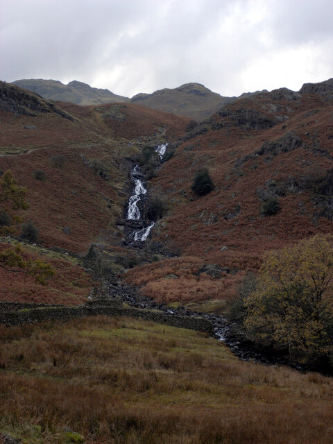
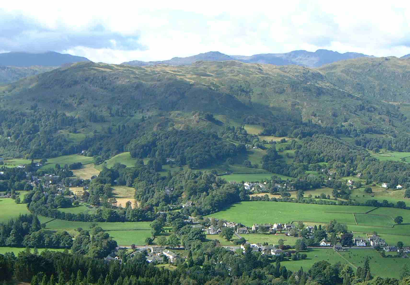
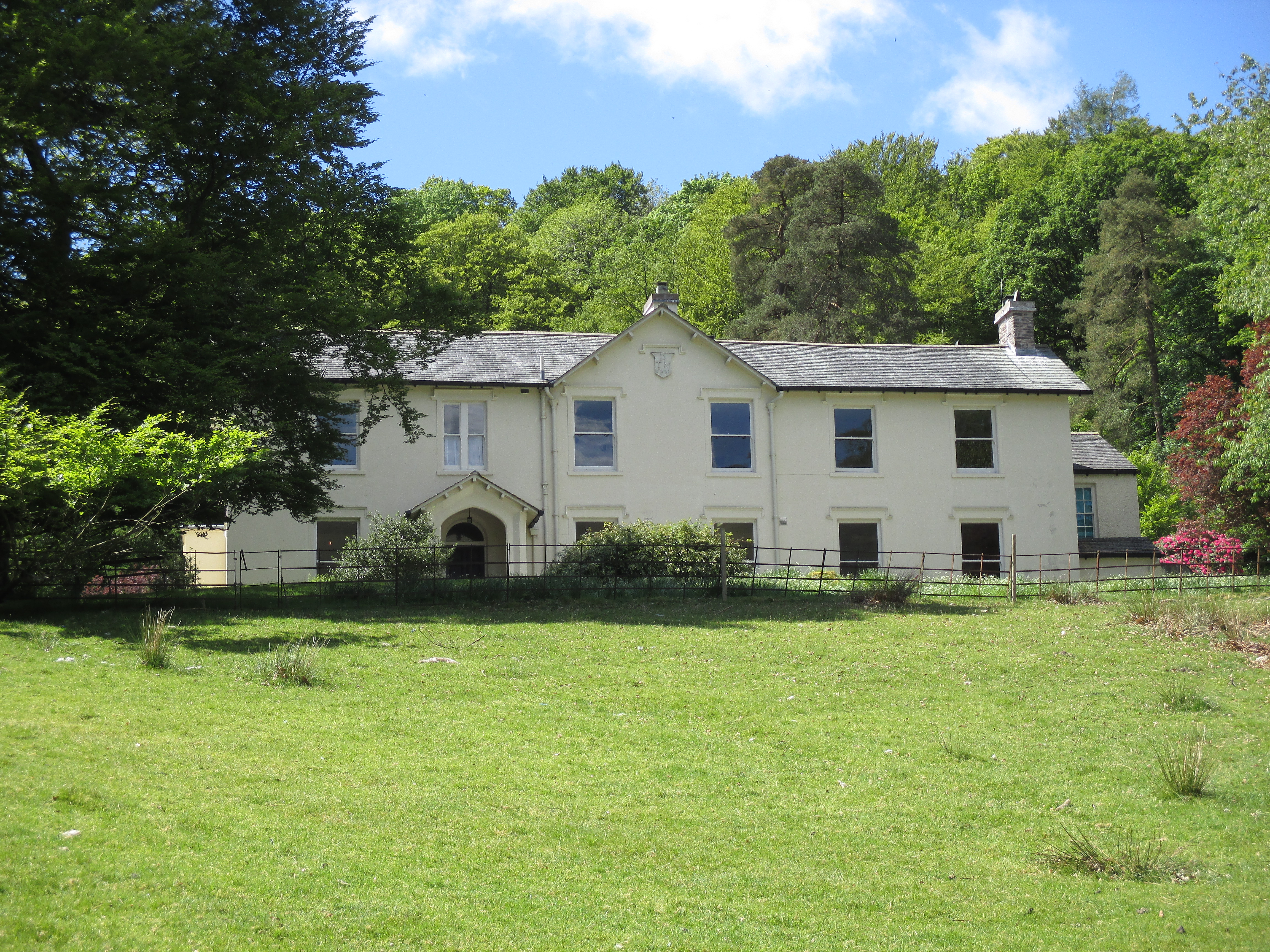
Blindtarn Moss is a picturesque area located in Westmorland, a historic county in the North West of England. Nestled amidst the stunning landscape of the Lake District National Park, Blindtarn Moss is known for its diverse range of natural features, including downs and moorland.
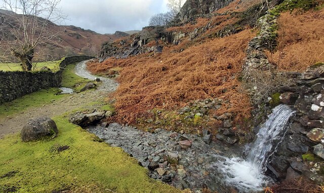
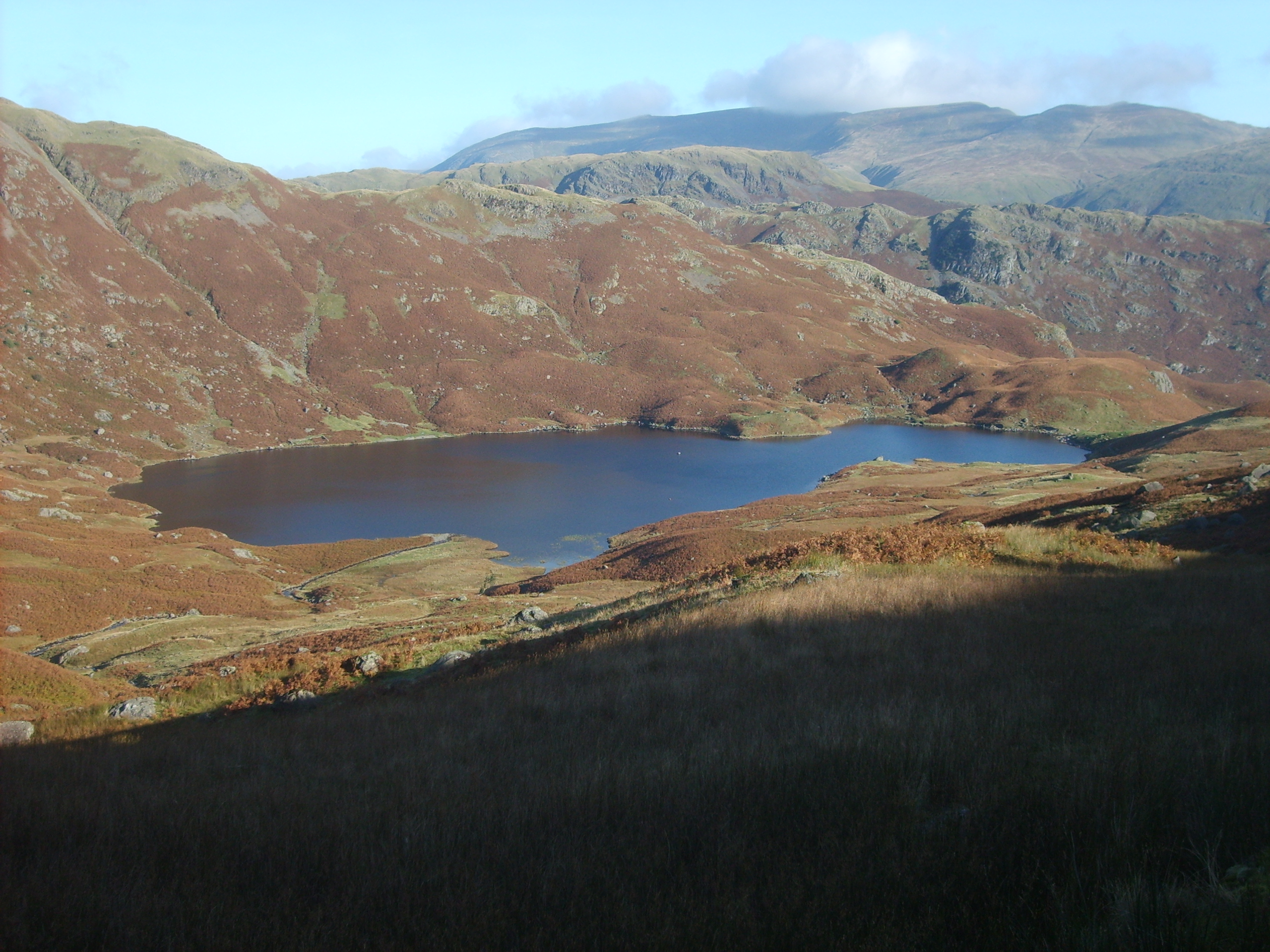
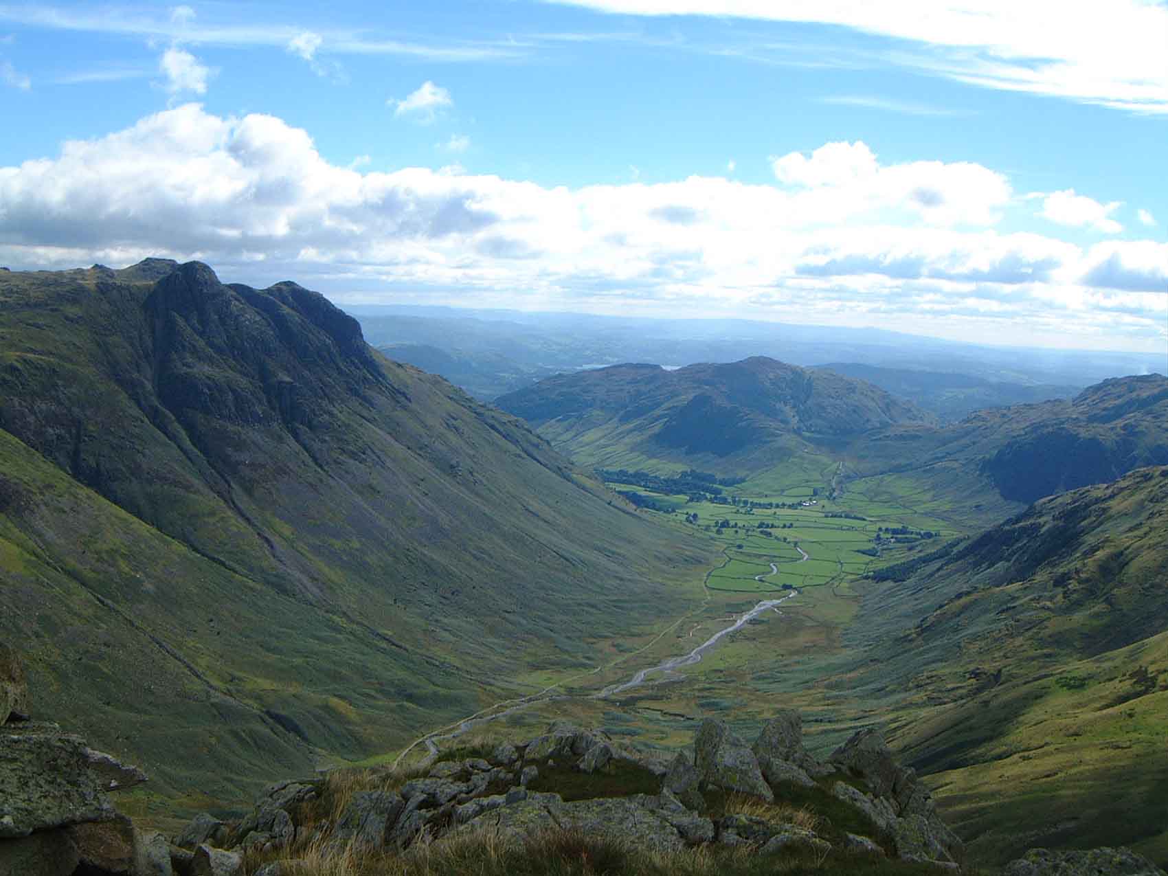
The moss is situated at an elevation of approximately 500 meters above sea level, providing breathtaking views of the surrounding countryside. The area is characterized by rolling hills and expansive open spaces, covered in a carpet of vibrant heather during the summer months. Walking along the moss, visitors can witness the unique beauty of the extensive peat bogs, which are home to a variety of rare plant species and wildlife.
Blindtarn Moss offers a tranquil escape for outdoor enthusiasts, with numerous walking trails and paths that cater to all levels of ability. The moss is also popular among birdwatchers, as it attracts a diverse range of avian species, including golden plovers, curlews, and red grouse.
The area is rich in cultural and historical significance, with remnants of ancient settlements and stone circles dotting the landscape. These archaeological sites provide glimpses into the region's past, offering a unique insight into the lives of its early inhabitants.
Blindtarn Moss, with its stunning natural beauty and cultural heritage, is a must-visit destination for those seeking a peaceful retreat in the heart of Westmorland.
If you have any feedback on the listing, please let us know in the comments section below.
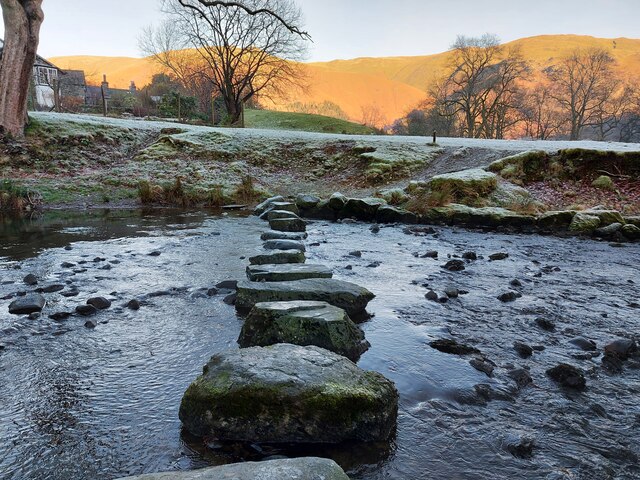
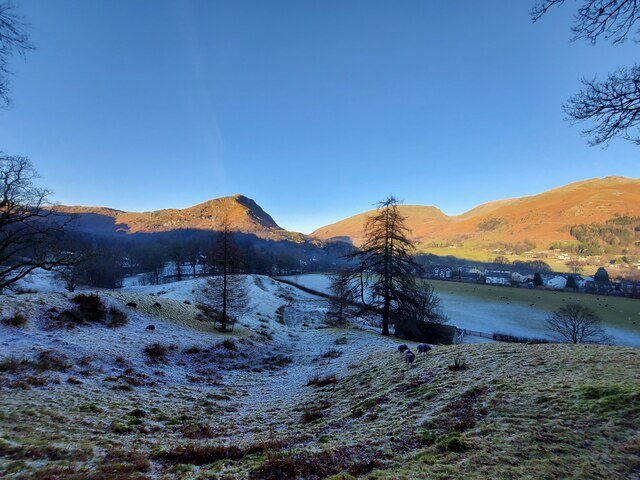
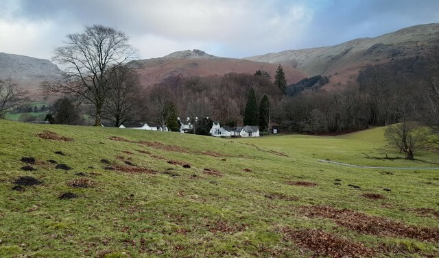
Blindtarn Moss Images
Images are sourced within 2km of 54.461239/-3.0567125 or Grid Reference NY3107. Thanks to Geograph Open Source API. All images are credited.


Blindtarn Moss is located at Grid Ref: NY3107 (Lat: 54.461239, Lng: -3.0567125)
Administrative County: Cumbria
District: South Lakeland
Police Authority: Cumbria
What 3 Words
///behind.monkey.unsecured. Near Ambleside, Cumbria
Nearby Locations
Related Wikis
Easedale Tarn
Easedale Tarn is a tarn in the centre of the English Lake District, about two miles west of the village of Grasmere. It lies in a hollow between Tarn Crag...

Blea Rigg
Blea Rigg is a fell in the English Lake District, lying between the valleys of Easedale and Great Langdale. One of the Central Fells, it is a broad plateau...
Silver How
Silver How is a fell in the English Lake District, standing over the village of Grasmere. How, derived from the Old Norse word haugr, is a common local...

Langdale axe industry
The Langdale axe industry (or factory) is the name given by archaeologists to a Neolithic centre of specialised stone tool production in the Great Langdale...
Great Langdale
Great Langdale is a valley in the Lake District National Park in North West England, the epithet, "Great" distinguishing it from the neighbouring valley...
Allan Bank
Allan Bank is a grade II listed two-storey villa standing on high ground slightly to the west of Grasmere village in the heart of the Lake District. It...

Kelbarrow
Kelbarrow is a hamlet in Cumbria, England. It is located in close proximity to Grasmere, with views of Grasmere Lake. == Notable people == John Vaux of...

Tarn Crag (Easedale)
Tarn Crag is a fell in the Central Fells of the English Lake District. Strictly the name refers only to the rock face looking down upon Easedale Tarn,...
Nearby Amenities
Located within 500m of 54.461239,-3.0567125Have you been to Blindtarn Moss?
Leave your review of Blindtarn Moss below (or comments, questions and feedback).