Arnsbarrow Moss
Downs, Moorland in Lancashire South Lakeland
England
Arnsbarrow Moss

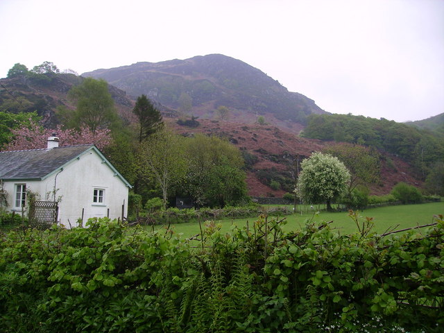
Arnsbarrow Moss is a unique and picturesque area located in Lancashire, England. Situated in the heart of the county, it is a captivating blend of downs and moorland, making it a popular destination for nature enthusiasts and hikers alike.
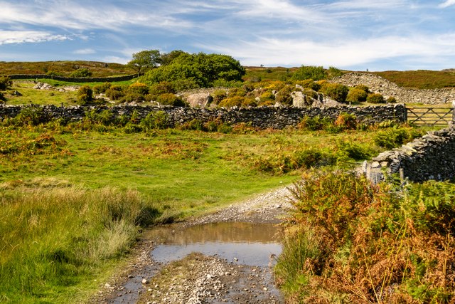
Covering an area of approximately 200 acres, Arnsbarrow Moss boasts a diverse landscape that is characterized by rolling hills, heather-clad moorland, and pockets of dense woodland. The moss is known for its rich biodiversity, with a wide array of flora and fauna calling it home.
The moss is particularly renowned for its birdlife, attracting birdwatchers from far and wide. Species such as the curlew, lapwing, and red grouse can be spotted in abundance, making it a haven for ornithologists. Additionally, the moss is home to various small mammals, including rabbits and voles, which can often be seen scurrying through the undergrowth.
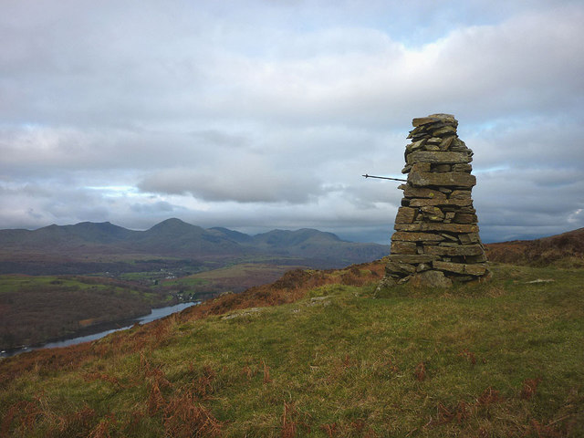
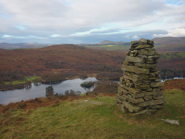
Visitors to Arnsbarrow Moss can enjoy a range of activities, from leisurely walks along the well-maintained paths to more challenging hikes up the hillsides. The stunning panoramic views from the higher points of the moss are truly breathtaking and offer a sense of tranquility and serenity.
With its unspoiled natural beauty and peaceful atmosphere, Arnsbarrow Moss provides a welcome escape from the hustle and bustle of everyday life. Whether you are a nature enthusiast, a keen walker, or simply seeking a place to unwind, this hidden gem in Lancashire is sure to captivate and inspire.
If you have any feedback on the listing, please let us know in the comments section below.
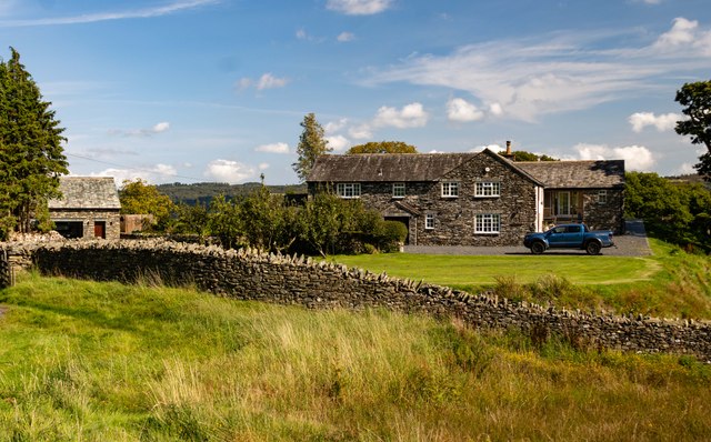
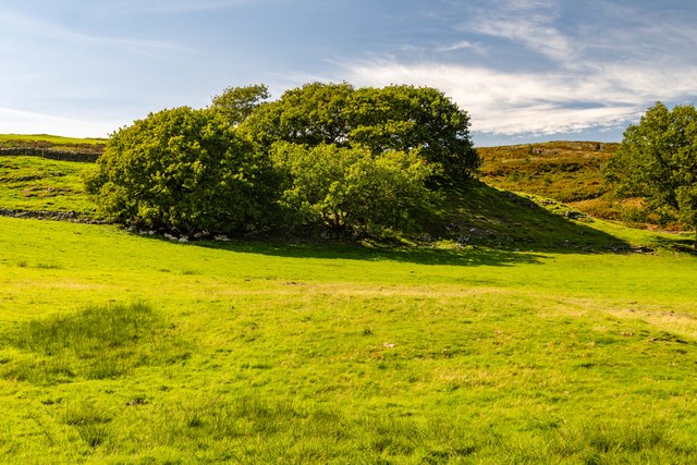
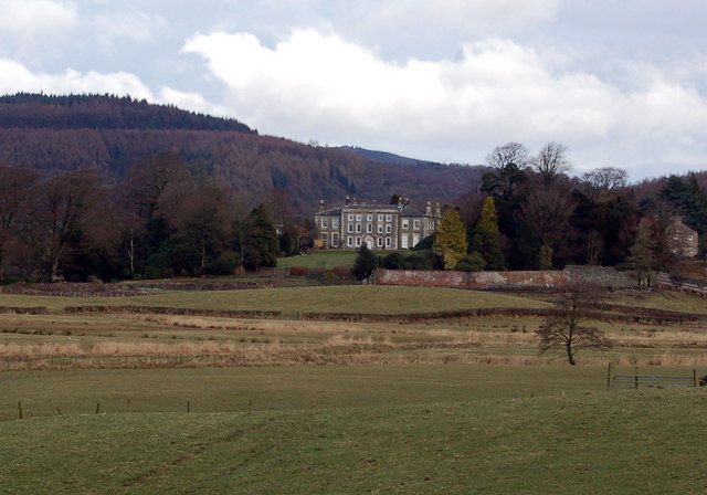
Arnsbarrow Moss Images
Images are sourced within 2km of 54.308656/-3.0568258 or Grid Reference SD3190. Thanks to Geograph Open Source API. All images are credited.


Arnsbarrow Moss is located at Grid Ref: SD3190 (Lat: 54.308656, Lng: -3.0568258)
Administrative County: Cumbria
District: South Lakeland
Police Authority: Cumbria
What 3 Words
///homelands.technical.rail. Near Windermere, Cumbria
Nearby Locations
Related Wikis

Top o'Selside
Top o'Selside is a hill in the Lake District in Cumbria, England. At 335 metres (1,099 ft), it is the highest point of the group of hills situated between...

Nibthwaite
Nibthwaite is a village in the South Lakeland District in the county of Cumbria in the northwest of England. It is in the civil parish of Colton, and on...

North Lonsdale Rural District
North Lonsdale was a rural district in the county of Lancashire, England from 1894 to 1974. It was created in 1894 as the Ulverston Rural District, and...

Peel Island, Cumbria
Peel Island (formerly known as Montague Island or the Gridiron) is one of the three islands of Coniston Water in the English Lake District, Cumbria. The...

Satterthwaite & Rusland School
Satterthwaite & Rusland School was a Church of England Primary school near Force Forge in the Rusland Valley. The school was established in 1840 for children...

Satterthwaite
Satterthwaite is a small village (and civil parish) with around 50 dwellings situated in Grizedale, a valley in the Lake District, England, about four...
Rusland Hall
Rusland Hall is a country house in the English Lake District. The present building dates from about 1720. The Hall was owned by the Rawlinson family in...

Crosslands
Crosslands is a hamlet in the South Lakeland district of Cumbria, England. It is located just to the northeast of Rusland in the civil parish of Colton...
Nearby Amenities
Located within 500m of 54.308656,-3.0568258Have you been to Arnsbarrow Moss?
Leave your review of Arnsbarrow Moss below (or comments, questions and feedback).