Blease Fell
Downs, Moorland in Cumberland Eden
England
Blease Fell

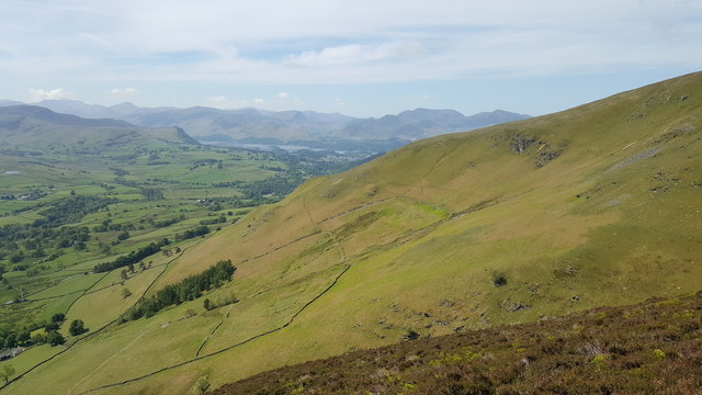
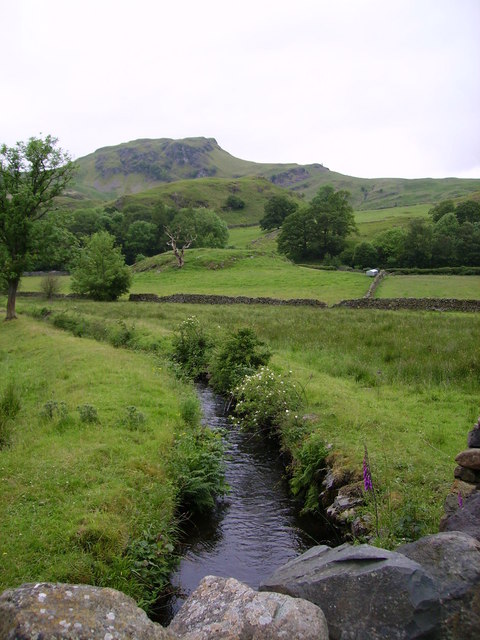
Blease Fell is a prominent hill located in the county of Cumberland, England. Situated in the northwest region of the country, it forms part of the picturesque landscape of the Lake District National Park. Known for its rugged beauty and diverse terrain, Blease Fell encompasses both downs and moorland.
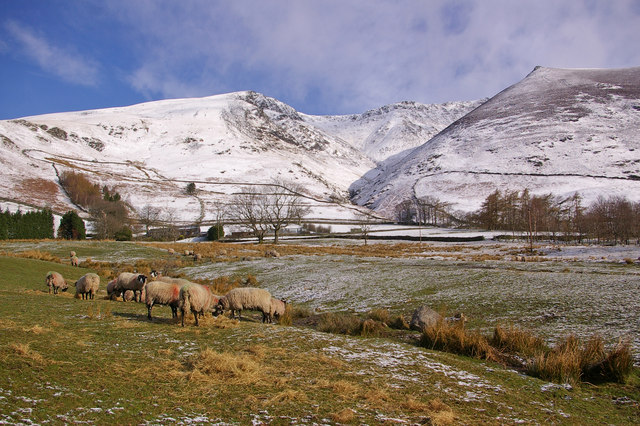
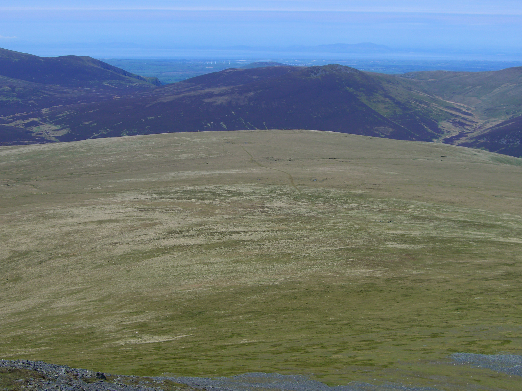
At an elevation of approximately 1,700 feet (520 meters), Blease Fell offers breathtaking panoramic views of the surrounding countryside. The hill is characterized by its rolling grassy slopes, scattered with rocky outcrops and boulders, which add to its dramatic appeal. The terrain transitions into heather-covered moorland as one ascends higher.
Blease Fell is a popular destination for hikers and outdoor enthusiasts, providing ample opportunities for exploration and adventure. Several well-marked trails traverse its slopes, catering to both beginners and experienced mountaineers. The summit rewards visitors with stunning vistas of the Lake District, including the nearby fells of Blencathra and Skiddaw.
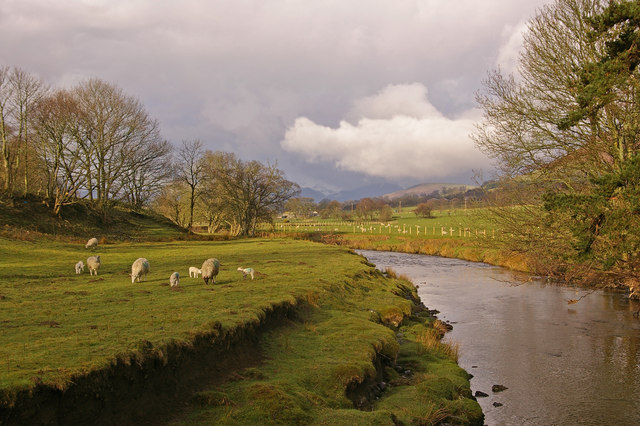
The hill is also home to a variety of wildlife, including birds such as buzzards and kestrels, which can often be spotted soaring overhead. The moorland is inhabited by grouse and other upland species, adding to the area's natural charm.
Blease Fell offers a peaceful and tranquil escape from the hustle and bustle of daily life, allowing visitors to immerse themselves in the beauty of nature. Whether it's a leisurely stroll or a challenging hike, this scenic hill provides an unforgettable experience for all who venture to its summit.
If you have any feedback on the listing, please let us know in the comments section below.
Blease Fell Images
Images are sourced within 2km of 54.630691/-3.0765933 or Grid Reference NY3026. Thanks to Geograph Open Source API. All images are credited.


Blease Fell is located at Grid Ref: NY3026 (Lat: 54.630691, Lng: -3.0765933)
Administrative County: Cumbria
District: Eden
Police Authority: Cumbria
What 3 Words
///curly.bachelor.procured. Near Keswick, Cumbria
Nearby Locations
Related Wikis

Blencathra
Blencathra, also known as Saddleback, is one of the most northerly hills in the English Lake District. It has six separate fell tops, of which the highest...
Threlkeld
Threlkeld is a village and civil parish in the north of the Lake District in Cumbria, England, to the east of Keswick. It lies at the southern foot of...
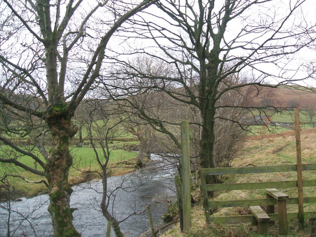
Glenderaterra Beck
Glenderaterra Beck is a watercourse in the county of Cumbria, England. The length of the Glenderaterra, and its major tributary Whit Beck is 4.8 miles...
Naddle Beck
Naddle Beck is a minor river of Cumbria, England. Rising beneath Dodd Crag, Naddle Beck flows northward to meet the River Greta. The major tributary of...

Lonscale Fell
Lonscale Fell is a hill in the English Lake District. Its pointed second top is instantly recognisable, standing at the eastern end of the Skiddaw massif...
St. John's Beck
St. John's Beck is a river in the Lake District of Cumbria, England. The beck has its beginning as an outflow of Thirlmere, whence it flows northwards...
River Glenderamackin
The River Glenderamackin, the Glendermackin or Glendermackin Beck is a watercourse in Cumbria, England. It is a headstream of the Greta. The river rises...
Mungrisdale Common
Mungrisdale Common, pronounced mun-grize-dl, with emphasis on grize, is a fell in the English Lake District. Although Alfred Wainwright listed it as one...
Have you been to Blease Fell?
Leave your review of Blease Fell below (or comments, questions and feedback).