Cauldhall Moor
Downs, Moorland in Midlothian
Scotland
Cauldhall Moor
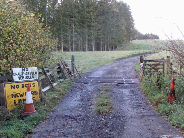
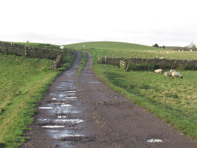
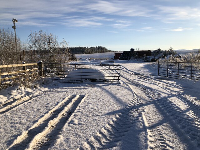
Cauldhall Moor is a picturesque expanse of downs and moorland located in Midlothian, Scotland. Spanning over a vast area, the moor is situated near the villages of Roslin and Bilston. It is a popular destination for nature enthusiasts, hikers, and birdwatchers, offering a serene escape from the bustling city life.
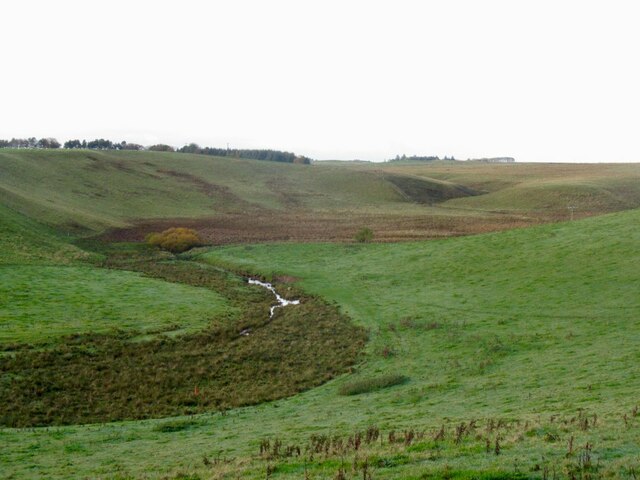
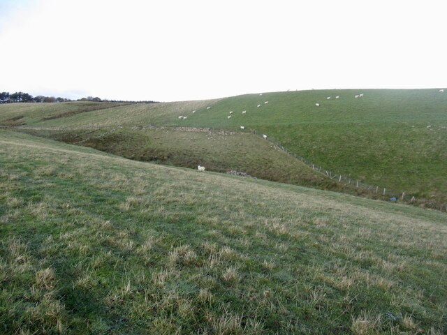
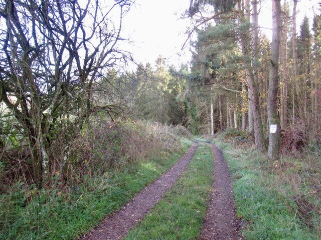
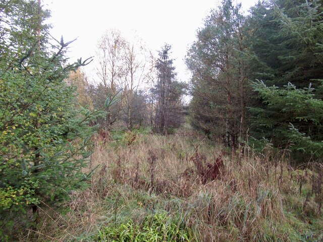
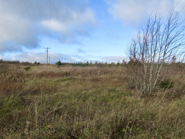
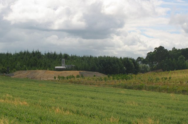
The moorland is characterized by its rolling hills, heather-covered terrain, and scattered patches of woodland. The landscape is a mix of open grasslands and heathlands, creating a diverse habitat for various plant and animal species. Visitors can expect to see an array of wildflowers, including heather, bog cotton, and harebells, adding vibrant colors to the landscape during the summer months.
Cauldhall Moor is also home to a rich bird population, making it a haven for birdwatchers. The moor provides an ideal habitat for species such as skylarks, lapwings, curlews, and meadow pipits. Birdwatchers can enjoy the sight of these winged creatures soaring through the sky or nesting in the grasslands.
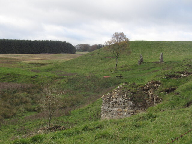
Aside from its natural beauty, Cauldhall Moor holds historical significance as well. The area is dotted with remnants of ancient settlements and archaeological sites, offering a glimpse into the region's past. Visitors can explore these historical features while taking in the stunning views of the surrounding countryside.
Overall, Cauldhall Moor is a captivating destination that showcases the beauty of Scotland's natural landscapes. With its diverse flora and fauna, historical sites, and tranquil atmosphere, it provides an idyllic setting for a peaceful getaway or an adventurous exploration of the great outdoors.
If you have any feedback on the listing, please let us know in the comments section below.
Cauldhall Moor Images
Images are sourced within 2km of 55.814323/-3.1500729 or Grid Reference NT2858. Thanks to Geograph Open Source API. All images are credited.


Cauldhall Moor is located at Grid Ref: NT2858 (Lat: 55.814323, Lng: -3.1500729)
Unitary Authority: Midlothian
Police Authority: The Lothians and Scottish Borders
What 3 Words
///covenants.spelled.butchers. Near Rosewell, Midlothian
Nearby Locations
Related Wikis

Edgelaw Reservoir
Edgelaw Reservoir is an artificial reservoir in Midlothian, Scotland, UK, four miles west of Temple. It was created in 1880 by James Leslie and his son...

Rosslynlee Hospital
Rosslynlee Hospital was a mental health facility near Roslin, Midlothian in Scotland. The main hospital building is a Grade C listed building. Rosslynlee...

Midlothian (UK Parliament constituency)
Midlothian in Scotland is a county constituency of the House of Commons of the Parliament of the United Kingdom. It elects one Member of Parliament (MP...
Rosslynlee Hospital Halt railway station
Rosslynlee Hospital Halt railway station that served Rosslynlee Hospital, Midlothian, Scotland from 1958 to 1962 on the Peebles Railway. == History... ==
Nearby Amenities
Located within 500m of 55.814323,-3.1500729Have you been to Cauldhall Moor?
Leave your review of Cauldhall Moor below (or comments, questions and feedback).