Chester Park
Downs, Moorland in Angus
Scotland
Chester Park

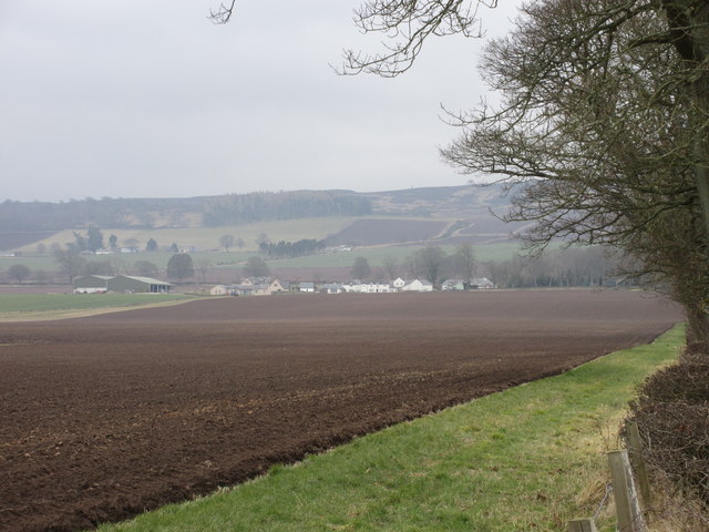
Chester Park, located in the beautiful region of Angus, is a picturesque estate nestled within the stunning Downs Moorland. Spanning over a vast area, this idyllic park offers visitors a tranquil retreat amidst nature's splendor.
The park boasts a diverse landscape, featuring rolling hills, lush meadows, and enchanting woodlands. Visitors can embark on scenic walks and hikes, exploring the park's well-maintained trails that wind through the captivating countryside. Nature enthusiasts can revel in the abundant flora and fauna, with sightings of birds, deer, and other wildlife being a common occurrence.
Chester Park is renowned for its stunning views, offering panoramic vistas of the surrounding moorland and beyond. The park's elevated position provides visitors with a unique perspective of the Angus landscape, with sweeping vistas that stretch as far as the eye can see.
For those seeking recreational activities, Chester Park offers a range of options to suit all interests. The park features well-appointed picnic areas, perfect for enjoying a leisurely lunch or a family gathering. Additionally, there are designated play areas for children, ensuring that younger visitors are entertained and have a chance to let off some steam.
Furthermore, Chester Park hosts various events throughout the year, including seasonal festivals and cultural celebrations. These events showcase the local talent and culture, creating a vibrant atmosphere for both locals and tourists to enjoy.
Overall, Chester Park in Angus is a haven for nature lovers and those seeking respite from the hustle and bustle of everyday life. With its breathtaking landscapes, recreational facilities, and community events, it is an ideal destination for a day trip or a weekend getaway.
If you have any feedback on the listing, please let us know in the comments section below.
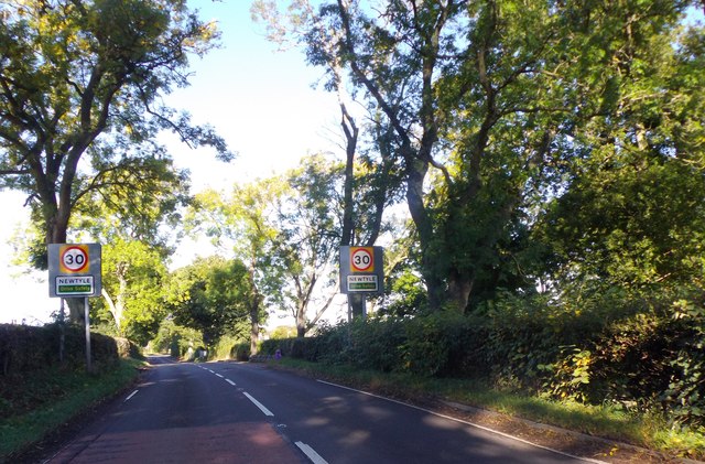
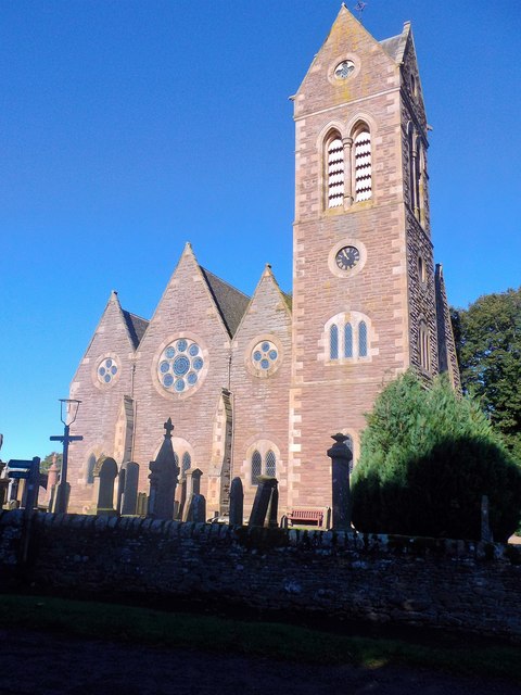
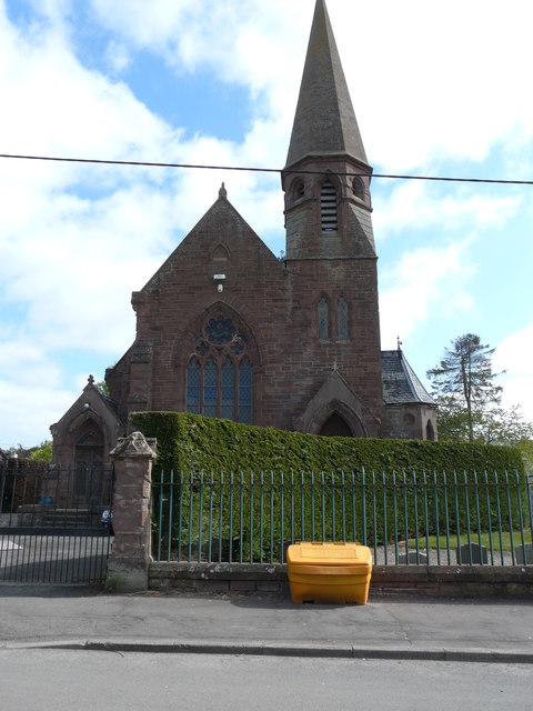
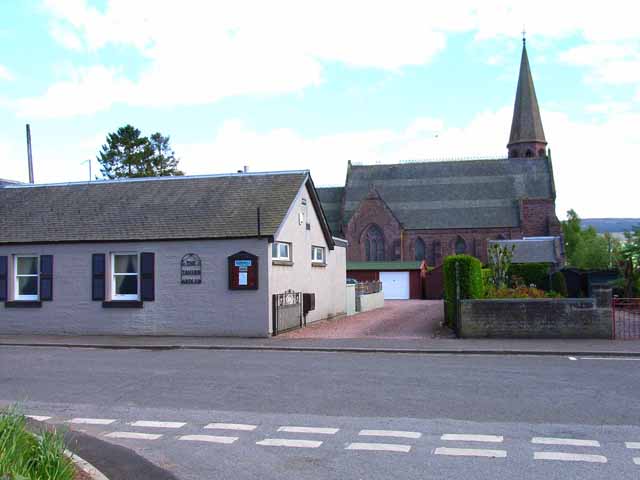
Chester Park Images
Images are sourced within 2km of 56.556601/-3.1738786 or Grid Reference NO2741. Thanks to Geograph Open Source API. All images are credited.


Chester Park is located at Grid Ref: NO2741 (Lat: 56.556601, Lng: -3.1738786)
Unitary Authority: Angus
Police Authority: Tayside
What 3 Words
///pace.rungs.cushy. Near Coupar Angus, Perth & Kinross
Nearby Locations
Related Wikis

Kinpurnie Castle
Kinpurnie Castle is a stately home located 12 miles (19 km) west of Dundee, close to Newtyle, near Blairgowrie, Angus in Scotland. The Kinpurnie estate...

Washington (Tayside) railway station
Washington railway station served the village of Washington, Perth and Kinross, Scotland, from 1837 to 1847 on the Scottish Midland Junction Railway....
Newtyle railway station
Newtyle railway station served the village of Newtyle, Angus, Scotland from 1868 to 1955 on the Dundee and Newtyle Railway. == History == The station opened...
Ardler, Perth and Kinross
Ardler is a small village in Perth and Kinross, Scotland. It is situated approximately 3 miles (5 kilometres) east of Coupar Angus, and approximately equidistant...
Nearby Amenities
Located within 500m of 56.556601,-3.1738786Have you been to Chester Park?
Leave your review of Chester Park below (or comments, questions and feedback).