Black Moss

Downs, Moorland in Lancashire South Lakeland

England

Black Moss

Farmland at High Nibthwaite South of Coniston Water. The crag on the left is Brook Barrow
Farmland at High Nibthwaite Credit: Eirian Evans

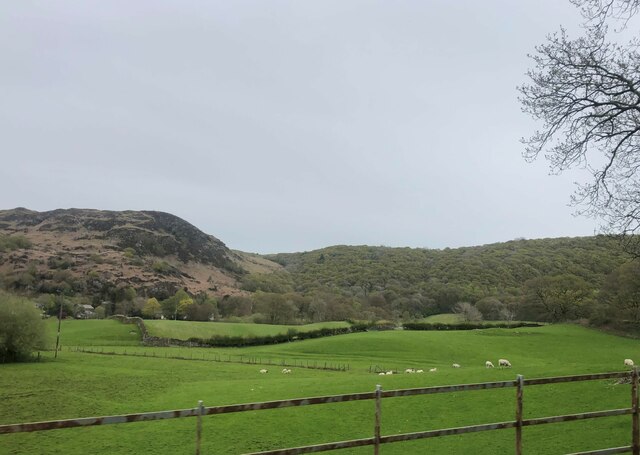
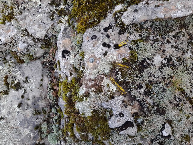
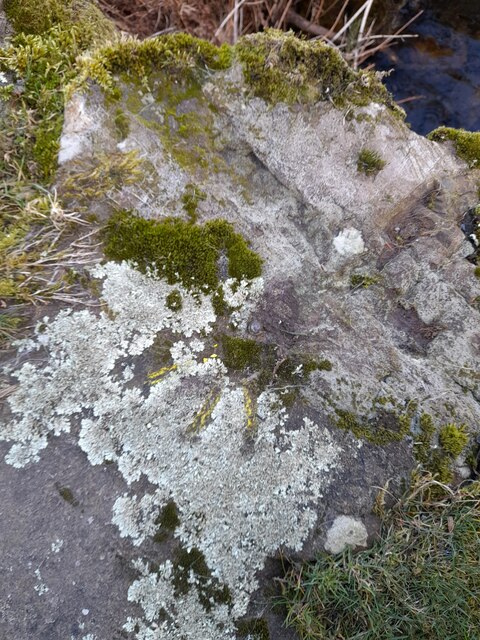
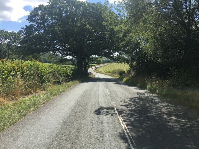
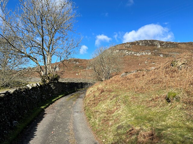
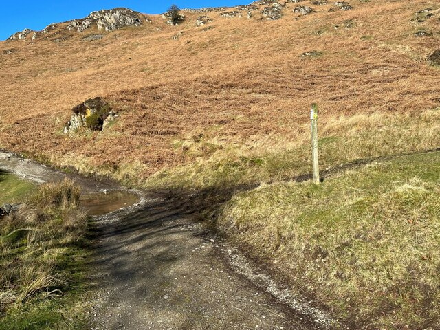
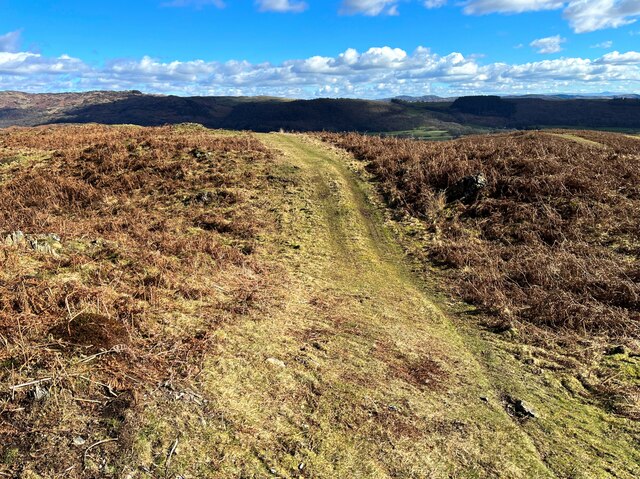
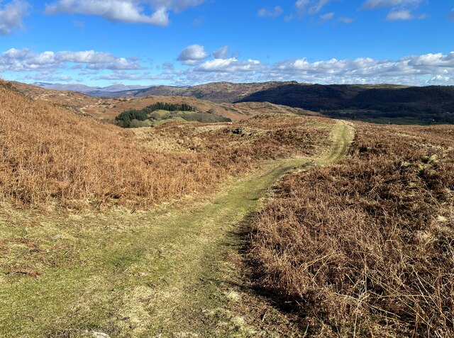
Black Moss is a picturesque area located in Lancashire, England. Spanning across vast downs and moorland, it is known for its stunning natural beauty and diverse wildlife. The landscape is characterized by rolling hills, heather-covered moors, and scattered patches of woodland, creating a serene and tranquil atmosphere.

The area is home to a wide range of plant and animal species, making it a prime spot for nature enthusiasts and birdwatchers. The moorland is adorned with vibrant purple heather during the summer months, offering a breathtaking sight to behold. It is also a habitat for various bird species, including skylarks, curlews, and peregrine falcons, making it an ideal location for birdwatching enthusiasts.

Black Moss is also steeped in history, with remnants of ancient settlements and burial mounds scattered throughout the area. These archaeological sites provide a glimpse into the region's past, showcasing the rich cultural heritage of Lancashire.

The area is popular among outdoor enthusiasts, offering numerous walking trails and hiking routes that allow visitors to explore its natural wonders. The Downs provide panoramic views of the surrounding countryside, while the moorland offers a sense of solitude and tranquility.

Black Moss is easily accessible, with nearby towns providing amenities such as accommodation, restaurants, and visitor centers. Its close proximity to major cities like Manchester and Liverpool makes it a convenient destination for day trips or weekend getaways.

Overall, Black Moss is a haven for nature lovers and history buffs alike, offering a unique blend of natural beauty and cultural heritage in the heart of Lancashire.

If you have any feedback on the listing, please let us know in the comments section below.
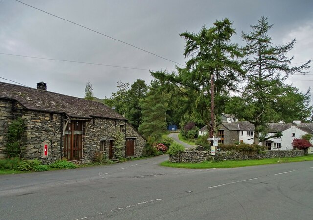
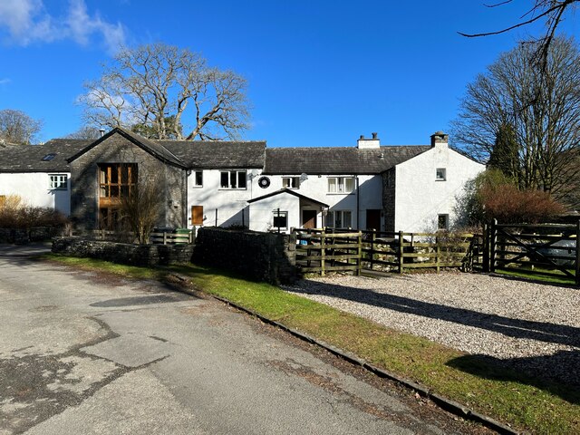
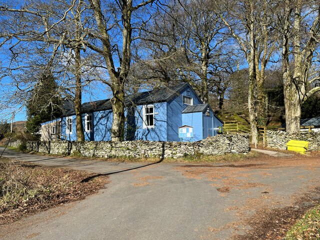
Black Moss Images

Images are sourced within 2km of 54.282464/-3.1120662 or Grid Reference SD2787. Thanks to Geograph Open Source API. All images are credited.

Farmland at High Nibthwaite South of Coniston Water. The crag on the left is Brook Barrow
Farmland at High Nibthwaite
South of Coniston Water. The crag on the left is Brook Barrow
Wide valley of the River Crake
Former Blawith church Formerly this was the Church of St John the Baptist but it became redundant in 1988 and was sold to be converted in 2012
Former Blawith church
Formerly this was the Church of St John the Baptist but it became redundant in 1988 and was sold to be converted in 2012
Ordnance Survey Rivet This OS rivet can be found on a rock south side of the road. It marks a point 124.383m above mean sea level.
Ordnance Survey Rivet
This OS rivet can be found on a rock south side of the road. It marks a point 124.383m above mean sea level.
Ordnance Survey Cut Mark This OS cut mark can be found on a rock south side of the road. It marks a point 126.204m above mean sea level.
Ordnance Survey Cut Mark
This OS cut mark can be found on a rock south side of the road. It marks a point 126.204m above mean sea level.
Ordnance Survey Rivet This OS rivet can be found on a boulder east side of the road. It marks a point 139.317m above mean sea level.
Ordnance Survey Rivet
This OS rivet can be found on a boulder east side of the road. It marks a point 139.317m above mean sea level.
Ordnance Survey Rivet This OS rivet can be found on boulder SW side of the track. It marks a point 133.905m above mean sea level.
Ordnance Survey Rivet
This OS rivet can be found on boulder SW side of the track. It marks a point 133.905m above mean sea level.
Ordnance Survey Rivet This OS rivet can be found on the culvert NE side of the road. It marks a point 124.724m above mean sea level.
Ordnance Survey Rivet
This OS rivet can be found on the culvert NE side of the road. It marks a point 124.724m above mean sea level.
Ordnance Survey Rivet This damaged OS rivet can be found on the rock NE side of the road. It marks a point 124.942m above mean sea level.
Ordnance Survey Rivet
This damaged OS rivet can be found on the rock NE side of the road. It marks a point 124.942m above mean sea level.
Ordnance Survey Rivet This OS rivet can be found on a rock south side of the road. It marks a point 75,204m above mean sea level.
Ordnance Survey Rivet
This OS rivet can be found on a rock south side of the road. It marks a point 75,204m above mean sea level.
A5084 in the Crake Valley
Road junction in Water Yeat
Water Yeat Mill This former corn mill was supplied with water power by Greenholme Beck, fed by Beacon Tarn.  It was converted in the mid-1960s into sheltered accommodation for elderly people and now, much altered, it is partly residential with the remainder let for holidays.
Water Yeat Mill
This former corn mill was supplied with water power by Greenholme Beck, fed by Beacon Tarn. It was converted in the mid-1960s into sheltered accommodation for elderly people and now, much altered, it is partly residential with the remainder let for holidays.
Blawith and Nibthwaite Village Hall This small, wooden village hall is located in Water Yeat.  It is run as a charity by and for the benefit of the local community.
Blawith and Nibthwaite Village Hall
This small, wooden village hall is located in Water Yeat. It is run as a charity by and for the benefit of the local community.
The road to Greenholme Farm Bowder Knott is the hill in the right background.
The road to Greenholme Farm
Bowder Knott is the hill in the right background.
The Cumbria Way, Tottlebank The main track is the public bridleway from Tottlebank to Heathwaite; the track to the right is a public footpath to Cockenskell.
Northbound walkers following The Cumbria Way turn right here to follow the footpath up the hill (next photograph <a href="https://www.geograph.org.uk/photo/7428087">SD2688 : The Cumbria Way, Tottlebank</a>).
The Cumbria Way, Tottlebank
The main track is the public bridleway from Tottlebank to Heathwaite; the track to the right is a public footpath to Cockenskell. Northbound walkers following The Cumbria Way turn right here to follow the footpath up the hill (next photograph SD2688 : The Cumbria Way, Tottlebank).
Path on Tottlebank Height This path is the route of The Cumbria Way over the open fell between Tottlebank Farm and Cockenskell (next photograph <a href="https://www.geograph.org.uk/photo/7432096">SD2788 : The Cumbria Way near The Low</a>).
Path on Tottlebank Height
This path is the route of The Cumbria Way over the open fell between Tottlebank Farm and Cockenskell (next photograph SD2788 : The Cumbria Way near The Low).
Path on Tottlebank Height This undulating path is the route of The Cumbria Way over the open fell between Tottlebank Farm and Cockenskell (next photograph <a href="https://www.geograph.org.uk/photo/7427169">SD2788 : Path on Tottlebank Height</a>).
Path on Tottlebank Height
This undulating path is the route of The Cumbria Way over the open fell between Tottlebank Farm and Cockenskell (next photograph SD2788 : Path on Tottlebank Height).
Show me another place!

Black Moss is located at Grid Ref: SD2787 (Lat: 54.282464, Lng: -3.1120662)

Administrative County: Cumbria

District: South Lakeland

Police Authority: Cumbria

What 3 Words

///between.punch.september. Near Ulverston, Cumbria

Nearby Locations

Wood Park Black Moss

Related Wikis

Blawith and Subberthwaite

Blawith and Subberthwaite is a civil parish in the South Lakeland district of Cumbria, England. It is situated in the Lake District National Park, and...

St John the Baptist's Church, Blawith

St John the Baptist's Church is a redundant Anglican church in the settlement of Blawith, Cumbria, England. It is located to the east of the A5084 road...

Blawith Knott

Blawith Knott is a hill in the south of the English Lake District, near Woodland, Cumbria. It is the subject of a chapter of Wainwright's book The Outlying...

Woodland Fell

Woodland Fell is an upland area in the south of the English Lake District, south of Torver, Cumbria. It is the subject of a chapter of Wainwright's book...

Furness

Furness ( FUR-niss, fur-NESS) is a peninsula and region of Cumbria, England. Together with the Cartmel Peninsula it forms North Lonsdale, historically...

Lowick, Cumbria

Lowick is a village and civil parish in the South Lakeland district of the English county of Cumbria. Prior to 1 April 1974 it was part of Lancashire,...

Nibthwaite

Nibthwaite is a village in the South Lakeland District in the county of Cumbria in the northwest of England. It is in the civil parish of Colton, and on...

Beacon Fell, Cumbria

Beacon Fell is a fell in the southern Lake District of England with an altitude of 836 feet (255 m). It is the subject of a chapter of Wainwright's book...

Nearby Amenities

Located within 500m of 54.282464,-3.1120662
Houlker Hall Bank
Place: locality
Lat/Long: 54.283722/-3.1080663
Ford: yes
Lat/Long: 54.2807042/-3.118567
Ford: yes
Lat/Long: 54.2809943/-3.1181475
Ford: yes
Lat/Long: 54.2796134/-3.10708
The data included in this document is from www.openstreetmap.org. The data is made available under ODbL.

Have you been to Black Moss?

Leave your review of Black Moss below (or comments, questions and feedback).