Coed-Talon Banks
Downs, Moorland in Flintshire
Wales
Coed-Talon Banks
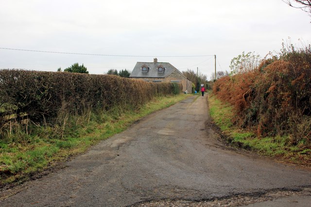
Coed-Talon Banks, located in Flintshire, Wales, is a beautiful area known for its diverse landscapes, including downs and moorland. Spanning approximately 200 hectares, it offers a tranquil natural setting for visitors to enjoy.
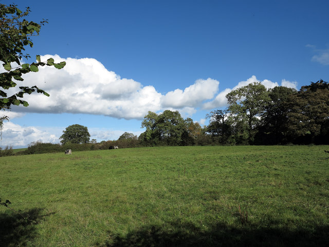
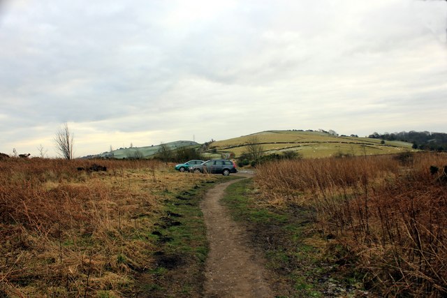
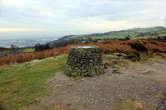
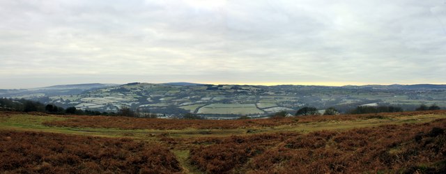
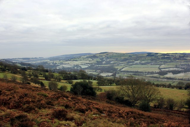
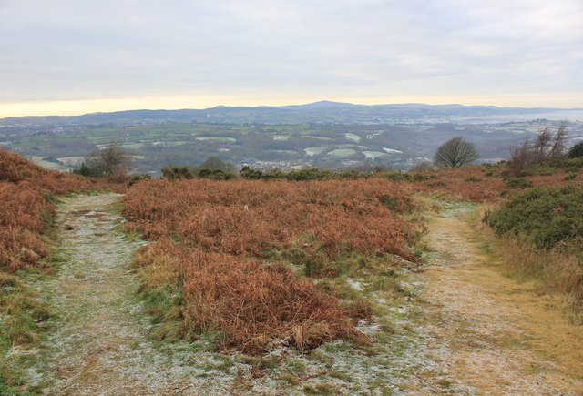
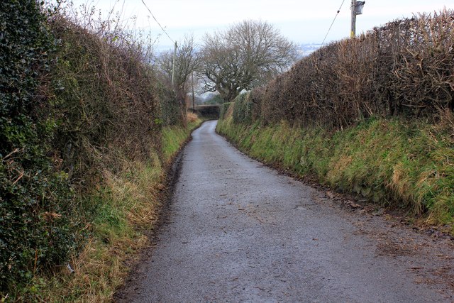
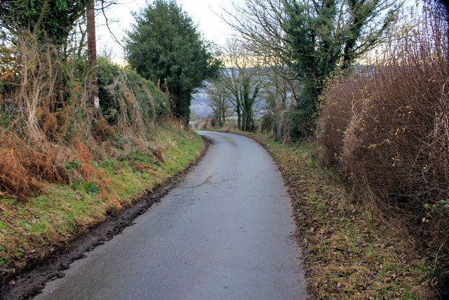
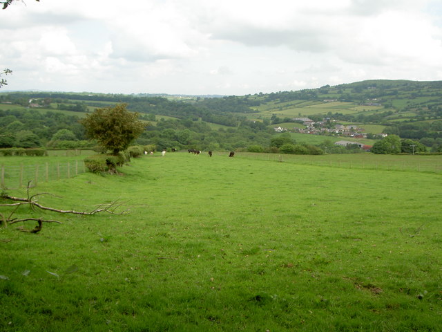
The downs in Coed-Talon Banks are characterized by rolling hills and open grasslands. These areas provide stunning panoramic views of the surrounding countryside, making it a popular spot for hikers and nature enthusiasts. The downs are home to a variety of plant species, including heather and gorse, which add vibrant colors to the landscape.
The moorland in Coed-Talon Banks is a unique feature that attracts wildlife enthusiasts. This habitat is characterized by extensive areas of peat soils, with patches of heath and bog vegetation. Moorland birds such as curlews and lapwings can be spotted here, as well as various species of butterflies and dragonflies.
Coed-Talon Banks is also famed for its rich history. The area has evidence of early human settlements, with archaeological finds dating back to the Neolithic period. Ancient burial mounds and stone circles can still be seen, providing a glimpse into the past.
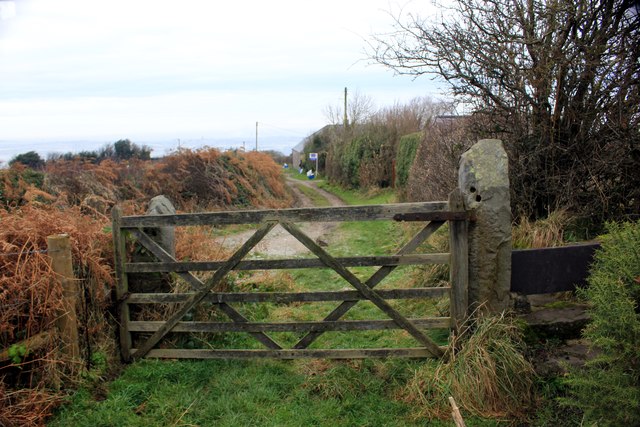
The site is well-maintained, with marked trails and picnic areas for visitors to explore and enjoy. It is also a designated nature reserve, ensuring the protection of its unique flora and fauna.
Overall, Coed-Talon Banks offers a diverse and breathtaking natural experience, combining downs, moorland, and historical sites. It is a haven for nature enthusiasts, hikers, and anyone seeking tranquility amidst the beautiful countryside of Flintshire.
If you have any feedback on the listing, please let us know in the comments section below.
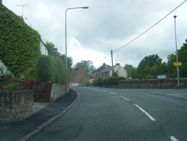
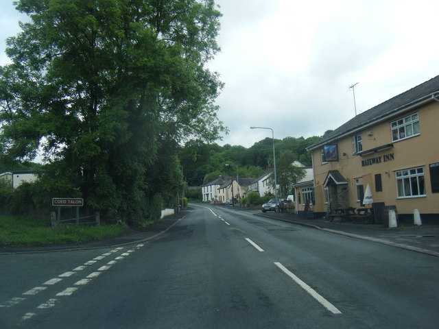
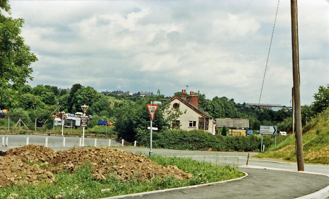
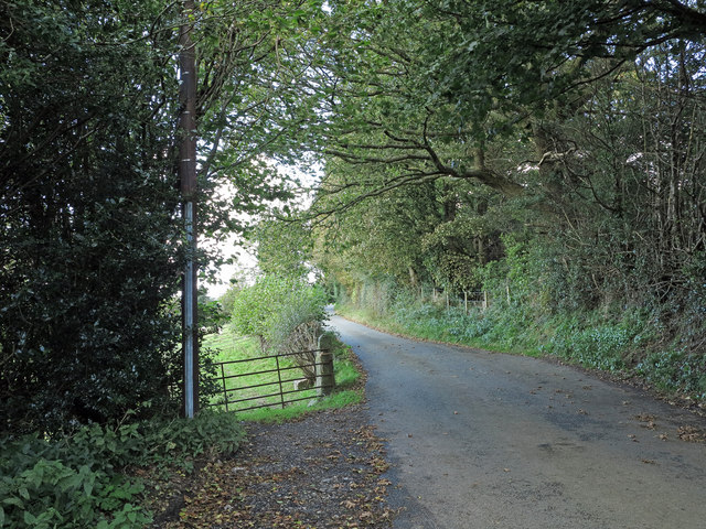
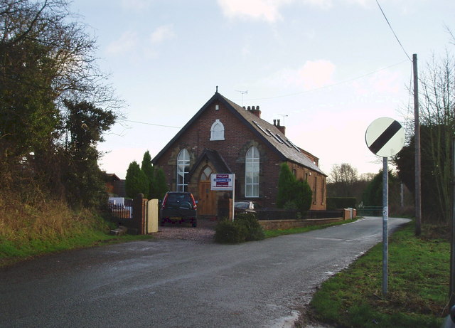
Coed-Talon Banks Images
Images are sourced within 2km of 53.115699/-3.0954049 or Grid Reference SJ2658. Thanks to Geograph Open Source API. All images are credited.


Coed-Talon Banks is located at Grid Ref: SJ2658 (Lat: 53.115699, Lng: -3.0954049)
Unitary Authority: Flintshire
Police Authority: North Wales
What 3 Words
///voltages.cools.fumes. Near Treuddyn, Flintshire
Nearby Locations
Related Wikis
Coed Talon
Coed Talon (also spelt "Coed-talon") is a small, formerly industrial village between Leeswood and Treuddyn in Flintshire, Wales. Its name is derived from...

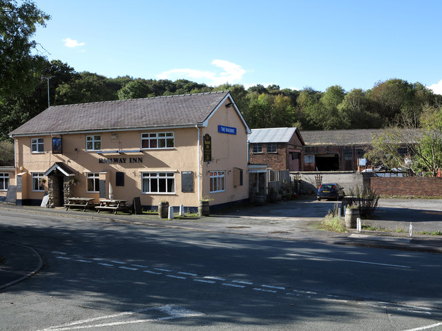
Coed Talon railway station
Coed Talon railway station was a station in Coed Talon, Flintshire, Wales. The station was opened on 1 January 1892, closed to passengers on 27 March 1950...

Treuddyn
Treuddyn is a village, community and electoral ward in Flintshire, Wales, located just off the A5104 road, around 4 miles south-east of Mold and 3 miles...

North East Wales
North East Wales (Welsh: Gogledd-Ddwyrain Cymru) is an area or region of Wales, commonly defined as a grouping of the principal areas of Denbighshire,...

North East Wales National Park
A national park has been proposed to replace the Clwydian Range and Dee Valley AONB in the north-east of Wales. Proposals for the then Clwydian Range AONB...
Llanfynydd, Flintshire
Llanfynydd is a village, local government community and electoral ward in Flintshire, Wales. Its name is derived from the Welsh words llan ("enclosure...

Leeswood
Leeswood (Welsh: Coed-llai) is a village, community and electoral ward in Flintshire, Wales, about four miles from the historic market town of Mold. At...
Llanfynydd railway station
Llanfynydd railway station was a station in Llanfynydd, Flintshire, Wales. The station was opened on 2 May 1898, closed to passengers on 27 March 1950...
Nearby Amenities
Located within 500m of 53.115699,-3.0954049Have you been to Coed-Talon Banks?
Leave your review of Coed-Talon Banks below (or comments, questions and feedback).