Bleacrag Moss

Downs, Moorland in Cumberland Allerdale

England

Bleacrag Moss

Scree, boulders and sheepfold below hidden crag The crag from which the boulders and scree have fallen is largely obscured by trees; they're on the western side of Castle Crag in  Borrowdale.
Scree, boulders and sheepfold below hidden crag Credit: Trevor Littlewood

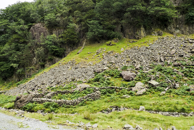
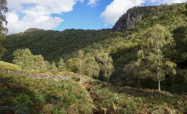
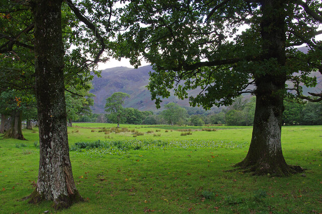
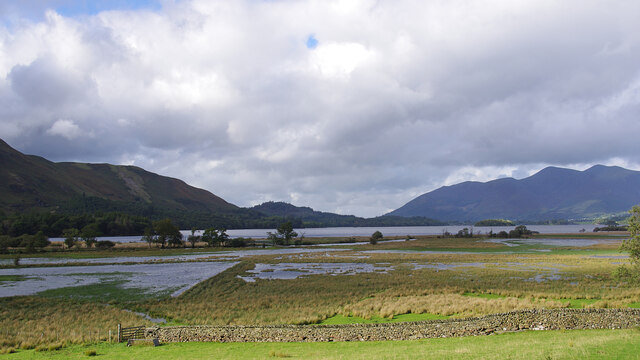
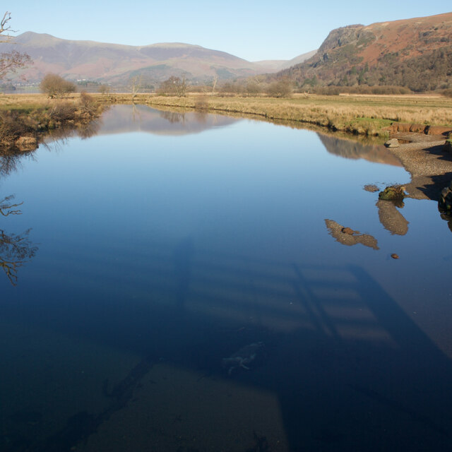
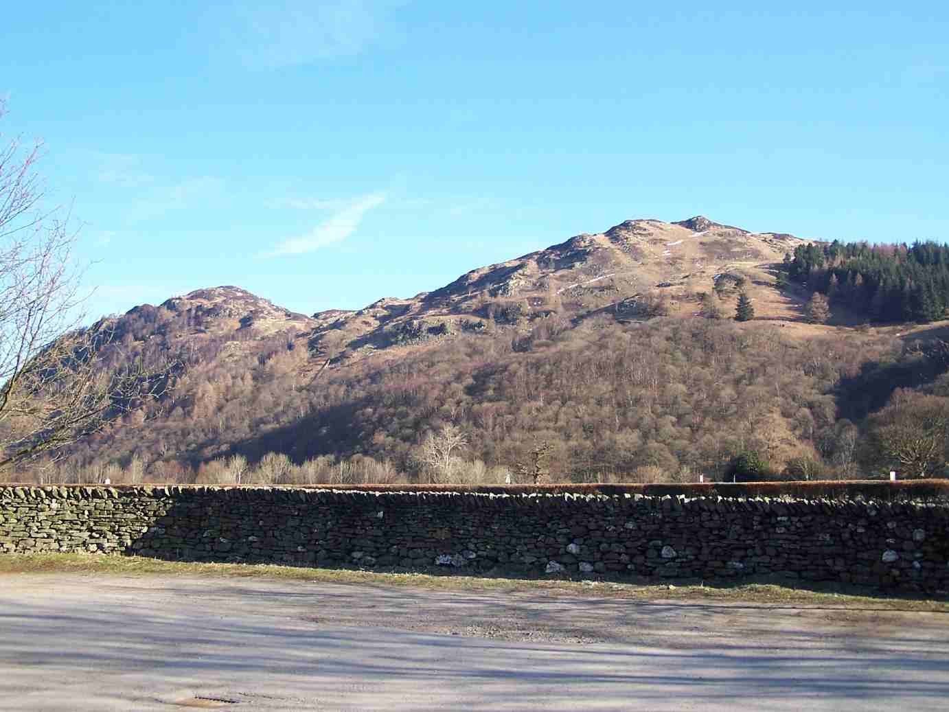
Bleacrag Moss is a captivating and picturesque location nestled in the Cumberland region of England, specifically located in the Downs area. It is a vast expanse of pristine moorland, adorned with an abundance of unique and diverse flora and fauna. The moss is located at an altitude of approximately 500 meters above sea level, offering breathtaking panoramic views of the surrounding countryside.

The moss is renowned for its vibrant and verdant landscape, carpeted with a variety of moss species that thrive in the damp and acidic conditions. Visitors are greeted by an array of colors, ranging from vibrant greens to earthy browns, creating a captivating sight that is a haven for nature enthusiasts and photographers alike.

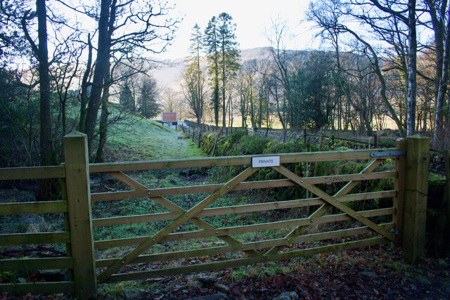
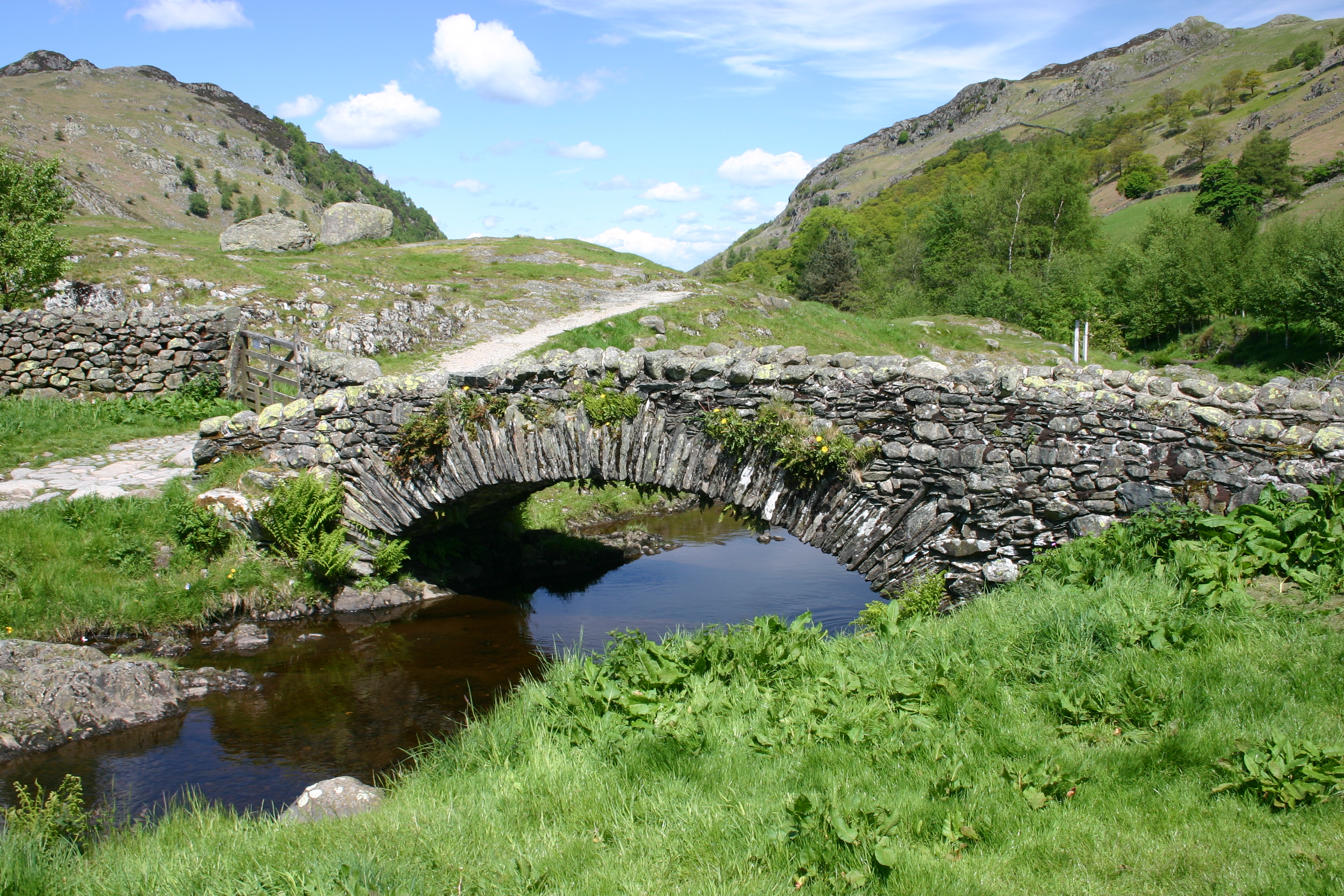
The Cumberland Downs, where Bleacrag Moss is situated, is a popular destination for hikers and walkers, offering a multitude of trails that wind through the moss. The terrain varies from gentle slopes to more challenging ascents, providing something for all levels of fitness and experience.

The moss is also home to an array of wildlife, with notable sightings of red grouse, golden plovers, and curlews. It is a designated Site of Special Scientific Interest, recognized for its ecological importance and conservation efforts.

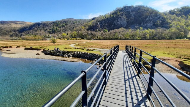
Visitors to Bleacrag Moss can expect a tranquil and immersive experience, as the remote location is far from the hustle and bustle of urban life. It offers a unique opportunity to connect with nature and revel in the beauty of the Cumberland Downs, making it a must-visit destination for those seeking a peaceful retreat amidst the stunning English countryside.

If you have any feedback on the listing, please let us know in the comments section below.

Bleacrag Moss Images

Images are sourced within 2km of 54.543585/-3.1385115 or Grid Reference NY2617. Thanks to Geograph Open Source API. All images are credited.

Scree, boulders and sheepfold below hidden crag The crag from which the boulders and scree have fallen is largely obscured by trees; they're on the western side of Castle Crag in  Borrowdale.
Scree, boulders and sheepfold below hidden crag
The crag from which the boulders and scree have fallen is largely obscured by trees; they're on the western side of Castle Crag in Borrowdale.
Stone laid path with clumps of heather The path has risen from Watendlath and continues to the summit of High Tove, though not in the well-constructed form seen in the image. The heather, (Calluna vulgaris), is at the peak of its flowering.
Stone laid path with clumps of heather
The path has risen from Watendlath and continues to the summit of High Tove, though not in the well-constructed form seen in the image. The heather, (Calluna vulgaris), is at the peak of its flowering.
Footbridge over the River Derwent Across the flat river flood plain can be seen Shepherds Crag.
Footbridge over the River Derwent
Across the flat river flood plain can be seen Shepherds Crag.
Watendlath, 1987 From across the tarn.
Watendlath, 1987
From across the tarn.
Wall with gap in Troutdale Troutdale is a minor side valley in Borrowdale. The gap in the wall presumably was once sealable by a gate; a bridleway passes through there now.
Wall with gap in Troutdale
Troutdale is a minor side valley in Borrowdale. The gap in the wall presumably was once sealable by a gate; a bridleway passes through there now.
Rocky knolls of Brund Fell Brund Fell, the main summit of Grange Fell has a number of features similar to these knolls including the highest point itself. The knolls in the image lie south-east from the summit. High Seat is the shadowed hill in the distance.
Rocky knolls of Brund Fell
Brund Fell, the main summit of Grange Fell has a number of features similar to these knolls including the highest point itself. The knolls in the image lie south-east from the summit. High Seat is the shadowed hill in the distance.
Rock outcrops on Brund Fell Multiple rock outcrops to the west of the summit area of Brund Fell which is the highest area of Grange Fell.
In the distance the pointed hill near to the centre of the image is Dale Head; nearer and to the right of it, is High Spy.
Rock outcrops on Brund Fell
Multiple rock outcrops to the west of the summit area of Brund Fell which is the highest area of Grange Fell. In the distance the pointed hill near to the centre of the image is Dale Head; nearer and to the right of it, is High Spy.
Detached house in Grange The house is on the road heading out of Grange towards the bridge over the River Derwent.
The wooded slopes beyond rise to King's How, one of the tops of Grange Fell.
Detached house in Grange
The house is on the road heading out of Grange towards the bridge over the River Derwent. The wooded slopes beyond rise to King's How, one of the tops of Grange Fell.
Abandoned slate quarry, Castle Crag
Roadside trees, Borrowdale The number of trees increases as you move away from the head of Derwent Water or the River Derwent.
Roadside trees, Borrowdale
The number of trees increases as you move away from the head of Derwent Water or the River Derwent.
River Derwent flood plain The flat ground at the head of Derwent Water frequently floods. Skiddaw is in the far distance.
River Derwent flood plain
The flat ground at the head of Derwent Water frequently floods. Skiddaw is in the far distance.
Watendlath
Watendlath
The path by Broadslack Gill
Machinery at Hollows Farm
The road through Grange
River Derwent From the Chinese Bridge — looks nice enough to swim in, but take a closer look into the water in the shadow of the bridge: a dead sheep.
River Derwent
From the Chinese Bridge — looks nice enough to swim in, but take a closer look into the water in the shadow of the bridge: a dead sheep.
Footpath through Lodore Hotel On my map this is supposed to be a Permissive path to avoid using the road. On the latest O.S. mapping it's classed as a Public Footpath.

Either way its use is not welcoming and the 'bridge' over the beck just beyond the gate is very precarious.
Footpath through Lodore Hotel
On my map this is supposed to be a Permissive path to avoid using the road. On the latest O.S. mapping it's classed as a Public Footpath. Either way its use is not welcoming and the 'bridge' over the beck just beyond the gate is very precarious.
By heck — a double heck Explanation: a 'heck' is a Cumbrian water-gate.
By heck — a double heck
Explanation: a 'heck' is a Cumbrian water-gate.
Show me another place!

Bleacrag Moss is located at Grid Ref: NY2617 (Lat: 54.543585, Lng: -3.1385115)

Administrative County: Cumbria

District: Allerdale

Police Authority: Cumbria

What 3 Words

///shifting.flagpole.value. Near Keswick, Cumbria

Related Wikis

Grange Fell

Grange Fell is a small fell in the English Lake District in the county of Cumbria, situated in the Borrowdale valley overlooking the villages of Grange...

Bowder Stone

The Bowder Stone is a large andesite lava boulder, that fell 200 metres (660 ft) from the Bowder Crag on Kings How between 13,500 and 10,000 years ago...

Grange in Borrowdale

Grange, often called Grange in Borrowdale, is a village in Borrowdale in the English Lake District. It lies just off the B5289 road to the south of Derwent...

Watendlath

Watendlath is a hamlet and tarn (a small lake) in the Lake District in the English county of Cumbria, historically part of Cumberland, Watendlath is owned...

Nearby Amenities

Located within 500m of 54.543585,-3.1385115
Ether Knott
Place: locality
Lat/Long: 54.5444083/-3.1321702
Bleacrag Moss
Place: locality
Lat/Long: 54.5431677/-3.1387677
Caffell Side
Place: locality
Lat/Long: 54.5456889/-3.1333481
The data included in this document is from www.openstreetmap.org. The data is made available under ODbL.

Have you been to Bleacrag Moss?

Leave your review of Bleacrag Moss below (or comments, questions and feedback).