Black Fell
Downs, Moorland in Lancashire South Lakeland
England
Black Fell

Black Fell is a picturesque area located in Lancashire, England. It is characterized by its vast expanse of downs and moorland, offering visitors stunning views and a diverse range of natural features. The area is predominantly rural, with scattered farms and a sparse population.
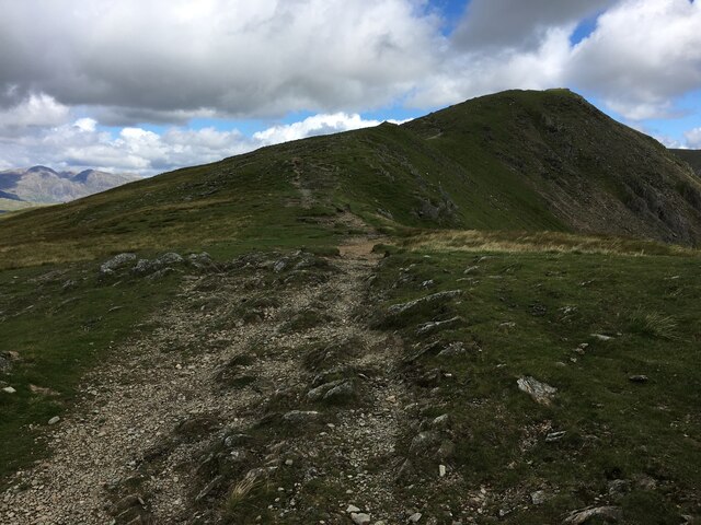
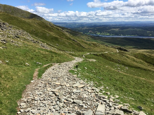
The downs of Black Fell are marked by rolling hills and grassy slopes, creating a serene and tranquil atmosphere. These downs provide ample grazing land for livestock and are often dotted with sheep or cattle. The landscape is further enhanced by the presence of dry stone walls, adding a touch of rustic charm to the surroundings.
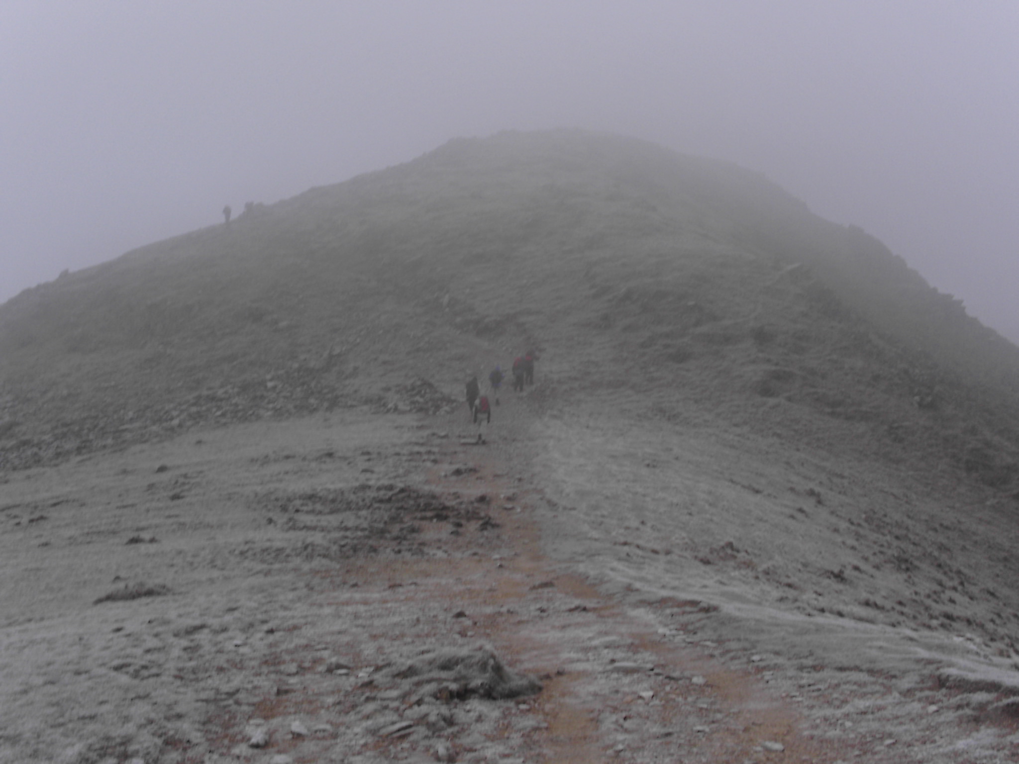
Moving towards the moorland, the scenery transforms into a more rugged and wild terrain. Here, visitors can explore vast stretches of heather-covered moors, punctuated by scattered patches of woodland. The moorland is crisscrossed by numerous footpaths and trails, making it a popular destination for hikers and nature enthusiasts.
Black Fell boasts a diverse range of flora and fauna, including various species of birds, such as curlews and lapwings, which can be spotted soaring above the moors. The area is also home to a variety of wildflowers, adding vibrant splashes of color to the landscape during the summer months.
Visitors to Black Fell can enjoy the tranquility of the countryside, take leisurely walks, or simply sit back and admire the breathtaking views. With its untouched natural beauty and serene atmosphere, Black Fell is a haven for those seeking a peaceful escape from the bustle of everyday life.
If you have any feedback on the listing, please let us know in the comments section below.
Black Fell Images
Images are sourced within 2km of 54.349752/-3.1374378 or Grid Reference SD2695. Thanks to Geograph Open Source API. All images are credited.


Black Fell is located at Grid Ref: SD2695 (Lat: 54.349752, Lng: -3.1374378)
Administrative County: Cumbria
District: South Lakeland
Police Authority: Cumbria
What 3 Words
///stealthier.protrude.reinstate. Near Ambleside, Cumbria
Nearby Locations
Related Wikis

Brown Pike
Brown Pike is a fell located in the Lake District National Park in Cumbria, England. Brown Pike is near the village of Coniston, and is most commonly approached...
Buck Pike
Buck Pike is a fell located in the Lake District National Park in Cumbria. Buck Pike is near the village of Coniston. Other fells in this area include...

Dow Crag
Dow Crag is a fell in the English Lake District near Coniston, Cumbria. The eastern face is one of the many rock faces in the Lake District used for rock...

Goat's Water
Goat's Water is a small accessible tarn in the English Lake District, located between Dow Crag and The Old Man of Coniston to the Duddon Valley, near the...

Old Man of Coniston
The Old Man of Coniston is a fell in the Furness Fells of the Lake District in Cumbria, England, and is the highest point (county top) of the historic...

Torver railway station
Torver railway station served the village of Torver, in Lancashire, England (now in Cumbria). It was on the branch line to Coniston. == History == Authorised...

St Luke's Church, Torver
St Luke's Church is in the village of Torver, Cumbria, England. It is an active Anglican parish church in the deanery of Furness, the archdeaconry of...

Torver
Torver is a village and civil parish in the South Lakeland district of Cumbria, England, 3 miles (4.8 km) south west of the village of Coniston and 1 mile...
Nearby Amenities
Located within 500m of 54.349752,-3.1374378Have you been to Black Fell?
Leave your review of Black Fell below (or comments, questions and feedback).