Blade Moss
Downs, Moorland in Lancashire South Lakeland
England
Blade Moss
Blade Moss is a small village located in Lancashire, England. Situated amidst picturesque countryside, it is renowned for its stunning downs and moorland. The village is surrounded by rolling hills and vast stretches of open land, making it a haven for nature lovers and hikers.
The downs in Blade Moss offer breathtaking views of the surrounding area. With their lush greenery and vibrant wildflowers, they provide a tranquil setting for outdoor activities such as picnicking, walking, and horseback riding. The downs also attract birdwatchers, as they are home to a diverse range of avian species, including skylarks and peregrine falcons.
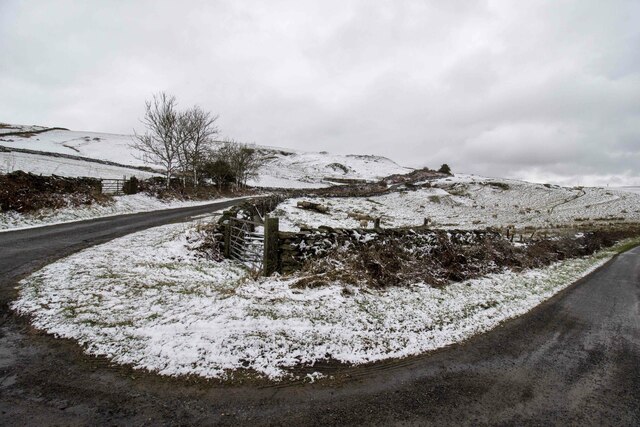
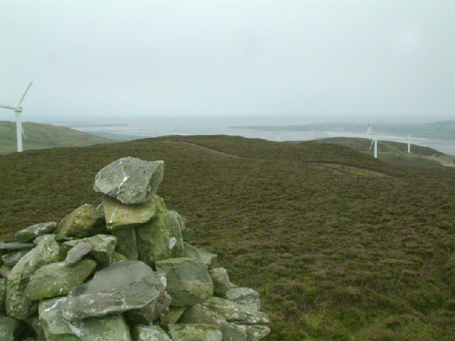
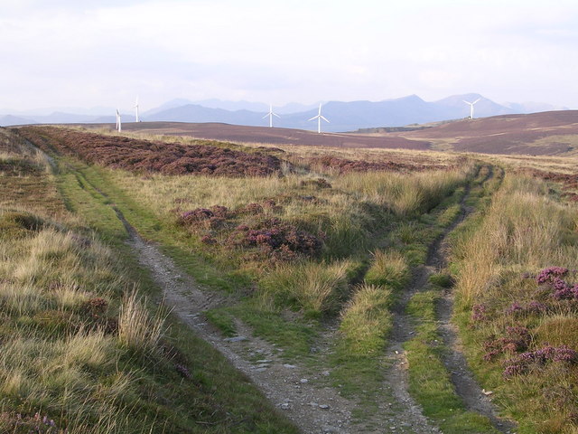
The moorland in Blade Moss is equally captivating. It is characterized by its rugged terrain, heather-covered hills, and peat bogs. The moors are a unique ecosystem, supporting a variety of plant and animal species, including rare and endangered ones. Visitors to the moorland can witness the beauty of the landscape while exploring its numerous walking trails and observing the wildlife.
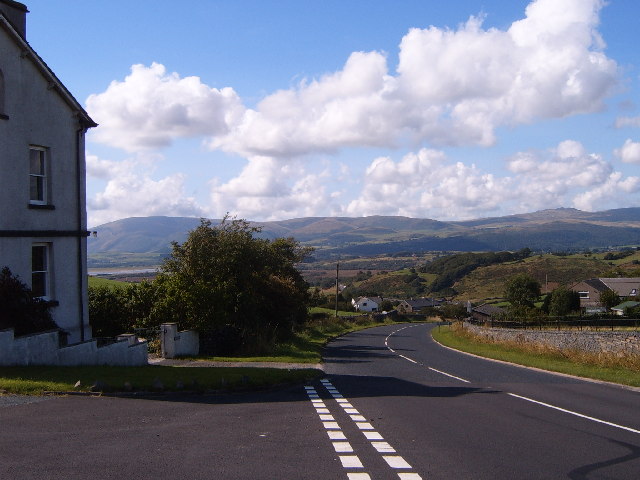
Blade Moss itself is a quintessential English village, with its charming cottages, stone walls, and friendly community. It has a small but vibrant local economy, centered around a few shops and cafes that cater to both residents and visitors. The village also hosts annual events, such as a summer fair and a harvest festival, which bring the community together.
In summary, Blade Moss, Lancashire, is a picturesque village surrounded by stunning downs and moorland. With its natural beauty and welcoming community, it provides a delightful destination for outdoor enthusiasts and those seeking a peaceful retreat in the heart of the English countryside.
If you have any feedback on the listing, please let us know in the comments section below.
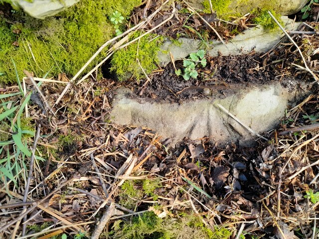
Blade Moss Images
Images are sourced within 2km of 54.235126/-3.1379954 or Grid Reference SD2582. Thanks to Geograph Open Source API. All images are credited.


Blade Moss is located at Grid Ref: SD2582 (Lat: 54.235126, Lng: -3.1379954)
Administrative County: Cumbria
District: South Lakeland
Police Authority: Cumbria
What 3 Words
///creeps.drive.subtitle. Near Ulverston, Cumbria
Nearby Locations
Related Wikis

Kirkby Moor
Kirkby Moor is a poorly defined moorland area in southern Cumbria, England, named after the village of Kirkby-in-Furness, but stretching both sides of...

Osmotherley, Cumbria
Osmotherley is a civil parish in South Lakeland, Cumbria, England, extending north from Ulverston. The village of Broughton Beck is the largest settlement...

Kirkby Slate Quarries
Kirkby Slate Quarries, formally known as Burlington Slate Quarries, are located near Kirkby-in-Furness in Cumbria, England. The quarries have produced...

Furness Fells
The Furness Fells are a multitude of hills and mountains in the Furness region of Cumbria, England. Historically part of Lancashire, the Furness Fells...
St John the Evangelist's Church, Osmotherley
St John the Evangelist's Church is in the village of Osmotherley, Cumbria, England. It is an active Anglican parish church in the deanery of Furness,...
Beanthwaite
Beanthwaite is a hamlet in Cumbria, England.

Gawthwaite
Gawthwaite is a village in Cumbria, England. It is located along the A5092 road, 4.8 miles (7.7 km) north of Ulverston. It is on the Grize Beck stream...

Broughton Beck
Broughton Beck is a village in the South Lakeland district of Cumbria, England. The village has two sections; one part is on the B5281 Ulverston to Gawthwaite...
Nearby Amenities
Located within 500m of 54.235126,-3.1379954Have you been to Blade Moss?
Leave your review of Blade Moss below (or comments, questions and feedback).