Tarn Head Moss

Downs, Moorland in Lancashire South Lakeland

England

Tarn Head Moss

Goat's Water from Dow Crag View down Easter Gully to Goat’s Water from near the summit of Dow Crag.
Goat's Water from Dow Crag Credit: Adrian Taylor

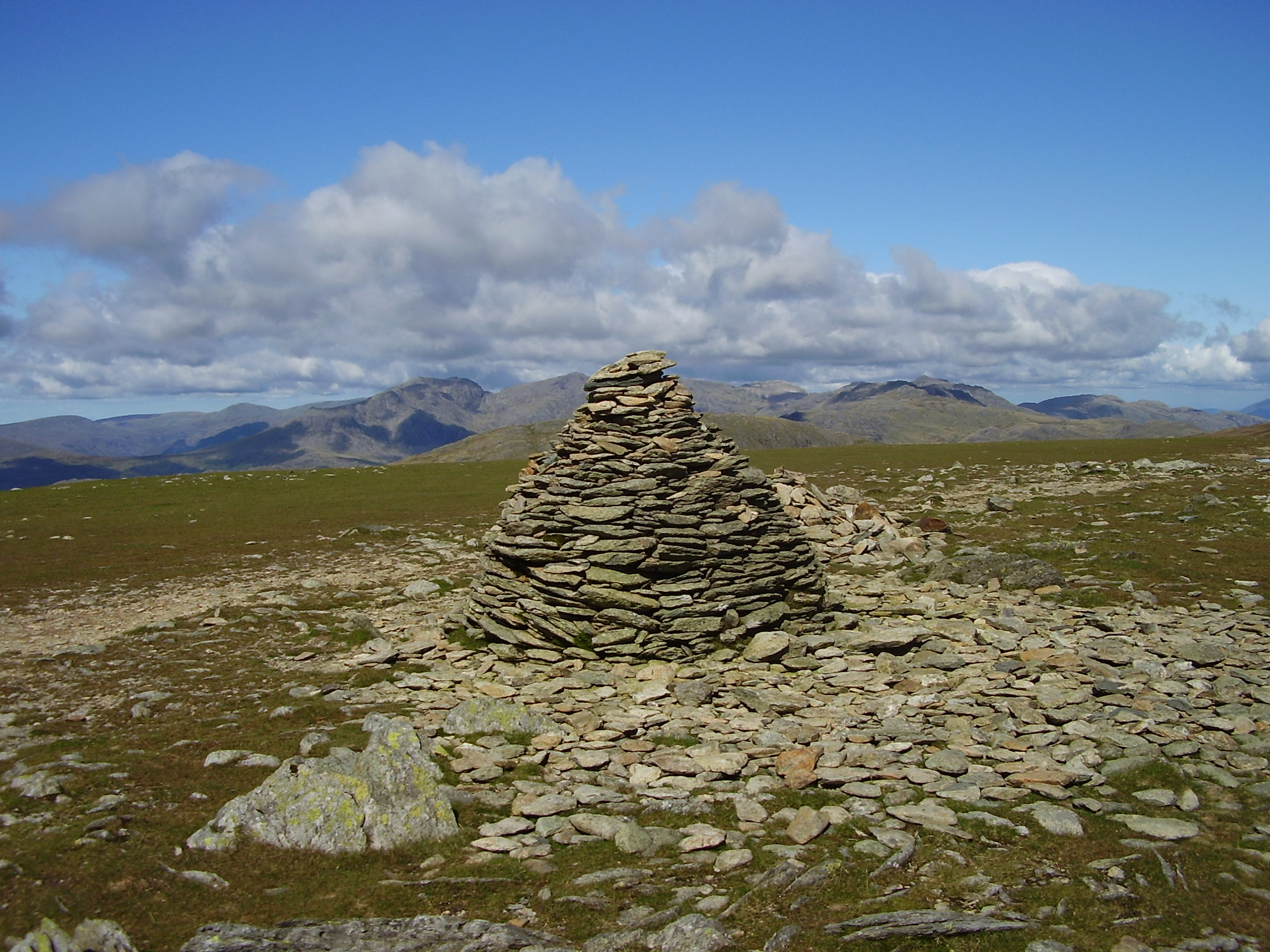
Tarn Head Moss is a vast expanse of moorland located in Lancashire, England. Situated in the county's Downs region, it covers a significant area and is known for its unique natural beauty and ecological importance.

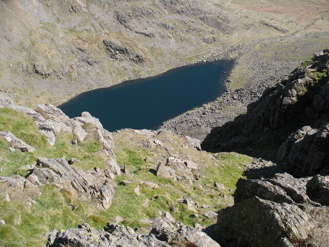
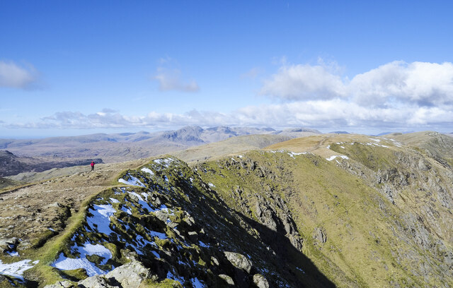
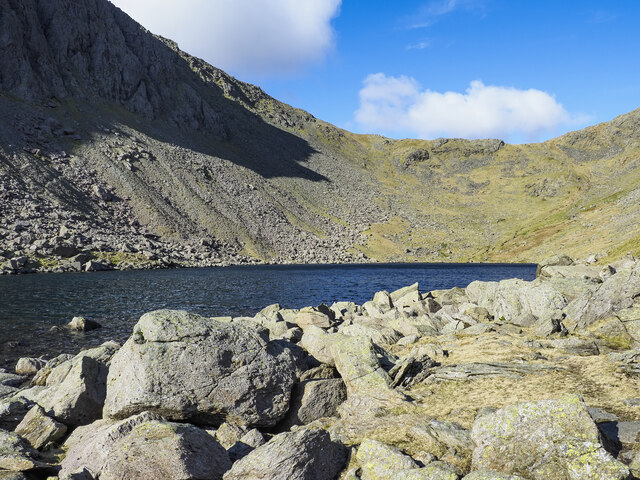
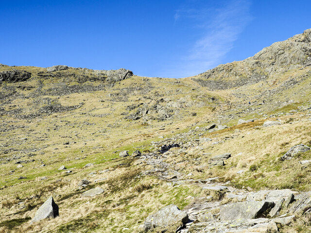
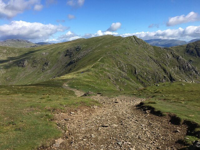
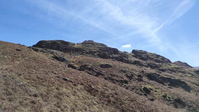
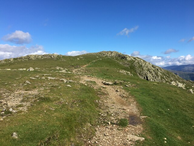
The moss is characterized by its undulating terrain, with stretches of open heathland interspersed with patches of dense vegetation and peat bogs. The landscape is dominated by heather, gorse, and bracken, creating a diverse and colorful display throughout the year. It is also home to a variety of wildlife, including birds such as curlews, lapwings, and golden plovers.

Tarn Head Moss is known for its role in water management, acting as a natural reservoir by retaining rainwater and slowly releasing it into local streams and rivers. The moss plays a crucial role in maintaining the water cycle and supporting the surrounding ecosystems.

In addition to its ecological significance, Tarn Head Moss also holds historical importance. The area is dotted with remnants of ancient settlements, including stone circles and burial mounds, indicating human presence dating back thousands of years. These archaeological sites offer a glimpse into the region's rich and varied past.

Tarn Head Moss is a popular destination for outdoor enthusiasts, offering opportunities for hiking, birdwatching, and nature photography. Its vast open spaces and unspoiled landscapes provide a peaceful retreat for visitors seeking tranquility and a connection with nature.

If you have any feedback on the listing, please let us know in the comments section below.

Tarn Head Moss Images

Images are sourced within 2km of 54.383511/-3.1430216 or Grid Reference SD2599. Thanks to Geograph Open Source API. All images are credited.

Goat's Water from Dow Crag View down Easter Gully to Goat’s Water from near the summit of Dow Crag.
Goat's Water from Dow Crag
View down Easter Gully to Goat’s Water from near the summit of Dow Crag.
Crag rim at summit area of Coniston Old Man Snow residues lie at the edge of broken ground at the summit of the mountain. The crag rim and broad ridge extend initially to the north-west before turning north.
The Scafell group of mountains lie in the distance at the centre of the image.
Crag rim at summit area of Coniston Old Man
Snow residues lie at the edge of broken ground at the summit of the mountain. The crag rim and broad ridge extend initially to the north-west before turning north. The Scafell group of mountains lie in the distance at the centre of the image.
Northern slope of Dow Crag The darker slope rising to the left reaches Dow Crag. Goat's Hause is the col at the left side of the image from which a stream groove descends.
Harter Fell is the pyramidal peak at the centre of the image.
Northern slope of Dow Crag
The darker slope rising to the left reaches Dow Crag. Goat's Hause is the col at the left side of the image from which a stream groove descends. Harter Fell is the pyramidal peak at the centre of the image.
Boulders at shore of Goat's Water Goat's Water lies between two mountains of the Coniston group. The Old Man of Coniston rises unseen to the right, Dow Crag, to the left, across the lake.
Goat's Hause is the col in the distance.
Boulders at shore of Goat's Water
Goat's Water lies between two mountains of the Coniston group. The Old Man of Coniston rises unseen to the right, Dow Crag, to the left, across the lake. Goat's Hause is the col in the distance.
Path rising towards Goat's Hause The path is partly constructed using rocks set into the ground to minimise erosion. More work on the route seems to be planned - along the path line, below the image centre there are bagged boulders awaiting use to improve or repair the way.
Goat's Hause is the obvious dip on the horizon.
Path rising towards Goat's Hause
The path is partly constructed using rocks set into the ground to minimise erosion. More work on the route seems to be planned - along the path line, below the image centre there are bagged boulders awaiting use to improve or repair the way. Goat's Hause is the obvious dip on the horizon.
Path between Brim Fell and Swirl How
Path on Savin Hill
Path on Savin Hill
Looking from Dow Crag towards Buck Pike
Trig point atop The Old Man Of Coniston
Benchmark, Coniston Old Man Detail of the flush bracket benchmark on the Ordnance Survey triangulation pillar on the summit of Coniston Old Man. The flush bracket, benchmark number S5473, is on the south-west face of the pillar and marks a height of 802.233m above mean sea level (Ordnance Datum Newlyn), last levelled for height in 1950 (location photograph <a href="https://www.geograph.org.uk/photo/7333822">SD2797 : Triangulation Pillar, Coniston Old Man</a>).
Prior to 1974 this was the highest benchmark in the county of Lancashire.
Benchmark, Coniston Old Man
Detail of the flush bracket benchmark on the Ordnance Survey triangulation pillar on the summit of Coniston Old Man. The flush bracket, benchmark number S5473, is on the south-west face of the pillar and marks a height of 802.233m above mean sea level (Ordnance Datum Newlyn), last levelled for height in 1950 (location photograph SD2797 : Triangulation Pillar, Coniston Old Man). Prior to 1974 this was the highest benchmark in the county of Lancashire.
Triangulation Pillar, Coniston Old Man The stone built Ordnance Survey triangulation pillar on the summit of Coniston Old Man.
The pillar was constructed in 1950. The flush bracket benchmark number S5473 on the south-west face of the pillar marks a height of 802.233m above mean sea level (Ordnance Datum Newlyn) last levelled for height in 1950 (detail photograph <a href="https://www.geograph.org.uk/photo/7333800">SD2797 : Benchmark, Coniston Old Man</a>).
This was the highest located triangulation pillar in the county of Lancashire until 1974.
Triangulation Pillar, Coniston Old Man
The stone built Ordnance Survey triangulation pillar on the summit of Coniston Old Man. The pillar was constructed in 1950. The flush bracket benchmark number S5473 on the south-west face of the pillar marks a height of 802.233m above mean sea level (Ordnance Datum Newlyn) last levelled for height in 1950 (detail photograph SD2797 : Benchmark, Coniston Old Man). This was the highest located triangulation pillar in the county of Lancashire until 1974.
Seathwaite Tarn (after Alfred Heaton Cooper) Alfred Heaton Cooper painted Seathwaite Tarn before the dam was built in 1907. His picture can easily be found on the Internet.  This photograph is close to the same view.  The photograph shows the dam, and the water level is higher than in Heaton Cooper's day.  Heaton Cooper's picture (at least in its reproductions) is squeezed in horizontally, but is otherwise a very accurate depiction of the scene.
Seathwaite Tarn (after Alfred Heaton Cooper)
Alfred Heaton Cooper painted Seathwaite Tarn before the dam was built in 1907. His picture can easily be found on the Internet. This photograph is close to the same view. The photograph shows the dam, and the water level is higher than in Heaton Cooper's day. Heaton Cooper's picture (at least in its reproductions) is squeezed in horizontally, but is otherwise a very accurate depiction of the scene.
Foss How Distinctively shaped outcrop.
Foss How
Distinctively shaped outcrop.
Seathwaite dam with Tarn Beck Water is released in a controlled fashion down Tarn Beck to top-up the Duddon if Barrow is taking too much water from it.
Seathwaite dam with Tarn Beck
Water is released in a controlled fashion down Tarn Beck to top-up the Duddon if Barrow is taking too much water from it.
Seathwaite Tarn Looking like the reservoir it has become, from this view.
Seathwaite Tarn
Looking like the reservoir it has become, from this view.
Sheep fold northeast of Tongue House Close For further info. see ‘MNA117875 | National Trust Heritage Records’. 2015. Nationaltrust.org.uk <<span class="nowrap"><a title="https://heritagerecords.nationaltrust.org.uk/HBSMR/MonRecord.aspx?uid=MNA117875" rel="nofollow ugc noopener" href="https://heritagerecords.nationaltrust.org.uk/HBSMR/MonRecord.aspx?uid=MNA117875">Link</a><img style="margin-left:2px;" alt="External link" title="External link - shift click to open in new window" src="https://s1.geograph.org.uk/img/external.png" width="10" height="10"/></span> > [accessed 18 October 2023]
Sheep fold northeast of Tongue House Close
For further info. see ‘MNA117875 | National Trust Heritage Records’. 2015. Nationaltrust.org.uk <LinkExternal link > [accessed 18 October 2023]
Reflections and Autumn Hues: Seathwaite Tarn's Enchanting Landscape
Path towards Swirl How
Show me another place!

Tarn Head Moss is located at Grid Ref: SD2599 (Lat: 54.383511, Lng: -3.1430216)

Administrative County: Cumbria

District: South Lakeland

Police Authority: Cumbria

What 3 Words

///players.steady.highlight. Near Ambleside, Cumbria

Related Wikis

Seathwaite Tarn

Seathwaite Tarn is a reservoir in the Furness Fells within the English Lake District. It is located to the south of Grey Friar and to the west of Brim...

Grey Friar

Grey Friar is a fell in the English Lake District, it is one of the Coniston Fells and is situated 13 kilometres (8 miles) west-south-west of Ambleside...

Brim Fell

Brim Fell is a fell in the English Lake District. It stands to the west of Coniston village in the southern part of the District. == Topography == The...

Dow Crag

Dow Crag is a fell in the English Lake District near Coniston, Cumbria. The eastern face is one of the many rock faces in the Lake District used for rock...

Nearby Amenities

Located within 500m of 54.383511,-3.1430216
Source: npe
Lat/Long: 54.3818816/-3.1496783
Source: npe
Lat/Long: 54.383066/-3.1460658
Source: npe
Lat/Long: 54.383216/-3.1436195
Source: npe
Lat/Long: 54.3814501/-3.1461728
Source: npe
Lat/Long: 54.3804418/-3.1471213
Seathwaite Tarn Copper Mine-Lower Level
Abandoned: yes
Man Made: mine
Mineral: copper
Lat/Long: 54.384148/-3.13858
Raven Nest How
Place: locality
Lat/Long: 54.3817847/-3.1444225
Goat Crag
Place: locality
Lat/Long: 54.3863201/-3.1488419
Abandoned: yes
Direction: 350
Man Made: adit
Lat/Long: 54.3842886/-3.1386124
The data included in this document is from www.openstreetmap.org. The data is made available under ODbL.

Have you been to Tarn Head Moss?

Leave your review of Tarn Head Moss below (or comments, questions and feedback).