Braes of the Carse

Downs, Moorland in Perthshire

Scotland

Braes of the Carse

Pile of snow at Scottish Antique and Art Centre, Abernyte
Pile of snow at Scottish Antique and Art Centre, Abernyte Credit: Sandy Gerrard

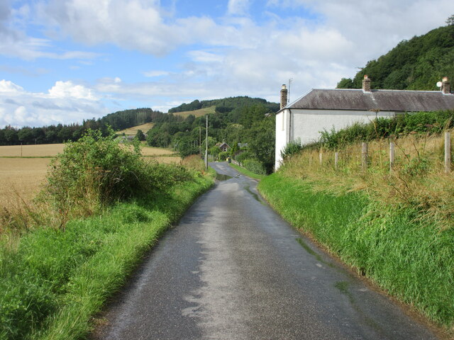
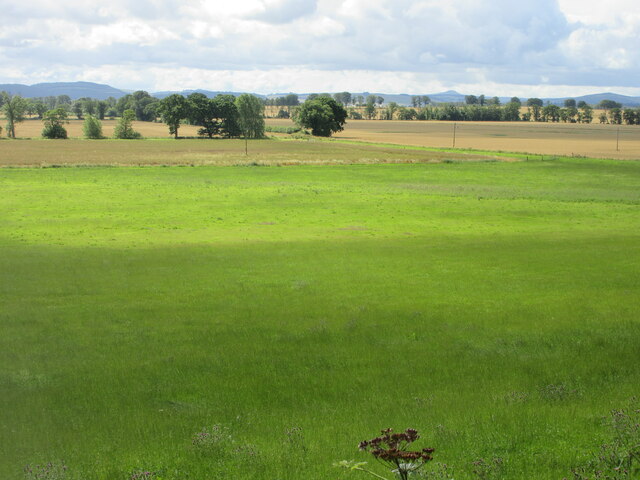
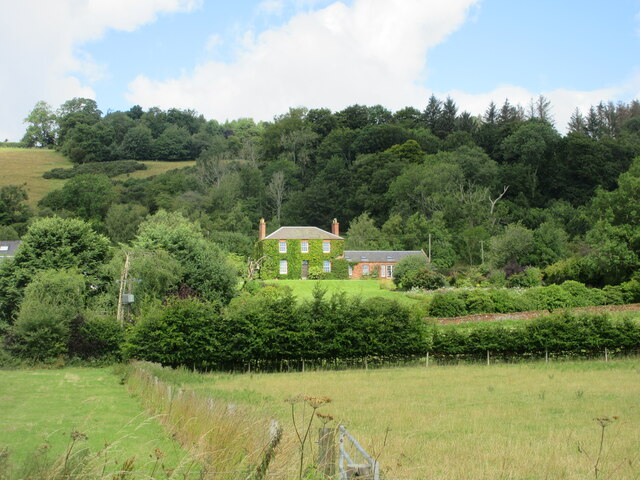
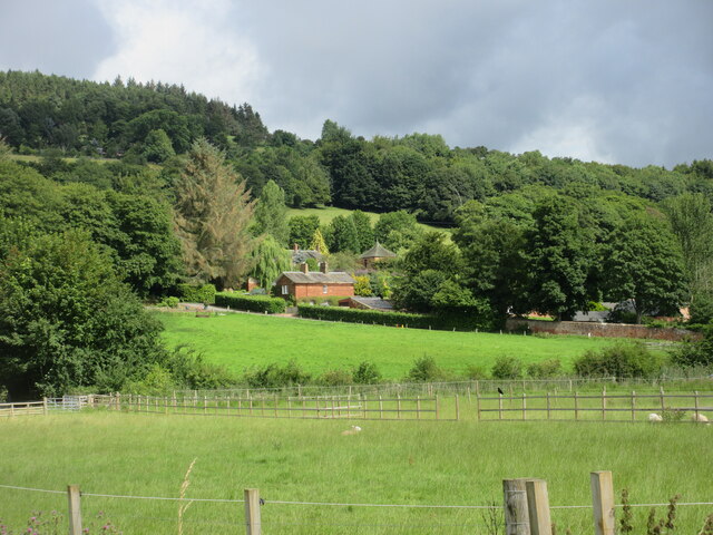
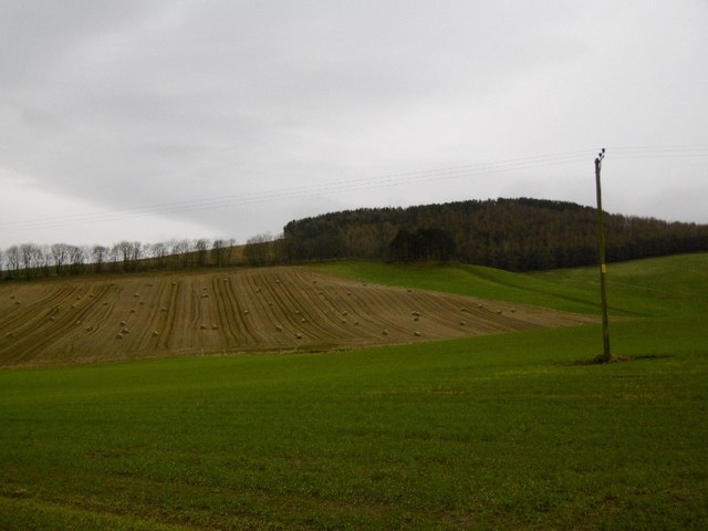
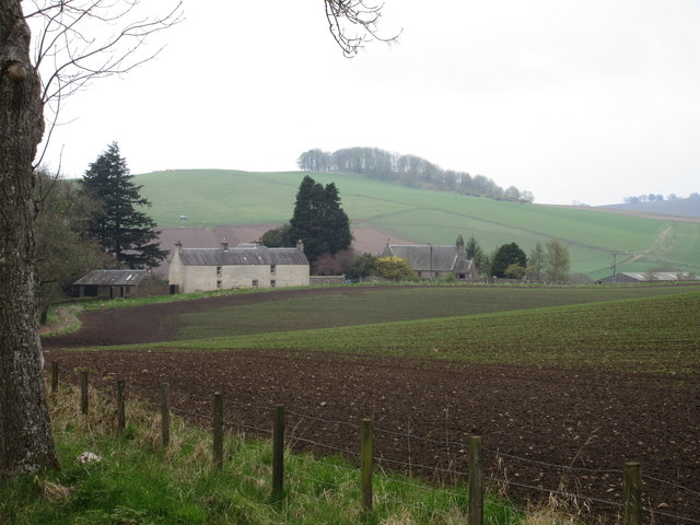
Located in Perthshire, Scotland, the Braes of the Carse is a picturesque area characterized by its stunning downs and moorland. The region spans over rolling hills and valleys, offering breathtaking views of the surrounding landscapes. With its diverse terrain and natural beauty, the Braes of the Carse attracts outdoor enthusiasts and nature lovers alike.

The downs of the Braes of the Carse are characterized by their gently sloping hills, covered in lush green grasses and dotted with colorful wildflowers during the summer months. These downs provide a perfect setting for hiking, walking, or picnicking, with well-marked paths allowing visitors to explore the area at their own pace.

In contrast, the moorland of the Braes of the Carse offers a unique and rugged landscape. Covered in heather and moss, the moors create a striking contrast against the vibrant greens of the downs. The moorland is home to a variety of wildlife, including deer, grouse, and various bird species, making it a popular spot for birdwatching and wildlife photography.

The Braes of the Carse is also known for its historical significance. The area was once home to several ancient settlements, and remnants of these can still be seen today, adding an element of intrigue and fascination to the region.

Overall, the Braes of the Carse in Perthshire offers a diverse and captivating landscape, combining the gentle beauty of downs with the rugged charm of moorland. Whether visitors are seeking a peaceful stroll or an adventurous hike, this area provides an idyllic setting for outdoor exploration and appreciation of nature.

If you have any feedback on the listing, please let us know in the comments section below.

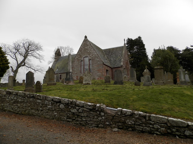
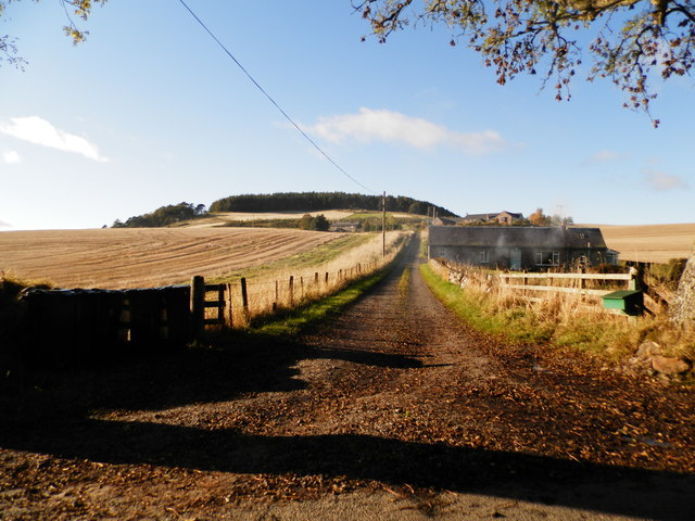
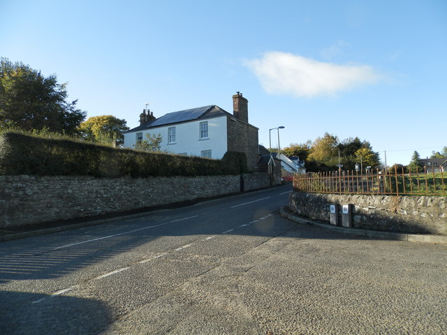
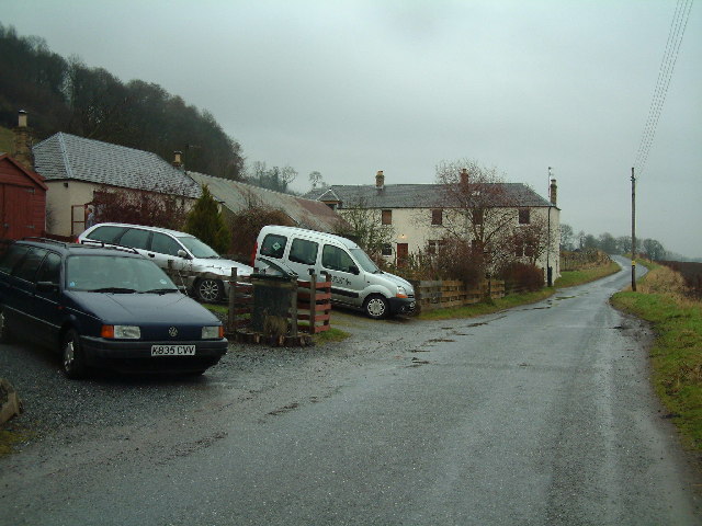
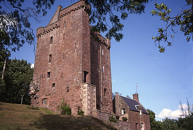
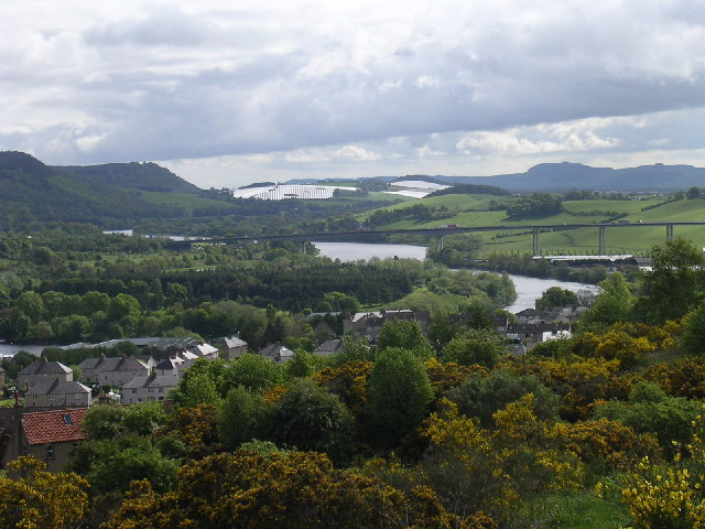
Braes of the Carse Images

Images are sourced within 2km of 56.462061/-3.2135282 or Grid Reference NO2530. Thanks to Geograph Open Source API. All images are credited.

Pile of snow at Scottish Antique and Art Centre, Abernyte
A Snowy Day in Abernyte
High Carse Road at Craigdallie The C401 (Perth and Kinross) High Carse Road heading west at Craigdallie.
High Carse Road at Craigdallie
The C401 (Perth and Kinross) High Carse Road heading west at Craigdallie.
Grass field near Ballindean Looking from the High Carse Road down on a grass field to the west of Ballindean.
Grass field near Ballindean
Looking from the High Carse Road down on a grass field to the west of Ballindean.
Ivy-clad house at Easter Ballindean Looking north from the High Carse Road to an ivy-clad frontage at Easter Ballindean.
Ivy-clad house at Easter Ballindean
Looking north from the High Carse Road to an ivy-clad frontage at Easter Ballindean.
Ballindean Estate Looking northwards from the High Carse Road to buildings and dwellings on the Ballindean Estate at the foot of the Braes of the Carse.
Ballindean Estate
Looking northwards from the High Carse Road to buildings and dwellings on the Ballindean Estate at the foot of the Braes of the Carse.
Farmland, Newton Round bales still out, later I saw soggy round bales being removed from a field at Redmyre.
Farmland, Newton
Round bales still out, later I saw soggy round bales being removed from a field at Redmyre.
The B953 near Abernyte
Abernyte Parish Church The church was built in 1736 to replace a pre 1400 building. It is believed that there may have been a Celtic church here much earlier.
The church at Abernyte is linked to Longforgan Parish Church, Inchture Church and Kinnaird Church.
Abernyte Parish Church
The church was built in 1736 to replace a pre 1400 building. It is believed that there may have been a Celtic church here much earlier. The church at Abernyte is linked to Longforgan Parish Church, Inchture Church and Kinnaird Church.
Track to Kirkton Farm near Abernyte
Road junction at Abernyte
Abernyte Parish Church Abernyte Parish Church viewed from Kirkton to the north-east.
Abernyte Parish Church
Abernyte Parish Church viewed from Kirkton to the north-east.
B953 to Abernyte The B953 road heading down the hill towards Abernyte.
B953 to Abernyte
The B953 road heading down the hill towards Abernyte.
Sheep dotted field Sheep and lambs in a field near Pitkindie.
Sheep dotted field
Sheep and lambs in a field near Pitkindie.
Carse of Gowrie towards Dundee Taken from the site if Pitmiddle village - abandoned in the 1930s.
Carse of Gowrie towards Dundee
Taken from the site if Pitmiddle village - abandoned in the 1930s.
Abernyte Village
Abernyte Village
Hills above Abernyte looking East
Craigdallie Village houses (and cars) on a dreich day
Craigdallie
Village houses (and cars) on a dreich day
Show me another place!

Braes of the Carse is located at Grid Ref: NO2530 (Lat: 56.462061, Lng: -3.2135282)

Unitary Authority: Perth and Kinross

Police Authority: Tayside

What 3 Words

///headsets.toffee.heap. Near Inchture, Perth & Kinross

Nearby Locations

Braes of the Carse

Related Wikis

Abernyte

Abernyte is a small village in Perth and Kinross in Scotland. == Geography == The village lies roughly 2 miles (3 kilometres) northwest of the former Inchture...

Kinnaird, Gowrie

Kinnaird (Scottish Gaelic: An Ceann Àrd, "high headland") is a village in Gowrie, Perthshire, Scotland. It is notable for its 15th-century castle. The...

Gowrie

Gowrie (Scottish Gaelic: Gobharaidh) is a region in central Scotland and one of the original provinces of the Kingdom of Alba. It covered the eastern part...

Inchture Village railway station

Inchture Village railway station was a railway station in the village of Inchture, Perthshire, Scotland. The Inchture Railway Bus service operated a service...

Nearby Amenities

Located within 500m of 56.462061,-3.2135282
Power: pole
Lat/Long: 56.4658456/-3.2097358
Power: pole
Lat/Long: 56.465821/-3.2110493
Power: pole
Lat/Long: 56.4658082/-3.2122463
Power: pole
Lat/Long: 56.4657824/-3.2132632
Power: pole
Lat/Long: 56.4657649/-3.2142992
Power: pole
Lat/Long: 56.4657497/-3.2153119
Power: pole
Lat/Long: 56.4657333/-3.2164284
Power: pole
Lat/Long: 56.4656127/-3.2176931
Power: pole
Lat/Long: 56.4643721/-3.2112294
Power: pole
Lat/Long: 56.4646425/-3.2114116
Power: pole
Lat/Long: 56.4647747/-3.2115048
Power: pole
Lat/Long: 56.4652721/-3.2118629
The data included in this document is from www.openstreetmap.org. The data is made available under ODbL.

Have you been to Braes of the Carse?

Leave your review of Braes of the Carse below (or comments, questions and feedback).