Bank House Moor

Downs, Moorland in Lancashire South Lakeland

England

Bank House Moor

Ordnance Survey Cut Mark This OS cut mark can be found on the roadside barn at Little Croft. It marks a point 76.828m above mean sea level.
Ordnance Survey Cut Mark Credit: Adrian Dust

Bank House Moor is a captivating moorland located in Lancashire, England. Nestled amidst the picturesque landscape of the county, this vast expanse of moorland encompasses a diverse range of natural features and offers a serene escape from the hustle and bustle of urban life.

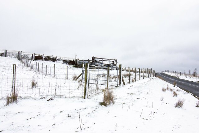
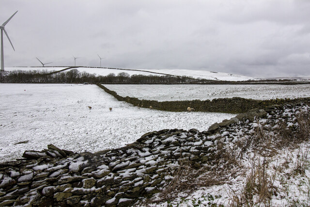
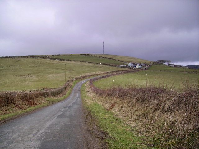
Situated in the heart of the Downs, Bank House Moor is known for its breathtaking vistas and tranquil atmosphere. The moorland is characterized by its undulating terrain, covered in heather and grasses that shift in color with the changing seasons. This creates a stunning tapestry of purples, yellows, and greens, which is a true feast for the eyes.

The moorland is home to a rich variety of wildlife, with numerous species of birds, mammals, and insects inhabiting the area. Visitors may catch a glimpse of the elusive red grouse, as well as other upland birds like curlews and lapwings. The moorland is also a habitat for rabbits, hares, and even roe deer.

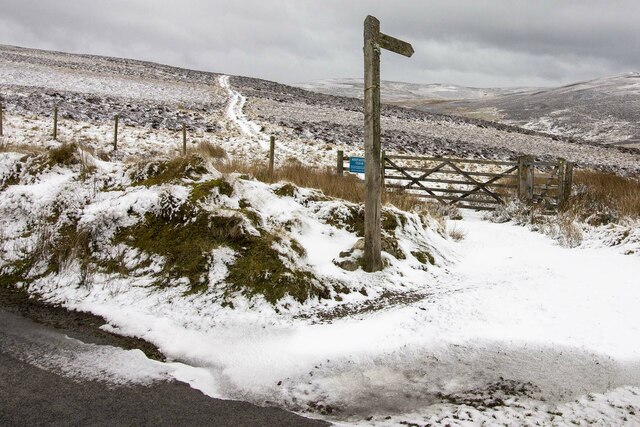
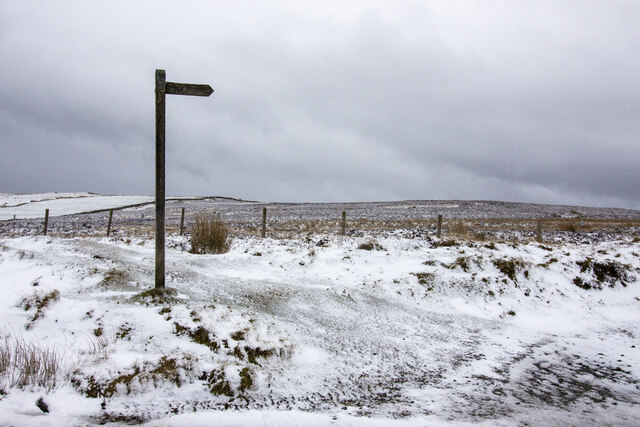
Bank House Moor offers excellent opportunities for outdoor activities such as hiking, birdwatching, and photography. There are well-marked trails and footpaths that wind their way through the moorland, allowing visitors to explore its beauty at their own pace. Photographers will find endless inspiration in the stunning vistas and the play of light across the landscape.

For those seeking a peaceful retreat in nature, Bank House Moor in Lancashire is a must-visit destination. Its unspoiled beauty and tranquil surroundings make it a true haven for nature lovers and outdoor enthusiasts alike.

If you have any feedback on the listing, please let us know in the comments section below.

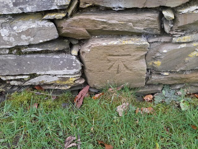
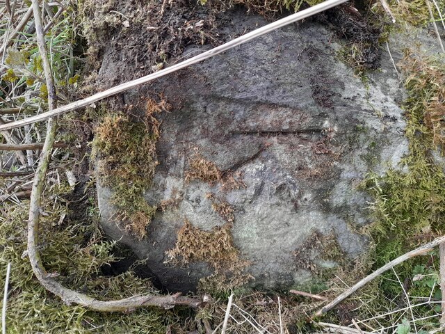
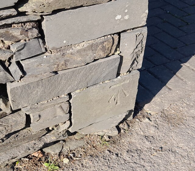
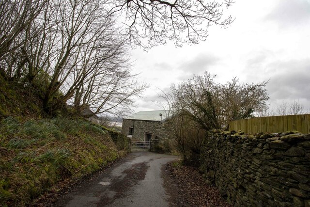
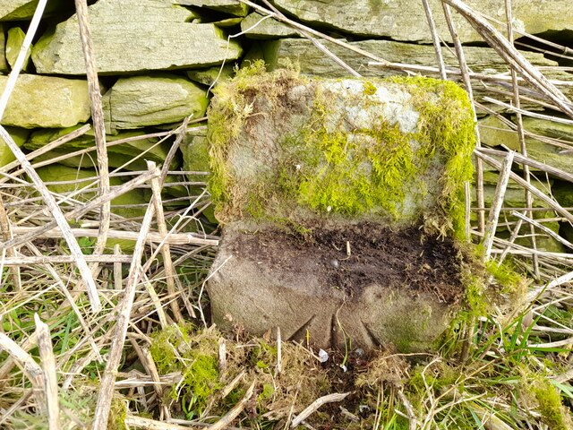
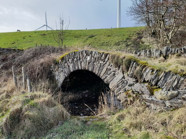
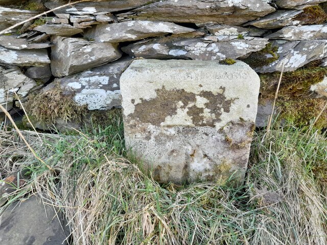
Bank House Moor Images

Images are sourced within 2km of 54.21161/-3.1665293 or Grid Reference SD2480. Thanks to Geograph Open Source API. All images are credited.

Ordnance Survey Cut Mark This OS cut mark can be found on the roadside barn at Little Croft. It marks a point 76.828m above mean sea level.
Ordnance Survey Cut Mark
This OS cut mark can be found on the roadside barn at Little Croft. It marks a point 76.828m above mean sea level.
Ordnance Survey Cut Mark This OS rivet can be found on the boulder SW side of the road. It marks a point 110.591m above mean sea level.
Ordnance Survey Cut Mark
This OS rivet can be found on the boulder SW side of the road. It marks a point 110.591m above mean sea level.
Ordnance Survey Cut Mark This OS cut mark can be found on the boundary stone south of the road. It marks a point 250.354m above mean sea level. <a title="https://www.geograph.org.uk/photo/7105569" href="https://www.geograph.org.uk/photo/7105569">Link</a>
Ordnance Survey Cut Mark
This OS cut mark can be found on the boundary stone south of the road. It marks a point 250.354m above mean sea level. Link
Boundary Stone There is an Ordnance Survey cut mark on the stone. <a title="https://www.geograph.org.uk/photo/7105567" href="https://www.geograph.org.uk/photo/7105567">Link</a>
Boundary Stone
There is an Ordnance Survey cut mark on the stone. Link
Ordnance Survey Cut Mark This OS cut mark can be found on the roadside barn at Harlock. It marks a point 211.640m above mean sea level.
Ordnance Survey Cut Mark
This OS cut mark can be found on the roadside barn at Harlock. It marks a point 211.640m above mean sea level.
Ordnance Survey Cut Mark This OS cut mark can be found on the NE parapet of Rathmoss Bridge. It marks a point 204.680m above mean sea level.
Ordnance Survey Cut Mark
This OS cut mark can be found on the NE parapet of Rathmoss Bridge. It marks a point 204.680m above mean sea level.
Ordnance Survey Rivet This OS rivet can be found on the wall 15m NE of the road. It marks a point 241.088m above mean sea level.
Ordnance Survey Rivet
This OS rivet can be found on the wall 15m NE of the road. It marks a point 241.088m above mean sea level.
Ordnance Survey Cut Mark This OS cut mark can be found on the boulder north side of the road. It marks a point 139.087m above mean sea level.
Ordnance Survey Cut Mark
This OS cut mark can be found on the boulder north side of the road. It marks a point 139.087m above mean sea level.
Ordnance Survey Cut Mark This OS cut mark can be found on the garden wall of the former Police Office west side of the road. It marks a point 18.246m above mean sea level.
Ordnance Survey Cut Mark
This OS cut mark can be found on the garden wall of the former Police Office west side of the road. It marks a point 18.246m above mean sea level.
Derelict railway carriage Derelict railway carriage near Bank House Moor
Derelict railway carriage
Derelict railway carriage near Bank House Moor
Gateway to moorland Footpath and gateway to moorland
Gateway to moorland
Footpath and gateway to moorland
Public footpath across moorland Public footpath signpost near Bank House Moor
Public footpath across moorland
Public footpath signpost near Bank House Moor
Bank House Farm Vernacular farm building at Bank House Farm
Bank House Farm
Vernacular farm building at Bank House Farm
Ordnance Survey Rivet This OS rivet can be found on the small concrete post east side of Pennington Road. It marks a point 208.322m above mean sea level.
Ordnance Survey Rivet
This OS rivet can be found on the small concrete post east side of Pennington Road. It marks a point 208.322m above mean sea level.
Devil's Bridge
Devil's Bridge
Ordnance Survey Cut Mark This OS cut mark can be found on the short stone post SE side of the road. It marks a point 243.122m above mean sea level.
Ordnance Survey Cut Mark
This OS cut mark can be found on the short stone post SE side of the road. It marks a point 243.122m above mean sea level.
Fields near Horrace
Fields near Horrace
Looking towards Rawlinsons Farm In the heart of Furness near Kirby which has been renamed 'Lake District Peninsulas' by some barmy bureaucrat a fortune has been spent on large brown road signs pointing the way to this new republic as you venture down the A590.
Looking towards Rawlinsons Farm
In the heart of Furness near Kirby which has been renamed 'Lake District Peninsulas' by some barmy bureaucrat a fortune has been spent on large brown road signs pointing the way to this new republic as you venture down the A590.
Show me another place!

Bank House Moor is located at Grid Ref: SD2480 (Lat: 54.21161, Lng: -3.1665293)

Administrative County: Cumbria

District: South Lakeland

Police Authority: Cumbria

What 3 Words

///creamed.revived.lessening. Near Askam in Furness, Cumbria

Nearby Locations

Mean Moor Bank House Moor

Related Wikis

Furness Hoard

The Furness Hoard is a hoard of Viking silver coins and other artefacts dating to the 9th and 10th Century that was discovered in Furness, Cumbria, England...

Kirkby-in-Furness

Kirkby-in-Furness, generally referred to simply as Kirkby locally, is a village that is the major part of the parish of Kirkby Ireleth in the Furness district...

Marton, Cumbria

Marton is a village on the Furness peninsula in the county of Cumbria, England. It shares a church, a parish council and primary school with the nearby...

Kirkby-in-Furness railway station

Kirkby-in-Furness is a railway station on the Cumbrian Coast Line, which runs between Carlisle and Barrow-in-Furness. The station, situated 9+1⁄4 miles...

Kirkby Ireleth

Kirkby Ireleth is a civil parish in the South Lakeland district of the English county of Cumbria. It includes the villages of Grizebeck and Kirkby-in...

Askam and Ireleth Wind Farm

Askam and Ireleth Wind Farm is a group of 7 turbines located two kilometers east of the village Askam and Ireleth, on the southern slopes of Hare Slack...

Osmotherley, Cumbria

Osmotherley is a civil parish in South Lakeland, Cumbria, England, extending north from Ulverston. The village of Broughton Beck is the largest settlement...

Angerton, South Lakeland

Angerton is a civil parish in the Westmorland and Furness district of the ceremonial county of Cumbria, England, historically part of the Furness portion...

Nearby Amenities

Located within 500m of 54.21161,-3.1665293
Ford: yes
Lat/Long: 54.2077898/-3.1645527
Generator Method: wind_turbine
Generator Output Electricity: yes
Generator Source: wind
Generator Type: horizontal_axis
Power: generator
Source: Esri;local_knowledgee
Lat/Long: 54.2111286/-3.1593105
Crossing
Lat/Long: 54.2091468/-3.1601839
The data included in this document is from www.openstreetmap.org. The data is made available under ODbL.

Have you been to Bank House Moor?

Leave your review of Bank House Moor below (or comments, questions and feedback).