Little Down

Downs, Moorland in Devon East Devon

England

Little Down

Upottery: towards Williambeer Farm Looking east across the Otter valley
Upottery: towards Williambeer Farm Credit: Martin Bodman

Little Down is a small village located in the county of Devon, England. Situated on the southern edge of Dartmoor National Park, it is surrounded by stunning natural landscapes, including rolling downs and picturesque moorland. The village is known for its tranquility and charm, making it a popular destination for nature enthusiasts and those seeking a peaceful retreat.

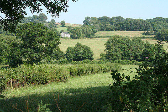
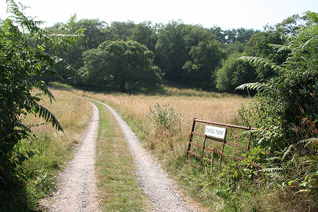
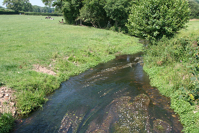
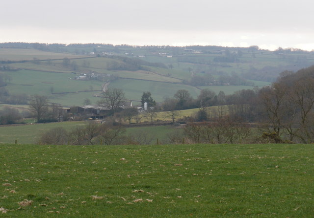
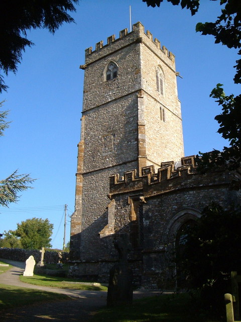
The Downs of Little Down offer breathtaking views of the surrounding countryside, with their gently sloping hills and lush greenery. The area is dotted with ancient stone circles and burial sites, adding to its historical significance. Visitors can enjoy leisurely walks or hikes along the numerous trails that crisscross the Downs, immersing themselves in the beauty of nature.

The village is also renowned for its moorland, which stretches out for miles in every direction. This rugged and wild landscape is characterized by its expansive heather-covered hills and deep valleys, creating a unique and dramatic environment. The moorland is home to a diverse range of flora and fauna, including rare species such as the Dartmoor pony and the cuckoo flower.

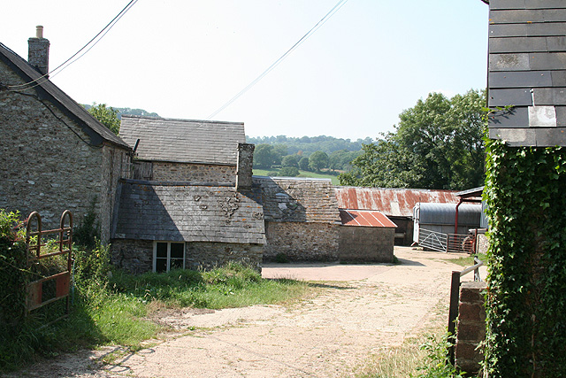
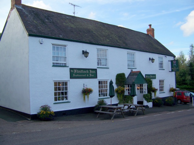
Little Down itself is a small, tight-knit community, with a population of around 500 residents. It boasts a local pub, a village hall, and a small number of shops. The village exudes a friendly and welcoming atmosphere, with locals known for their hospitality and community spirit.

In summary, Little Down is a charming village nestled amidst the Downs and Moorland of Devon. Its natural beauty, historical significance, and close-knit community make it a delightful destination for those seeking a tranquil and idyllic experience.

If you have any feedback on the listing, please let us know in the comments section below.
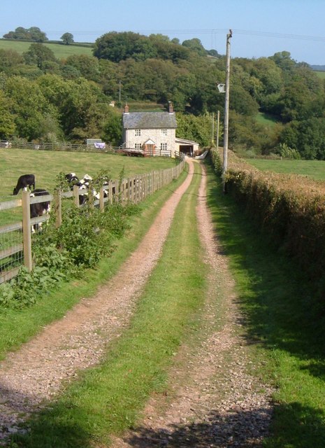
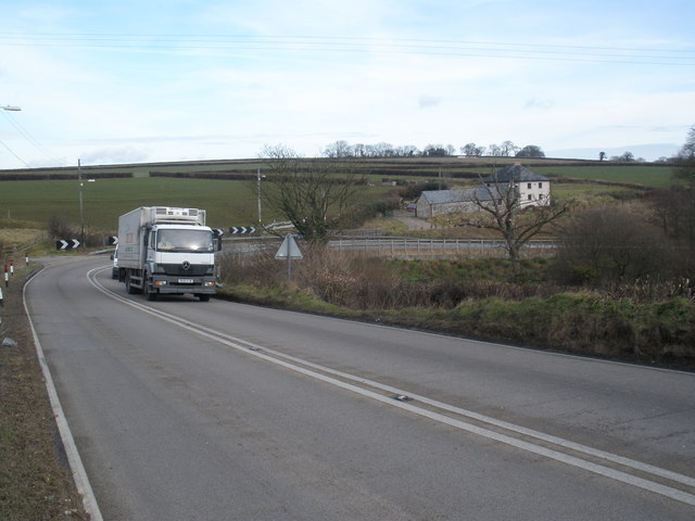
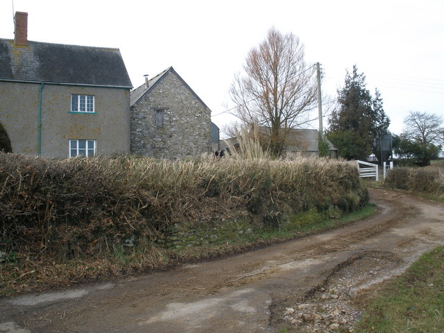
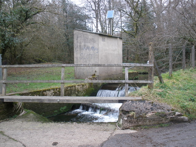
Little Down Images

Images are sourced within 2km of 50.889957/-3.0904328 or Grid Reference ST2310. Thanks to Geograph Open Source API. All images are credited.

Upottery: towards Williambeer Farm Looking east across the Otter valley
Upottery: towards Williambeer Farm
Looking east across the Otter valley
Upottery: entrance to Pamos Farm Looking west
Upottery: entrance to Pamos Farm
Looking west
Upottery: the river Otter Near Hoemoor Farm. Looking north
Upottery: the river Otter
Near Hoemoor Farm. Looking north
Yarcombe: Williambeer Farm Seen from the entrance with the farmhouse on the left. Looking west-north-west
Yarcombe: Williambeer Farm
Seen from the entrance with the farmhouse on the left. Looking west-north-west
Yarcombe: Stout Mill Looking south-south-west. There was a watermill here, amongst the farm buildings, powered by a leat tapping a tributary of the river Otter
Yarcombe: Stout Mill
Looking south-south-west. There was a watermill here, amongst the farm buildings, powered by a leat tapping a tributary of the river Otter
Yarcombe: copse by the lane to Fry’s Moor Overlooking the Otter valley; looking north west
Yarcombe: copse by the lane to Fry’s Moor
Overlooking the Otter valley; looking north west
Yarcombe: Clifthayne Farm The farm stands high up above the Yarty valley although just sheltered from the prevailing winds. Looking north east
Yarcombe: Clifthayne Farm
The farm stands high up above the Yarty valley although just sheltered from the prevailing winds. Looking north east
Yarcombe: triangulation pillar Looking south east. The spot height at the triangulation post is 258m
Yarcombe: triangulation pillar
Looking south east. The spot height at the triangulation post is 258m
Yarcombe: by Broadways Head Looking west near Brown Down
Yarcombe: by Broadways Head
Looking west near Brown Down
Yarcombe: towards Dennington Lane By Dennington Lane a side valley runs down to a confluence with the Otter below Stout Mill, where water from the stream once powered a waterwheel and machinery. Looking north-north-west from the B3170 Honiton to Corfe and Taunton road
Yarcombe: towards Dennington Lane
By Dennington Lane a side valley runs down to a confluence with the Otter below Stout Mill, where water from the stream once powered a waterwheel and machinery. Looking north-north-west from the B3170 Honiton to Corfe and Taunton road
Knightshayne Cottage and bend A sharp bend that will be recognised by motorists on the busy A303 across the Blackdown Hills, as the road descends into the Yarty valley at Marsh on its way out of Devon towards London. Given its noisy location, it is perhaps not surprising that the cottage has a rather neglected air.
Knightshayne Cottage and bend
A sharp bend that will be recognised by motorists on the busy A303 across the Blackdown Hills, as the road descends into the Yarty valley at Marsh on its way out of Devon towards London. Given its noisy location, it is perhaps not surprising that the cottage has a rather neglected air.
Towards Hoemoor Farm from Knapp Farm A large field stretches down to the River Otter, with Hoemoor Farm beyond on the far slopes of the valley. From the lane junction beside Knapp Farm.
Towards Hoemoor Farm from Knapp Farm
A large field stretches down to the River Otter, with Hoemoor Farm beyond on the far slopes of the valley. From the lane junction beside Knapp Farm.
Sandy's Cottage A cottage in the Knightshayne side valley of the Yarty valley, close to the A303, and seen from the lane between Buckshots Cross and Knightshayne Farm.
Sandy's Cottage
A cottage in the Knightshayne side valley of the Yarty valley, close to the A303, and seen from the lane between Buckshots Cross and Knightshayne Farm.
B3170 near the Drake Arms Gently curving past hedge backed by woodland.
B3170 near the Drake Arms
Gently curving past hedge backed by woodland.
The A303, near Knightshayne Farm
Knightshayne Farm
Knightshayne Farm
River Otter, flow monitor, near Fry's Moor
View towards Kingsleigh
Show me another place!

Little Down is located at Grid Ref: ST2310 (Lat: 50.889957, Lng: -3.0904328)

Administrative County: Devon

District: East Devon

Police Authority: Devon and Cornwall

What 3 Words

///backtrack.brave.succumbs. Near Chard, Somerset

Nearby Locations

Little Down Crow Moor

Related Wikis

Robin Hood's Butts

Robin Hood's Butts are a group of nine Bronze Age barrows near Otterford on the Blackdown Hills in Somerset, England. They have been scheduled as ancient...

Marsh, Devon

Marsh is a village in the Blackdown Hills, Devon, England. It is part of the East Devon district, and close to the River Yarty and border with Somerset...

Yarcombe

Yarcombe is a village and civil parish in the county of Devon, England, situated in the East Devon administrative district on the A30 road near the towns...

Bishopswood Meadows

Bishopswood Meadows is a nature reserve situated within the Blackdown Hills Area of Outstanding Natural Beauty in the county of Somerset, England. The...

Nearby Amenities

Located within 500m of 50.889957,-3.0904328
Generator Method: photovoltaic
Generator Output Electricity: yes
Generator Source: solar
Generator Type: solar_photovoltaic_panel
Location: roof
Power: generator
Source: Bing
Lat/Long: 50.8877494/-3.0946751
Generator Method: photovoltaic
Generator Output Electricity: yes
Generator Source: solar
Generator Type: solar_photovoltaic_panel
Location: roof
Power: generator
Source: Bing
Lat/Long: 50.8877629/-3.0946738
Power: pole
Source: bing
Lat/Long: 50.8918279/-3.0939844
Power: pole
Source: bing
Lat/Long: 50.891558/-3.0953081
Power: pole
Source: bing
Lat/Long: 50.891772/-3.0947059
Power: pole
Source: bing
Lat/Long: 50.8919742/-3.096436
Power: pole
Source: bing
Transformer: distribution
Lat/Long: 50.8913533/-3.0958298
Power: pole
Source: bing
Lat/Long: 50.8907425/-3.0952491
Power: pole
Source: bing
Lat/Long: 50.8899439/-3.0944645
Power: pole
Source: bing
Transformer: distribution
Lat/Long: 50.8877874/-3.0942486
Power: pole
Source: bing
Lat/Long: 50.8886529/-3.0943519
Power: pole
Source: bing
Lat/Long: 50.8895759/-3.0944538
Power: pole
Source: bing
Lat/Long: 50.8900107/-3.0934963
Power: pole
Source: bing
Transformer: distribution
Lat/Long: 50.8903703/-3.0919607
Power: pole
Source: bing
Lat/Long: 50.8891461/-3.0840455
Power: pole
Source: bing
Lat/Long: 50.8889346/-3.0853826
Power: pole
Source: bing
Lat/Long: 50.8887189/-3.0867197
Power: pole
Source: bing
Lat/Long: 50.8884862/-3.0881734
Power: pole
Source: bing
Lat/Long: 50.888103/-3.0894153
Power: pole
Source: bing
Lat/Long: 50.8877468/-3.090574
Power: pole
Source: bing
Lat/Long: 50.8873737/-3.0917528
Power: pole
Source: bing
Lat/Long: 50.8869736/-3.0925293
Power: pole
Source: bing
Lat/Long: 50.8870835/-3.0941977
Power: pole
Source: bing
Lat/Long: 50.8865429/-3.0933568
Power: pole
Source: bing
Lat/Long: 50.8859287/-3.092418
The data included in this document is from www.openstreetmap.org. The data is made available under ODbL.

Have you been to Little Down?

Leave your review of Little Down below (or comments, questions and feedback).