Brown Down
Downs, Moorland in Somerset Somerset West and Taunton
England
Brown Down
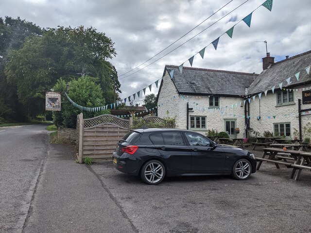
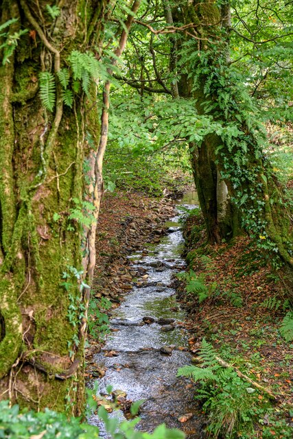
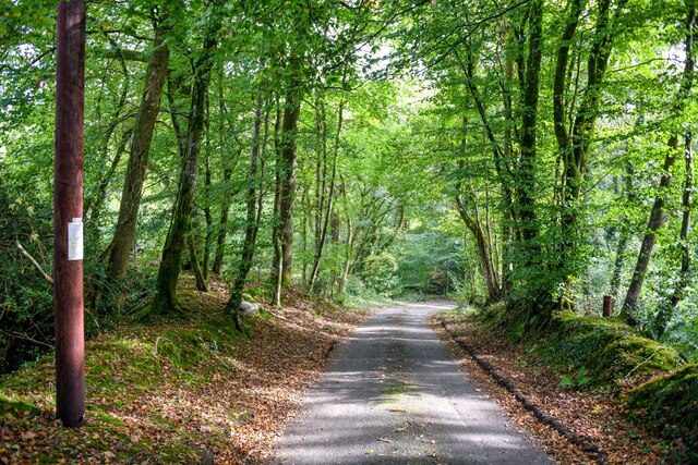
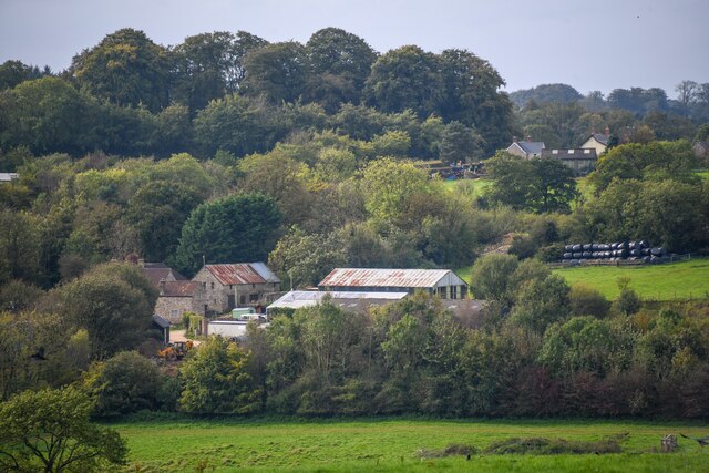
Brown Down is a prominent geographical feature located in Somerset, England. It forms part of the larger Mendip Hills range and is situated in the northern region of the county. The area is characterized by its diverse landscape, encompassing downs, moorland, and woodlands.
At an elevation of approximately 200 meters (656 feet), Brown Down offers breathtaking panoramic views of the surrounding countryside. The downs, with their gently sloping hills, are covered in lush grasses and dotted with vibrant wildflowers during the spring and summer months. This creates a picturesque scene that attracts outdoor enthusiasts and nature lovers alike.
The moorland section of Brown Down is notable for its heathland vegetation, including heather, gorse, and bracken. This unique ecosystem supports a variety of wildlife, including birds such as skylarks and stonechats. Rare species like adders and grass snakes can also be found in this area.
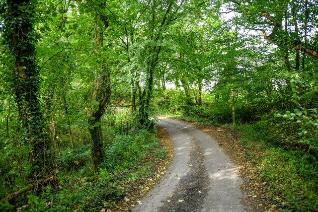
The woodlands on Brown Down consist primarily of native tree species, such as oak, beech, and ash. They provide a haven for numerous woodland creatures, including deer, foxes, and badgers. The dense canopy of trees creates a tranquil and shaded environment, making it a popular spot for walking and picnicking.
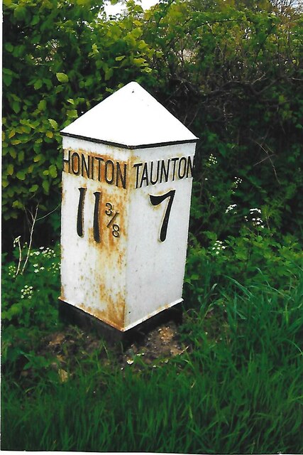
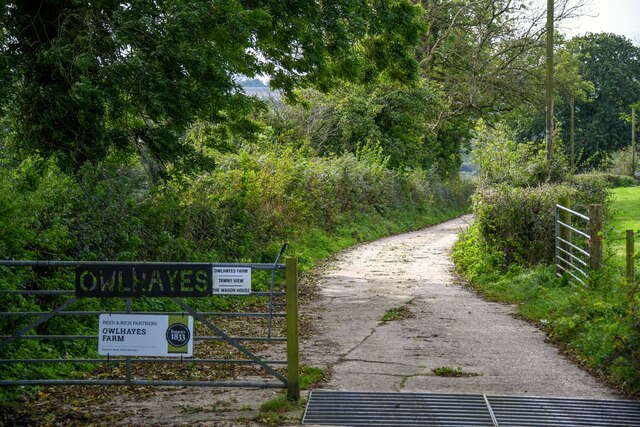
In addition to its natural beauty, Brown Down offers a network of footpaths and trails, making it a favored destination for hikers and mountain bikers. The area is easily accessible by road and has parking facilities nearby.
Overall, Brown Down in Somerset is a stunning location that offers a diverse range of landscapes, from rolling downs to picturesque woodlands and heathlands. It is a haven for wildlife and a popular destination for outdoor enthusiasts seeking to explore the natural beauty of the Mendip Hills.
If you have any feedback on the listing, please let us know in the comments section below.
Brown Down Images
Images are sourced within 2km of 50.922267/-3.0990844 or Grid Reference ST2214. Thanks to Geograph Open Source API. All images are credited.


Brown Down is located at Grid Ref: ST2214 (Lat: 50.922267, Lng: -3.0990844)
Administrative County: Somerset
District: Somerset West and Taunton
Police Authority: Avon and Somerset
What 3 Words
///patting.joystick.pickup. Near Hemyock, Devon
Nearby Locations
Related Wikis

Otterford
Otterford is a village and civil parish in Somerset, England. It is situated on the Blackdown Hills, 7 miles (11.3 km) south of Taunton. The village has...

Otterhead Lakes
Otterhead Lakes are a pair of reservoirs in the Blackdown Hills Area of Outstanding Natural Beauty south of Otterford in Somerset, England. They are fed...

Church of St Leonard, Otterford
The Anglican Church of St Leonard in Otterford, Somerset, England was built in the 14th century. It is a Grade II* listed building. == History == The church...

Deadman SSSI, Somerset
Deadman (grid reference ST234156) is a 28.8 hectare (71.2 acre) biological Site of Special Scientific Interest on the edge of the Blackdown Hills, near...

Robin Hood's Butts
Robin Hood's Butts are a group of nine Bronze Age barrows near Otterford on the Blackdown Hills in Somerset, England. They have been scheduled as ancient...

RAF Culmhead
Royal Air Force Culmhead or more simply RAF Culmhead is a former Royal Air Force station, situated at Churchstanton on the Blackdown Hills in Somerset...

Staple Hill (Somerset)
Staple Hill is a hill in the English county of Somerset, the highest point in the Blackdown Hills. It is classed as both a Marilyn and a Hardy.This is...
Bishopswood Meadows
Bishopswood Meadows is a nature reserve situated within the Blackdown Hills Area of Outstanding Natural Beauty in the county of Somerset, England. The...
Nearby Amenities
Located within 500m of 50.922267,-3.0990844Have you been to Brown Down?
Leave your review of Brown Down below (or comments, questions and feedback).