Black Moss

Downs, Moorland in Lancashire South Lakeland

England

Black Moss

A595 at Galloper Pool Bridge
A595 at Galloper Pool Bridge Credit: Colin Pyle

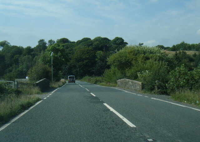
Black Moss is a region located in the county of Lancashire, England. It is characterized by its diverse landscape, encompassing downs and moorland. The area is renowned for its natural beauty and offers visitors a unique experience of the English countryside.

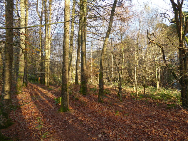
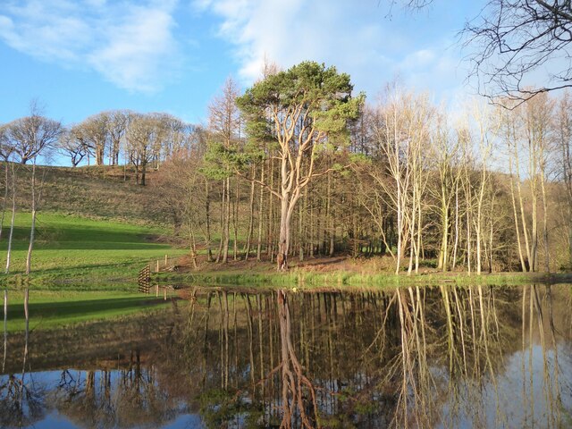
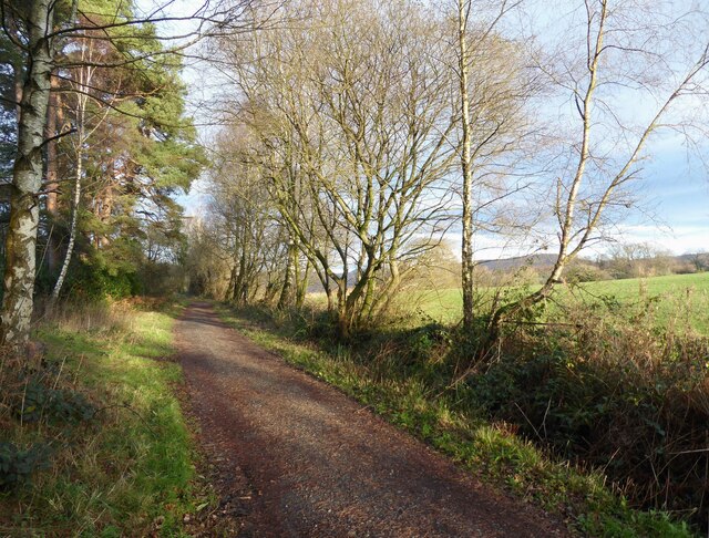
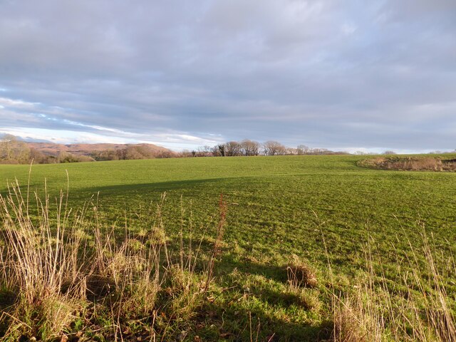
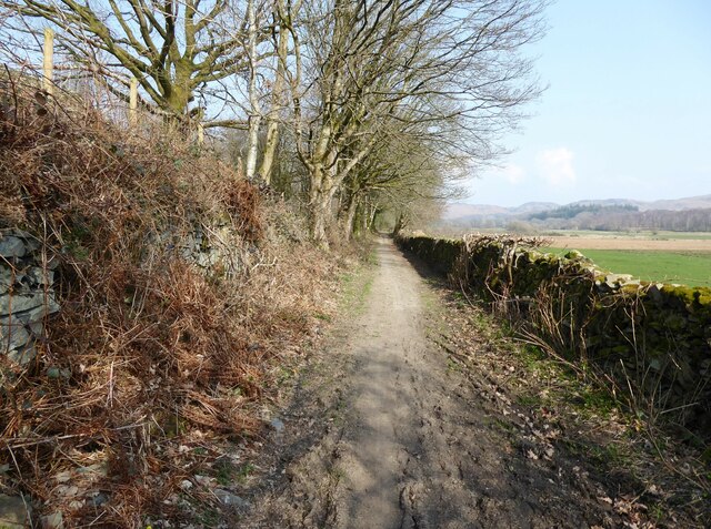
The downs in Black Moss are characterized by their gently rolling hills, covered in lush grasses and scattered with vibrant wildflowers. These downs provide a picturesque backdrop for leisurely walks and are a haven for nature enthusiasts. The moorland, on the other hand, offers a more rugged and wild terrain. Here, visitors can explore vast expanses of heather-covered hillsides, interspersed with rocky outcrops and winding streams.

The flora and fauna of Black Moss are incredibly diverse. The downs are home to a variety of plant species, including orchids, primroses, and cowslips. Meanwhile, the moorland boasts an abundance of heather, bilberries, and cotton grass. Birdwatchers can spot a range of species, such as curlews, lapwings, and red grouse.

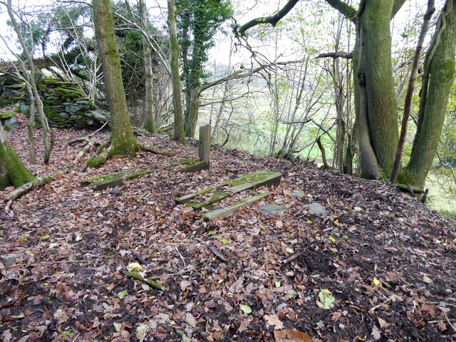
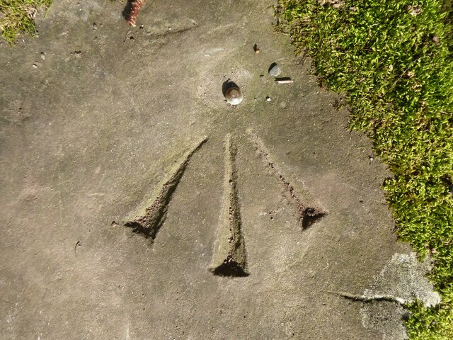
In addition to its natural beauty, Black Moss also has a rich historical heritage. The area is dotted with ancient landmarks, including burial mounds, stone circles, and remnants of Bronze Age settlements. These sites offer a glimpse into the region's past and provide an opportunity for visitors to connect with the area's history.

Overall, Black Moss, Lancashire, with its downs and moorland, is a captivating destination for nature lovers and history enthusiasts alike. Its scenic beauty and cultural significance make it a must-visit location for those seeking an authentic English countryside experience.

If you have any feedback on the listing, please let us know in the comments section below.
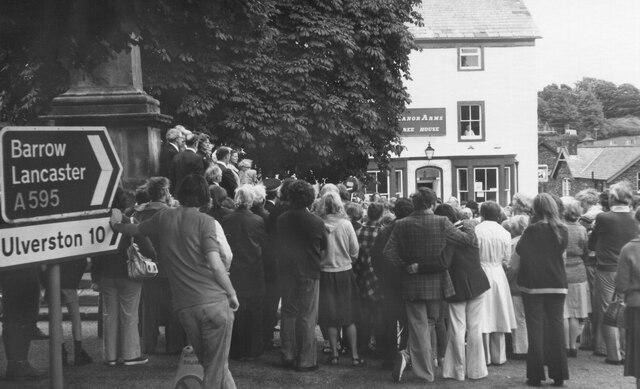
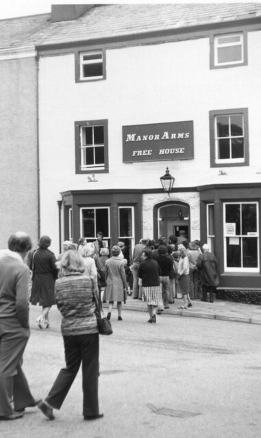
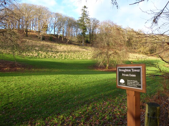
Black Moss Images

Images are sourced within 2km of 54.284397/-3.1882938 or Grid Reference SD2288. Thanks to Geograph Open Source API. All images are credited.

A595 at Galloper Pool Bridge
Remains of wooden ballast bin Only a few rotten pieces of wood remain from this ballast bin beside the former Furness Railway Coniston Branch near Moss Side.  Built from old wooden railway sleepers it is difficult to place an age on this ballast bin, but it is possible it pre-dates the formation of the London Midland and Scottish Railway in 1923 who later introduced concrete bins (see photograph <a href="https://www.geograph.org.uk/photo/6797992">NY2924 : LMS Standard Concrete Ballast Bin</a>).
Positioned approximately every mile, more frequently on curved track, ballast bins were used to store small stone chippings which were used by the railway Lengthsmen to pack and adjust the railway sleepers. Using only a jack and a shovel, an experienced Lengthsman could judge exactly the right quantity of chippings to use to obtain a perfect ‘top’ to the rail and they often took great pride in the quality of their work.
The Coniston Branch closed to passengers in October 1958 and to all traffic with effect from the 30 April 1962 although the last train had run during the preceding week.  The track bed in front of the ballast bin is deep in mud and trampled by cows.
Remains of wooden ballast bin
Only a few rotten pieces of wood remain from this ballast bin beside the former Furness Railway Coniston Branch near Moss Side. Built from old wooden railway sleepers it is difficult to place an age on this ballast bin, but it is possible it pre-dates the formation of the London Midland and Scottish Railway in 1923 who later introduced concrete bins (see photograph NY2924 : LMS Standard Concrete Ballast Bin). Positioned approximately every mile, more frequently on curved track, ballast bins were used to store small stone chippings which were used by the railway Lengthsmen to pack and adjust the railway sleepers. Using only a jack and a shovel, an experienced Lengthsman could judge exactly the right quantity of chippings to use to obtain a perfect ‘top’ to the rail and they often took great pride in the quality of their work. The Coniston Branch closed to passengers in October 1958 and to all traffic with effect from the 30 April 1962 although the last train had run during the preceding week. The track bed in front of the ballast bin is deep in mud and trampled by cows.
Woodland in East Park This woodland is in the grounds of the Broughton Tower Estate.
An ornamental lake can be glimpsed through the trees in the right background.
Woodland in East Park
This woodland is in the grounds of the Broughton Tower Estate. An ornamental lake can be glimpsed through the trees in the right background.
Ornamental lake, East Park This is the southernmost of two ornamental lakes in the East Park of the Broughton Tower Estate.  Although on private land the public has access from the public bridleway on the track bed of the former railway from Foxfield to Coniston which is adjacent.  There is also a public footpath crossing the narrow isthmus between the two lakes.
Ornamental lake, East Park
This is the southernmost of two ornamental lakes in the East Park of the Broughton Tower Estate. Although on private land the public has access from the public bridleway on the track bed of the former railway from Foxfield to Coniston which is adjacent. There is also a public footpath crossing the narrow isthmus between the two lakes.
Reading the charter, Broughton in Furness 1976 The granting of a royal charter to hold a fair in Broughton is commemorated annually on 1st August in the village square. In 1976 I assume that the ceremony was held on the 2nd August as the 1st fell on a Sunday.
Reading the charter, Broughton in Furness 1976
The granting of a royal charter to hold a fair in Broughton is commemorated annually on 1st August in the village square. In 1976 I assume that the ceremony was held on the 2nd August as the 1st fell on a Sunday.
Reading the charter, Broughton in Furness 1976 (2) The granting of a royal charter to hold a fair in Broughton is commemorated annually on 1st August in the village square. In 1976 I assume that the ceremony was held on the 2nd August as the 1st fell on a Sunday.
Reading the charter, Broughton in Furness 1976 (2)
The granting of a royal charter to hold a fair in Broughton is commemorated annually on 1st August in the village square. In 1976 I assume that the ceremony was held on the 2nd August as the 1st fell on a Sunday.
Reading the charter, Broughton in Furness 1976 (3) The granting of a royal charter to hold a fair in Broughton is commemorated annually on 1st August in the village square. In 1976 I assume that the ceremony was held on the 2nd August as the 1st fell on a Sunday.

After the reading, there was a general movement to the Manor Arms to claim the traditional free pint!
Reading the charter, Broughton in Furness 1976 (3)
The granting of a royal charter to hold a fair in Broughton is commemorated annually on 1st August in the village square. In 1976 I assume that the ceremony was held on the 2nd August as the 1st fell on a Sunday. After the reading, there was a general movement to the Manor Arms to claim the traditional free pint!
The Coniston Branch near Wall End Now only used by walkers and cyclists, this is the route of the former Furness Railway branch line from Foxfield to Coniston.
The last passenger service ran on 4 October 1958 with a final enthusiats’ special train on the 27 August 1961. The last freight train ran during the week ending 29 April 1962 and the track was lifted early in 1963.
The Coniston Branch near Wall End
Now only used by walkers and cyclists, this is the route of the former Furness Railway branch line from Foxfield to Coniston. The last passenger service ran on 4 October 1958 with a final enthusiats’ special train on the 27 August 1961. The last freight train ran during the week ending 29 April 1962 and the track was lifted early in 1963.
Broughton Tower Estate
Field near Wall End The broken ground to the right of the photograph is described on old Ordnance Survey maps as a marl pit.
The fell in the background, left of centre, is Great Burney, 298m (979ft).
Field near Wall End
The broken ground to the right of the photograph is described on old Ordnance Survey maps as a marl pit. The fell in the background, left of centre, is Great Burney, 298m (979ft).
Ordnance Survey Cut Mark This OS cut mark can be found on the north parapet of Galloper Pool Bridge. It marks a point 6.352m above mean sea level.
Ordnance Survey Cut Mark
This OS cut mark can be found on the north parapet of Galloper Pool Bridge. It marks a point 6.352m above mean sea level.
Ordnance Survey Rivet This OS rivet can be found on the stile SE side of the road. It marks a point 15.027m above mean sea level.
Ordnance Survey Rivet
This OS rivet can be found on the stile SE side of the road. It marks a point 15.027m above mean sea level.
Ordnance Survey Rivet This OS rivet can be found on the wall east side of the road. It marks a point 9.422m above mean sea level.
Ordnance Survey Rivet
This OS rivet can be found on the wall east side of the road. It marks a point 9.422m above mean sea level.
Public toilets, Broughton-in-Furness The public toilets on Knott Lane in Broughton-in-Furness.
Public toilets, Broughton-in-Furness
The public toilets on Knott Lane in Broughton-in-Furness.
Kirkby Pool
Kirkby Pool
Lane near Brookside The lane is a public footpath leading to Buttstead Wood.
Lane near Brookside
The lane is a public footpath leading to Buttstead Wood.
Stile beside Buttstead Wood The public footpath from The Hill to Woodland crosses this stile adjacent to Buttstead Wood.
There is an Ordnance Survey rivet benchmark with cut mark on the bottom stone step of the stile (detail photograph <a href="https://www.geograph.org.uk/photo/7259390">SD2389 : Benchmark, Buttstead Wood</a>).
Stile beside Buttstead Wood
The public footpath from The Hill to Woodland crosses this stile adjacent to Buttstead Wood. There is an Ordnance Survey rivet benchmark with cut mark on the bottom stone step of the stile (detail photograph SD2389 : Benchmark, Buttstead Wood).
Benchmark, Buttstead Wood Detail of the Ordnance Survey rivet benchmark with cut mark on the horizontal bottom step of a public footpath stile adjacent to Buttstead Wood.  The benchmark marks a height of 8.6076m above mean sea level (Ordnance Datum Newlyn) last verified in 1954 (location photograph <a href="https://www.geograph.org.uk/photo/7259381">SD2389 : Stile beside Buttstead Wood</a>).
Benchmark, Buttstead Wood
Detail of the Ordnance Survey rivet benchmark with cut mark on the horizontal bottom step of a public footpath stile adjacent to Buttstead Wood. The benchmark marks a height of 8.6076m above mean sea level (Ordnance Datum Newlyn) last verified in 1954 (location photograph SD2389 : Stile beside Buttstead Wood).
Show me another place!

Black Moss is located at Grid Ref: SD2288 (Lat: 54.284397, Lng: -3.1882938)

Administrative County: Cumbria

District: South Lakeland

Police Authority: Cumbria

What 3 Words

///towels.rationing.sediment. Near Millom, Cumbria

Nearby Locations

Kirkby Ireleth Black Moss

Related Wikis

Broughton West

Broughton West is a civil parish in the Westmorland and Furness district of Cumbria, England. In the 2001 census the parish had a population of 954, decreasing...

Broughton-in-Furness railway station

Broughton-in-Furness railway station served the market town of Broughton-in-Furness, in Lancashire, England (now in Cumbria). It was on the branch line...

Broughton-in-Furness

Broughton in Furness is a market town in the civil parish of Broughton West in the Westmorland and Furness district of Cumbria, England. It had a population...

Broughton Mills

Broughton Mills is a village in Cumbria, England, located 3.5 kilometres from the larger town of Broughton-in-furness. The village consists of about 40...

Related Videos

The glorious western Lake District from above on a perfect evening.

Shot on Insta360 Sphere strapped to a DJI Air2 s The zoom towards the end is towards Scafell Pike, Englands highest hill.

The Old School House Caravans | Broughton in Furness | Caravan and Motorhome Club Certified Location

A lovely CL on the edge of the English Lake District, where you'll only ever find max 4 units at a time. With plenty of walking ...

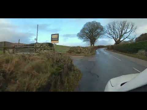
The Old School House CL - Directions

The last couple of miles getting to a site can sometimes be the most stressful bit of the journey. Here's a guide on how to find us ...

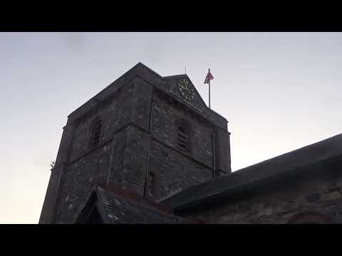
Bell Ringing at ST Mary The Magdalene Parish Church Broughton In Furness Friday 9TH June 2023

Join this channel to get access to Amazing perks Emogis Badges Videos and more: ...

Nearby Amenities

Located within 500m of 54.284397,-3.1882938
Power: pole
Lat/Long: 54.2871281/-3.192354
Power: pole
Lat/Long: 54.2862/-3.192768
Power: pole
Lat/Long: 54.2852607/-3.1931706
Power: pole
Lat/Long: 54.2841173/-3.1936619
Power: pole
Lat/Long: 54.2830547/-3.1941403
Power: pole
Lat/Long: 54.2820288/-3.1945801
The data included in this document is from www.openstreetmap.org. The data is made available under ODbL.

Have you been to Black Moss?

Leave your review of Black Moss below (or comments, questions and feedback).