South Down Common
Downs, Moorland in Devon East Devon
England
South Down Common
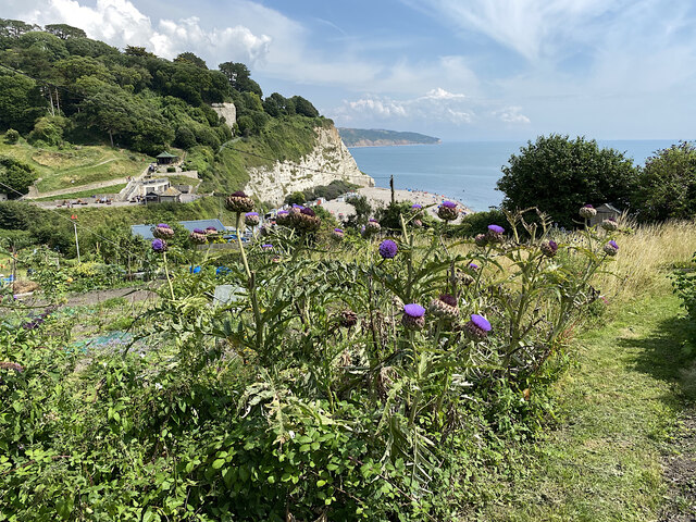
South Down Common is a picturesque area located in the county of Devon, England. It is situated within the stunning landscape of the Downs and Moorland. Covering an expansive area, South Down Common is known for its diverse flora and fauna, making it a haven for nature enthusiasts and wildlife lovers.
The common is characterized by rolling hills, with lush green grasslands stretching as far as the eye can see. It is home to a wide range of plant species including heathers, gorse, and bracken, which carpet the landscape in vibrant colors throughout the year. These plants provide a rich habitat for numerous animal species, including rabbits, foxes, and various bird species.
The common also boasts a network of walking trails, allowing visitors to explore its natural beauty at their own pace. These trails provide breathtaking views of the surrounding countryside, making it a popular spot for hikers and walkers alike. Additionally, the area is equipped with picnic areas, making it an ideal location for families to enjoy a day out in nature.
South Down Common is not only a haven for wildlife but also holds historical significance. It is home to several ancient archaeological sites, including burial mounds and stone circles, which offer a glimpse into the area's past.
With its stunning landscapes, diverse wildlife, and rich history, South Down Common in Devon is a must-visit destination for anyone seeking to connect with nature and explore the beauty of the English countryside.
If you have any feedback on the listing, please let us know in the comments section below.
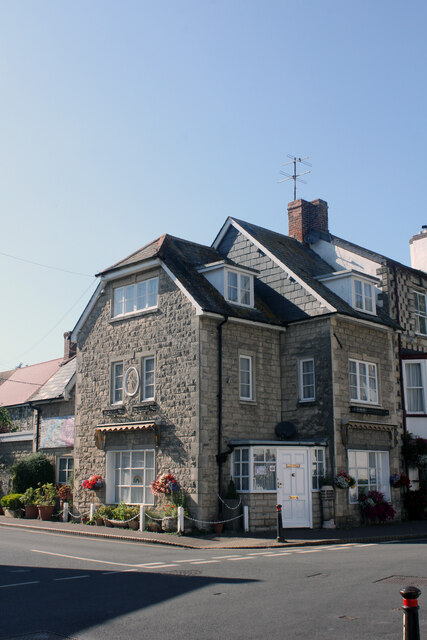
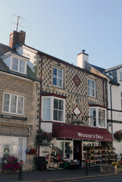
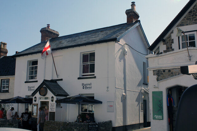
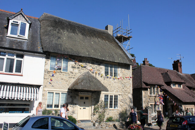
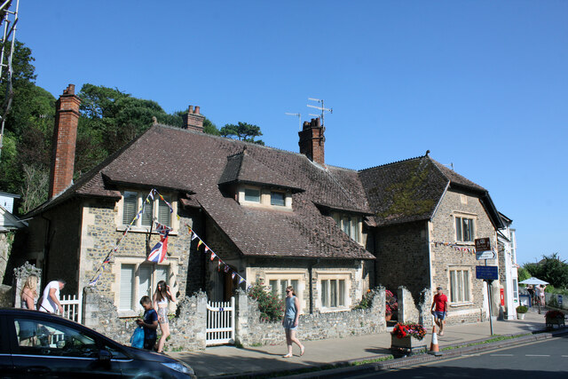
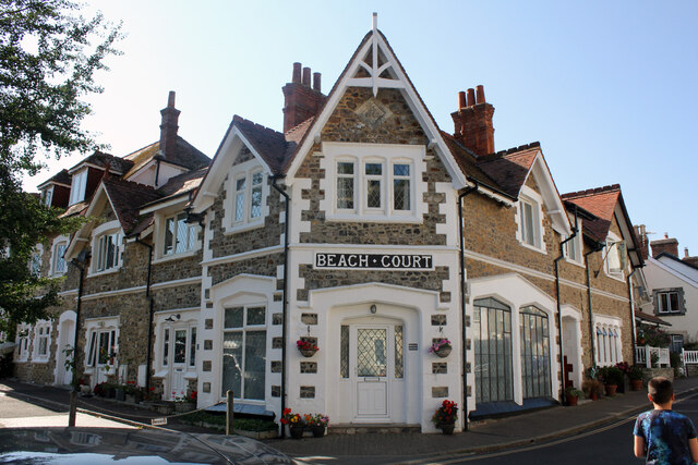
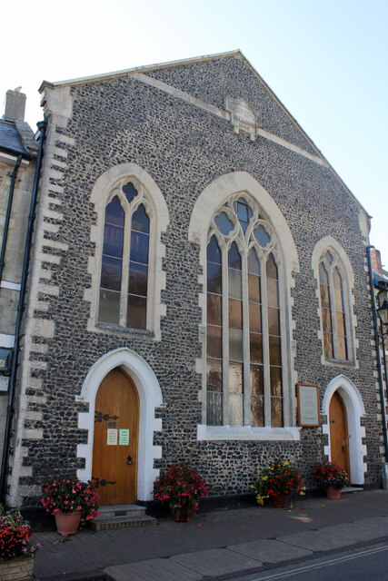
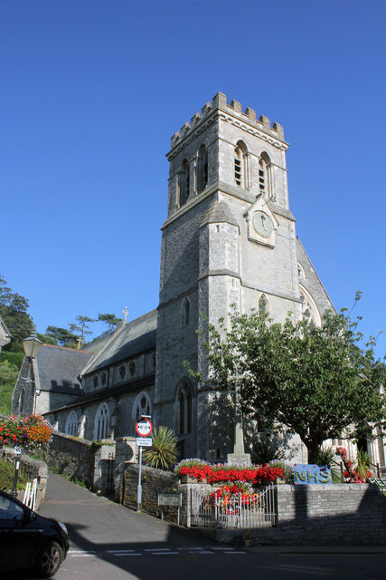
South Down Common Images
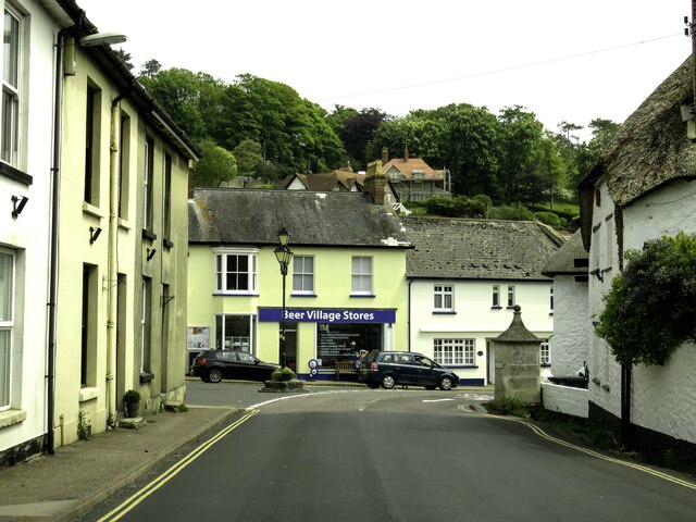
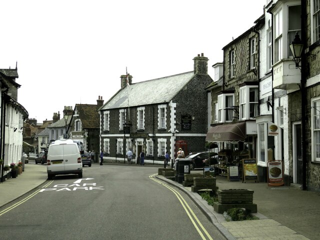
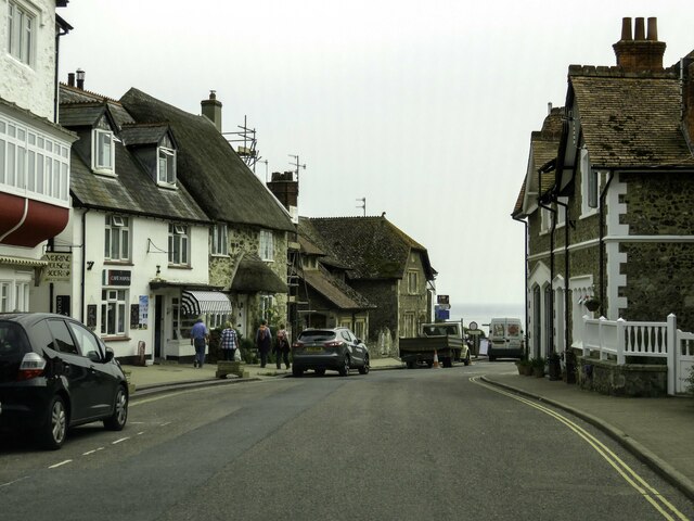
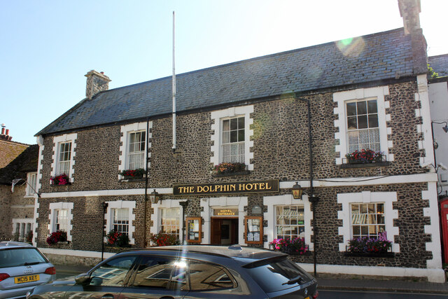
Images are sourced within 2km of 50.689326/-3.108439 or Grid Reference SY2188. Thanks to Geograph Open Source API. All images are credited.


South Down Common is located at Grid Ref: SY2188 (Lat: 50.689326, Lng: -3.108439)
Administrative County: Devon
District: East Devon
Police Authority: Devon and Cornwall
What 3 Words
///ballparks.parting.lift. Near Colyton, Devon
Related Wikis
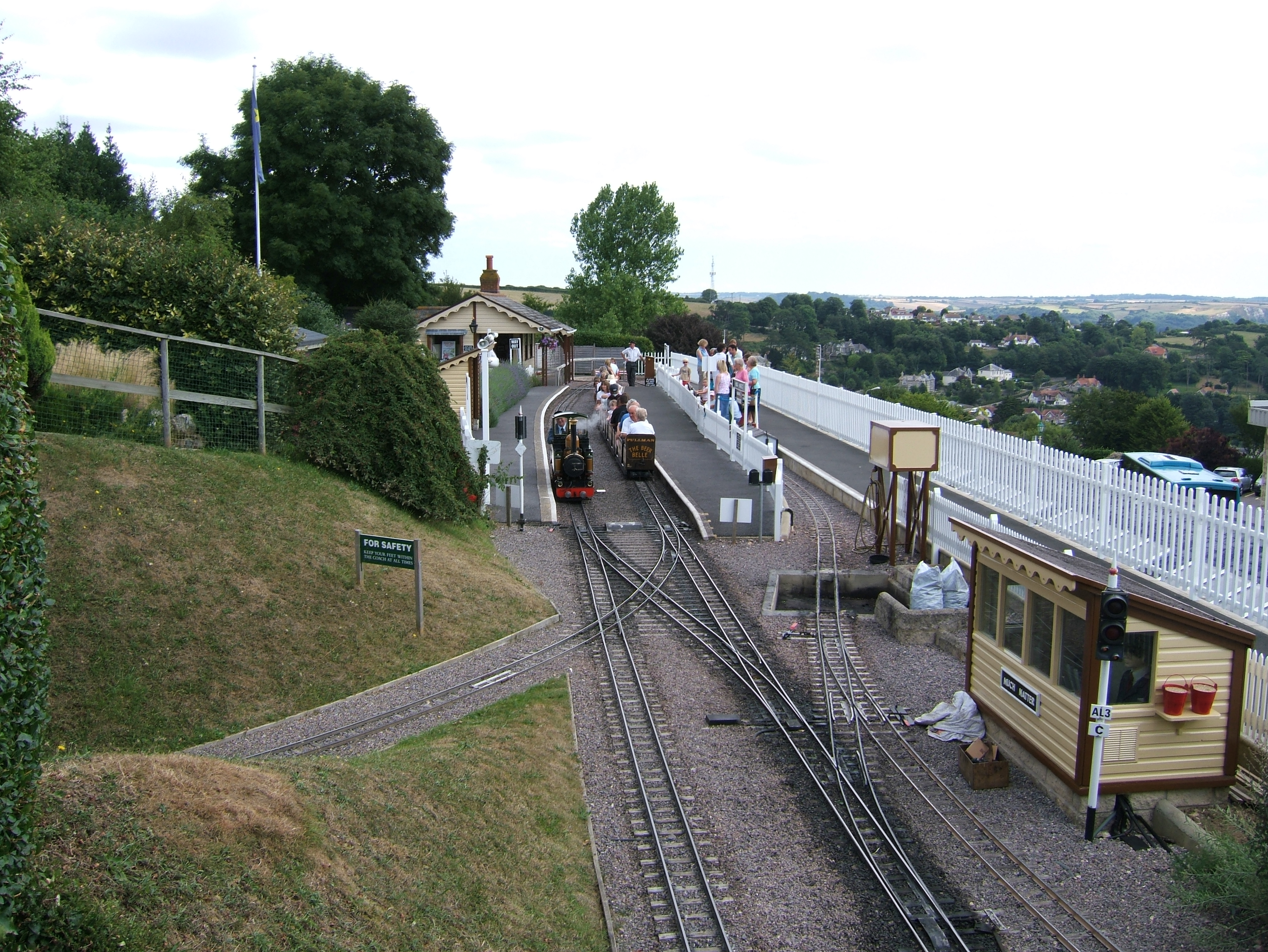
Beer Heights Light Railway
The Beer Heights Light Railway operates 1 mile (1.6 km) of minimum gauge 7+1⁄4 in (184 mm) track at Beer, Devon, England. It is part of Pecorama, an exhibition...

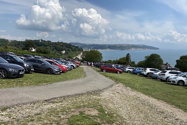
Pecorama
Pecorama (or Pecorama Pleasure Gardens) is a tourist attraction on the hillside above the village of Beer, Devon, in southwest England, that includes a...

Beer Quarry Caves
Beer Quarry Caves is a man-made limestone underground complex located about a mile west of the village of Beer, Devon, and the main source in England for...
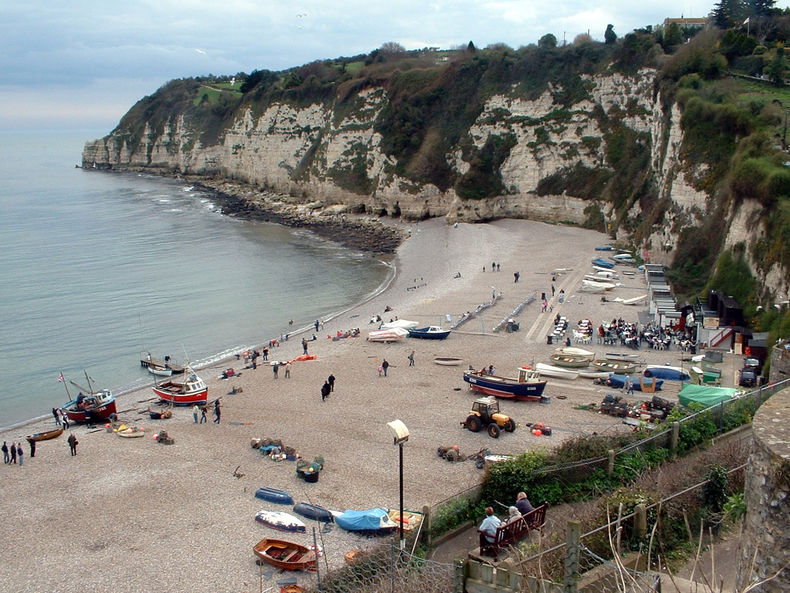
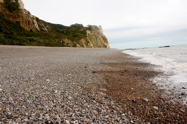
Beer, Devon
Beer is a seaside village and civil parish in the East Devon district of Devon, England. The village faces Lyme Bay and is a little over 1 mile (1.6 km...
Nearby Amenities
Located within 500m of 50.689326,-3.108439Have you been to South Down Common?
Leave your review of South Down Common below (or comments, questions and feedback).