Mynydd y Lan

Downs, Moorland in Monmouthshire

Wales

Mynydd y Lan

Brynawel across the Sirhowy Valley
Brynawel across the Sirhowy Valley Credit: Alan Hughes

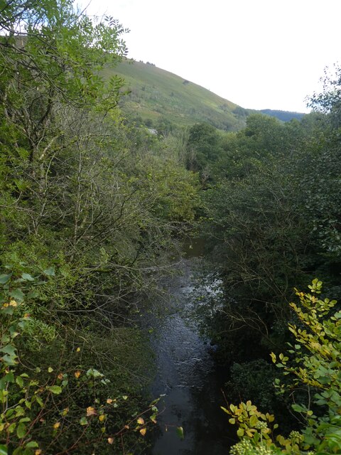
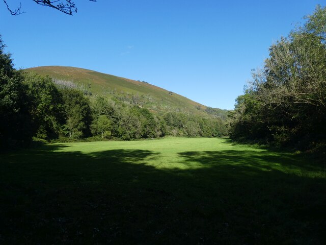
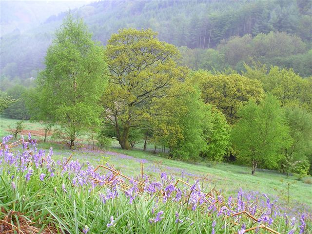
Mynydd y Lan is a picturesque area located in Monmouthshire, Wales. It is known for its stunning views and diverse natural landscapes, encompassing both downs and moorland. With an elevation of approximately 400 meters, it offers visitors and locals alike a unique opportunity to immerse themselves in the beauty of the Welsh countryside.

The downs of Mynydd y Lan are characterized by their gently rolling hills and open grasslands. These provide a perfect setting for leisurely walks, offering panoramic vistas of the surrounding countryside. The downs are home to a variety of flora and fauna, with wildflowers, grasses, and small mammals commonly found in the area.

In contrast, the moorland of Mynydd y Lan presents a more rugged and wild terrain. Dotted with heather and gorse, it offers a completely different experience for nature enthusiasts. The moorland is also home to various bird species, including the iconic red grouse, making it a popular spot for birdwatching.

Mynydd y Lan has a rich history, with evidence of human activity dating back to the Bronze Age. Ruins of ancient settlements and burial mounds can still be found in the area, adding an element of historical intrigue to the natural beauty. It is also a designated Area of Outstanding Natural Beauty, ensuring its preservation for future generations.

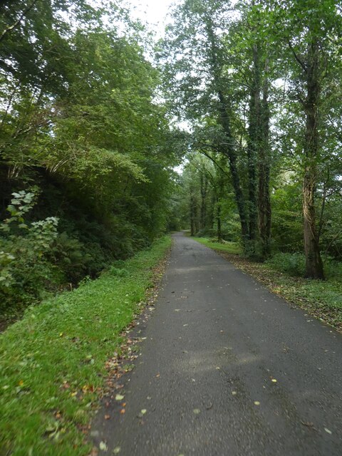
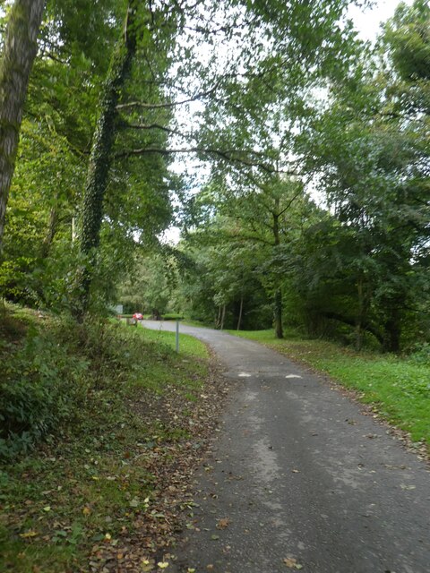
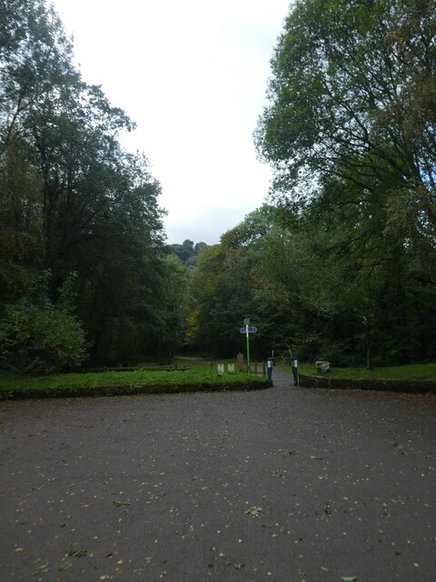
Whether exploring the downs or venturing into the moorland, Mynydd y Lan offers a serene and captivating experience for all those who visit. Its untouched landscapes and tranquil atmosphere make it a must-visit destination for nature lovers and anyone seeking a peaceful escape in the heart of Monmouthshire.

If you have any feedback on the listing, please let us know in the comments section below.
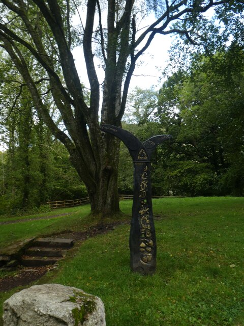
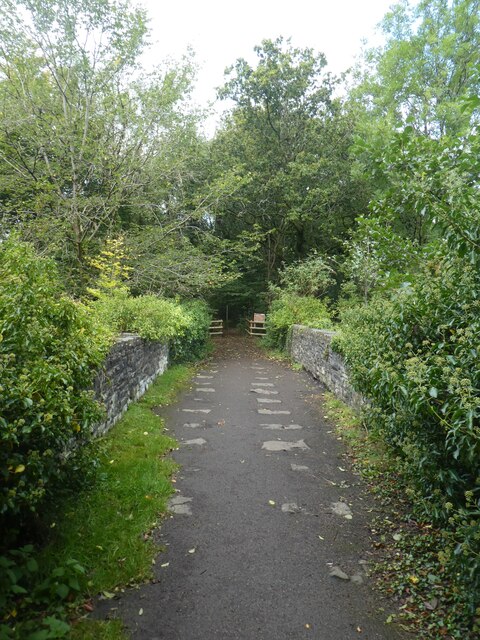
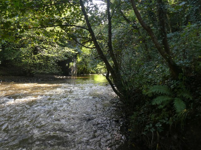
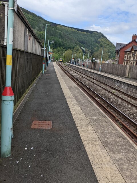
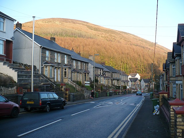
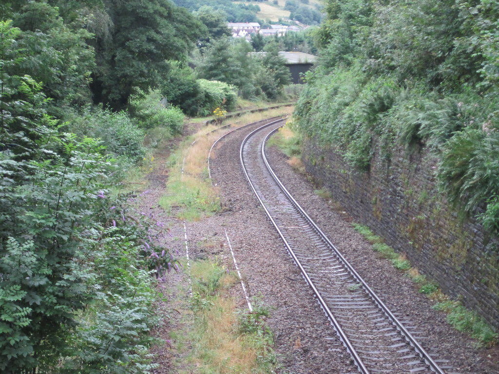
Mynydd y Lan Images

Images are sourced within 2km of 51.629367/-3.1497271 or Grid Reference ST2092. Thanks to Geograph Open Source API. All images are credited.

Brynawel across the Sirhowy Valley
Renewing the lining of Monmouthshire and Brecon Canal The Monmouthshire and Brecon Canal (popularly referred to as the Mon & Brec) was originally two separate canals: the Brecknock & Abergavenny Canal, and the Monmouthshire Canal. The 35-mile navigable section seen today is mostly the former. Following discussions in the 1790s, it was decided to link the two canals at Pontymoile. The Monmouthshire Canal, including a branch from Malpas to Crumlin, was opened in 1799 with the Brecknock & Abergavenny extending from Brecon to Gilwern by 1800, finally reaching Pontymoile by 1812.

Though originally constructed to transport coal, lime and agricultural products the canal was used extensively by ironmasters and industrialists as their main transport network, bringing the raw iron ore up the canal from Newport to Llanfoist Wharf and thence by tramroads to the iron works and returning with trams loaded with iron, the finished product. 

In 1880 the Monmouthshire & Brecon Canals were taken over by the Great Western Railway. Within 35 years, commercial carrying had all but ceased. Throughout the 20th century various parts of the Monmouthshire Canal were filled in for road construction. Both canals were abandoned by the early 1960s but restoration work from Brecon to Pontymoile began in 1968 following vigorous campaigning by canal enthusiasts. Recent developments have included a complete regeneration of the terminus at Brecon, and various works continue to reclaim the navigation between Pontymoile and Newport. The Blaenavon area and a section of the canal were granted World Heritage status in 2000 in recognition of its historical significance. 
<span class="nowrap"><a title="https://canalrivertrust.org.uk/enjoy-the-waterways/canal-and-river-network/monmouthshire-and-brecon-canal" rel="nofollow ugc noopener" href="https://canalrivertrust.org.uk/enjoy-the-waterways/canal-and-river-network/monmouthshire-and-brecon-canal">Link</a><img style="margin-left:2px;" alt="External link" title="External link - shift click to open in new window" src="https://s1.geograph.org.uk/img/external.png" width="10" height="10"/></span>  Canal and River Trust
Renewing the lining of Monmouthshire and Brecon Canal
The Monmouthshire and Brecon Canal (popularly referred to as the Mon & Brec) was originally two separate canals: the Brecknock & Abergavenny Canal, and the Monmouthshire Canal. The 35-mile navigable section seen today is mostly the former. Following discussions in the 1790s, it was decided to link the two canals at Pontymoile. The Monmouthshire Canal, including a branch from Malpas to Crumlin, was opened in 1799 with the Brecknock & Abergavenny extending from Brecon to Gilwern by 1800, finally reaching Pontymoile by 1812. Though originally constructed to transport coal, lime and agricultural products the canal was used extensively by ironmasters and industrialists as their main transport network, bringing the raw iron ore up the canal from Newport to Llanfoist Wharf and thence by tramroads to the iron works and returning with trams loaded with iron, the finished product. In 1880 the Monmouthshire & Brecon Canals were taken over by the Great Western Railway. Within 35 years, commercial carrying had all but ceased. Throughout the 20th century various parts of the Monmouthshire Canal were filled in for road construction. Both canals were abandoned by the early 1960s but restoration work from Brecon to Pontymoile began in 1968 following vigorous campaigning by canal enthusiasts. Recent developments have included a complete regeneration of the terminus at Brecon, and various works continue to reclaim the navigation between Pontymoile and Newport. The Blaenavon area and a section of the canal were granted World Heritage status in 2000 in recognition of its historical significance. LinkExternal link Canal and River Trust
Sirhowy River from Penllywn Tramway Bridge
Shared path in Sirhowy Valley Country Park
Track in Sirhowy Valley Country Park
Speed bump on track in Sirhowy Valley Country Park
Path to tramway bridge, Sirhowy Valley Country Park The 1824 tramway bridge is described in <a href="https://www.geograph.org.uk/photo/1506835">ST2091 : Penllywn Tramway Bridge (Pont Dramffordd Penllywn)</a>
Path to tramway bridge, Sirhowy Valley Country Park
The 1824 tramway bridge is described in ST2091 : Penllywn Tramway Bridge (Pont Dramffordd Penllywn)
Sustrans path marker, Sirhowy Valley Country Park
Path across Penllywn Tramway Bridge
River under the Penllywn Tramway Bridge The bridge is glimpsed behind the tree branch
River under the Penllywn Tramway Bridge
The bridge is glimpsed behind the tree branch
Field by the river below Penllywn Tramway Bridge
A467 south of Newtown
170207 at Crosskeys station The Transport for Wales Class 170 diesel multiple unit from Cardiff Central to Ebbw Vale Town is at platform 1 in May 2022.
170207 at Crosskeys station
The Transport for Wales Class 170 diesel multiple unit from Cardiff Central to Ebbw Vale Town is at platform 1 in May 2022.
Ticket machine on Crosskeys railway station Transport for Wales ticket machine on platform 1 in May 2022.
Ticket machine on Crosskeys railway station
Transport for Wales ticket machine on platform 1 in May 2022.
Crosskeys station platform 1 Platform 1 is for trains to Newbridge, Llanhilleth, Ebbw Vale Parkway and the terminus at Ebbw Vale Town.
Crosskeys station platform 1
Platform 1 is for trains to Newbridge, Llanhilleth, Ebbw Vale Parkway and the terminus at Ebbw Vale Town.
170201 in Crosskeys Viewed from Crosskeys station platform 1 in May 2022. The Transport for Wales Class 170 diesel multiple unit heads towards its next stop at Risca & Pontymister  station.
170201 in Crosskeys
Viewed from Crosskeys station platform 1 in May 2022. The Transport for Wales Class 170 diesel multiple unit heads towards its next stop at Risca & Pontymister station.
Two Class 170s in Crosskeys station In May 2022 northbound Class 170 170207 on the left is at platform 1. Southbound 170201 is at platform 2.
Two Class 170s in Crosskeys station
In May 2022 northbound Class 170 170207 on the left is at platform 1. Southbound 170201 is at platform 2.
Train under a footbridge, Crosskeys In May 2022 the northbound Transport for Wales Class 170 diesel multiple unit 170207 approaches the camera on platform 1.
Train under a footbridge, Crosskeys
In May 2022 the northbound Transport for Wales Class 170 diesel multiple unit 170207 approaches the camera on platform 1.
Show me another place!

Mynydd y Lan is located at Grid Ref: ST2092 (Lat: 51.629367, Lng: -3.1497271)

Unitary Authority: Caerphilly

Police Authority: Gwent

What 3 Words

///ambitions.diagram.quitter. Near Crosskeys, Caerphilly

Nearby Locations

Mynydd y Lan Mynydd y Lan

Related Wikis

Mynydd y Lan

Mynydd y Lan is a 381-metre-high flat-topped hill in Caerphilly county borough in South Wales. It falls largely within the community of Ynysddu but its...

Islwyn

The Borough of Islwyn was one of five local government districts of Gwent from 1974 to 1996. == History == The borough was formed in 1974 as a local government...

Cwmcarn railway station

Cwmcarn railway station served the village of Cwmcarn, Monmouthshire from 1855 to 1962 on the Ebbw Valley Railway. == History == The station opened in...

Wattsville

Wattsville is a small village in the Sirhowy Valley, eight miles north west of Newport, built in the 20th century for accommodation for mine workers....

Abercarn United A.F.C.

Abercarn United Football Club is a Welsh football team based in Abercarn, Caerphilly county borough, Wales. They currently play in the Ardal SE, the...

Cwmcarn

Cwmcarn is a village situated in the Ebbw valley in south Wales, in the historic boundaries of Monmouthshire. It grew with 19th-century coal mining, but...

English Baptist Church, Abercarn

The English Baptist Church is a Grade II-listed Baptist church in the town of Abercarn, Caerphilly, Wales. It was built in the mid-nineteenth century to...

Nine Mile Point railway station

Nine Mile Point railway station was a halt on the Newport to Tredegar line of the Sirhowy Railway. It served the village of Wattsville. It marked the...

Nearby Amenities

Located within 500m of 51.629367,-3.1497271
Communication Radio: yes
Description: Pontyllanfriath DAB
Man Made: mast
Tower Type: communication
Lat/Long: 51.6332278/-3.1513668
Man Made: tower
Tower Type: communication
Lat/Long: 51.6330711/-3.1501046
Man Made: tower
Tower Type: communication
Lat/Long: 51.6327099/-3.1505008
Historic: boundary_stone
Lat/Long: 51.6325076/-3.1506774
The data included in this document is from www.openstreetmap.org. The data is made available under ODbL.

Have you been to Mynydd y Lan?

Leave your review of Mynydd y Lan below (or comments, questions and feedback).