Islwyn Scout Parc

Downs, Moorland in Monmouthshire

Wales

Islwyn Scout Parc

House under construction Construction site behind Bungalow Club, Llwynon Lane.
House under construction Credit: M J Roscoe

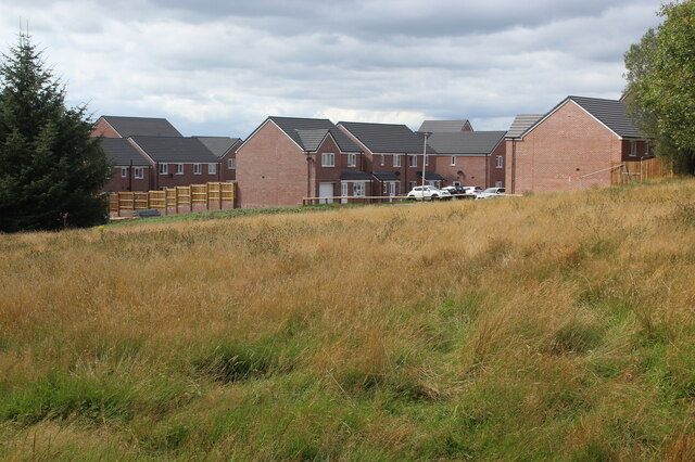
Islwyn Scout Parc is a sprawling natural reserve located in Monmouthshire, Wales. Covering a vast area of downs and moorland, the park offers breathtaking landscapes and a plethora of outdoor activities for visitors of all ages.

The downs in Islwyn Scout Parc are characterized by their rolling hills and expansive grasslands. These open spaces provide ample opportunities for hiking, picnicking, and observing the diverse wildlife that calls the park home. The downs are also a popular spot for birdwatching, with a wide variety of species, including skylarks and meadow pipits, inhabiting the area.

Moving towards the moorland, visitors will be greeted by a different terrain, characterized by its heather-covered hills and rocky outcrops. This rugged landscape offers a challenging and rewarding experience for hikers and mountain bikers. The moorland is also home to an array of unique plant species, such as bilberry and cotton grass, adding to its natural beauty.

Islwyn Scout Parc boasts a well-maintained network of walking and cycling trails, allowing visitors to explore the park at their own pace. Additionally, the park offers camping facilities, providing a fantastic opportunity for those seeking an immersive outdoor experience.

Overall, Islwyn Scout Parc is a haven for nature lovers and adventure seekers alike. Its downs and moorland offer a diverse range of activities and stunning scenery, making it a must-visit destination for anyone looking to explore the natural beauty of Monmouthshire.

If you have any feedback on the listing, please let us know in the comments section below.

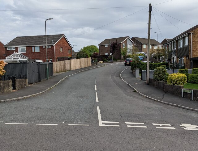
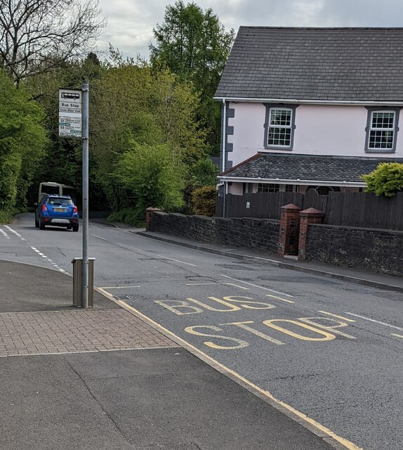
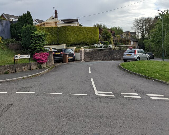
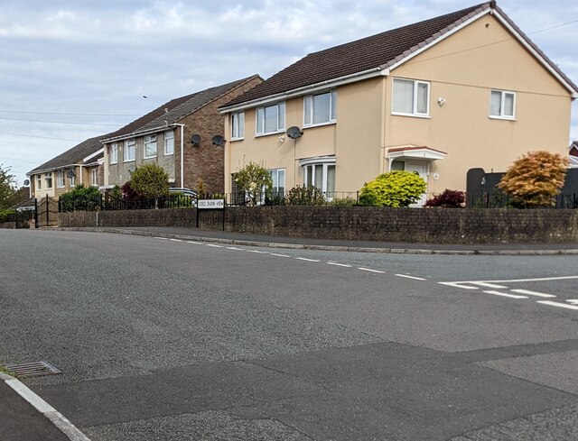
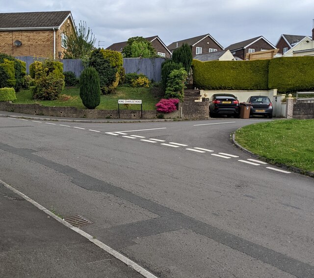
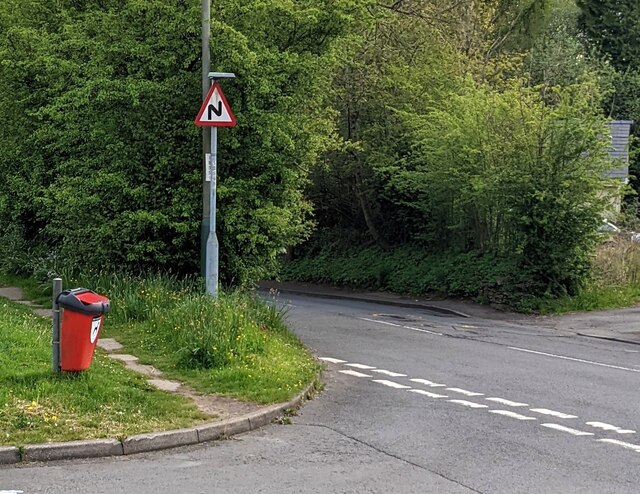
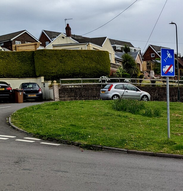
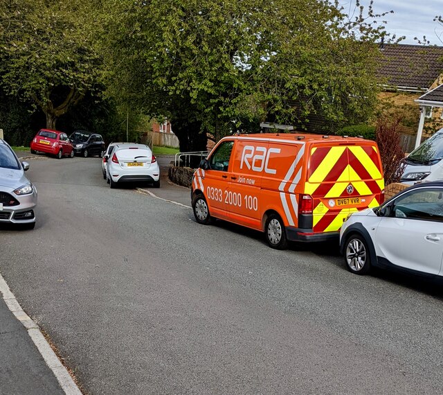
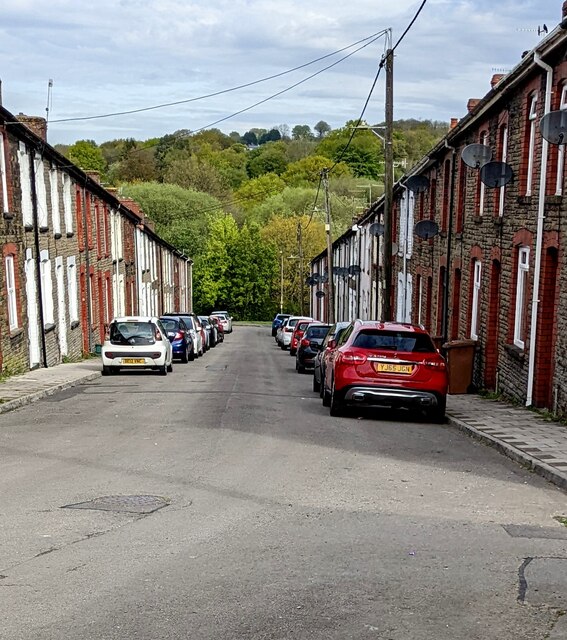
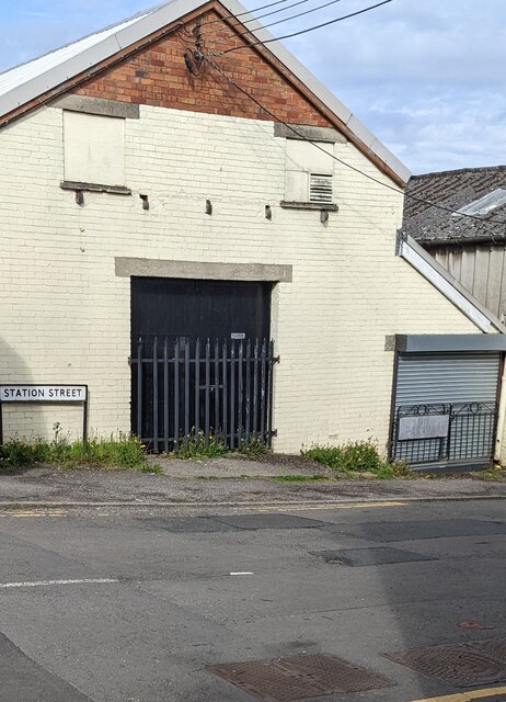
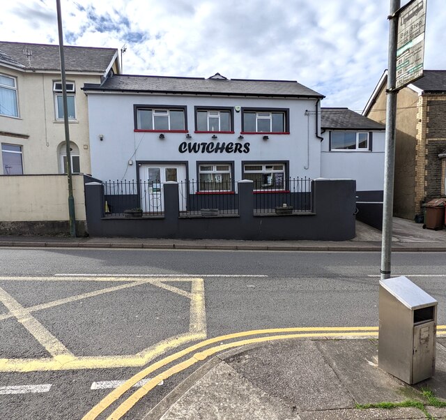
Islwyn Scout Parc Images

Images are sourced within 2km of 51.670065/-3.1513215 or Grid Reference ST2097. Thanks to Geograph Open Source API. All images are credited.

House under construction Construction site behind Bungalow Club, Llwynon Lane.
House under construction
Construction site behind Bungalow Club, Llwynon Lane.
Abandoned golf course, Oakdale The southernmost section of the former Oakdale Golf Course; a housing estate has built on part of the course and this could be the fate of this green area.
Abandoned golf course, Oakdale
The southernmost section of the former Oakdale Golf Course; a housing estate has built on part of the course and this could be the fate of this green area.
Overgrown former golf course Abandoned section of Oakdale Golf Course; the far side of this part of the course is shown in <a href="https://www.geograph.org.uk/photo/6940787">ST1997 : Abandoned golf course, Oakdale</a>. The northern part of the course is now a housing estate.
Overgrown former golf course
Abandoned section of Oakdale Golf Course; the far side of this part of the course is shown in ST1997 : Abandoned golf course, Oakdale. The northern part of the course is now a housing estate.
Bridges on former Oakdale Golf Course Two footbridges over a ditch on the overgrown golf course.
Bridges on former Oakdale Golf Course
Two footbridges over a ditch on the overgrown golf course.
New housing estate, Oakdale Southern part of housing estate on former golf course; in the foreground is part of the overgrown course.
New housing estate, Oakdale
Southern part of housing estate on former golf course; in the foreground is part of the overgrown course.
Trees on former golf course A few scattered trees near the edge of a new housing estate.
Trees on former golf course
A few scattered trees near the edge of a new housing estate.
Caerbryn, Pentwynmawr Caerbryn ascends away from the north side of Coed Duon View.
Caerbryn, Pentwynmawr
Caerbryn ascends away from the north side of Coed Duon View.
Coed Duon View bus stop, Pentwynmawr Alongside High Street near the corner of Coed Duon View. In May 2022 this is a stop on Stagecoach bus route 151 to Newport and route 21 to Cwmbran.
Coed Duon View bus stop, Pentwynmawr
Alongside High Street near the corner of Coed Duon View. In May 2022 this is a stop on Stagecoach bus route 151 to Newport and route 21 to Cwmbran.
King Charles Road, Pentwynmawr Viewed across Coed Duon View.
King Charles Road, Pentwynmawr
Viewed across Coed Duon View.
Coed Duon View houses, Pentwynmawr The Caerbryn junction is on the right.
Coed Duon View houses, Pentwynmawr
The Caerbryn junction is on the right.
Junction of Coed Duon View and King Charles Road, Pentwynmawr Viewed across Coed Duon View in May 2022.
Junction of Coed Duon View and King Charles Road, Pentwynmawr
Viewed across Coed Duon View in May 2022.
Red bin for dog waste, Pentwynmawr Near the corner of Coed Duon View and High Street.
Red bin for dog waste, Pentwynmawr
Near the corner of Coed Duon View and High Street.
Ignore satnav sign, Coed Duon View, Pentwynmawr On a pole on grass near the corner of King Charles Road.
Ignore satnav sign, Coed Duon View, Pentwynmawr
On a pole on grass near the corner of King Charles Road.
Orange RAC van, Pentwynmawr Parked on the Coed Duon View roadway in May 2022.
Orange RAC van, Pentwynmawr
Parked on the Coed Duon View roadway in May 2022.
Down Station Street, Pentwynmawr Station Street houses and cars viewed in May 2022. High Street is behind the camera. Passenger services at Pentwynmawr Halt station ended in 1964.
Down Station Street, Pentwynmawr
Station Street houses and cars viewed in May 2022. High Street is behind the camera. Passenger services at Pentwynmawr Halt station ended in 1964.
Station Street name sign, Pentwynmawr On the corner of High Street.
Station Street name sign, Pentwynmawr
On the corner of High Street.
Cwtchers, High Street, Pentwynmawr Family-owned village pub opposite Fox Avenue viewed in May 2022. 
Pentwynmawr Sports Bar <a title="https://www.geograph.org.uk/photo/2017385" href="https://www.geograph.org.uk/photo/2017385">Link</a> was here in 2010.
Cwtchers, High Street, Pentwynmawr
Family-owned village pub opposite Fox Avenue viewed in May 2022. Pentwynmawr Sports Bar Link was here in 2010.
Route for walkway into new housing development The path will go from a light-controlled pedestrian crossing on the Kendon Road, B4251, near its junction with Parkway to the new housing estate <a href="https://www.geograph.org.uk/photo/7247716">ST1998 : Construction site, Ton-y-Felin Farm Lane</a>.
Route for walkway into new housing development
The path will go from a light-controlled pedestrian crossing on the Kendon Road, B4251, near its junction with Parkway to the new housing estate ST1998 : Construction site, Ton-y-Felin Farm Lane.
Show me another place!

Islwyn Scout Parc is located at Grid Ref: ST2097 (Lat: 51.670065, Lng: -3.1513215)

Unitary Authority: Caerphilly

Police Authority: Gwent

What 3 Words

///quintet.homelands.variation. Near Newbridge, Caerphilly

Related Wikis

Treowen Stars F.C.

Treowen Stars F.C. are a Welsh football club from the village of Treowen near Newbridge, Caerphilly. The club plays in the Ardal Leagues South East, the...

Treowen Halt railway station

Treowen Halt railway station served the village of Wonastow, Monmouthshire, Wales, from 1927 to 1960 on the Newport, Abergavenny and Hereford Railway....

Newbridge railway station (Wales)

Newbridge railway station (Welsh: Trecelyn) is on the Ebbw Valley Railway and serves the towns of Newbridge and Blackwood in south east Wales. The current...

Celynen North Halt railway station

Celynen North Halt railway station served the town of Abercarn, in the historical county of Glamorganshire, from 1936 to 1962 on the Monmouthshire Railway...

Ebbw Valley Railway

The Ebbw Valley Railway (Welsh: Rheilffordd Cwm Ebwy) is a branch line of the South Wales Main Line in South Wales. Transport for Wales Rail provides an...

Newbridge, Caerphilly

Newbridge (Welsh: Trecelyn) is a town and community in the county borough of Caerphilly, south Wales. It lies within the historic boundaries of the county...

Pwll-y-Pant railway station

Pwll-y-Pant railway station served the suburb of Pwll-y-Pant, in the historical county of Glamorgan, Wales, from 1871 to 1893 on the Rhymney Railway....

Workingman's Institute and Memorial Hall

The Workingman's Institute and Memorial Hall (The Institute and Memo) is an historical miners' institute, working men's club and multi-purpose community...

Nearby Amenities

Located within 500m of 51.670065,-3.1513215
Treowen Halt
Historic Railway: station
Railway: site
Lat/Long: 51.6681107/-3.1484408
Power: pole
Lat/Long: 51.6726741/-3.1570499
Direction: 185
Generator Method: photovoltaic
Generator Output Electricity: yes
Generator Solar Modules: 3
Generator Source: solar
Generator Type: solar_photovoltaic_panel
Location: roof
Power: generator
Lat/Long: 51.6658225/-3.1516405
Direction: 275
Generator Method: photovoltaic
Generator Output Electricity: yes
Generator Solar Modules: 4
Generator Source: solar
Generator Type: solar_photovoltaic_panel
Location: roof
Power: generator
Lat/Long: 51.6660317/-3.1520784
Direction: SE
Generator Method: photovoltaic
Generator Output Electricity: yes
Generator Solar Modules: 9
Generator Source: solar
Generator Type: solar_photovoltaic_panel
Location: roof
Power: generator
Lat/Long: 51.6687908/-3.1474516
Direction: SE
Generator Method: photovoltaic
Generator Output Electricity: yes
Generator Solar Modules: 7
Generator Source: solar
Generator Type: solar_photovoltaic_panel
Location: roof
Power: generator
Lat/Long: 51.6688448/-3.1473631
Direction: 260
Generator Method: photovoltaic
Generator Output Electricity: yes
Generator Solar Modules: 12
Generator Source: solar
Generator Type: solar_photovoltaic_panel
Location: roof
Power: generator
Lat/Long: 51.6670191/-3.1468132
Direction: 80
Generator Method: photovoltaic
Generator Output Electricity: yes
Generator Solar Modules: 8
Generator Source: solar
Generator Type: solar_photovoltaic_panel
Location: roof
Power: generator
Lat/Long: 51.6670261/-3.1467234
Direction: ESE
Generator Method: photovoltaic
Generator Output Electricity: yes
Generator Solar Modules: 16
Generator Source: solar
Generator Type: solar_photovoltaic_panel
Location: roof
Power: generator
Lat/Long: 51.6712743/-3.1468421
Direction: 125
Generator Method: photovoltaic
Generator Output Electricity: yes
Generator Solar Modules: 13
Generator Source: solar
Generator Type: solar_photovoltaic_panel
Location: roof
Power: generator
Lat/Long: 51.6695676/-3.1471941
Direction: 185
Generator Method: photovoltaic
Generator Output Electricity: yes
Generator Solar Modules: 7
Generator Source: solar
Generator Type: solar_photovoltaic_panel
Location: roof
Power: generator
Lat/Long: 51.665961/-3.1519684
Direction: 185
Generator Method: photovoltaic
Generator Output Electricity: yes
Generator Solar Modules: 8
Generator Source: solar
Generator Type: solar_photovoltaic_panel
Location: roof
Power: generator
Lat/Long: 51.6659743/-3.1520938
Direction: 185
Generator Method: photovoltaic
Generator Output Electricity: yes
Generator Solar Modules: 7
Generator Source: solar
Generator Type: solar_photovoltaic_panel
Location: roof
Power: generator
Lat/Long: 51.6659431/-3.1516278
Direction: 185
Generator Method: photovoltaic
Generator Output Electricity: yes
Generator Solar Modules: 5
Generator Source: solar
Generator Type: solar_photovoltaic_panel
Location: roof
Power: generator
Lat/Long: 51.665919/-3.1518799
Direction: 185
Generator Method: photovoltaic
Generator Output Electricity: yes
Generator Solar Modules: 8
Generator Source: solar
Generator Type: solar_photovoltaic_panel
Location: roof
Power: generator
Lat/Long: 51.665946/-3.1518665
The data included in this document is from www.openstreetmap.org. The data is made available under ODbL.

Have you been to Islwyn Scout Parc?

Leave your review of Islwyn Scout Parc below (or comments, questions and feedback).