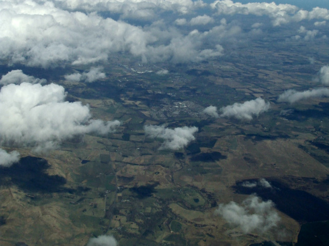
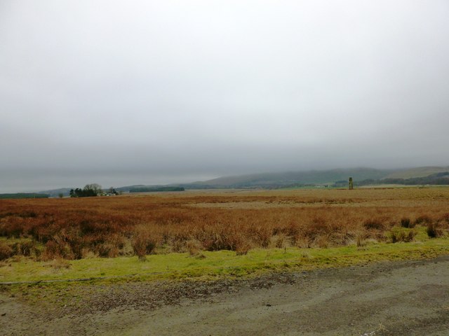
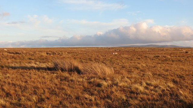
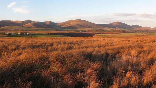
Hare Moss
Downs, Moorland in Midlothian
Scotland
Hare Moss
The requested URL returned error: 429 Too Many Requests
If you have any feedback on the listing, please let us know in the comments section below.
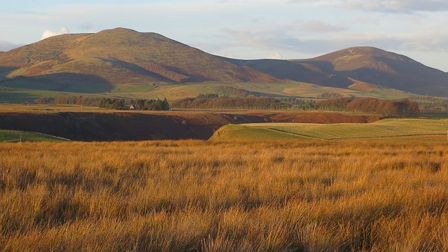
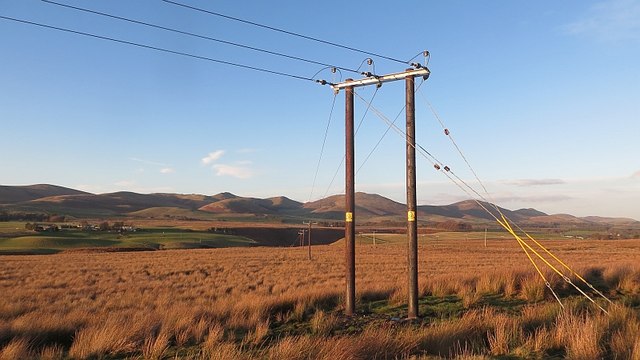
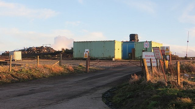
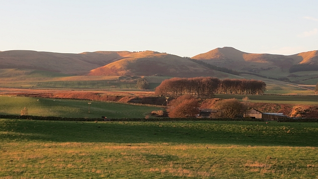
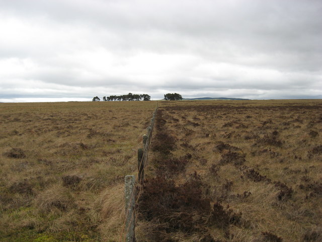
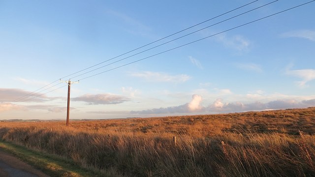
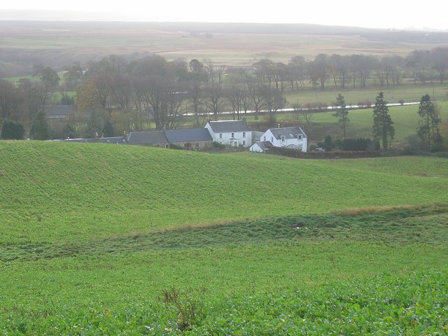
Hare Moss Images
Images are sourced within 2km of 55.7965/-3.2752895 or Grid Reference NT2056. Thanks to Geograph Open Source API. All images are credited.


Hare Moss is located at Grid Ref: NT2056 (Lat: 55.7965, Lng: -3.2752895)
Unitary Authority: Midlothian
Police Authority: The Lothians and Scottish Borders
What 3 Words
///renews.grounding.healthier. Near Penicuik, Midlothian
Nearby Locations
Related Wikis

Brunstane Castle
Brunstane Castle (alternatively Brunston, Brunstain or Brunstone Castle) is a ruined tower house, dating from the 16th century, around 2 miles (3.2 km...
Nine Mile Burn
Nine Mile Burn is a hamlet in Midlothian, Scotland, the last in Midlothian when heading south on the A702 road. It is located at the foot of the Pentland...

Eight Mile Burn
Eight Mile Burn is a small settlement in Midlothian, South East Scotland, at the base of Pentland Hills Regional Park. It is approximately 11 miles from...

Penicuik House
Penicuik House (alternative spellings in use until mid 19th century: Penycuik, Pennycuik) survives as the shell of a formerly grand estate house in Penicuik...
Nearby Amenities
Located within 500m of 55.7965,-3.2752895Have you been to Hare Moss?
Leave your review of Hare Moss below (or comments, questions and feedback).