Club
Downs, Moorland in Lancashire Barrow-in-Furness
England
Club
Club, Lancashire (Downs, Moorland) is a picturesque region located in the county of Lancashire, England. It is characterized by its rolling hills, expansive downs, and vast moorland, making it a popular destination for nature enthusiasts and hikers.
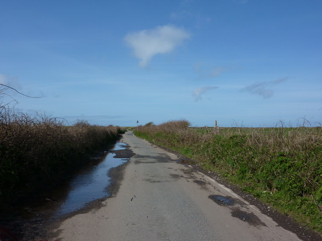
The Downs in Club, Lancashire offer breathtaking views of the surrounding landscape, with its gently sloping hills covered in lush greenery. Visitors can enjoy leisurely walks or challenging hikes along the well-maintained trails, taking in the fresh air and stunning vistas. The Downs are also home to a variety of wildlife, including rare bird species, making it a haven for birdwatchers.
The Moorland in Club, Lancashire is a vast expanse of open land, characterized by its rugged terrain and heather-covered hills. It provides a unique and untouched environment for outdoor activities such as mountain biking and horse riding. The moorland is also home to an abundance of wildlife, including grouse and hares, creating a rich ecosystem for nature enthusiasts to explore.
In addition to its natural beauty, Club, Lancashire offers a range of amenities and facilities for visitors. There are several quaint villages in the area, providing charming accommodation options and traditional pubs serving local cuisine. The region also boasts a rich history, with ancient landmarks and archaeological sites scattered throughout the landscape.
Overall, Club, Lancashire (Downs, Moorland) is a captivating destination that offers a blend of natural beauty, outdoor activities, and cultural heritage. Whether exploring the Downs, traversing the moorland, or immersing oneself in the local history, visitors to Club, Lancashire are sure to be enthralled by its charm and allure.
If you have any feedback on the listing, please let us know in the comments section below.
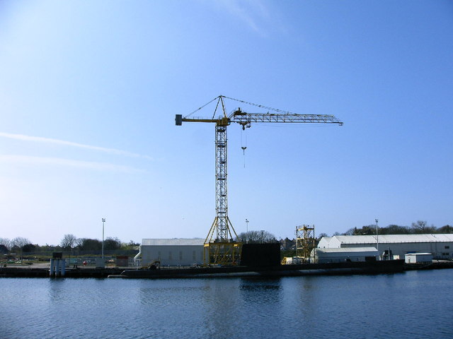
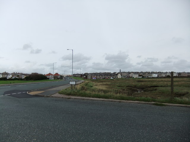
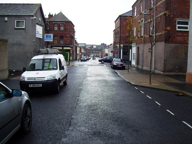
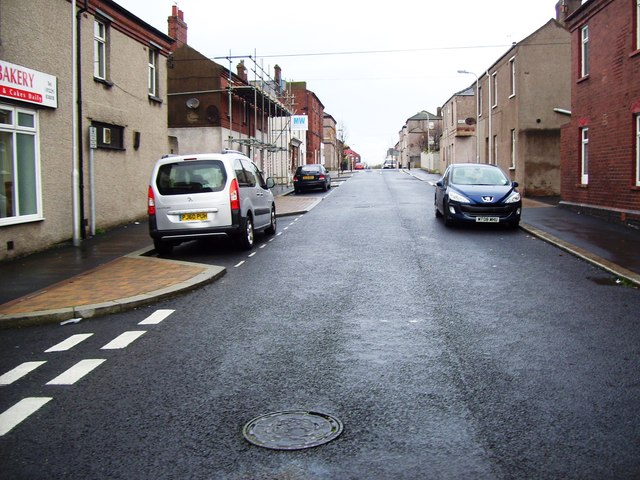
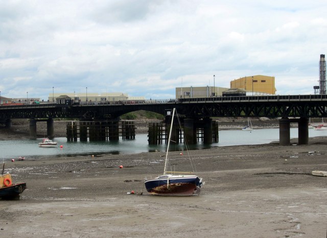
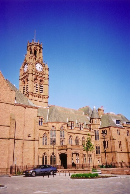
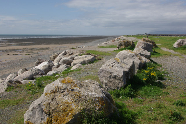
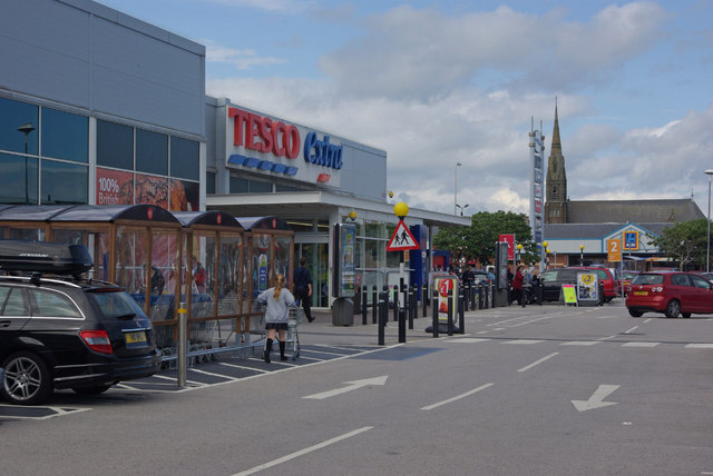
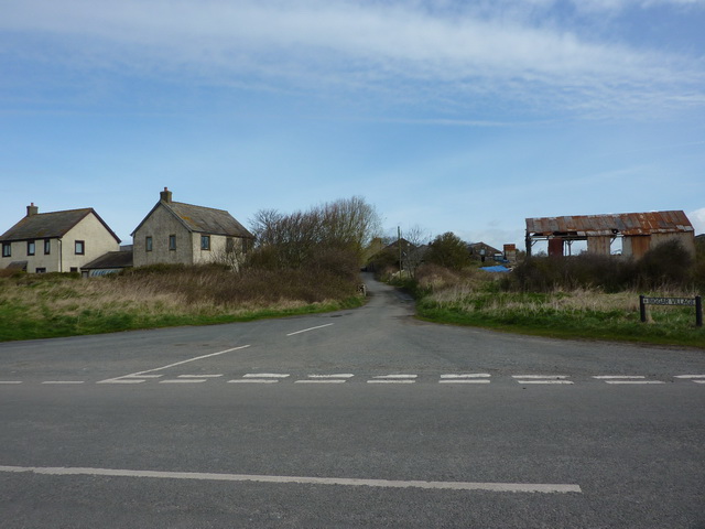
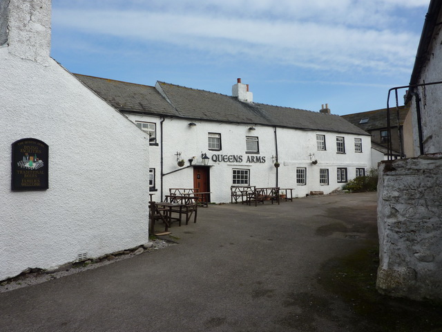
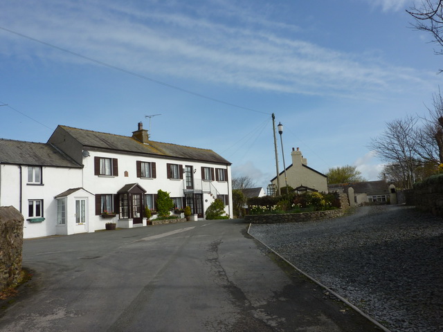
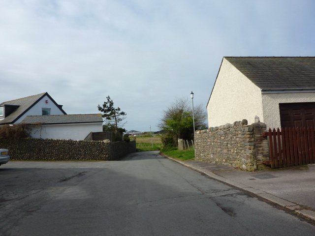
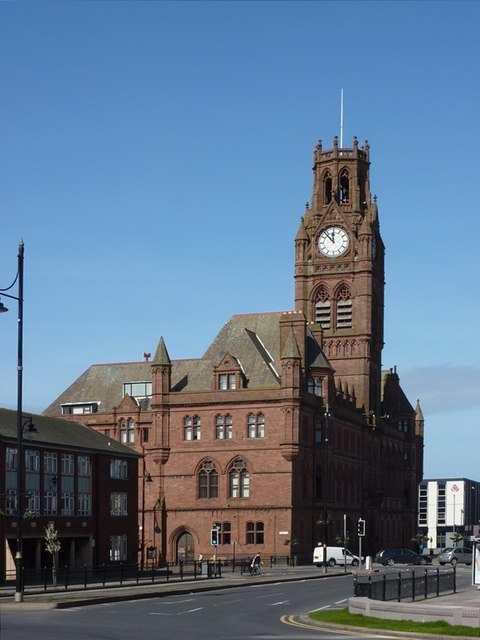
Club Images
Images are sourced within 2km of 54.099171/-3.2313617 or Grid Reference SD1967. Thanks to Geograph Open Source API. All images are credited.


Club is located at Grid Ref: SD1967 (Lat: 54.099171, Lng: -3.2313617)
Administrative County: Cumbria
District: Barrow-in-Furness
Police Authority: Cumbria
What 3 Words
///jets.calculating.senior. Near Barrow in Furness, Cumbria
Nearby Locations
Related Wikis

Barrow Island, Barrow-in-Furness
Barrow Island is an area and electoral ward of Barrow-in-Furness, Cumbria, England. Originally separate from the British mainland, land reclamation in...

Dova Haw
Dova Haw, also known as Crab Island, is a small islet that is one of the Islands of Furness. It is a small tidal island off the coast of Cumbria, England...
Ramsden Dock railway station
Ramsden Dock railway station (also known as Barrow Island and officially as Barrow Ramsden Dock) was the terminus of the Furness Railway's Ramsden Dock...

Island Road railway station
Island Road railway station (also known as Barrow Shipyard and locally simply as Shipyard station) was a railway station at the centre of Barrow Island...

St John's Church, Barrow-in-Furness
St. John's Church is a church on Barrow Island, Barrow-in-Furness, Cumbria, England. It is a Grade II listed building. The church was built in 1934-1935...
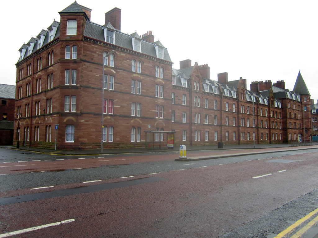
Devonshire Buildings
The Devonshire Buildings are two adjacent apartment buildings in the Barrow Island area of Barrow-in-Furness, Cumbria, England. They are both recorded...

Walney Channel
The Walney Channel separates Walney Island from the British mainland. The northern portion of the channel opens into the Duddon Estuary and is both narrower...
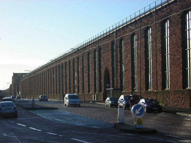
VSEL Heavy Engineering Workshop
The VSEL Heavy Engineering Workshop located at Michaelson Road in the Barrow Island area of Barrow-in-Furness, Cumbria, England is a Grade II listed former...
Related Videos


Nearby Amenities
Located within 500m of 54.099171,-3.2313617Have you been to Club?
Leave your review of Club below (or comments, questions and feedback).