Bloomey Down
Downs, Moorland in Devon East Devon
England
Bloomey Down
Bloomey Down is a picturesque area located in the county of Devon, England. Situated amidst the rolling hills and beautiful landscapes, it is a popular destination for nature enthusiasts and outdoor lovers. The area is primarily known for its downs and moorland, offering visitors a unique experience of exploring the British countryside.
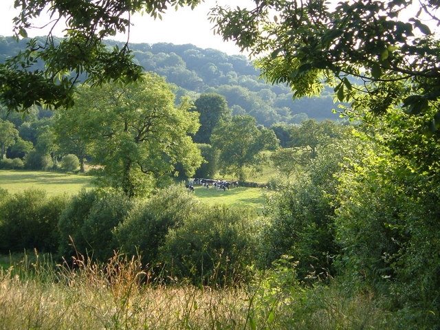
The downs of Bloomey Down are characterized by their gently sloping grassy hills, which provide stunning panoramic views of the surrounding countryside. These hills are adorned with a variety of wildflowers during the blooming season, adding vibrant colors to the landscape. Hikers and walkers can enjoy numerous trails that crisscross the downs, allowing them to discover hidden gems and take in the tranquil beauty of the area.
Adjacent to the downs is the Moorland of Bloomey Down, which showcases a different side of the region's natural beauty. The moorland features vast expanses of heather, gorse, and bracken, creating a rugged and wild environment. It is home to a diverse range of flora and fauna, including rare bird species such as the Dartford warbler and the European nightjar.
Bloomey Down is also known for its rich history and archaeological sites. The area has a number of ancient burial mounds and stone circles, which provide insights into the region's ancient past. Visitors can explore these sites and learn about the fascinating history of the area.
With its stunning natural landscapes, diverse wildlife, and historical significance, Bloomey Down is a must-visit destination for those seeking a peaceful retreat in the heart of Devon.
If you have any feedback on the listing, please let us know in the comments section below.
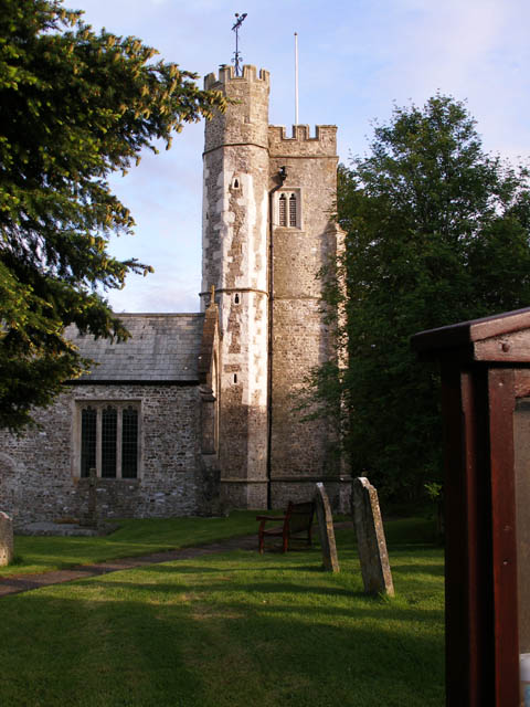
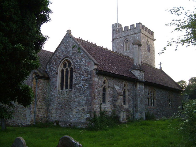
Bloomey Down Images
Images are sourced within 2km of 50.777835/-3.159365 or Grid Reference SY1898. Thanks to Geograph Open Source API. All images are credited.


Bloomey Down is located at Grid Ref: SY1898 (Lat: 50.777835, Lng: -3.159365)
Administrative County: Devon
District: East Devon
Police Authority: Devon and Cornwall
What 3 Words
///climber.health.reckoned. Near Honiton, Devon
Nearby Locations
Related Wikis

Church Green, Devon
Church Green is a hamlet in the civil parish of Farway in the East Devon district of Devon, England. Its nearest town is Honiton, which lies approximately...
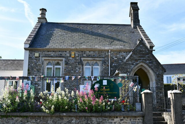
Offwell
Offwell is a village and civil parish in East Devon in the English county of Devon, approximately 2 miles south-east from the nearest town, Honiton. Offwell...

Northleigh
Northleigh is a village and civil parish in the East Devon district of Devon, England. Its nearest town is Colyton, which lies approximately 3.5 miles...
Farway
Farway is a small village, civil parish and former manor in the East Devon district of Devon, England. The village is situated about 3+1⁄2 miles (5.6 km...

Honiton railway station
Honiton railway station serves the town of Honiton in east Devon, England. It is operated by South Western Railway and is 154 miles 60 chains (249.0 km...
Woodbridge, Devon
Woodbridge is a hamlet in Farway civil parish, south-south-east of the town of Honiton, in the English county of Devon. The OS grid reference is SY1895...
Honiton
Honiton () is a market town and civil parish in East Devon, situated close to the River Otter, 17 miles (27 km) north east of Exeter in the county of Devon...

Honiton Community College
Honiton Community College is a comprehensive academy school located in Honiton, Devon, England. It was originally established as Honiton Secondary School...
Nearby Amenities
Located within 500m of 50.777835,-3.159365Have you been to Bloomey Down?
Leave your review of Bloomey Down below (or comments, questions and feedback).