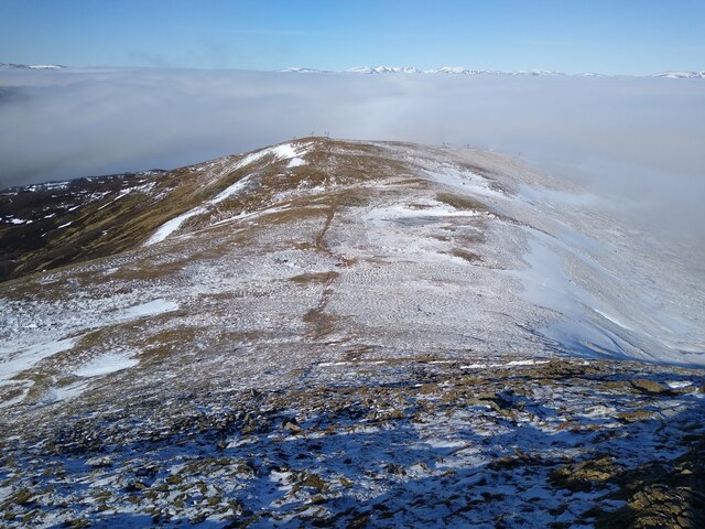
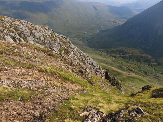
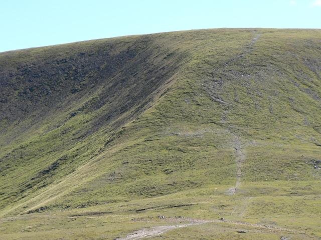
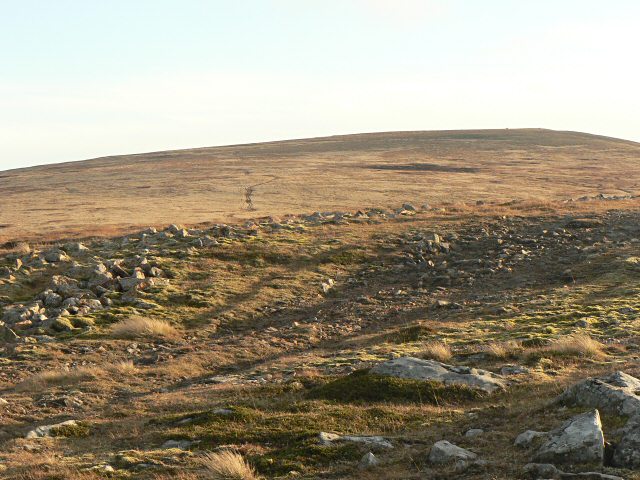
Caenlochan Forest

Downs, Moorland in Angus

Scotland

Caenlochan Forest

Cairn and trig on Glas Maol
Cairn and trig on Glas Maol Credit: Steven Brown

Caenlochan Forest is a picturesque woodland area located in Angus, Scotland. Nestled amidst the breathtaking landscape of the Angus Downs, this forest offers visitors a tranquil and serene escape from the hustle and bustle of daily life.

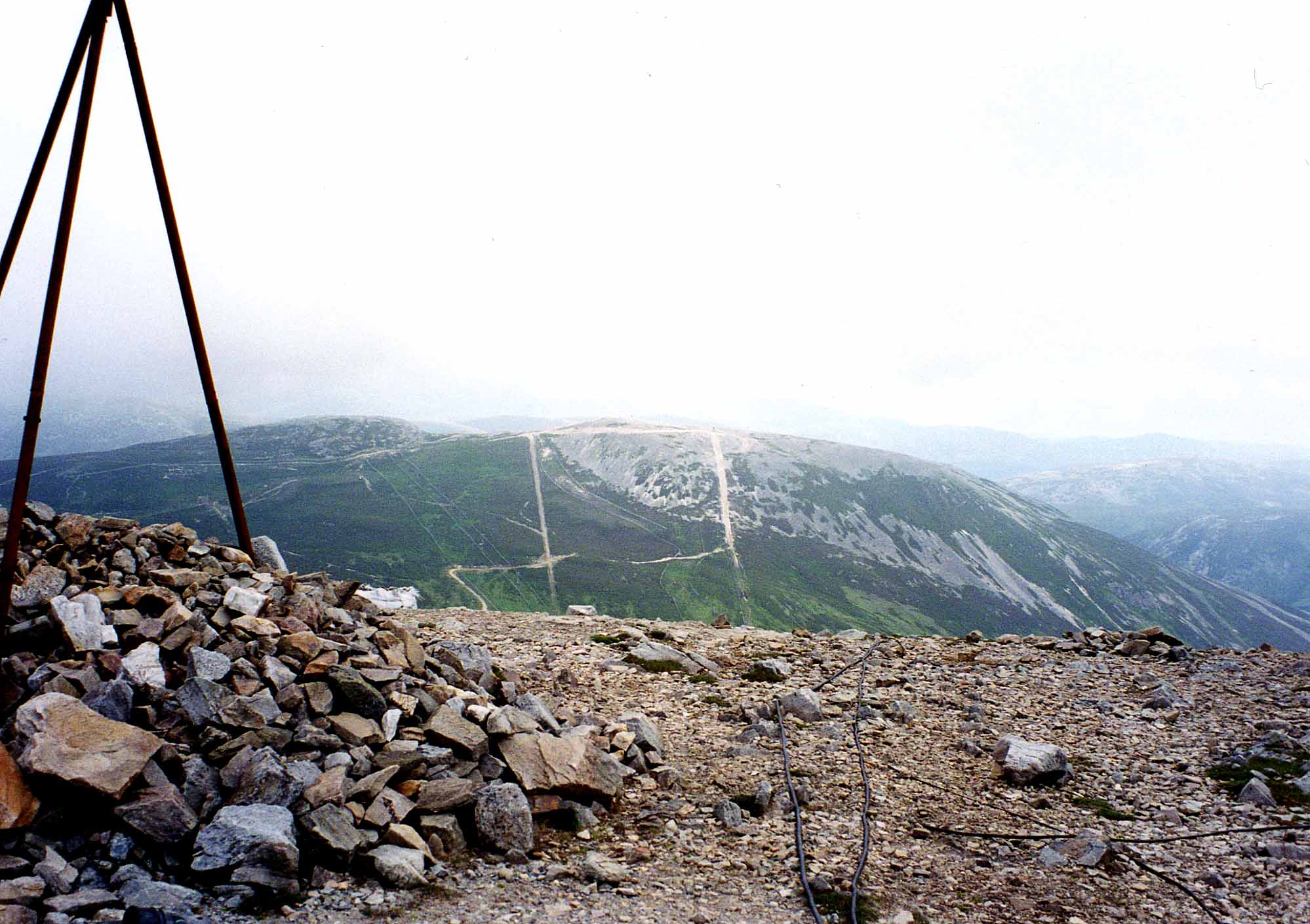
Covering an extensive area, Caenlochan Forest is characterized by its dense, lush vegetation and diverse wildlife. The forest is predominantly composed of native trees such as Scots pine, birch, and oak, providing a rich habitat for a variety of species. The forest floor is adorned with a carpet of mosses, ferns, and wildflowers, creating a vibrant and colorful atmosphere.

Walking through Caenlochan Forest, visitors can explore a network of well-maintained trails, which meander through the woodland and offer stunning views of the surrounding moorland. These trails cater to all levels of fitness and provide opportunities for leisurely strolls or more challenging hikes.

The forest is also home to an array of wildlife, including red deer, squirrels, and a variety of bird species. Nature enthusiasts can spot these creatures in their natural habitat, adding an element of excitement and discovery to their visit.

Caenlochan Forest is not only a haven for nature lovers but also a place of historical significance. The forest is dotted with remnants of ancient settlements, standing stones, and burial sites, providing a glimpse into the area's rich cultural heritage.

Overall, Caenlochan Forest offers a captivating blend of natural beauty, outdoor activities, and historical intrigue, making it a must-visit destination for those seeking an authentic Scottish experience.

If you have any feedback on the listing, please let us know in the comments section below.

Caenlochan Forest Images

Images are sourced within 2km of 56.86822/-3.3512168 or Grid Reference NO1776. Thanks to Geograph Open Source API. All images are credited.

Cairn and trig on Glas Maol
Low heath and wall at col north-east of Creag Leacach A carpet of bilberry in front of the wall crossing the col between Creag Leacach and Glas Maol.
In the distance a shower is passing in front of Carn à Gheòidh; to the right of that is The Cairnwell.
Low heath and wall at col north-east of Creag Leacach
A carpet of bilberry in front of the wall crossing the col between Creag Leacach and Glas Maol. In the distance a shower is passing in front of Carn à Gheòidh; to the right of that is The Cairnwell.
Vegetated crag north-west of Little Glas Maol The crag overlooks a notch in the ridge connecting Glas Maol and Little Glas Maol The upper Caenlochan Glen is below.
Craigie Glasallt is the crag across the hollow.
Vegetated crag north-west of Little Glas Maol
The crag overlooks a notch in the ridge connecting Glas Maol and Little Glas Maol The upper Caenlochan Glen is below. Craigie Glasallt is the crag across the hollow.
Mountain walker at small shelter The shelter is small and crudely made; the walker, sitting in front of it, isn't immediately obvious. The location is the col between Little Glas Maol and the higher, Glas Maol; that's the large grassy dome in the distance.
Mountain walker at small shelter
The shelter is small and crudely made; the walker, sitting in front of it, isn't immediately obvious. The location is the col between Little Glas Maol and the higher, Glas Maol; that's the large grassy dome in the distance.
Steep drop The descent from Glas Maol includes this steep drop towards Meall Odhar. Here, all the ski lifts are blocked from view, with the help of some clouds, creating this untarnished impression of the marred mountain.
Steep drop
The descent from Glas Maol includes this steep drop towards Meall Odhar. Here, all the ski lifts are blocked from view, with the help of some clouds, creating this untarnished impression of the marred mountain.
Summit of Glas Maol A Munro defined as a mountain in Scotland with a height over 3,000 feet (914.4 m), and which is on the Scottish Mountaineering Club (SMC) official list of Munros; there is no explicit topographical prominence requirement.
Summit of Glas Maol
A Munro defined as a mountain in Scotland with a height over 3,000 feet (914.4 m), and which is on the Scottish Mountaineering Club (SMC) official list of Munros; there is no explicit topographical prominence requirement.
Track north of Glas Maol A track above the Glas Choire that passes the eastern summit area of Glas Maol.
Track north of Glas Maol
A track above the Glas Choire that passes the eastern summit area of Glas Maol.
Plateau, Glas Maol A walker approaching the summit of Glas Maol above Glenshee.
Plateau, Glas Maol
A walker approaching the summit of Glas Maol above Glenshee.
View from the summit area of Glas Maol A view towards Creag Leacach from the summit area of Glas Maol. Cloudy skies but cloud-free Munros on an October afternoon.
View from the summit area of Glas Maol
A view towards Creag Leacach from the summit area of Glas Maol. Cloudy skies but cloud-free Munros on an October afternoon.
Southern flank of Glas Maol The southern slopes of Glas Maol - drystone walling, decaying fencing, and watercourses on an otherwise featureless and bleak hillside.
Southern flank of Glas Maol
The southern slopes of Glas Maol - drystone walling, decaying fencing, and watercourses on an otherwise featureless and bleak hillside.
The head of Caenlochan Glen
Cliffs on Druim Mor Looking down to Caenlochan Glen 450m below
Cliffs on Druim Mor
Looking down to Caenlochan Glen 450m below
Snow fences above Glas Choire in summer
Skirting around the edge of Caenlochan Glen The view towards Monega Hill from here was spectacular.
Skirting around the edge of Caenlochan Glen
The view towards Monega Hill from here was spectacular.
The final ascent of Glas Maol From the north.  The top of the ski tow can just be made out to the right of the image.
The final ascent of Glas Maol
From the north. The top of the ski tow can just be made out to the right of the image.
Trig point and wind shelter on Glas Maol At 1068m, this is the highest peak in the circuit.
Trig point and wind shelter on Glas Maol
At 1068m, this is the highest peak in the circuit.
Bend in the wall leading to Creag Leacach
Trig point and cairn on Glas Maol
Show me another place!

Caenlochan Forest is located at Grid Ref: NO1776 (Lat: 56.86822, Lng: -3.3512168)

Unitary Authority: Angus

Police Authority: Tayside

What 3 Words

///bleak.embraced.straddled. Near Inverey, Aberdeenshire

Related Wikis

Glas Maol

Glas Maol (Scottish Gaelic: A' Ghlas-Mheall) is a mountain in the Mounth, in the southeastern part of the Highlands of Scotland. The broad, flat summit...

Cairn of Claise

Cairn of Claise is a mountain in the Grampians of Scotland, located about three miles from the Glenshee Ski Center near Braemar. == References ==

Caenlochan

Caenlochan (Scottish Gaelic: Cadha an Lochain) is a glen in the Grampian Mountains of Scotland. Under EU Natura 2000 legislation it is a Special Area of...
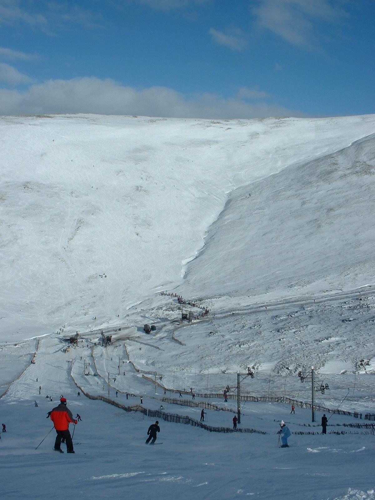
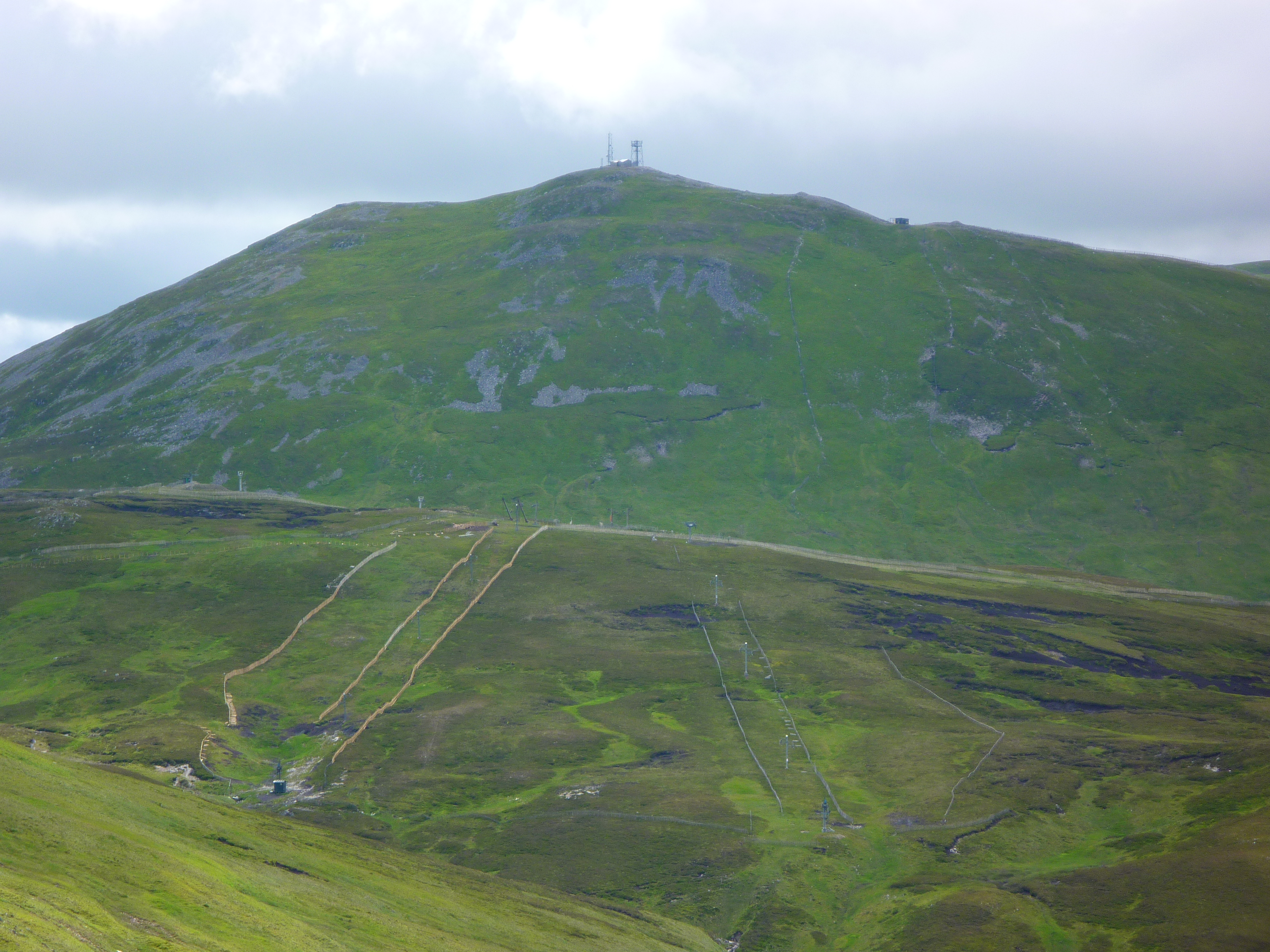
Glenshee Ski Centre

Glenshee Ski Centre is an alpine snowsports area in the Scottish Highlands. It is located above the Cairnwell Pass at the head of Glen Shee on either side...
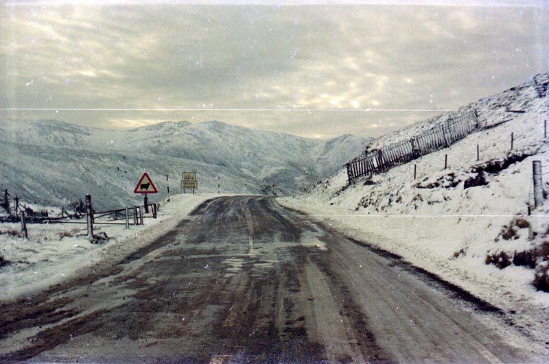
Cairnwell Pass

The Cairnwell Pass (Scottish Gaelic: Càrn a' Bhailg) is a mountain pass on the A93 road between Glen Shee, Perthshire, and Braemar, Aberdeenshire, in the...

Carn an Tuirc

Carn an Tuirc (Scottish Gaelic: Càrn an Tuirc, 'hill of the wild boar') is a mountain in the Mounth region of the Grampian Mountains, in the Scottish Highlands...

The Cairnwell

The Cairnwell (Scottish Gaelic: An Càrn Bhailg) is a mountain in the Eastern Highlands of Scotland, south of Braemar. It is often considered to be one...

Càrn Aosda

Càrn Aosda is a Scottish mountain situated 12.5 km south of the town of Braemar, in the county of Aberdeenshire. It stands near the summit of the Cairnwell...

Nearby Amenities

Located within 500m of 56.86822,-3.3512168
Little Glas Maol
Ele: 970
Natural: peak
Wikidata: Q20597566
Lat/Long: 56.8675988/-3.352116
The data included in this document is from www.openstreetmap.org. The data is made available under ODbL.

Have you been to Caenlochan Forest?

Leave your review of Caenlochan Forest below (or comments, questions and feedback).