Scoat Fell

Downs, Moorland in Cumberland Copeland

England

Scoat Fell

Fellwalkers on Little Scoat Fell The walkers on the upper slopes of Little Scoat Fell above Black Comb, looking across Mosedale to Great Gable and the Scafell Range.
Fellwalkers on Little Scoat Fell Credit: Adrian Taylor

Scoat Fell is a prominent mountain located in the western part of the Lake District National Park, in the county of Cumberland, England. With an elevation of 841 meters (2,759 feet), it is one of the highest peaks in the area and forms part of the Scafells mountain range.

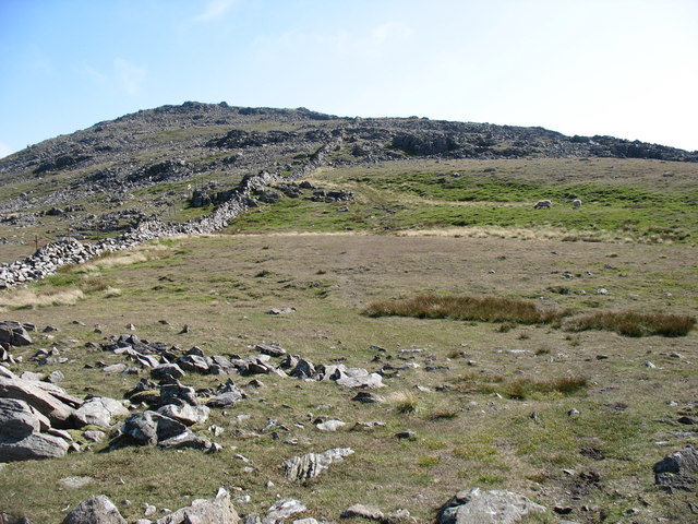
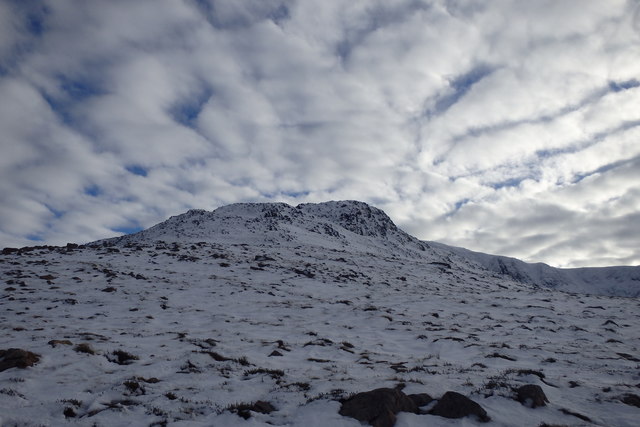
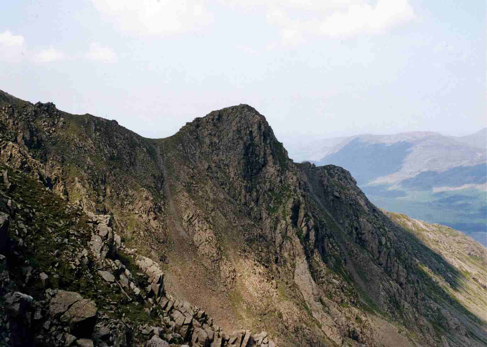
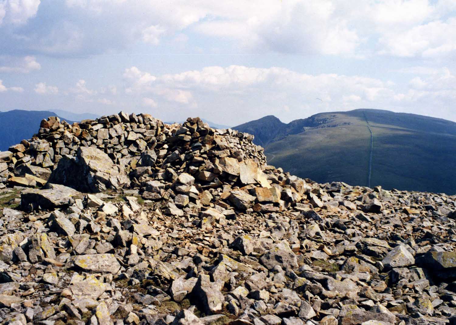
Situated within the Calder Valley, Scoat Fell offers breathtaking views of the surrounding landscape, including nearby peaks such as Scafell Pike and Great Gable. The mountain is known for its rugged and rocky terrain, featuring steep slopes and crags, which make it a challenging destination for experienced hikers and climbers.

The slopes of Scoat Fell are covered in a mixture of grass, heather, and moss, creating a beautiful contrast of colors throughout the year. The mountain is also home to various species of wildlife, including birds such as golden eagles and peregrine falcons, as well as smaller mammals like red squirrels and mountain hares.

Traversing Scoat Fell can be done via several different routes, including starting from the neighboring valleys of Wasdale, Ennerdale, or Eskdale. Each route offers a unique perspective of the mountain and its surroundings, with opportunities to explore the moorland and downs that flank its slopes.

For those seeking a true wilderness experience, Scoat Fell provides a remote and unspoiled setting, far away from the more popular tourist areas of the Lake District. Its natural beauty and challenging terrain make it a favorite among outdoor enthusiasts looking for a rewarding adventure in this picturesque part of England.

If you have any feedback on the listing, please let us know in the comments section below.

Scoat Fell Images

Images are sourced within 2km of 54.485891/-3.3051051 or Grid Reference NY1510. Thanks to Geograph Open Source API. All images are credited.

Fellwalkers on Little Scoat Fell The walkers on the upper slopes of Little Scoat Fell above Black Comb, looking across Mosedale to Great Gable and the Scafell Range.
Fellwalkers on Little Scoat Fell
The walkers on the upper slopes of Little Scoat Fell above Black Comb, looking across Mosedale to Great Gable and the Scafell Range.
Cairn shelter on Pillar A cairn shelter on the plateau-like summit of Pillar.  Today the southerly wind is remarkably warm, so warm that it almost feels like being blasted by a large hairdryer.
Cairn shelter on Pillar
A cairn shelter on the plateau-like summit of Pillar. Today the southerly wind is remarkably warm, so warm that it almost feels like being blasted by a large hairdryer.
View down into Ennerdale View down into Ennerdale from the western slopes of Pillar.
View down into Ennerdale
View down into Ennerdale from the western slopes of Pillar.
View to the Scafells View to the Scafells from the cairn shelter on the summit of Pillar.
View to the Scafells
View to the Scafells from the cairn shelter on the summit of Pillar.
Little Scoat Fell Little Scoat Fell viewed from just below the summit of Pillar.
Little Scoat Fell
Little Scoat Fell viewed from just below the summit of Pillar.
Bridleway heading down by Nether Beck Bridleway heading down by Nether Beck with Middle Fell in the distance
Bridleway heading down by Nether Beck
Bridleway heading down by Nether Beck with Middle Fell in the distance
Bridleway heading down by Nether Beck Bridleway heading down by Nether Beck with Middle Fell in the distance
Bridleway heading down by Nether Beck
Bridleway heading down by Nether Beck with Middle Fell in the distance
The Ennerdale Wall heading for Haycock This stretch of the wall has not yet been restored.
The Ennerdale Wall heading for Haycock
This stretch of the wall has not yet been restored.
North-west ridge of Haycock The route to the summit follows the dilapidated wall, with a few minor variations.
North-west ridge of Haycock
The route to the summit follows the dilapidated wall, with a few minor variations.
Low Beck Easy to cross today
Low Beck
Easy to cross today
Under Steeple Zoom shot from Low Beck
Under Steeple
Zoom shot from Low Beck
Ascending Steeple
Ascending Steeple
Under Long Crag Deep crusty snow made the ascent hard work
Under Long Crag
Deep crusty snow made the ascent hard work
Ascending Steeple Exhausted after struggling for two hours in deep snow this is as far as I got.
Ascending Steeple
Exhausted after struggling for two hours in deep snow this is as far as I got.
Under Long Crag On the Steeple ridge
Under Long Crag
On the Steeple ridge
On Steeple Looking towards Windgap Cove
On Steeple
Looking towards Windgap Cove
Descending Steeple High above Ennerdale
Descending Steeple
High above Ennerdale
Looking towards High Stile On an icy descent of the Steeple ridge
Looking towards High Stile
On an icy descent of the Steeple ridge
Show me another place!

Scoat Fell is located at Grid Ref: NY1510 (Lat: 54.485891, Lng: -3.3051051)

Administrative County: Cumbria

District: Copeland

Police Authority: Cumbria

What 3 Words

///format.darting.should. Near Frizington, Cumbria

Nearby Locations

Scoat Fell Scoat Tarn

Related Wikis

Scoat Fell

Scoat Fell is a fell in the western part of the English Lake District. It stands at the head of the Mosedale Horseshoe with its back to Ennerdale. Paths...

Steeple (Lake District)

Steeple is a fell in the English Lake District. It is situated in the mountainous area between Ennerdale and Wasdale and reaches a height of 819 metres...

Red Pike (Wasdale)

Red Pike is a fell in the English Lake District. It is 826 m or 2,709 ft high and lies due north of Wast Water. It is often climbed as part of the Mosedale...

Haycock (Lake District)

Haycock is a mountain in the western part of the English Lake District. It rises between Scoat Fell and Caw Fell to the south of Ennerdale and the north...

Nearby Amenities

Located within 500m of 54.485891,-3.3051051
Great Scoat Fell
Ele: 802
Natural: peak
Wikidata: Q7434211
Wikipedia: en:Scoat Fell
Lat/Long: 54.4891788/-3.306453
Scoat Fell
Place: locality
Lat/Long: 54.4876217/-3.3006193
Ford: yes
Lat/Long: 54.4842187/-3.3025205
The data included in this document is from www.openstreetmap.org. The data is made available under ODbL.

Have you been to Scoat Fell?

Leave your review of Scoat Fell below (or comments, questions and feedback).