Ennerdale Fell
Downs, Moorland in Cumberland Copeland
England
Ennerdale Fell

Ennerdale Fell is a picturesque area located in the county of Cumberland, England. Situated in the western part of the Lake District National Park, it is renowned for its stunning landscape, comprising of rolling hills, expansive moorland, and verdant fells.
Covering an extensive area, Ennerdale Fell offers a diverse range of natural features. The fells, which rise to an elevation of around 500 meters, provide breathtaking panoramic views of the surrounding countryside, including the nearby Ennerdale Water. The tranquil Ennerdale Valley stretches out below, with its lush forests and meandering River Liza, adding to the area's beauty.
Ennerdale Fell is an ideal destination for outdoor enthusiasts and nature lovers. The region offers a plethora of walking and hiking trails, allowing visitors to explore its pristine wilderness. The renowned Coast to Coast Walk, which stretches from St Bees to Robin Hood's Bay, passes through Ennerdale Fell, offering a challenging and rewarding experience for long-distance hikers.
The area is also home to various wildlife species, including red deer, buzzards, and ospreys. Ennerdale Fell is known for its conservation efforts, with initiatives aimed at preserving the natural habitat and ensuring its sustainability.
Whether it's immersing in the tranquility of the moorland, capturing stunning vistas, or embarking on an adventurous hike, Ennerdale Fell offers a truly remarkable experience for those seeking respite in the lap of nature.
If you have any feedback on the listing, please let us know in the comments section below.
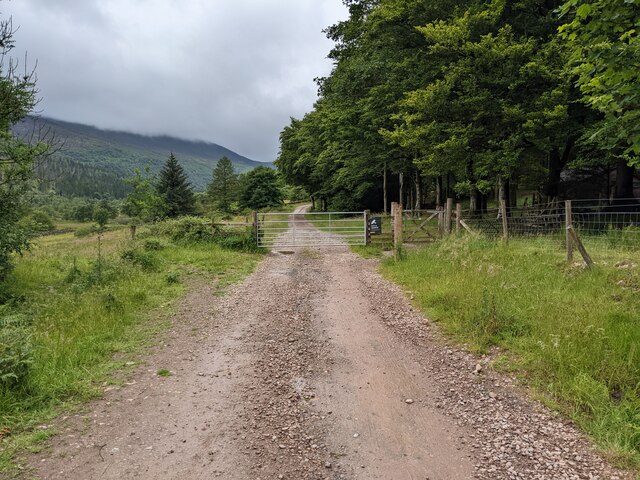
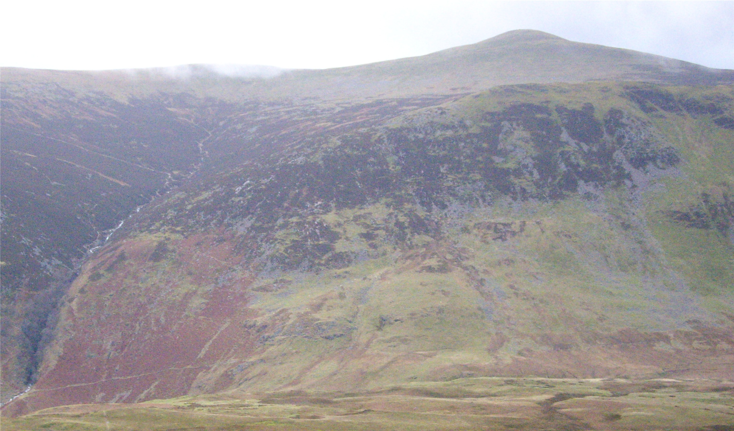
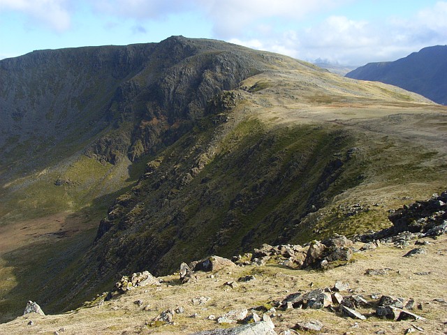
Ennerdale Fell Images
Images are sourced within 2km of 54.515681/-3.3146595 or Grid Reference NY1414. Thanks to Geograph Open Source API. All images are credited.


Ennerdale Fell is located at Grid Ref: NY1414 (Lat: 54.515681, Lng: -3.3146595)
Administrative County: Cumbria
District: Copeland
Police Authority: Cumbria
What 3 Words
///starring.princes.firebird. Near Frizington, Cumbria
Nearby Locations
Related Wikis

Red Pike (Buttermere)
Red Pike is a fell in the High Stile range in the western English Lake District, which separates Ennerdale from the valley of Buttermere and Crummock Water...
Starling Dodd
Starling Dodd is a fell in the western part of the English Lake District, located between the valleys of Ennerdale and Buttermere, on the ridge between...
Bleaberry Tarn
Bleaberry Tarn is a small natural mountain tarn near Buttermere in the English Lake District. Located at NY165154 (OS Landranger 89), it lies in a corrie...
High Stile
High Stile is a mountain in the western part of the Lake District in North West England. It is the eleventh-highest English Marilyn, standing 807 metres...
Nearby Amenities
Located within 500m of 54.515681,-3.3146595Have you been to Ennerdale Fell?
Leave your review of Ennerdale Fell below (or comments, questions and feedback).