Birker Fell

Downs, Moorland in Cumberland Copeland

England

Birker Fell

Eskdale Heron Seen in the meadow, close to the River Esk, which lies immediately beyond the tree line.
Eskdale Heron Credit: Peter Trimming

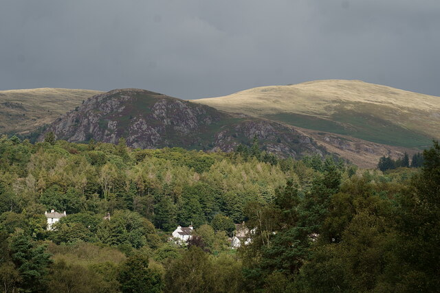
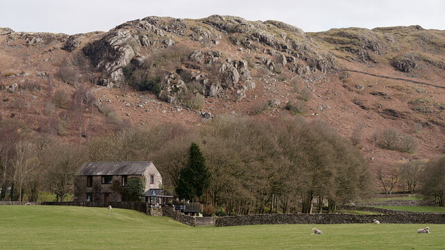
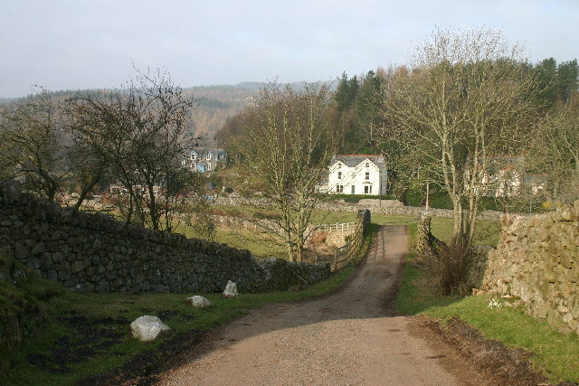
Birker Fell is a vast and picturesque expanse of upland moorland and rolling hills located in the county of Cumberland, in the northwestern region of England. Situated within the Lake District National Park, it covers an area of approximately 18 square miles.

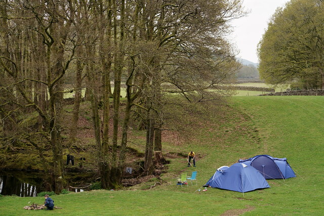
Characterized by its rugged and wild beauty, Birker Fell is a haven for nature enthusiasts and hikers alike. The landscape is dominated by sweeping open spaces, heather-covered moors, and scattered rocky outcrops. The highest point in the fell reaches an elevation of 2,020 feet, offering breathtaking panoramic views of the surrounding countryside.

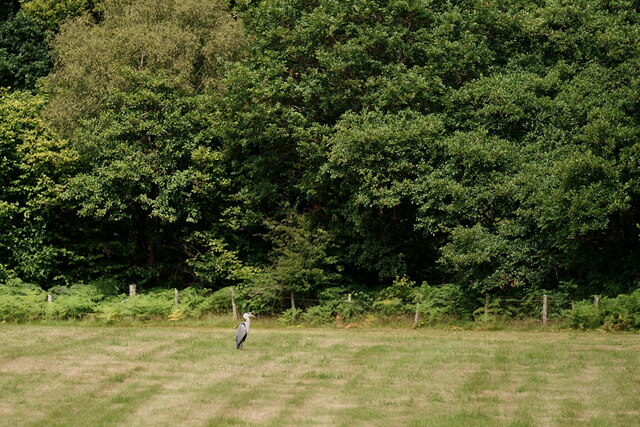
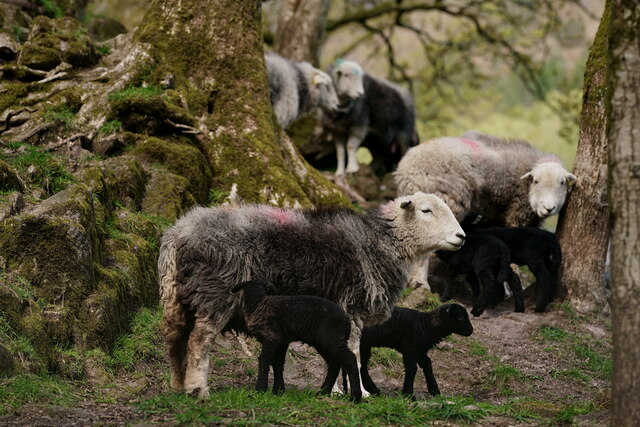
The fell is rich in biodiversity, with an array of wildlife calling it home. Visitors may encounter red deer, birds of prey such as peregrine falcons and kestrels, as well as various species of grouse. The area is also dotted with several tarns (small mountain lakes) that add to its scenic charm.

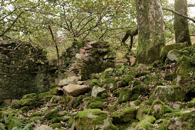
Traversing Birker Fell, there are numerous walking trails and footpaths, catering to different abilities and interests. The popular Birker Fell Stone Circle is a notable archaeological site dating back to the Bronze Age, providing a glimpse into the area's ancient history.

Access to Birker Fell is primarily through the nearby villages of Eskdale and Ulpha, where visitors can find amenities such as accommodations, eateries, and information centers. The fell is a remote and tranquil destination, offering a peaceful retreat from the hustle and bustle of everyday life.

If you have any feedback on the listing, please let us know in the comments section below.

Birker Fell Images

Images are sourced within 2km of 54.373359/-3.3122471 or Grid Reference SD1498. Thanks to Geograph Open Source API. All images are credited.

Eskdale Heron Seen in the meadow, close to the River Esk, which lies immediately beyond the tree line.
Eskdale Heron
Seen in the meadow, close to the River Esk, which lies immediately beyond the tree line.
Herdwicks in Eskdale Seen at Fisherground Farm.
Herdwicks in Eskdale
Seen at Fisherground Farm.
Eskdale Green Great Bank is in the middle distance.
Eskdale Green
Great Bank is in the middle distance.
Eskdale View towards the Old Joiners Shop, with Hollinghead Crag in the background.
Eskdale
View towards the Old Joiners Shop, with Hollinghead Crag in the background.
Camping in Eskdale The Hollin Head camping site, beside the River Esk.
Camping in Eskdale
The Hollin Head camping site, beside the River Esk.
Eskdale 'Northern Rock' approaching a foot crossing near Fisherground.
Eskdale
'Northern Rock' approaching a foot crossing near Fisherground.
Eskdale 'River Mite' approaching a foot crossing near Fisherground.
Eskdale
'River Mite' approaching a foot crossing near Fisherground.
Eskdale 'River Mite' approaching a foot crossing near Fisherground.
Eskdale
'River Mite' approaching a foot crossing near Fisherground.
Stream in the Wood A tiny woodland drainage stream which eventually flows into the River Esk.
Stream in the Wood
A tiny woodland drainage stream which eventually flows into the River Esk.
After Eight Years The planting for this hedge only commenced in September 2015, with hazel being the first species planted. Other hedgerow species quickly followed. Eight years on, it's looking like a 'proper' hedge. The path surface was added in 2023, following complaints that the path was muddy.

The view in 2015.
<a href="https://www.geograph.org.uk/photo/4686527">NY1500 : New Hedgerow in Eskdale</a>
After Eight Years
The planting for this hedge only commenced in September 2015, with hazel being the first species planted. Other hedgerow species quickly followed. Eight years on, it's looking like a 'proper' hedge. The path surface was added in 2023, following complaints that the path was muddy. The view in 2015. NY1500 : New Hedgerow in Eskdale
Ruined Building Seen beside the Esk Trail.
Ruined Building
Seen beside the Esk Trail.
Ruined Building Seen beside the Esk Trail.
Ruined Building
Seen beside the Esk Trail.
Road through Eskdale Green Road through Eskdale Green heading to The Green
Road through Eskdale Green
Road through Eskdale Green heading to The Green
Irton Road Station: Ravenglass and Eskdale Railway The station is situated in the very top of the grid square.
Irton Road Station: Ravenglass and Eskdale Railway
The station is situated in the very top of the grid square.
Water Crag across Linbeck Gill
Suspension bridge over River Esk The public footpath from Milkingstead to Fisherground crosses the Esk on this suspension bridge.
Suspension bridge over River Esk
The public footpath from Milkingstead to Fisherground crosses the Esk on this suspension bridge.
Bridleway, Eskdale Bridleway heading west towards Muncaster Fell through a landscape of small fields and oakwoods.
Bridleway, Eskdale
Bridleway heading west towards Muncaster Fell through a landscape of small fields and oakwoods.
Boathouse on Devoke Water.
Show me another place!

Birker Fell is located at Grid Ref: SD1498 (Lat: 54.373359, Lng: -3.3122471)

Administrative County: Cumbria

District: Copeland

Police Authority: Cumbria

What 3 Words

///enacted.replaying.query. Near Seascale, Cumbria

Nearby Locations

Birker Fell

Related Wikis

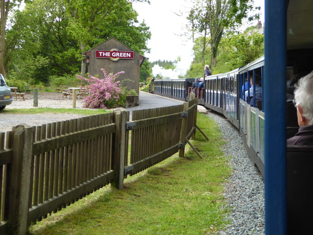
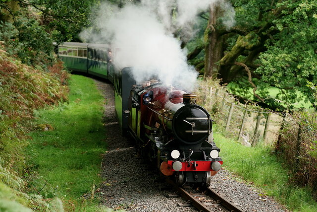
The Green railway station

The Green is a railway station on the 15-inch gauge Ravenglass & Eskdale Railway in the Lake District National Park and the English county of Cumbria....

Devoke Water

Devoke Water is a small lake in the south west of the Lake District in North West England. It is the largest tarn in the Lake District, a tarn being a...

Eskdale Green

Eskdale Green is a village in Cumbria, England, 10 miles west of Coniston. Historically in Cumberland, it lies off the A595 road and is one of the few...

Gate House, Eskdale Green

Gate House or Gatehouse is a country house in Eskdale Green, Cumbria, England. The house became a Grade II listed building on 8 September 1967.Built in...

Nearby Amenities

Located within 500m of 54.373359,-3.3122471
Brantrake Crags
Place: locality
Lat/Long: 54.3725751/-3.3126582
Brant Rake
Place: locality
Lat/Long: 54.3763196/-3.3130633
The data included in this document is from www.openstreetmap.org. The data is made available under ODbL.

Have you been to Birker Fell?

Leave your review of Birker Fell below (or comments, questions and feedback).