Littlehill Common

Downs, Moorland in Radnorshire

Wales

Littlehill Common

B4356, east of Llanbister
B4356, east of Llanbister Credit: Richard Webb

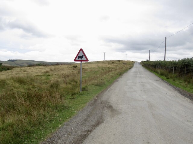
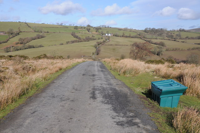
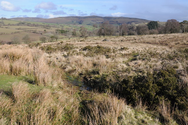
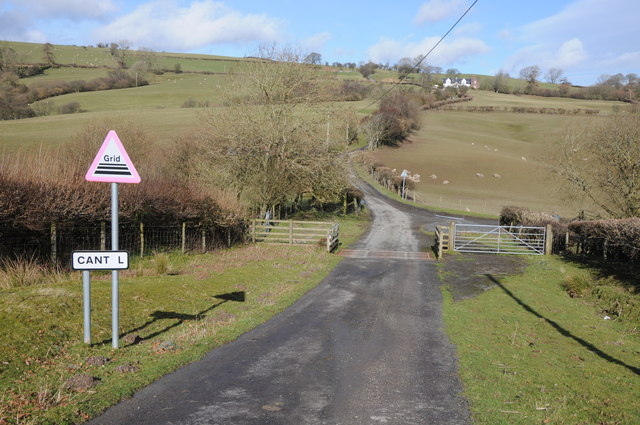
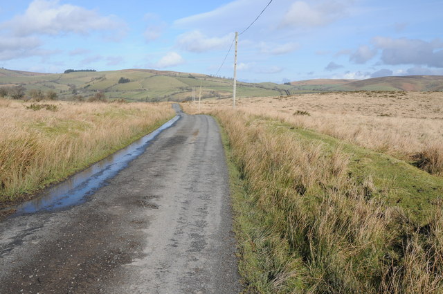
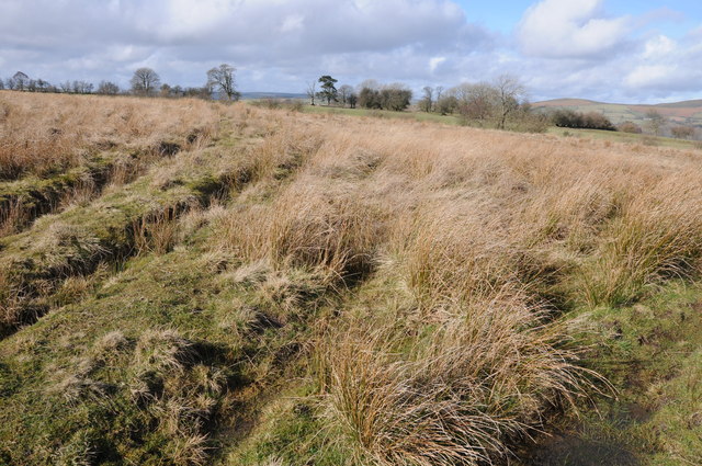
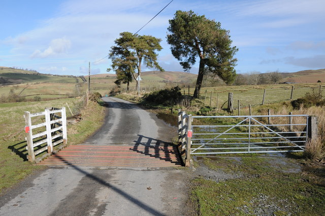
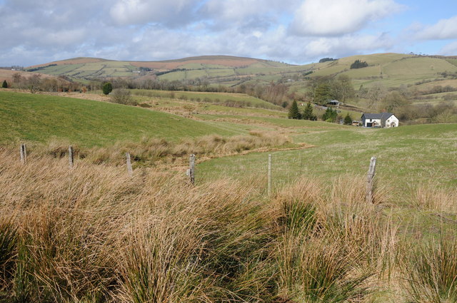
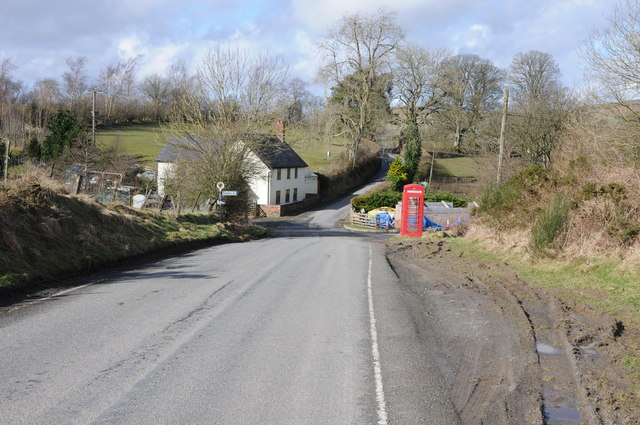
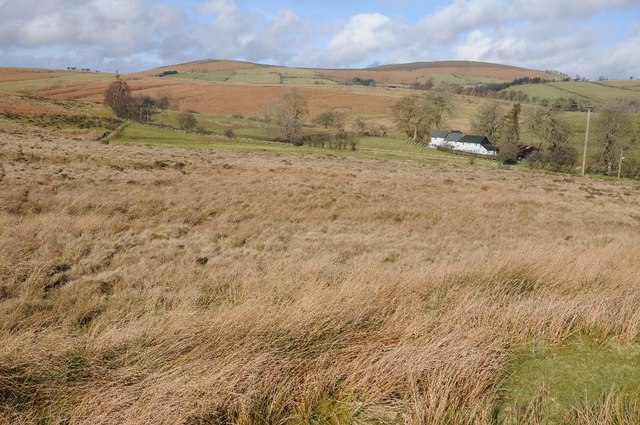
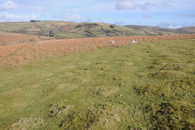
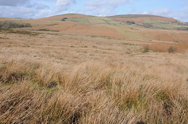
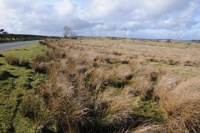
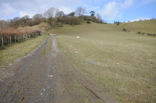
Littlehill Common is a picturesque area located in Radnorshire, Wales. Covering approximately 200 acres, the common consists of rolling hills, open moorland, and stunning views of the surrounding countryside. The landscape is characterized by a mix of grassy fields, heather-covered slopes, and scattered patches of woodland.

The common is home to a variety of wildlife, including birds such as red grouse, skylarks, and meadow pipits. Visitors may also spot rabbits, foxes, and the occasional deer roaming the area. The diverse habitats found on Littlehill Common make it a popular destination for nature enthusiasts and birdwatchers.

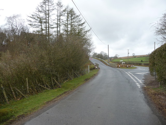
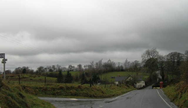
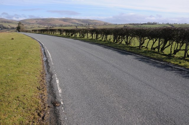
The common is crisscrossed by a network of footpaths and trails, making it ideal for walking, hiking, and exploring the natural beauty of the Radnorshire Downs. On a clear day, visitors can enjoy panoramic views of the surrounding hills and valleys, providing a peaceful and tranquil setting for outdoor activities.

Overall, Littlehill Common offers a peaceful retreat for those looking to escape the hustle and bustle of everyday life and immerse themselves in the beauty of the Welsh countryside.

If you have any feedback on the listing, please let us know in the comments section below.

Littlehill Common Images

Images are sourced within 2km of 52.353676/-3.258133 or Grid Reference SO1473. Thanks to Geograph Open Source API. All images are credited.

B4356, east of Llanbister
Road junction in Mid Wales Llanbister to the left and Llanbadarn Fynydd off to the right.
Road junction in Mid Wales
Llanbister to the left and Llanbadarn Fynydd off to the right.
Turning for Cantel
Turning for Cantel
Road approaching Cantel Upland country road approaching Cantel.
Road approaching Cantel
Upland country road approaching Cantel.
Rough upland grazing near Cantel View across rough upland grazing land to Beacon Hill and Pool Hill where the source of the River Lugg is.
Rough upland grazing near Cantel
View across rough upland grazing land to Beacon Hill and Pool Hill where the source of the River Lugg is.
Cattle grid at Cantel Upland road leaving the open access land over a cattle grid to Cantel, which other than a couple of farms doesn't appear to be marked on the OS map.
Cattle grid at Cantel
Upland road leaving the open access land over a cattle grid to Cantel, which other than a couple of farms doesn't appear to be marked on the OS map.
Road crossing Littlehill Common Road crossing Littlehill Common and area of open common land south of Crossways.
Road crossing Littlehill Common
Road crossing Littlehill Common and area of open common land south of Crossways.
Littlehill Common Littlehill Common with a view beyond to Beacon Hill, a beautiful unspoilt, little visited, mid-Wales landscape.
Littlehill Common
Littlehill Common with a view beyond to Beacon Hill, a beautiful unspoilt, little visited, mid-Wales landscape.
Common land near Towerhill Farm Some of the common land of Littlehill Common near Towerhill Farm.
Common land near Towerhill Farm
Some of the common land of Littlehill Common near Towerhill Farm.
Cattle grid on Littlehill Common Cattle grid above Crossways on the north side of Littlehill Common.
Cattle grid on Littlehill Common
Cattle grid above Crossways on the north side of Littlehill Common.
Farmland at Crossways View over farmland and upland grazing at Crossways.
Farmland at Crossways
View over farmland and upland grazing at Crossways.
Crossways The B4346 passing Crossways, the same view as Richard Webb's <a href="https://www.geograph.org.uk/photo/1470512">SO1474 : Crossways</a> though the house has been painted and there is building work tracking place on the right behind the telephone box.
Crossways
The B4346 passing Crossways, the same view as Richard Webb's SO1474 : Crossways though the house has been painted and there is building work tracking place on the right behind the telephone box.
View to Moelfre Hill View to Moelfre Hill across upland grazing land to the west of Crossways.
View to Moelfre Hill
View to Moelfre Hill across upland grazing land to the west of Crossways.
Upland grazing land  near Crossways Beautiful rolling mid-Wales grazing land to the east of Llanbister.
Upland grazing land near Crossways
Beautiful rolling mid-Wales grazing land to the east of Llanbister.
Upland grazing and Moelfre Hill Open access upland common grazing with Moelfre Hill in the distance.
Upland grazing and Moelfre Hill
Open access upland common grazing with Moelfre Hill in the distance.
Road from Llanbister to Crossways The hills in the background include Pool Hill and Beacon Hill and it is among these hills that the River Lugg rises.
Road from Llanbister to Crossways
The hills in the background include Pool Hill and Beacon Hill and it is among these hills that the River Lugg rises.
Upland grazing beside the road to Llanbister Rough open access common grazing land beside the road from Crossways to Llanbister.
Upland grazing beside the road to Llanbister
Rough open access common grazing land beside the road from Crossways to Llanbister.
Farmland near Vronganllwyd Farmland near Vronganllwyd to the east of Llanbister.
Farmland near Vronganllwyd
Farmland near Vronganllwyd to the east of Llanbister.
Show me another place!

Littlehill Common is located at Grid Ref: SO1473 (Lat: 52.353676, Lng: -3.258133)

Unitary Authority: Powys

Police Authority: Dyfed Powys

What 3 Words

///noises.thinkers.commit. Near Penybont, Powys

Related Wikis

Llanbister

Llanbister is a small village and community with a 2011 population of 382 in Powys, mid Wales, in the historic county of Radnorshire. == Facilities... ==

Llanbister Road railway station

Llanbister Road railway station is a countryside stop about 5 miles (8 km) from the village of Llanbister, Powys, Wales. The station is 41+3⁄4 miles (67...

Heartsease, Llanddewi Ystradenni

Heartsease is a small settlement or hamlet in the parish and community of Llanddewi Ystradenni in Powys, Wales. It should not be confused with Heartsease...

Beacon Hill, Powys

Beacon Hill (Welsh: Mynydd Disglair) is a hill in the county of Radnorshire, Wales. It lies within the Powys unitary council area. It is located north...

Nearby Amenities

Located within 500m of 52.353676,-3.258133
Barrier: cattle_grid
Lat/Long: 52.3561401/-3.2568613
Building: yes
Lat/Long: 52.3569679/-3.2537441
The data included in this document is from www.openstreetmap.org. The data is made available under ODbL.

Have you been to Littlehill Common?

Leave your review of Littlehill Common below (or comments, questions and feedback).