Bootle Fell
Downs, Moorland in Cumberland Copeland
England
Bootle Fell

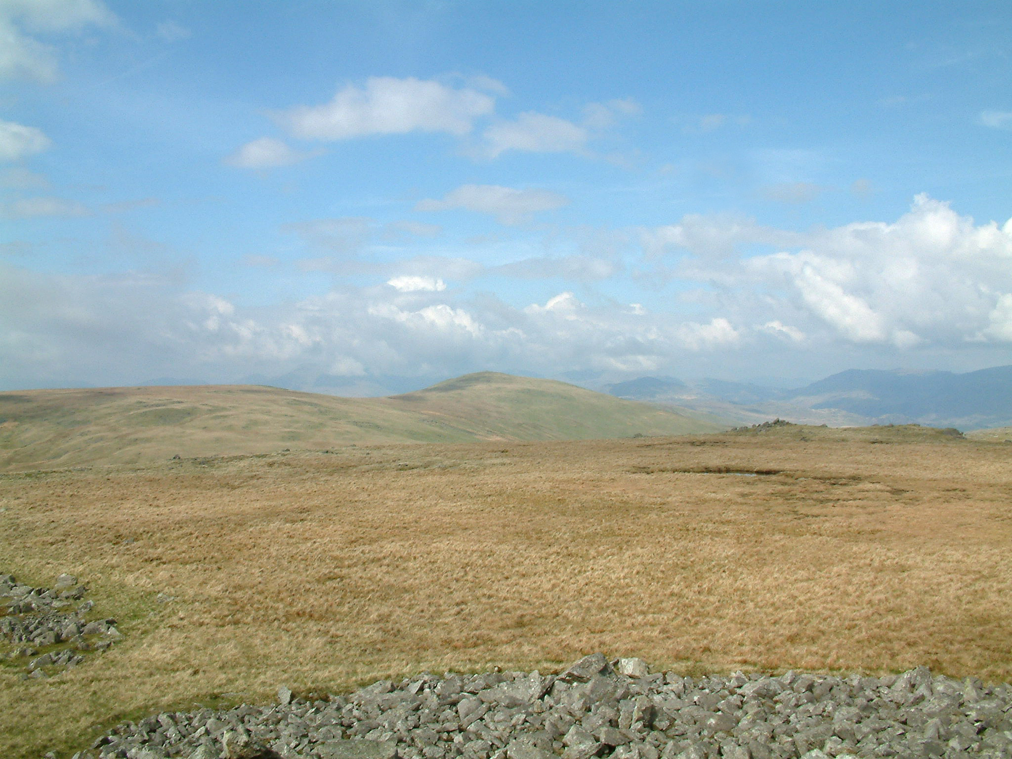
Bootle Fell is a geographical feature located in Cumberland, England. It is a prominent area encompassing downs, moorland, and dales. The fell rises to an elevation of approximately 1,112 feet (339 meters) and is situated within the Lake District National Park.
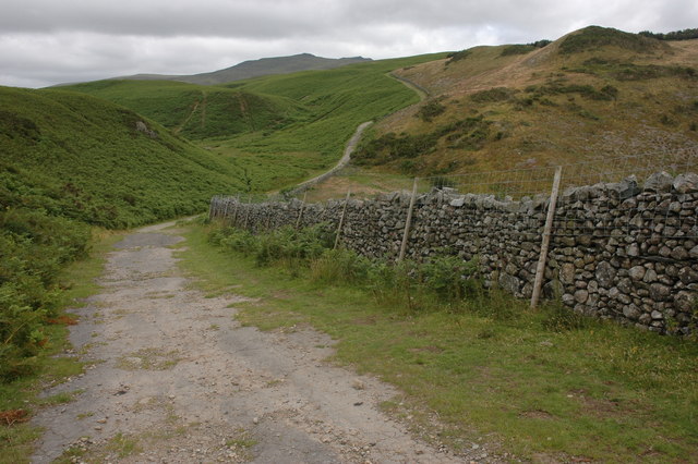
The landscape of Bootle Fell is characterized by undulating hills and valleys, covered by a mixture of heather, grasses, and scattered shrubs. The moorland areas are interspersed with stone walls and sheep grazing fields, showcasing the traditional agricultural practices of the region. The terrain gradually slopes towards the coastline, offering breathtaking views of the Irish Sea.
Bootle Fell is home to diverse flora and fauna, including heather, bilberry, and mosses. The area provides habitat for several species of birds, such as curlews, lapwings, and skylarks, making it a popular spot for birdwatching enthusiasts.
The fell is crisscrossed by a network of footpaths and tracks, providing opportunities for hiking and exploring the scenic surroundings. Visitors can enjoy leisurely walks along the hillsides, taking in the panoramic vistas of the surrounding countryside and the distant mountains.
Bootle Fell is easily accessible by road, with nearby villages and towns offering amenities and accommodations for tourists. The tranquil and unspoiled nature of the area makes it an ideal destination for those seeking a peaceful retreat amidst the beauty of the Lake District.
If you have any feedback on the listing, please let us know in the comments section below.
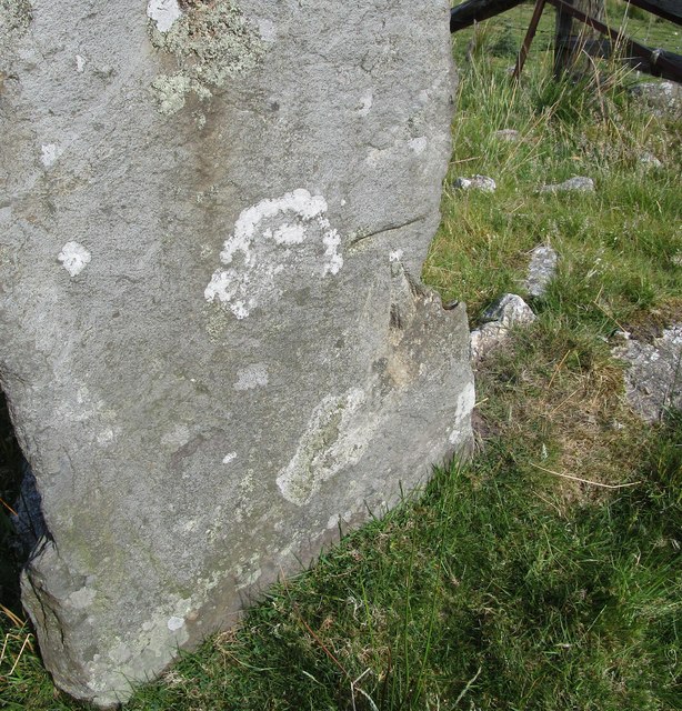
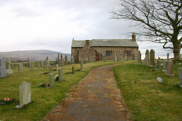
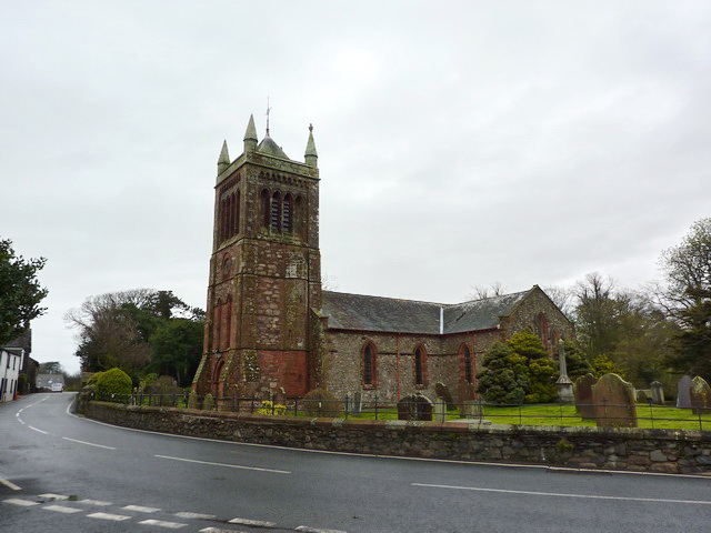
Bootle Fell Images
Images are sourced within 2km of 54.287002/-3.3214363 or Grid Reference SD1488. Thanks to Geograph Open Source API. All images are credited.


Bootle Fell is located at Grid Ref: SD1488 (Lat: 54.287002, Lng: -3.3214363)
Administrative County: Cumbria
District: Copeland
Police Authority: Cumbria
What 3 Words
///lately.heartburn.elections. Near Millom, Cumbria
Nearby Locations
Related Wikis
Corney
Corney is a village and former civil parish, now in the parish of Waberthwaite, in the Cumberland district, in the ceremonial county of Cumbria, England...

Swinside
Swinside, which is also known as Sunkenkirk and Swineshead, is a stone circle lying beside Swinside Fell, part of Black Combe in southern Cumbria, North...

Bootle, Cumbria
Bootle (oo as in boot) is a village and civil parish in the Borough of Copeland in Cumbria, England. The parish had a population of 745 in the 2001 census...
St Michael's Church, Bootle
St Michael's Church is in the village of Bootle, Cumbria, England. It is an active Anglican parish church in the deanery of Calder, the archdeaconry of...

Black Combe
Black Combe is a fell in the south-west corner of the Lake District National Park, England, just 4 miles (6.4 km) from the Irish Sea. It lies near the...
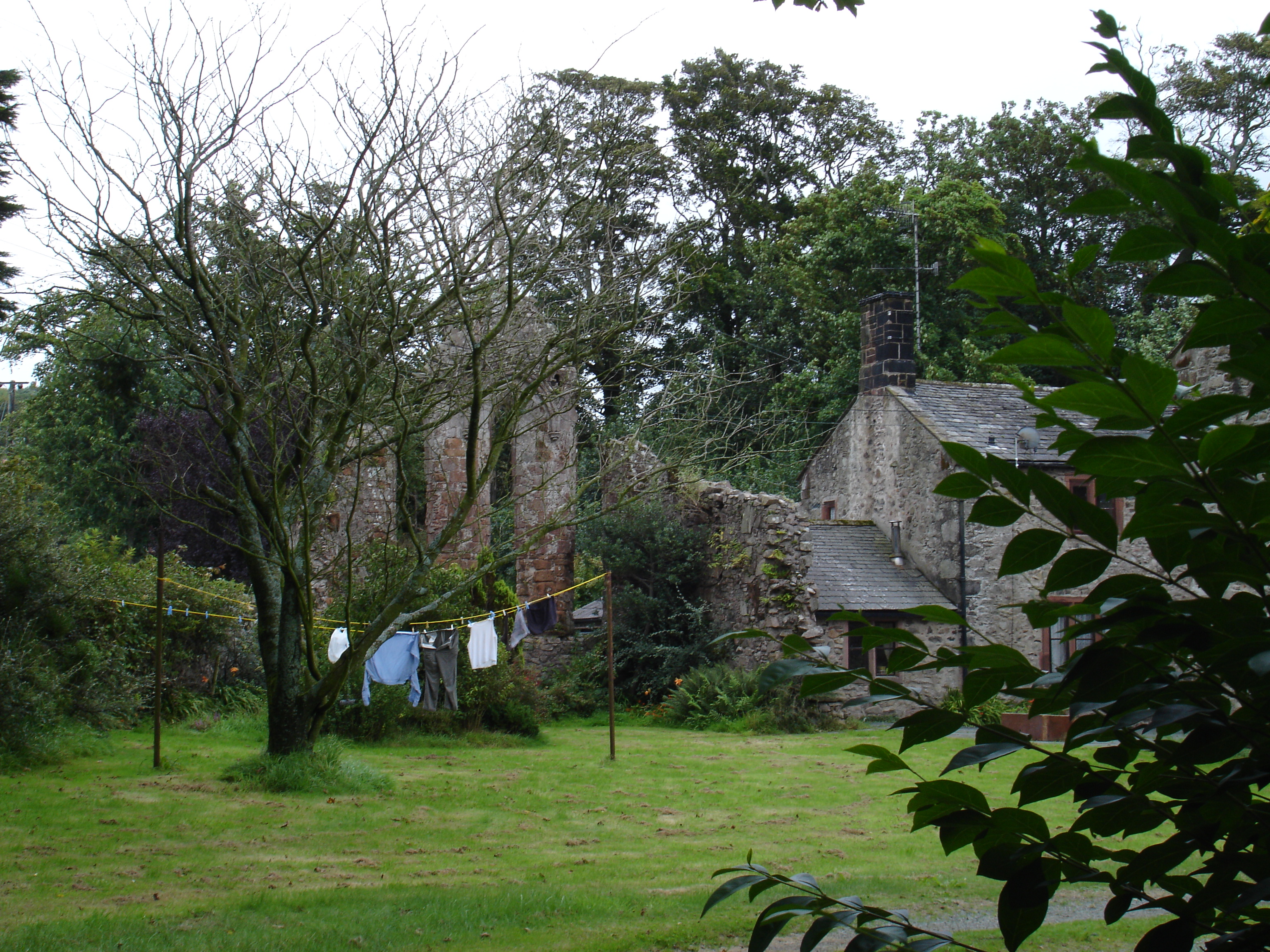
Seaton Priory
Originally called the nunnery of Lekeley from the name of the land it was built upon, the former nunnery of Seaton is to the north of the parish of Bootle...
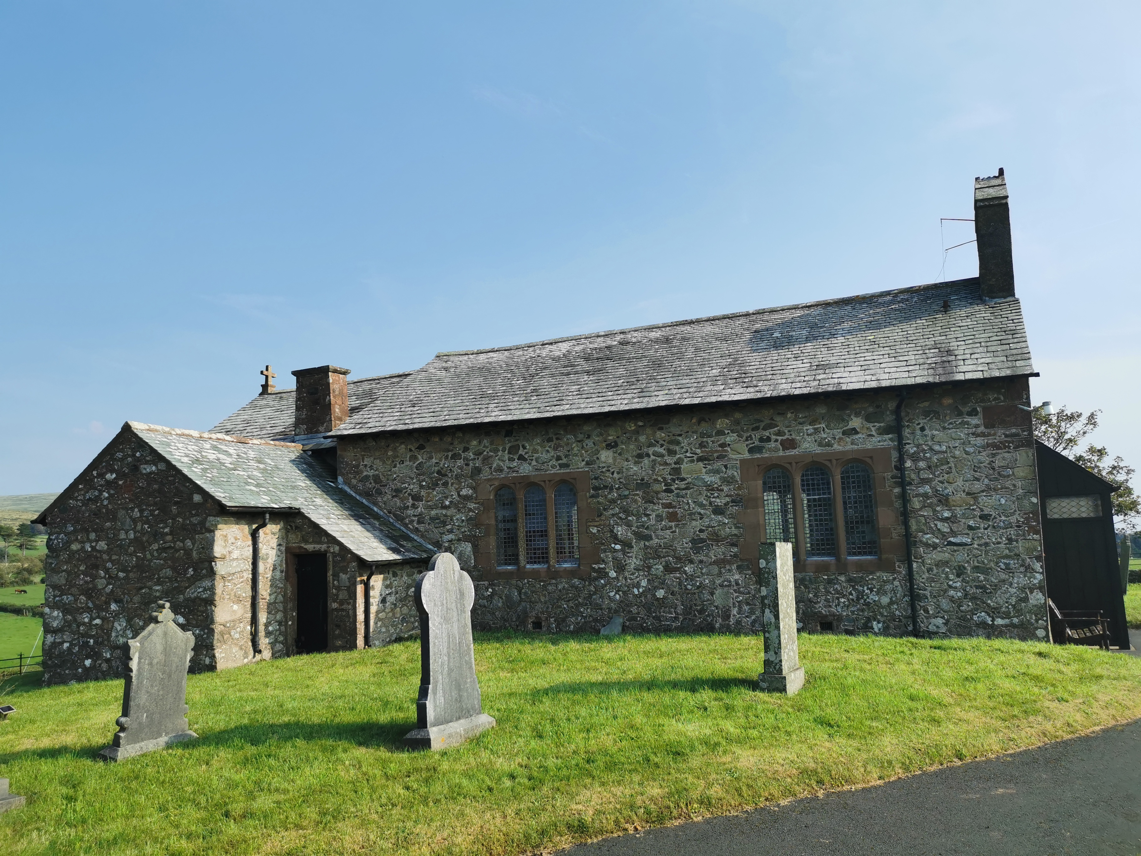
St John the Baptist, Corney
St John the Baptist, is in Corney, Cumbria, England. It is an Anglican parish church in the deanery of Calder, and the diocese of Carlisle. Its benefice...
Whitfell
Whitfell (or sometimes Whit Fell) is a hill of 573 metres (1,880 ft) in the southwestern part of the Lake District. It is the highest point between Black...
Nearby Amenities
Located within 500m of 54.287002,-3.3214363Have you been to Bootle Fell?
Leave your review of Bootle Fell below (or comments, questions and feedback).