Bodfach Park
Downs, Moorland in Montgomeryshire
Wales
Bodfach Park
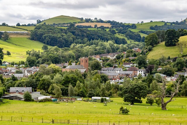
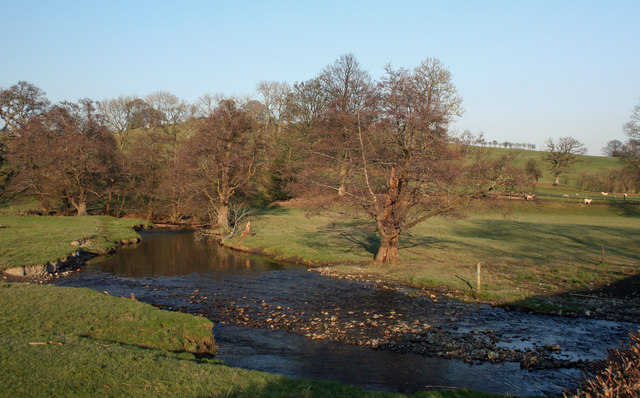
Bodfach Park is a stunning estate located in the county of Montgomeryshire, Wales. The park spans a vast area, encompassing both downs and moorland landscapes. With its idyllic setting and natural beauty, it serves as a popular destination for nature enthusiasts and outdoor enthusiasts alike.
Nestled amidst rolling hills and lush greenery, Bodfach Park offers breathtaking views of the surrounding countryside. The downs section of the park is characterized by its wide, open spaces and gently sloping terrain, making it ideal for leisurely walks and picnics. Visitors can enjoy the peacefulness of this area while taking in the panoramic vistas that stretch as far as the eye can see.
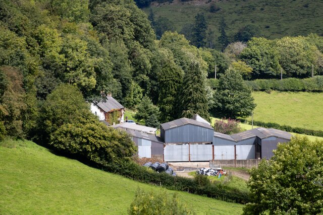
The moorland section of Bodfach Park boasts a more rugged and wild landscape. Here, visitors can explore the heather-covered hills and experience the untamed beauty of the Welsh countryside. The moors are home to an array of flora and fauna, including various bird species, small mammals, and rare plants that thrive in this unique ecosystem.
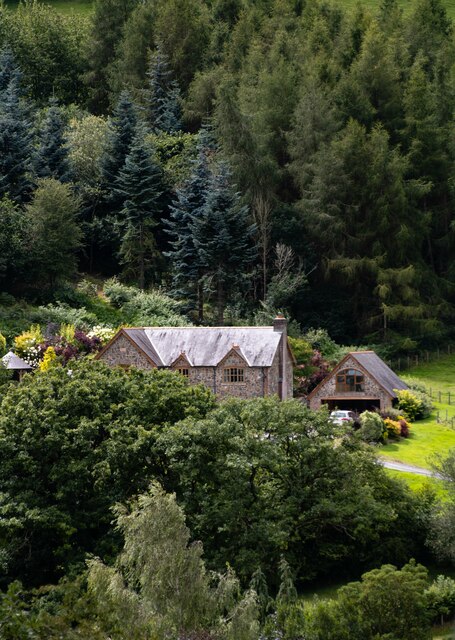
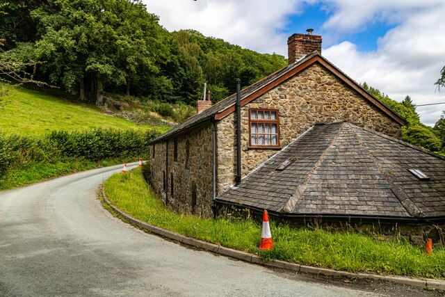
In addition to its natural wonders, Bodfach Park also features a historic mansion. The mansion, which dates back to the 17th century, is a fine example of Georgian architecture and provides a glimpse into the region's rich history. Visitors can take guided tours of the mansion, marvel at its exquisite interior design, and learn about the fascinating stories of its past occupants.
Overall, Bodfach Park offers a serene retreat for those seeking to escape the hustle and bustle of everyday life. With its diverse landscapes and rich history, it is a must-visit destination for anyone exploring Montgomeryshire and its surrounding areas.
If you have any feedback on the listing, please let us know in the comments section below.
Bodfach Park Images
Images are sourced within 2km of 52.771819/-3.2766951 or Grid Reference SJ1320. Thanks to Geograph Open Source API. All images are credited.


Bodfach Park is located at Grid Ref: SJ1320 (Lat: 52.771819, Lng: -3.2766951)
Unitary Authority: Powys
Police Authority: Dyfed Powys
What 3 Words
///eruptions.privately.covertly. Near Llanfyllin, Powys
Nearby Locations
Related Wikis

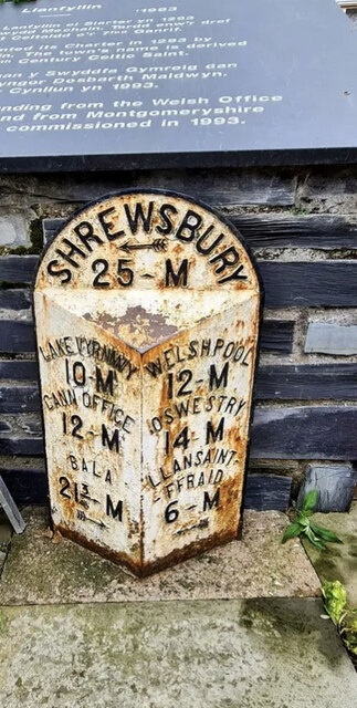
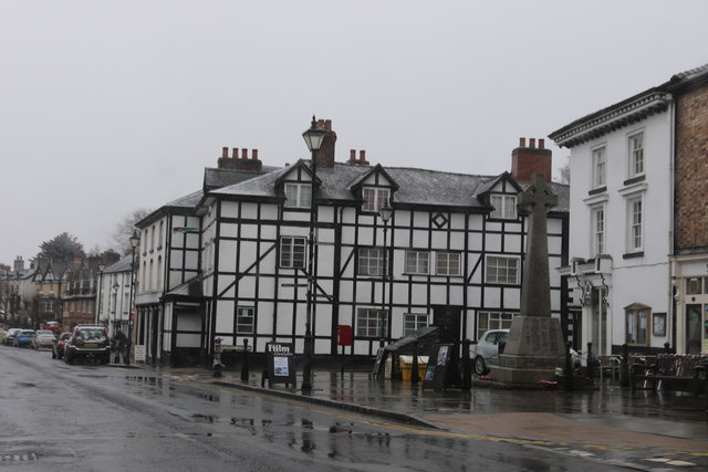
Llanfyllin
Llanfyllin (Welsh pronunciation: [ɬanˈvəɬɪn] – ) is a market town and community in Powys, Wales. The town population in 2021 was 1,586 and the town's...

Bodfach
Bodfach is a hamlet in the community of Llanfyllin, Powys, Wales, which is 89 miles (144 km) from Cardiff and 160 miles (257 km) from London.Nearby Bodfach...
Llanfyllin High School
Llanfyllin High School (Welsh: Ysgol Uwchradd Llanfyllin) was a bilingual secondary school situated in the mid-Wales town of Llanfyllin. As of its final...

Llanfyllin railway station
Llanfyllin railway station is the former terminal station of the Llanfyllin Branch of Cambrian Railways, which served the town of Llanfyllin in Powys,...

Tomen yr Allt
Tomen yr Allt (or Domen yr Allt) was a Medieval motte and bailey defensive castle near Llanfyllin in Powys, Wales. "Tomen ar hallt" is modern Welsh for...
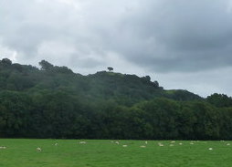
Lonely Tree
The Lonely Tree was a Scots pine on a hill near Llanfyllin, Powys, Wales. Visible from much of the town it was a local landmark with several traditions...

Bryngwyn Halt railway station
Bryngwyn Halt railway station is a disused station that was on the Llanfyllin Branch of the Cambrian Railways. It served the villages of Bwlch-y-cibau...
Afon Iwrch
The Afon Iwrch is a river near Llanrhaeadr-ym-Mochnant in Clwyd, Wales. It is a tributary of the River Tanat and is 8.9 miles (14.4 km) in length. Its...
Nearby Amenities
Located within 500m of 52.771819,-3.2766951Have you been to Bodfach Park?
Leave your review of Bodfach Park below (or comments, questions and feedback).