Hale
Settlement in Kent Thanet
England
Hale

Hale is a small village located in the county of Kent, England. Situated in the rural district of Swale, Hale is nestled in the midst of picturesque landscapes and is surrounded by rolling hills and lush green fields. The village is situated approximately 4 miles southwest of the town of Faversham and lies within close proximity to the A251 road, providing easy access to other nearby towns and cities.
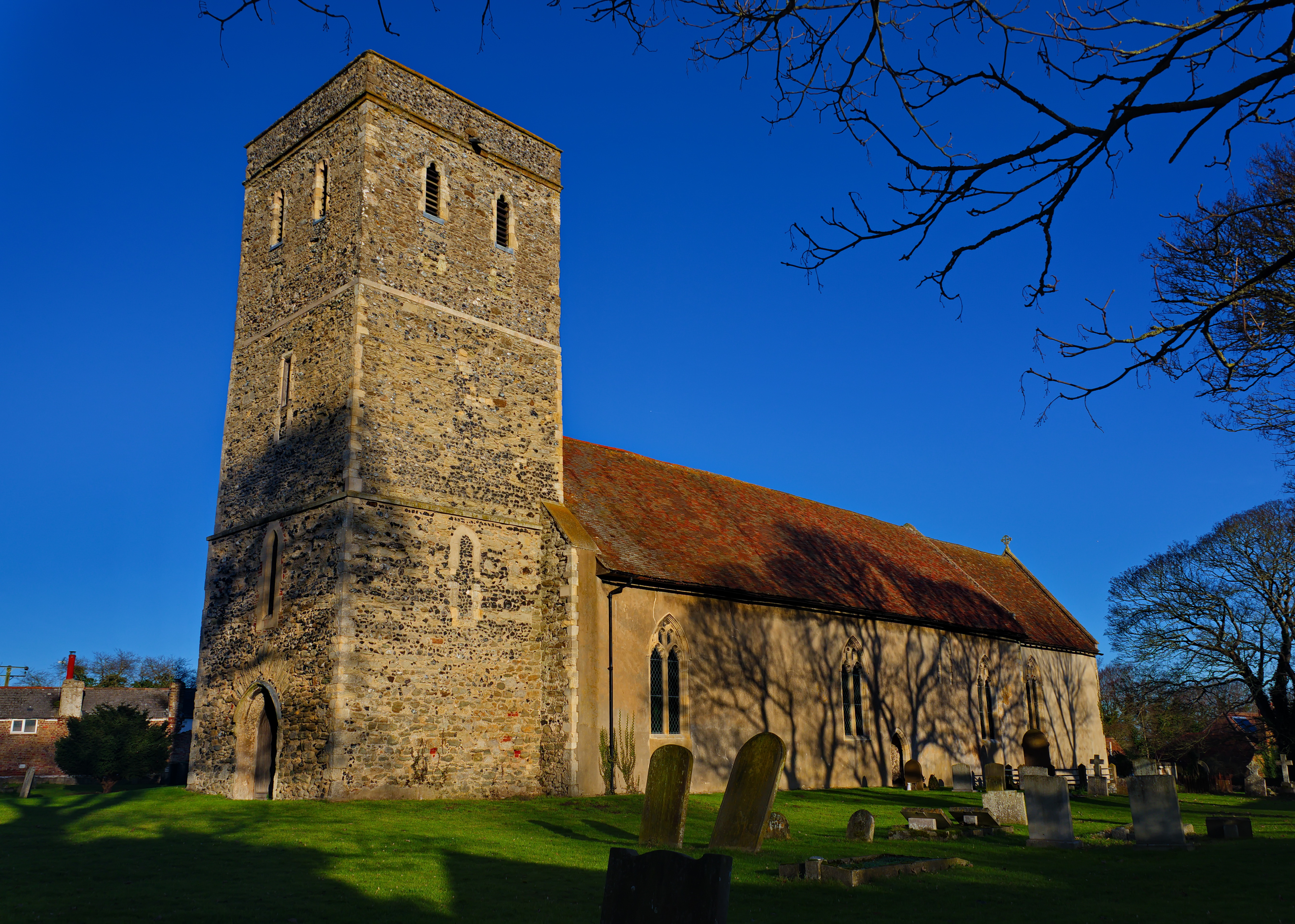
Hale is known for its tranquil and idyllic setting, making it an appealing destination for those seeking a peaceful retreat from the bustling city life. The village is characterized by its charming traditional cottages, many of which are built from local materials, such as flint and Kentish ragstone. These buildings, along with the village church, contribute to the historic and architectural charm of Hale.
In terms of amenities, Hale offers a limited number of facilities. There is a local pub, which serves as a gathering place for both residents and visitors, as well as a village hall that hosts community events and activities. The nearby town of Faversham provides additional amenities, including shops, restaurants, and schools.
The surrounding countryside offers ample opportunities for outdoor activities, such as hiking, cycling, and horseback riding. The village is also conveniently located near the Kent Downs Area of Outstanding Natural Beauty, providing access to stunning landscapes and scenic walking routes.
Overall, Hale provides a serene and picturesque setting, making it an attractive destination for those seeking a rural escape in the heart of Kent.
If you have any feedback on the listing, please let us know in the comments section below.
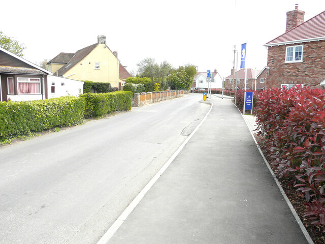
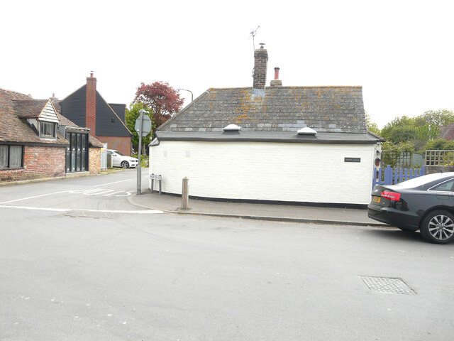
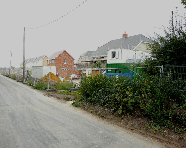
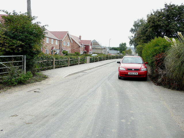
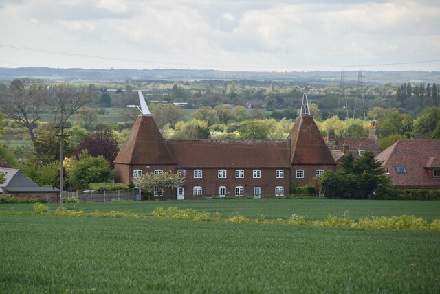
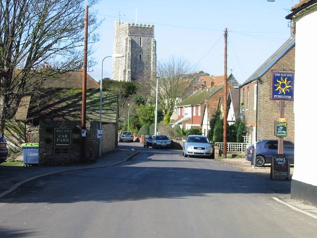
Hale Images
Images are sourced within 2km of 51.356296/1.2733201 or Grid Reference TR2867. Thanks to Geograph Open Source API. All images are credited.


Hale is located at Grid Ref: TR2867 (Lat: 51.356296, Lng: 1.2733201)
Administrative County: Kent
District: Thanet
Police Authority: Kent
What 3 Words
///fans.hiked.straying. Near Birchington-on-Sea, Kent
Nearby Locations
Related Wikis
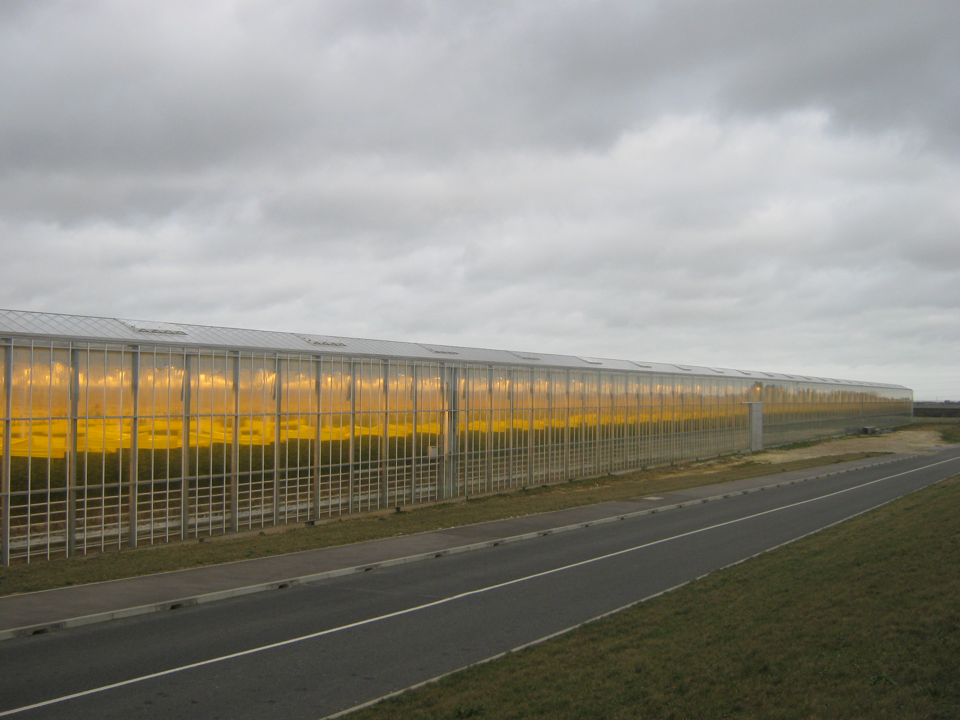
Thanet Earth
Thanet Earth is a large industrial agriculture and plant factory project consortium on the Isle of Thanet in Kent, England. It is the largest greenhouse...
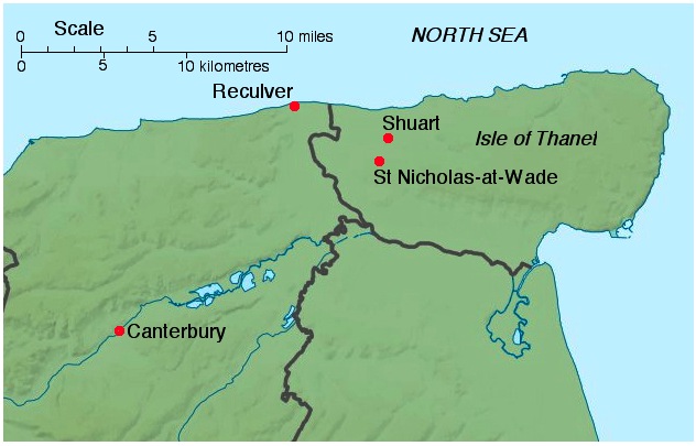
All Saints' Church, Shuart
All Saints' Church, Shuart (), in the north-west of the Isle of Thanet, Kent, in the south-east of England, was established in the Anglo-Saxon period as...
St Nicholas-at-Wade
St Nicholas-at-Wade (or St Nicholas) is both a village and a civil parish in the Thanet District of Kent, England. The parish had a recorded population...

Brooks End
Brooks End is a hamlet assimilated with Birchington, in Kent, England, and 1 mile (2 km) southwest of the village's centre. It is in the Thanet local government...
Monkton, Kent
Monkton is a village and civil parish in the Thanet District of Kent, England. The village is located at the south-west edge of the Isle of Thanet and...

North Thanet (UK Parliament constituency)
North Thanet is a constituency in Kent represented in the House of Commons of the UK Parliament since its 1983 creation by Sir Roger Gale, a Conservative...

Thanet Coast
Thanet Coast is an 816.9-hectare (2,019-acre) biological and geological Site of Special Scientific Interest which stretches along the coast between Whitstable...

Acol, Kent
Acol (formerly Acholt) is a hamlet and civil parish in the Thanet District of Kent, England, about 1.5 miles (2.4 km) south of Birchington. It is one of...
Nearby Amenities
Located within 500m of 51.356296,1.2733201Have you been to Hale?
Leave your review of Hale below (or comments, questions and feedback).