Rèidh an Fhìdhleir
Downs, Moorland in Caithness
Scotland
Rèidh an Fhìdhleir

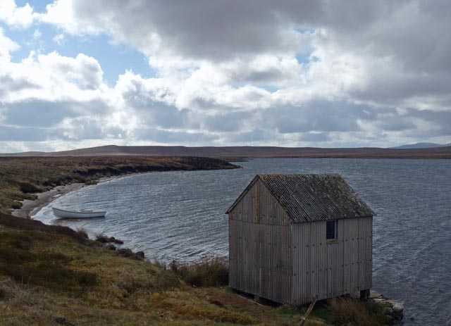
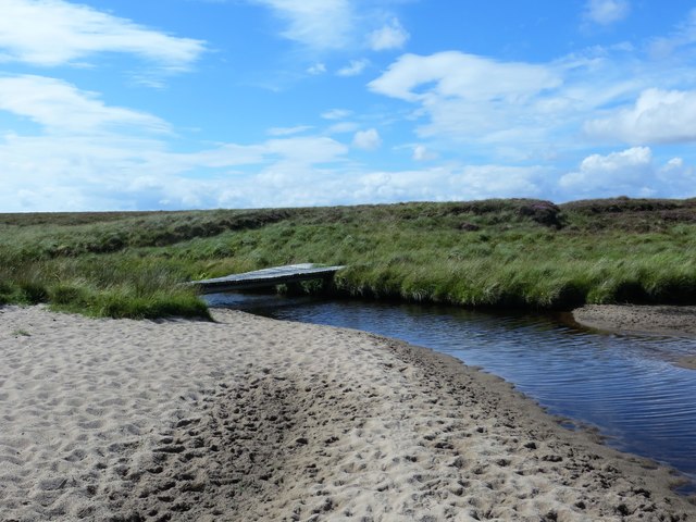
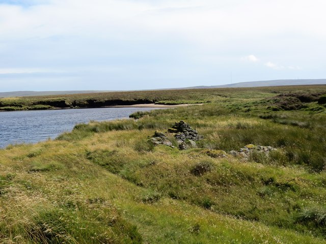
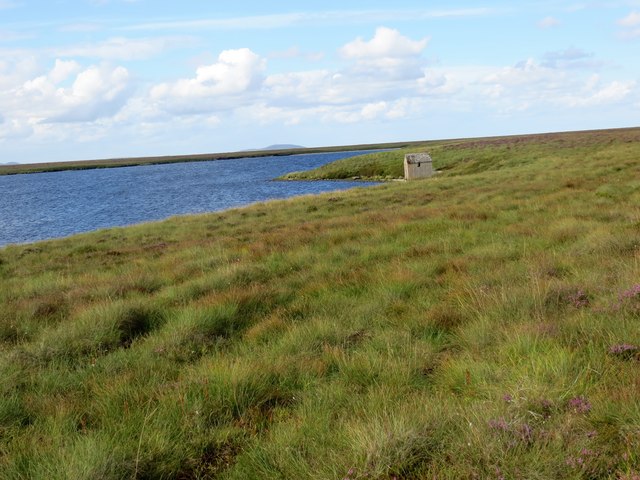
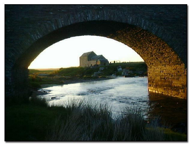
Rèidh an Fhìdhleir, located in Caithness, Scotland, is a stunning region characterized by its picturesque downs and moorland landscapes. The area spans approximately 15 square kilometers and is nestled between the North Sea and the Pentland Firth.
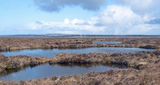
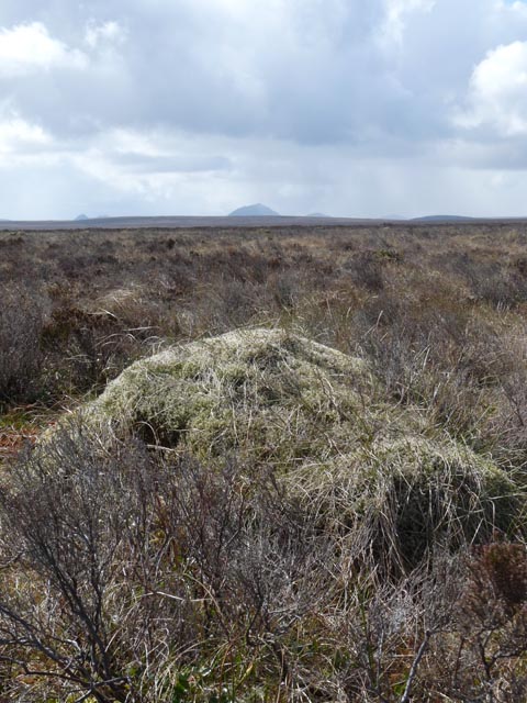
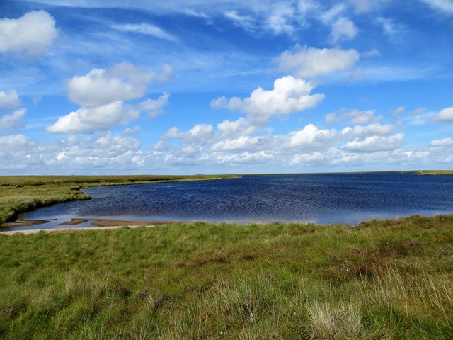
The downs of Rèidh an Fhìdhleir are marked by gently rolling hills covered in lush green grasses and scattered with wildflowers, creating a breathtaking sight during the warmer months. The moorlands, on the other hand, offer a more rugged terrain with heather-covered hills and peat bogs, giving the area a unique and diverse natural beauty.
This region is home to a variety of wildlife, making it a popular destination for nature enthusiasts. Visitors can spot several bird species, including the rare red-throated diver, as well as Arctic terns, fulmars, and puffins. The moorlands provide a habitat for red grouse, hen harriers, and merlins, among others.
Rèidh an Fhìdhleir also holds historical significance, with traces of ancient settlements and archaeological sites dating back thousands of years. The remnants of stone circles and chambered cairns offer a glimpse into the area's rich cultural heritage.
Outdoor activities abound in Rèidh an Fhìdhleir, with opportunities for hiking, birdwatching, and photography. The serene and unspoiled landscapes provide a welcome escape from the hustle and bustle of everyday life, offering visitors a chance to connect with nature and experience the tranquility of the Scottish countryside.
Overall, Rèidh an Fhìdhleir in Caithness is a stunning destination that combines natural beauty, wildlife, and a rich historical heritage, making it a must-visit location for those seeking an authentic Scottish experience.
If you have any feedback on the listing, please let us know in the comments section below.
Rèidh an Fhìdhleir Images
Images are sourced within 2km of 58.361766/-3.4794302 or Grid Reference ND1342. Thanks to Geograph Open Source API. All images are credited.


Rèidh an Fhìdhleir is located at Grid Ref: ND1342 (Lat: 58.361766, Lng: -3.4794302)
Unitary Authority: Highland
Police Authority: Highlands and Islands
What 3 Words
///kneeled.input.emulated. Near Dunbeath, Highland
Nearby Locations
Related Wikis

Achavanich
Achavanich ( ak-ə-VAN-ik; Scottish Gaelic: Achadh a’ Mhanaich) is an unusual megalithic horseshoe-shaped structure near Loch Stemster in Caithness, Scotland...

Caithness
Caithness (Scottish Gaelic: Gallaibh [ˈkal̪ˠɪv]; Scots: Caitnes; Old Norse: Katanes) is a historic county, registration county and lieutenancy area of...

Rumster Forest transmitting station
The Rumster Forest transmitting station is a broadcasting and telecommunications facility near the town of Wick, in Caithness, Scotland (grid reference...

Houstry
Houstry is a scattered crofting village, in the east coast of Dunbeath, Caithness, Scottish Highlands and is in the Scottish council area of Highland.A...

Tormsdale
Tormsdale is a megalithic site on the banks of the River Thurso, in Caithness, Scotland. It is 3 kilometres (1.9 mi) south of Westerdale. The site consists...
Westerdale, Highland
Westerdale (Scottish Gaelic: An Dail Shuas) is a scattered crofting village which lies on the River Thurso, located five miles (eight kilometres) directly...
Have you been to Rèidh an Fhìdhleir?
Leave your review of Rèidh an Fhìdhleir below (or comments, questions and feedback).