Bad nan Glac
Downs, Moorland in Caithness
Scotland
Bad nan Glac

The requested URL returned error: 429 Too Many Requests
If you have any feedback on the listing, please let us know in the comments section below.
Bad nan Glac Images
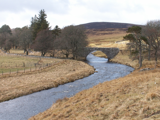
Images are sourced within 2km of 58.254918/-3.5024452 or Grid Reference ND1130. Thanks to Geograph Open Source API. All images are credited.


Bad nan Glac is located at Grid Ref: ND1130 (Lat: 58.254918, Lng: -3.5024452)
Unitary Authority: Highland
Police Authority: Highlands and Islands
What 3 Words
///goods.brightens.caked. Near Dunbeath, Highland
Nearby Locations
Related Wikis

Dunbeath air crash
The Dunbeath air crash involved the loss of a Short S.25 Sunderland Mk. III that crashed in the Scottish Highlands on a headland known as Eagle's Rock...

Balnabruich
Balnabruich (from Scottish Gaelic Baile na Bruaich) is a small hamlet on the east coast of Scotland, close to Dunbeath, Caithness, Scottish Highlands...

Dunbeath
Dunbeath (Scottish Gaelic: Dùn Bheithe) is a village in south-east Caithness, Scotland on the A9 road. It sits astride the Dunbeath Water just before it...
Braemore
Braemore (Scottish Gaelic: Am Bràigh Mòr) is a location in Berriedale in the Highland council area of Scotland. It can be approached from the A9 road at...
Have you been to Bad nan Glac?
Leave your review of Bad nan Glac below (or comments, questions and feedback).