Cogrie Moor

Downs, Moorland in Dumfriesshire

Scotland

Cogrie Moor

Minor road, Castle Knowe Heads west towards the B7020.
Minor road, Castle Knowe Credit: JThomas

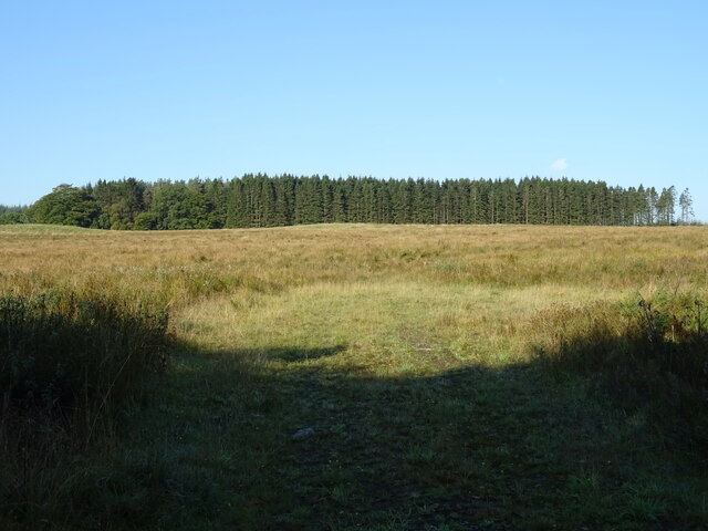
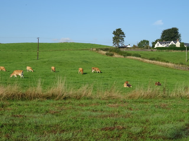
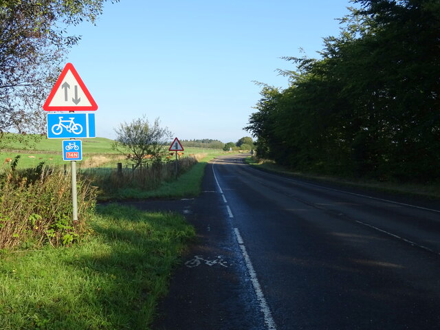
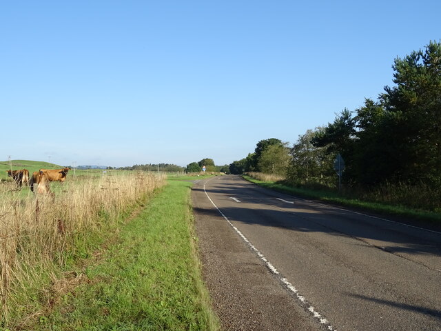
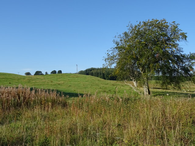
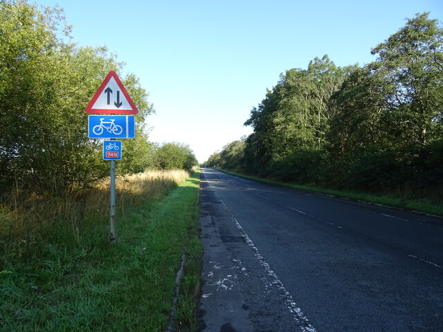
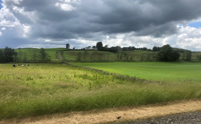
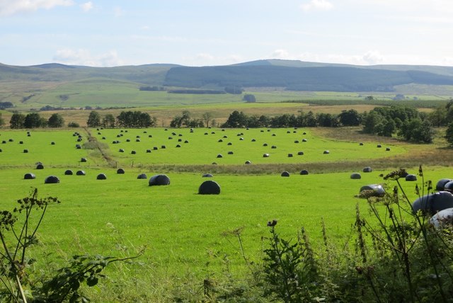
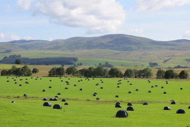
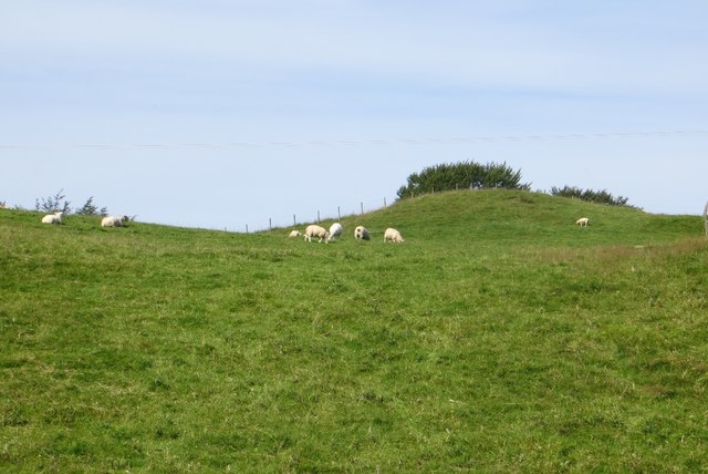
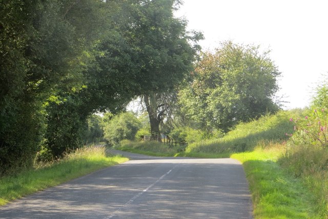
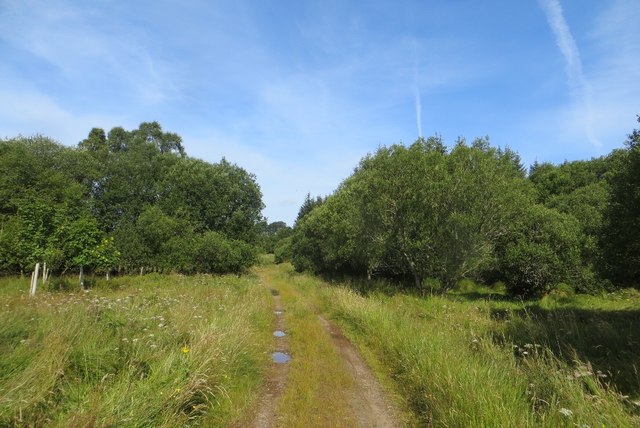
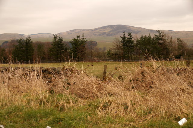
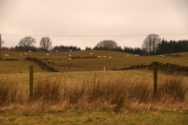
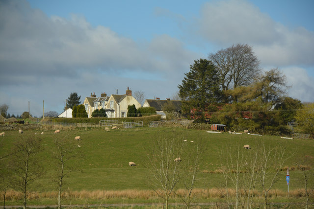
Cogrie Moor is a vast expanse of moorland located in Dumfriesshire, Scotland. Stretching over 1,500 acres, this area is characterized by rolling hills, heathland, and peat bogs. The moor is home to a variety of plant and animal species, including heather, bilberry, and red grouse.

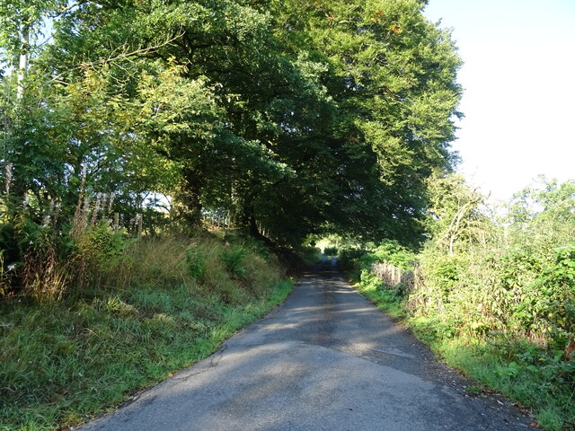
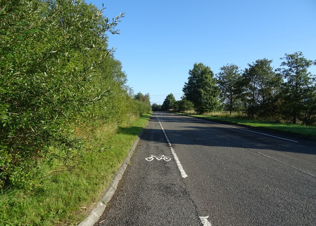
Cogrie Moor is a popular destination for outdoor enthusiasts, offering opportunities for hiking, birdwatching, and nature photography. The moor is crisscrossed by a network of footpaths and trails, allowing visitors to explore its rugged terrain and take in the stunning views of the surrounding countryside.

The moor also has a rich cultural history, with evidence of ancient settlements and burial mounds dating back thousands of years. Visitors can learn about the area's past at the nearby Cogrie Moor Heritage Centre, which offers exhibits and information on the moor's archaeological significance.

Overall, Cogrie Moor is a peaceful and picturesque landscape that offers visitors a chance to connect with nature and immerse themselves in the beauty of the Scottish countryside.

If you have any feedback on the listing, please let us know in the comments section below.

Cogrie Moor Images

Images are sourced within 2km of 55.264394/-3.4246692 or Grid Reference NY0997. Thanks to Geograph Open Source API. All images are credited.

Minor road, Castle Knowe Heads west towards the B7020.
Minor road, Castle Knowe
Heads west towards the B7020.
Cogrie Moor Grassland towards woodland - west of the B7076.
Cogrie Moor
Grassland towards woodland - west of the B7076.
B7076 towards Beattock Heading north on National Cycle Route 74.
B7076 towards Beattock
Heading north on National Cycle Route 74.
Cattle grazing, Newfarm
National Cycle Route 74 towards Beattock B7076 heading north.
National Cycle Route 74 towards Beattock
B7076 heading north.
B7076, Newfarm Towards Beattock.
B7076, Newfarm
Towards Beattock.
Hillside grazing, Mid Murthat
National Cycle Route 74 towards Beattock On the B7076.
National Cycle Route 74 towards Beattock
On the B7076.
Newfarm on Blackrig Hill Under an ominous sky
Newfarm on Blackrig Hill
Under an ominous sky
Gas Distribution Station at Beattock An aerial view. In front are the Beattock-Dumfries [A701] and Beattock-Lochmaben [B7020] roads. Beyond are the A74(M) and B7076 running parallel.
Gas Distribution Station at Beattock
An aerial view. In front are the Beattock-Dumfries [A701] and Beattock-Lochmaben [B7020] roads. Beyond are the A74(M) and B7076 running parallel.
Fields, Stockholm A bit duller than its namesake, silage bales in Annandale.
Fields, Stockholm
A bit duller than its namesake, silage bales in Annandale.
Stockholm, Annandale Silage bales and a view across a wide plain towards the resumption of the Southern Uplands.
Stockholm, Annandale
Silage bales and a view across a wide plain towards the resumption of the Southern Uplands.
Watch Knowes Above the B7020 in Annandale.
Watch Knowes
Above the B7020 in Annandale.
B7020, Lockwood Below Watch Knowes on the quiet direct road between Lochmaben and Beattock.
B7020, Lockwood
Below Watch Knowes on the quiet direct road between Lochmaben and Beattock.
Woodland, Lockwood A track through the long thin wood beside the B7020 in Annandale.
Woodland, Lockwood
A track through the long thin wood beside the B7020 in Annandale.
Fields south of Beattock Looking across the A74(M) towards Craig Hill.
Fields south of Beattock
Looking across the A74(M) towards Craig Hill.
Fields south of Beattock
Dumfries and Galloway : Grassy Field A grassy field and Newfarm seen in Dumfries and Galloway.
Dumfries and Galloway : Grassy Field
A grassy field and Newfarm seen in Dumfries and Galloway.
Show me another place!

Cogrie Moor is located at Grid Ref: NY0997 (Lat: 55.264394, Lng: -3.4246692)

Unitary Authority: Dumfries and Galloway

Police Authority: Dumfries and Galloway

What 3 Words

///printers.runs.lousy. Near Beattock, Dumfries & Galloway

Related Wikis

Lochwood Tower

Lochwood Tower, also known as Lochwood Castle, is a ruined 16th-century L-plan tower house situated in Annandale (Valley of the River Annan) about 6 miles...

Wamphray railway station

Wamphray railway station served Newton Wamphray, near Beattock, in the Scottish county of Dumfries and Galloway. It was served by local trains on what...

Newton Wamphray

Newton Wamphray is a village in Dumfries and Galloway. Wamphray is the name of the surrounding parish and of the Wamphray Water, which flows south-west...

Kirkpatrick-Juxta

Kirkpatrick-Juxta is a parish in Dumfries and Galloway on the A701, between Biggar, Moffat and Lockerbie. The parish straddles the main road A74 (M). It...

Nearby Amenities

Located within 500m of 55.264394,-3.4246692
Power: pole
Lat/Long: 55.2623764/-3.41788
Power: pole
Lat/Long: 55.2630795/-3.4181582
Power: pole
Lat/Long: 55.2635683/-3.4187095
Power: pole
Lat/Long: 55.2640967/-3.4193071
Power: pole
Lat/Long: 55.2645238/-3.4198017
Power: pole
Lat/Long: 55.2653311/-3.4203117
Power: pole
Lat/Long: 55.2660238/-3.4207573
Power: pole
Lat/Long: 55.2667268/-3.4212133
Power: pole
Lat/Long: 55.2674049/-3.4216306
Power: pole
Lat/Long: 55.2680829/-3.4220582
The data included in this document is from www.openstreetmap.org. The data is made available under ODbL.

Have you been to Cogrie Moor?

Leave your review of Cogrie Moor below (or comments, questions and feedback).