Achscrabster Moss
Downs, Moorland in Caithness
Scotland
Achscrabster Moss

Achscrabster Moss is a picturesque area located in Caithness, Scotland. It is a unique and diverse landscape, characterized by downs and moorland. The moss is situated near the village of Achscrabster, which lies on the northeastern coast of the county.
The downs of Achscrabster Moss are rolling hills covered in grass and heather, offering stunning panoramic views of the surrounding countryside. The area is home to a variety of plant species, including wildflowers and shrubs, which add to its natural beauty. The downs provide habitat for numerous bird species, making it a popular spot for birdwatchers.
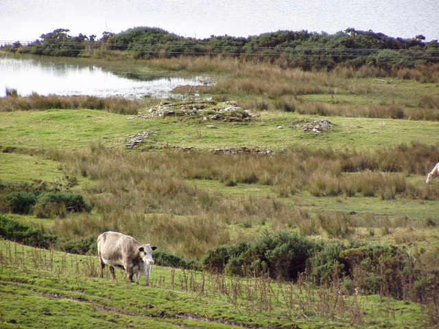
Adjacent to the downs is the moorland, characterized by vast expanses of open land covered in heather and peat. The moorland is dotted with small lochs, adding to its scenic appeal. It is a haven for wildlife, with deer, rabbits, and various bird species thriving in this habitat.
Achscrabster Moss is a paradise for outdoor enthusiasts, offering opportunities for hiking, walking, and wildlife observation. The area is crisscrossed with walking trails, allowing visitors to explore its diverse landscapes and enjoy the tranquility of nature. The moss is also a popular destination for photographers, who are drawn to its rugged beauty and ever-changing colors throughout the seasons.
Overall, Achscrabster Moss is a captivating natural area in Caithness, offering a mix of downs and moorland landscapes. Its diverse flora and fauna, coupled with its breathtaking views, make it a must-visit destination for nature lovers and those seeking a peaceful retreat in the Scottish Highlands.
If you have any feedback on the listing, please let us know in the comments section below.
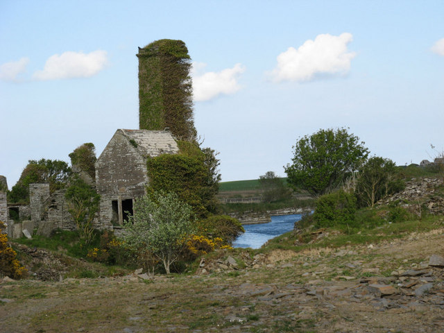
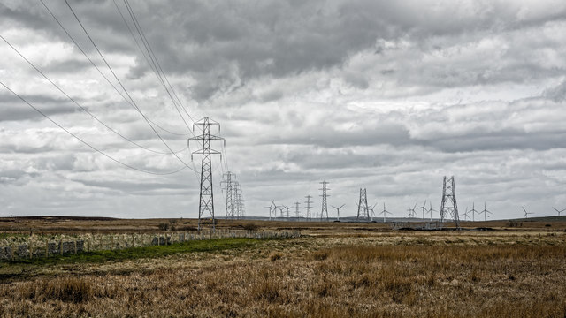
Achscrabster Moss Images
Images are sourced within 2km of 58.545723/-3.567641 or Grid Reference ND0863. Thanks to Geograph Open Source API. All images are credited.


Achscrabster Moss is located at Grid Ref: ND0863 (Lat: 58.545723, Lng: -3.567641)
Unitary Authority: Highland
Police Authority: Highlands and Islands
What 3 Words
///swarm.revamped.trails. Near Thurso, Highland
Nearby Locations
Related Wikis
Tulach an t-Sionnaich
Tulach an t-Sionnaich ("Mountain of the Fox"), is a cairn at the northern end of Loch Calder in Caithness, Scotland that has been expanded over time. It...

Westfield, Highland
Westfield (Scottish Gaelic: An t-Achadh Siar) is a remote village, located 3 miles southeast of Thurso, in Caithness, Scottish Highlands and is in the...

Loch Calder
Loch Calder is a lowland freshwater loch lying approximately 5 mi (8.0 km) south west of Thurso in the Scottish Highlands. The loch is large with an irregular...
Newlands of Geise
Newlands of Geise is a scattered hamlet. It lies to the south west of Thurso in Caithness in the Scottish Highlands and is in the Scottish council area...

Dunbar Hospital, Thurso
Dunbar Hospital is a health facility in Ormlie Road, Thurso, Scotland. It is managed by NHS Highland. == History == The facility, which financed by a legacy...
Shalmstry
Shalmstry is a small settlement in Caithness, Scotland. It is just under 3 miles (5 kilometres) south of Thurso. It is located off the A9 and is remote...
North Highland College
North Highland College (Scottish Gaelic: Colaiste na Gàidhealtachd a Tuath) provides further education and higher education in the north of Scotland through...

Weydale
Weydale (Scottish Gaelic: valley of the way) is a remote scattered crofting settlement, lying 3 miles southeast of Thurso, Caithness, Scottish Highlands...
Have you been to Achscrabster Moss?
Leave your review of Achscrabster Moss below (or comments, questions and feedback).