Tordale Park

Downs, Moorland in Caithness

Scotland

Tordale Park

Track over Lythmore Moss leading to the slate quarries
Track over Lythmore Moss leading to the slate quarries Credit: John Ferguson

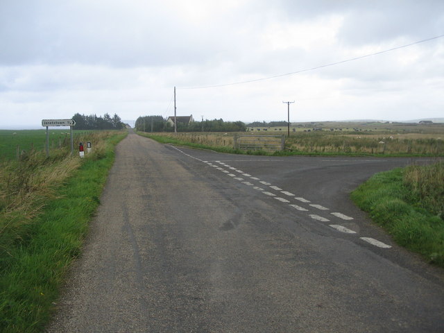
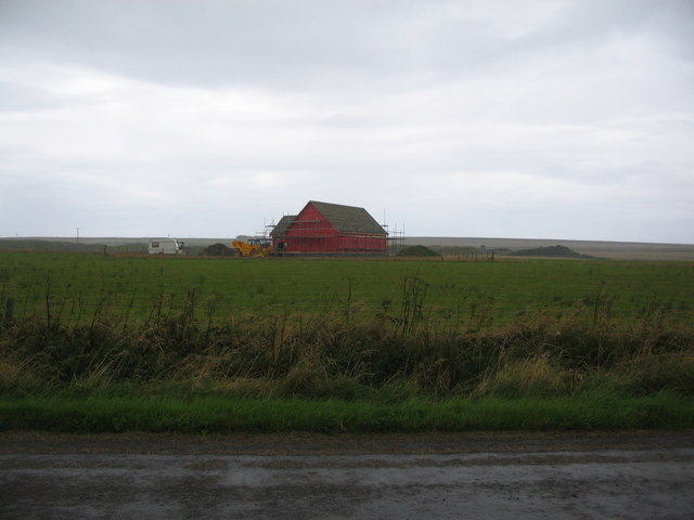
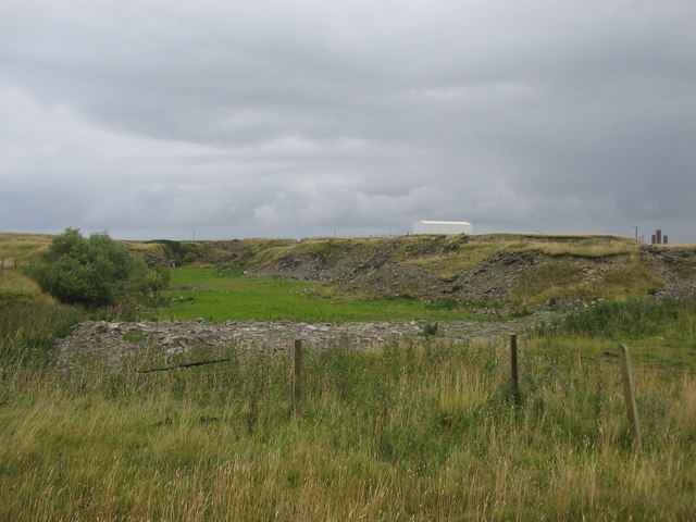
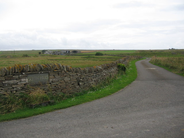
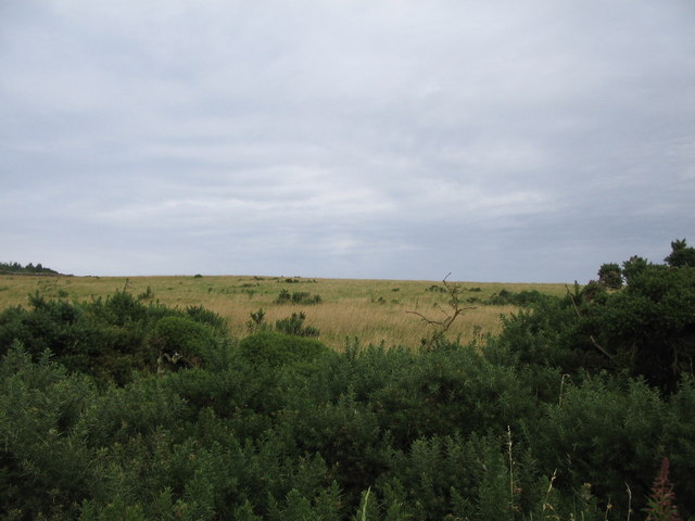
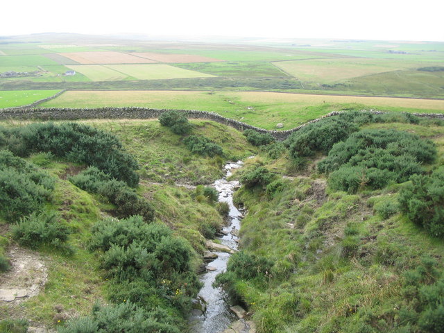
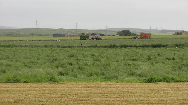
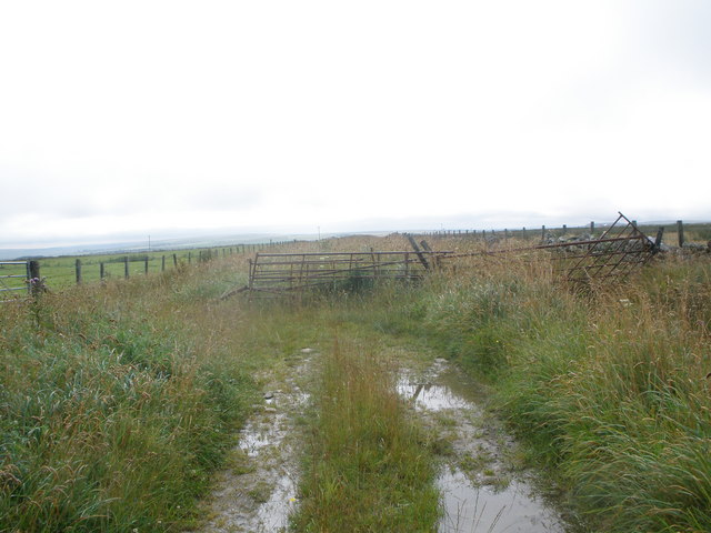
Tordale Park is a picturesque nature reserve located in the county of Caithness, Scotland. Spanning over vast acres of land, the park is known for its diverse landscapes, encompassing downs, moorland, and various other natural habitats. It offers visitors a unique opportunity to explore the stunning beauty of the Scottish countryside.

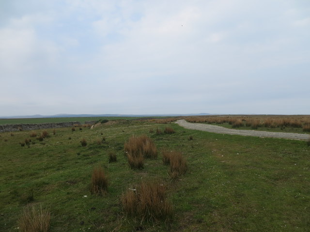
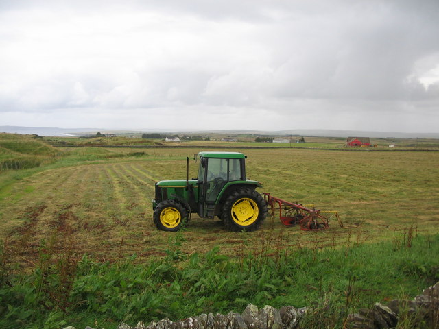
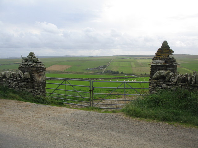
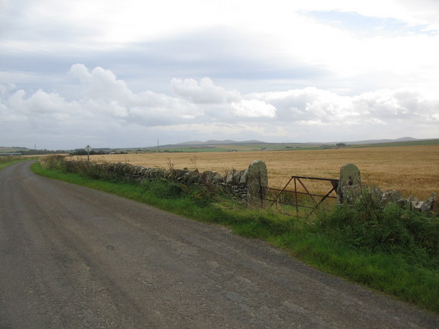
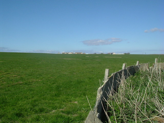
The downs in Tordale Park are characterized by gently rolling hills covered in lush green grasses. These open spaces provide a tranquil setting for leisurely walks and picnics, allowing visitors to soak in the serenity of the surroundings. The downs are home to a variety of plant and animal species, including wildflowers and grazing livestock.

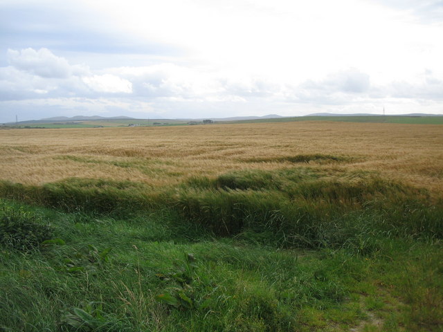
The moorland in Tordale Park is a captivating sight, with its expansive stretches of heather-covered terrain. This landscape offers a rich tapestry of colors, ranging from vibrant purples to earthy browns. Moorland birds, such as grouse and curlews, can often be spotted here, adding to the park's natural charm.

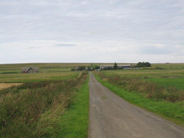
Tordale Park also boasts several well-maintained walking trails, allowing visitors to explore the diverse habitats and experience the park's beauty up close. These trails cater to different levels of fitness, ensuring that everyone can enjoy the park at their own pace.

With its stunning downs, captivating moorland, and an abundance of natural beauty, Tordale Park in Caithness is a haven for nature lovers and outdoor enthusiasts alike. Its serene atmosphere and diverse landscapes make it an ideal destination for those seeking a peaceful retreat in the heart of Scotland's scenic countryside.

If you have any feedback on the listing, please let us know in the comments section below.

Tordale Park Images

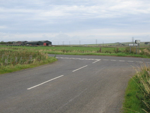
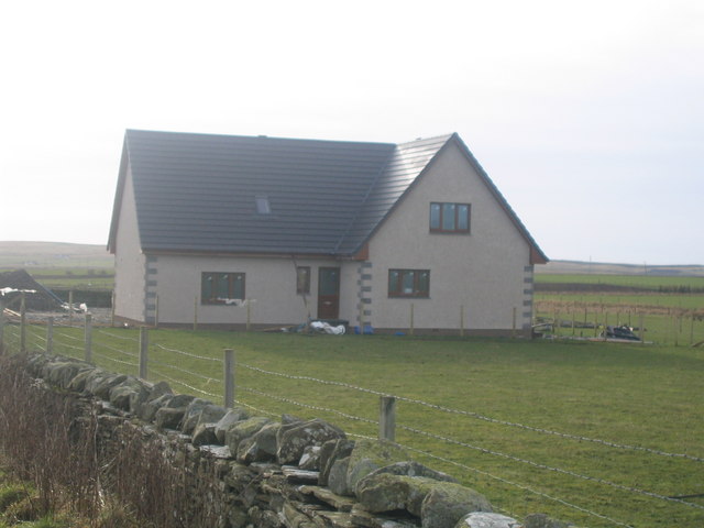
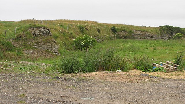
Images are sourced within 2km of 58.576924/-3.6036552 or Grid Reference ND0666. Thanks to Geograph Open Source API. All images are credited.

Track over Lythmore Moss leading to the slate quarries
Junction for Janetstown A view looking to the northeast along the lane from Longland, towards the junction of the lane to Janetstown.
Junction for Janetstown
A view looking to the northeast along the lane from Longland, towards the junction of the lane to Janetstown.
New build at Longland A view looking to the north towards a new building being erected at Longland.
New build at Longland
A view looking to the north towards a new building being erected at Longland.
Farmland near Hopefield A view looking to the east across farmland near Hopefield. The red structure at right is a new building being erected at Longland.
Farmland near Hopefield
A view looking to the east across farmland near Hopefield. The red structure at right is a new building being erected at Longland.
Disused quarry near Newlands of Geise A view looking to the east towards a disused quarry near Newlands of Geise.
Disused quarry near Newlands of Geise
A view looking to the east towards a disused quarry near Newlands of Geise.
Lane to South Waas A view looking to the southwest along the lane to South Waas farm.
Lane to South Waas
A view looking to the southwest along the lane to South Waas farm.
Cairnmore Hillock A view looking to the east up the slope of Cairnmore Hillock
Cairnmore Hillock
A view looking to the east up the slope of Cairnmore Hillock
Breas of Brimside A view looking to the west down the sourse of a small burn at the Braes of Brimside.
Breas of Brimside
A view looking to the west down the sourse of a small burn at the Braes of Brimside.
Lythmore Strath A view looking to the southwest through some gatepost made of Sutherland flagstone, towards Lythmore Strath
Lythmore Strath
A view looking to the southwest through some gatepost made of Sutherland flagstone, towards Lythmore Strath
Field entrance in Lythmore Strath A view looking to the south towards an entrance into a crop field in Lythmore Strath.
Field entrance in Lythmore Strath
A view looking to the south towards an entrance into a crop field in Lythmore Strath.
Crop field in Lythmore Strath A view looking to the southwest across a crop field in Lythmore Strath
Crop field in Lythmore Strath
A view looking to the southwest across a crop field in Lythmore Strath
Oust Farm A view looking to the northeast towards Oust Farm.
Oust Farm
A view looking to the northeast towards Oust Farm.
Junction near Westfield A view looking to the southeast towards a junction near Westfield. The road ahead is national cycle route 1. The buildings at left are at Bardnaclavan Farm.
Junction near Westfield
A view looking to the southeast towards a junction near Westfield. The road ahead is national cycle route 1. The buildings at left are at Bardnaclavan Farm.
House at Newlands of Geise Janetstown New build house
House at Newlands of Geise Janetstown
New build house
View to north
View to north
Quarry, Janetstown Flagstone quarry, now disused. A lot of pavements originated here. While Caithness supplied the stones, it is apparent that the bears that deal with crack stepping miscreants came from elsewhere.
Quarry, Janetstown
Flagstone quarry, now disused. A lot of pavements originated here. While Caithness supplied the stones, it is apparent that the bears that deal with crack stepping miscreants came from elsewhere.
Harvesting silage, Bardnaclavan Gathering winter fodder on flat grassland.
Harvesting silage, Bardnaclavan
Gathering winter fodder on flat grassland.
Farm track near Janetstown
Show me another place!

Tordale Park is located at Grid Ref: ND0666 (Lat: 58.576924, Lng: -3.6036552)

Unitary Authority: Highland

Police Authority: Highlands and Islands

What 3 Words

///shrimps.intrigued.sliders. Near Thurso, Highland

Nearby Locations

Tordale Park

Related Wikis

Westfield, Highland

Westfield (Scottish Gaelic: An t-Achadh Siar) is a remote village, located 3 miles southeast of Thurso, in Caithness, Scottish Highlands and is in the...

Forss, Highland

Forss is a small hamlet, situated 3 miles west of Thurso, in Caithness, Scottish Highlands and is in the Scottish council area of Highland. Brims Castle...

Newlands of Geise

Newlands of Geise is a scattered hamlet. It lies to the south west of Thurso in Caithness in the Scottish Highlands and is in the Scottish council area...

Wolfburn distillery

Wolfburn distillery is a Scotch whisky distillery in Thurso, Caithness, Scotland. After ceasing production in the 1860s, a new distillery of the same name...

Have you been to Tordale Park?

Leave your review of Tordale Park below (or comments, questions and feedback).