Flat Fell
Downs, Moorland in Cumberland Copeland
England
Flat Fell
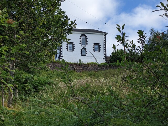
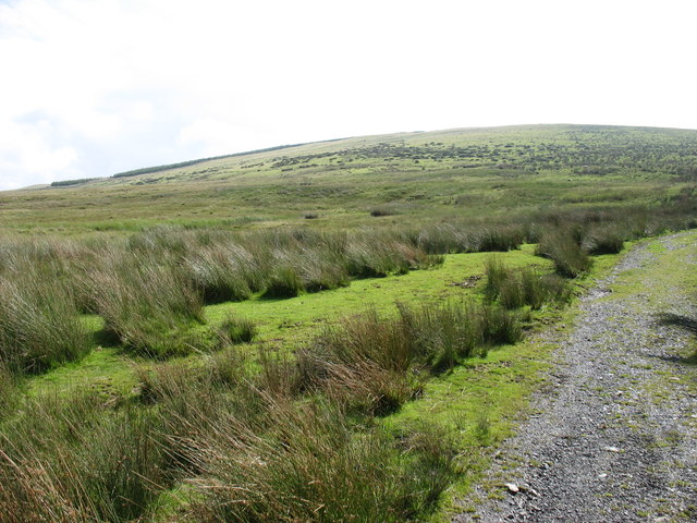
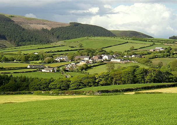
Flat Fell is a prominent hill located in the county of Cumberland, England. Situated in the Lake District National Park, it forms part of the picturesque landscape of the region. The hill is characterized by its flat summit, which gives it its name and distinguishes it from the surrounding fells.
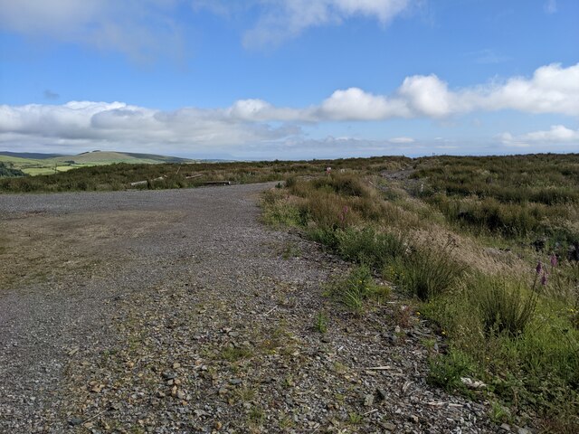
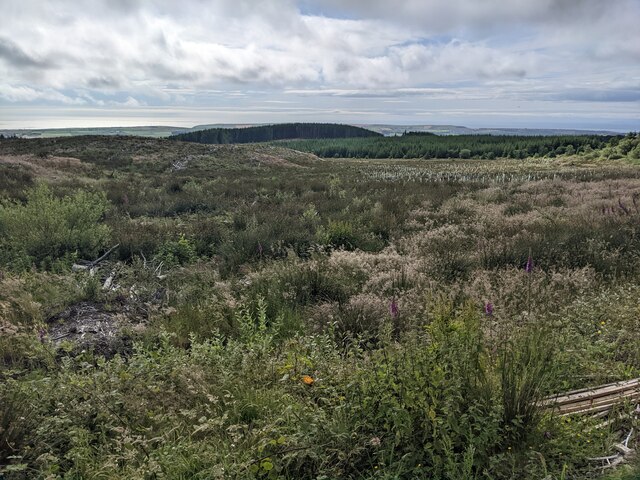
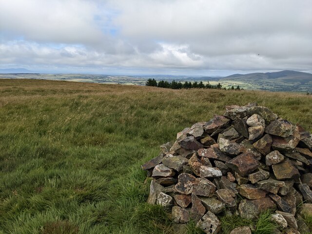
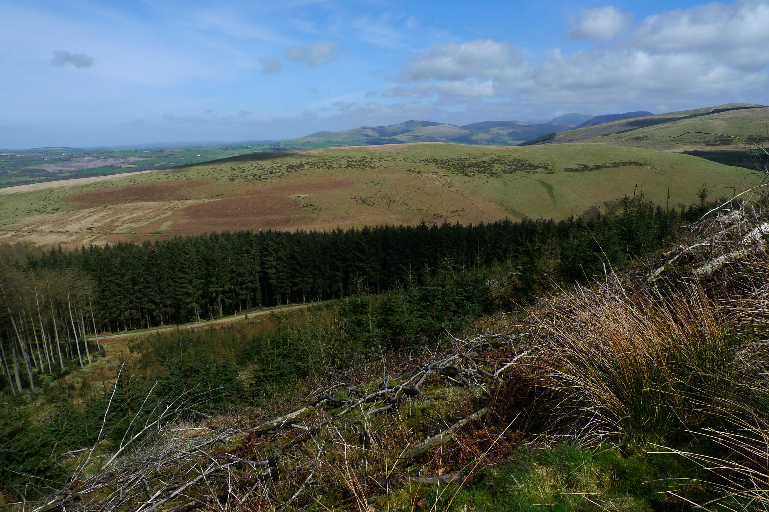
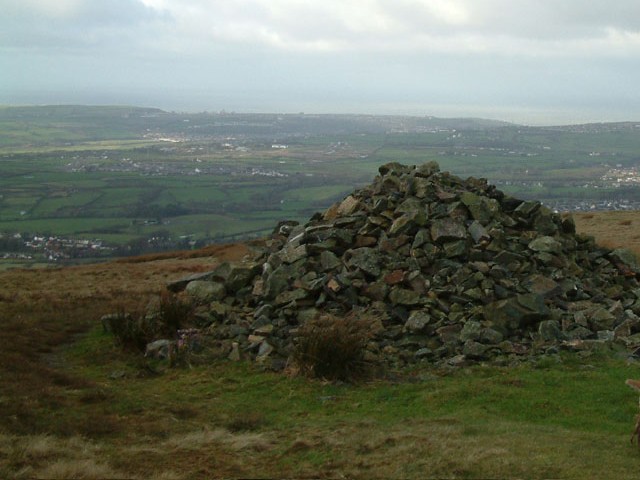
Rising to an elevation of 272 meters (892 feet), Flat Fell offers stunning panoramic views of the surrounding countryside, including the nearby towns of Egremont and Cleator Moor. The hill is covered in lush green vegetation and is crisscrossed by a network of footpaths, making it a popular destination for walkers and hikers.
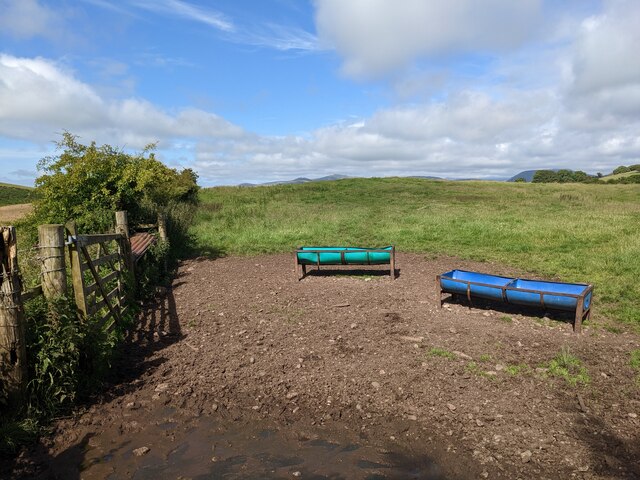
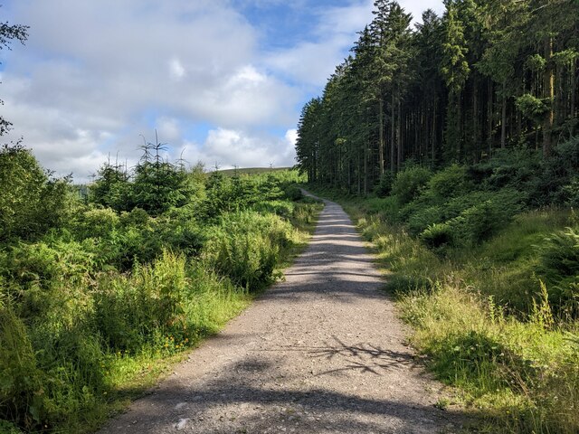
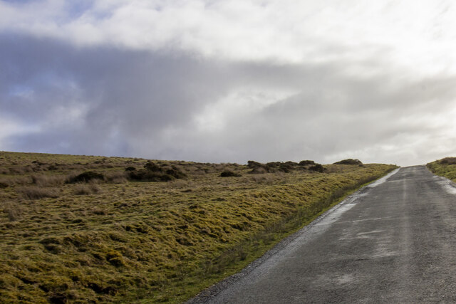
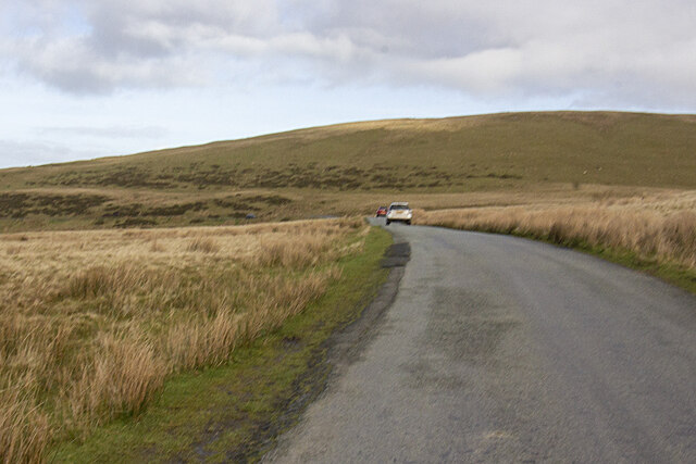
The terrain of Flat Fell is a mix of open moorland, with patches of heather and grasses, and some areas of woodland. The hill is home to a variety of wildlife, including birds such as skylarks and curlews, and mammals like rabbits and deer. The diverse flora and fauna make it an excellent spot for nature enthusiasts and birdwatchers.
The summit of Flat Fell provides a tranquil and peaceful setting, with ample space for visitors to relax and enjoy a picnic while taking in the breathtaking scenery. On a clear day, it is possible to see the Irish Sea and the distant peaks of the Lake District mountains.
Overall, Flat Fell offers a serene and picturesque escape, providing visitors with the opportunity to immerse themselves in the natural beauty of the Cumberland countryside.
If you have any feedback on the listing, please let us know in the comments section below.
Flat Fell Images
Images are sourced within 2km of 54.50818/-3.4659377 or Grid Reference NY0513. Thanks to Geograph Open Source API. All images are credited.


Flat Fell is located at Grid Ref: NY0513 (Lat: 54.50818, Lng: -3.4659377)
Administrative County: Cumbria
District: Copeland
Police Authority: Cumbria
What 3 Words
///goggles.modules.shameless. Near Cleator Moor, Cumbria
Related Wikis

Blakeley Raise
Blakeley Raise is a fell in the English Lake District, standing at 389m. Unlike its neighbours Grike, Crag Fell and Lank Rigg it is not listed as a Wainwright...
Flat Fell
Flat Fell is a hill located on the edge of the English Lake District, standing at 272m. It is included in Alfred Wainwright's Outlying Fells of Lakeland...
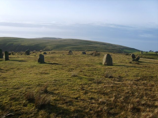
Kinniside Stone Circle
Kinniside Stone Circle (or Blakeley Raise Stone Circle) is a reconstructed stone circle in the civil parish of Ennerdale and Kinniside in Cumbria, England...
Dent (fell)
Dent is a small fell on the fringe of the English Lake District near the towns of Cleator Moor and Egremont. Sometimes known as Long Barrow, it is traditionally...

Frizington railway station
Frizington railway station was built by the Whitehaven, Cleator and Egremont Railway. It served the industrial Parkside area of Frizington, Cumbria, England...
Eskett railway station
Eskett railway station was short-lived as a passenger station. it was built by the Whitehaven, Cleator and Egremont Railway to serve the hamlet of Eskett...
Wilton, Cumbria
Wilton is a hamlet in the Copeland district, in the county of Cumbria, England. It is near the small town of Egremont. In 1870-72 it had a population of...
Ennerdale Bridge
Ennerdale Bridge is a hamlet in the county of Cumbria, England. It is in the civil parish of Ennerdale and Kinniside. It had a total population taken at...
Nearby Amenities
Located within 500m of 54.50818,-3.4659377Have you been to Flat Fell?
Leave your review of Flat Fell below (or comments, questions and feedback).