Bye Moor

Downs, Moorland in Somerset Somerset West and Taunton

England

Bye Moor

White's Farm Fields around White's Farm.
White's Farm Credit: Wayland Smith

Bye Moor, Somerset, located in the southwest of England, is a picturesque area known for its stunning downs and moorland landscapes. Spanning approximately 4,000 acres, this region offers a diverse range of natural beauty and is a haven for outdoor enthusiasts and nature lovers alike.

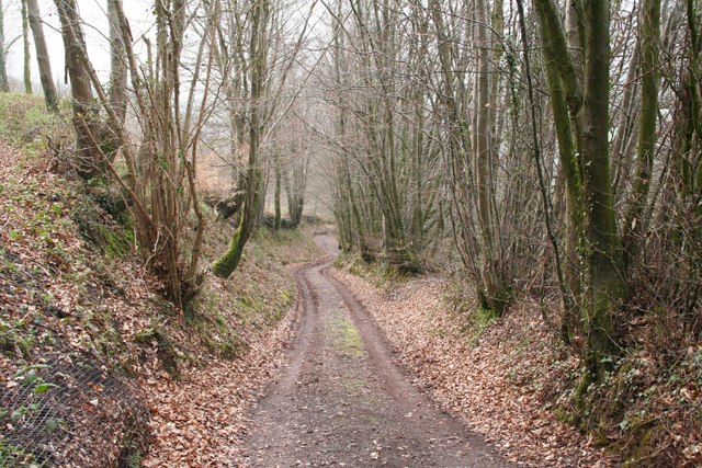
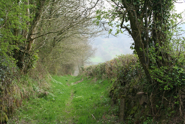
The downs of Bye Moor are characterized by rolling hills, covered in lush green grass and scattered with wildflowers. These open spaces provide breathtaking views of the surrounding countryside, making it a popular destination for hikers, walkers, and cyclists. The moorland, on the other hand, offers a more rugged and wild terrain, with heather-covered hillsides and rocky outcrops. This unique ecosystem is home to a variety of flora and fauna, including rare bird species, such as the Dartford Warbler and the Merlin.

In addition to its natural wonders, Bye Moor is also steeped in history. The area has evidence of human habitation dating back thousands of years, with archaeological sites and ancient monuments dotting the landscape. Visitors can explore the remains of Iron Age hillforts, burial mounds, and even a Roman road that once connected nearby settlements.

For those seeking a tranquil getaway, Bye Moor provides a welcome respite from the hustle and bustle of modern life. The peacefulness and raw beauty of the downs and moorland make it an ideal location for relaxation and reflection. Whether it's a leisurely stroll, a challenging hike, or simply immersing oneself in the natural surroundings, Bye Moor offers a truly rejuvenating experience for all who visit.

If you have any feedback on the listing, please let us know in the comments section below.
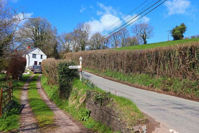
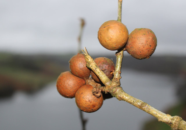
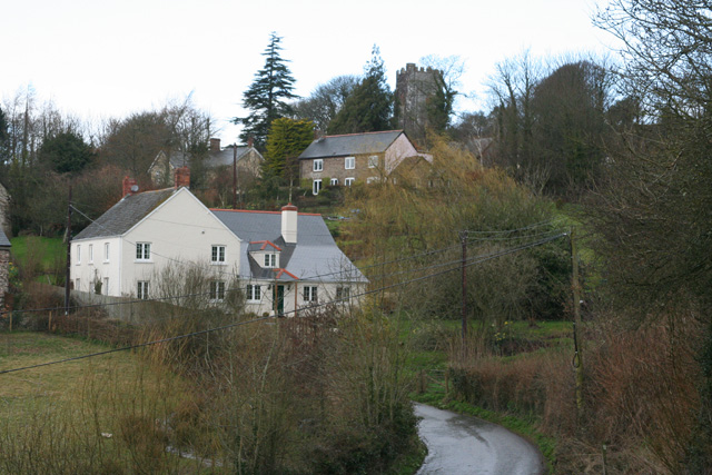
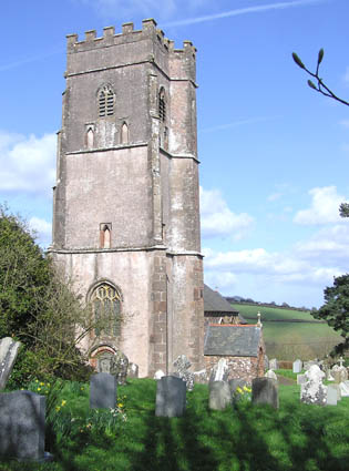
Bye Moor Images

Images are sourced within 2km of 51.052118/-3.3591415 or Grid Reference ST0428. Thanks to Geograph Open Source API. All images are credited.

White's Farm Fields around White's Farm.
White's Farm
Fields around White's Farm.
Minor Road Minor road, new Jews Farm.
Minor Road
Minor road, new Jews Farm.
Jews Lane Minor road junction in Maundown.
Jews Lane
Minor road junction in Maundown.
Road near Maundown Country road near the settlement of Maundown.
Road near Maundown
Country road near the settlement of Maundown.
Tanner's Hill Turning for Huish Moor.
Tanner's Hill
Turning for Huish Moor.
St Peter's Church Church in Huish Champflower.
St Peter's Church
Church in Huish Champflower.
Fields near Maundown View across fields, near Maundown.
Fields near Maundown
View across fields, near Maundown.
Farm Buildings Isolated farm buildings near Maundown.
Farm Buildings
Isolated farm buildings near Maundown.
Oak apples in Waysdown Copse Clatworthy Reservoir beyond.
Oak apples in Waysdown Copse
Clatworthy Reservoir beyond.
SCC Fingerpost at Clatworthy 3 fingered SCC Post.
SCC Fingerpost at Clatworthy
3 fingered SCC Post.
Washbattle Mill Pond Featured here is the mill pond for Washbattle Mill. The Mill is now a pair of Holiday cottages (and very pleasant too)
Washbattle Mill Pond
Featured here is the mill pond for Washbattle Mill. The Mill is now a pair of Holiday cottages (and very pleasant too)
Chipstable: in the Tone valley Woodland seen from the public footpath between Challick Lane and Washbattle Bridge
Chipstable: in the Tone valley
Woodland seen from the public footpath between Challick Lane and Washbattle Bridge
Wiveliscombe: overlooking Challick Cottage In the Tone valley by Bulland Ford; the site of New Mills, one of Wiveliscombe’s fulling mills in 1840. By 1887 the mill was no longer, it’s leat filled in and Challick Cottage was established here
Wiveliscombe: overlooking Challick Cottage
In the Tone valley by Bulland Ford; the site of New Mills, one of Wiveliscombe’s fulling mills in 1840. By 1887 the mill was no longer, it’s leat filled in and Challick Cottage was established here
Chipstable: the village Seen from Pitt Lane; looking north west
Chipstable: the village
Seen from Pitt Lane; looking north west
St. Peter's church, Huish Champflower Looking east from the top of the churchyard.
St. Peter's church, Huish Champflower
Looking east from the top of the churchyard.
Huish Champflower: Heydon Cottage Looking north-north-west over a valley that runs east towards Huish Champlower and Washbattle Bridge. Just west of Shute Copse
Huish Champflower: Heydon Cottage
Looking north-north-west over a valley that runs east towards Huish Champlower and Washbattle Bridge. Just west of Shute Copse
Huish Champflower: footpath at Huish Cleeve Looking west-north-west. The path crosses the valley to link up with the Wiveliscombe – Sperry Cross road
Huish Champflower: footpath at Huish Cleeve
Looking west-north-west. The path crosses the valley to link up with the Wiveliscombe – Sperry Cross road
Huish Champflower: footpath to Huish Cleeve Looking south by the Wiveliscombe – Sperry Cross road
Huish Champflower: footpath to Huish Cleeve
Looking south by the Wiveliscombe – Sperry Cross road
Show me another place!

Bye Moor is located at Grid Ref: ST0428 (Lat: 51.052118, Lng: -3.3591415)

Administrative County: Somerset

District: Somerset West and Taunton

Police Authority: Avon and Somerset

What 3 Words

///glossed.rebounded.private. Near Wiveliscombe, Somerset

Related Wikis

Huish Champflower

Huish Champflower is a village and civil parish in Somerset, England, three miles north-west of Wiveliscombe and ten miles north of Wellington. It has...

Chipstable

Chipstable is a village and civil parish in Somerset, England, situated beside Heydon Hill 10 miles (16.1 km) west of Taunton. The parish has a population...

Church of All Saints, Chipstable

The Church of All Saints is an Anglican church in Chipstable, Somerset, England which probably dates from the early 13th century. It is located in the...

Clatworthy

Clatworthy is a village and civil parish in the Somerset West and Taunton district of Somerset, England. It is situated 10 miles (16 km) from Wellington...

Nearby Amenities

Located within 500m of 51.052118,-3.3591415
Huish Champflower
Is In: Somerset, England, UK
Place: village
Wikidata: Q633445
Wikipedia: en:Huish Champflower
Lat/Long: 51.0552705/-3.35852
Post Box
Collection Times: Mo-Fr 10:30; Sa 10:00
Operator: Royal Mail
Operator Wikidata: Q638098
Post Box Type: lamp
Ref: TA4 89
Royal Cypher: EIIR
Royal Cypher Wikidata: Q33102113
Lat/Long: 51.0559598/-3.3586792
The data included in this document is from www.openstreetmap.org. The data is made available under ODbL.

Have you been to Bye Moor?

Leave your review of Bye Moor below (or comments, questions and feedback).