Bush Moor

Downs, Moorland in Dumfriesshire

Scotland

Bush Moor

Passing Place between Glencaple and Bankend  The lane between Glencaple and Bankend is a single track road with passing places.
Passing Place between Glencaple and Bankend Credit: David Dixon

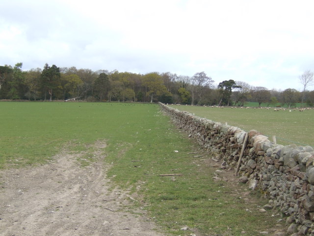
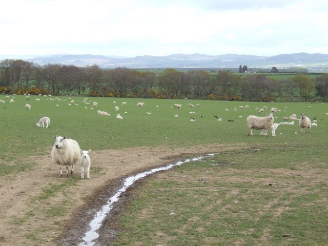
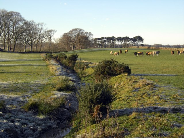
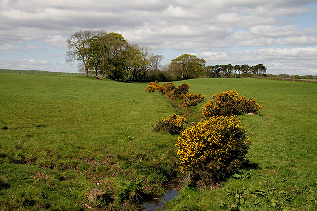
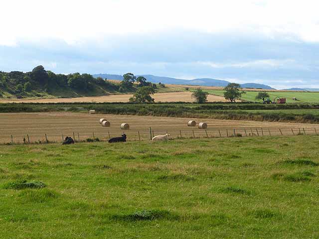
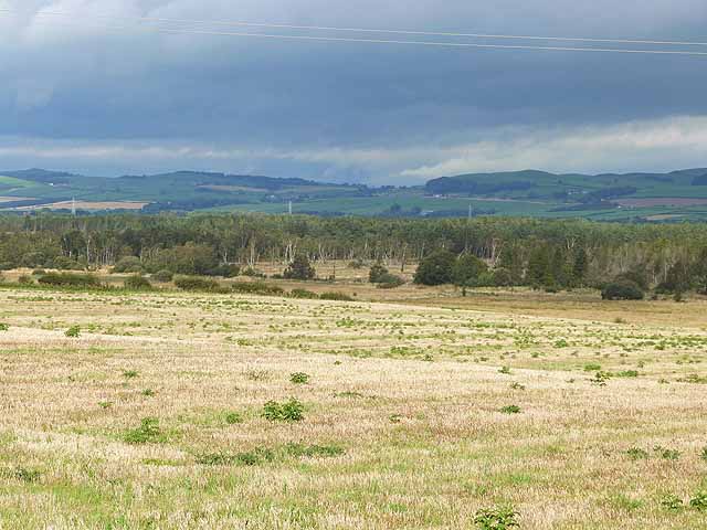
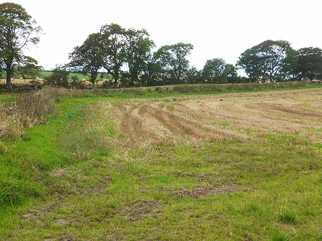
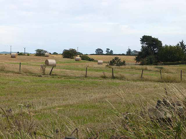
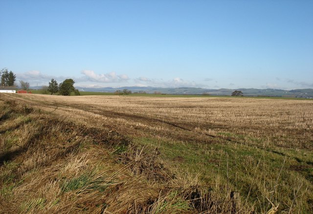
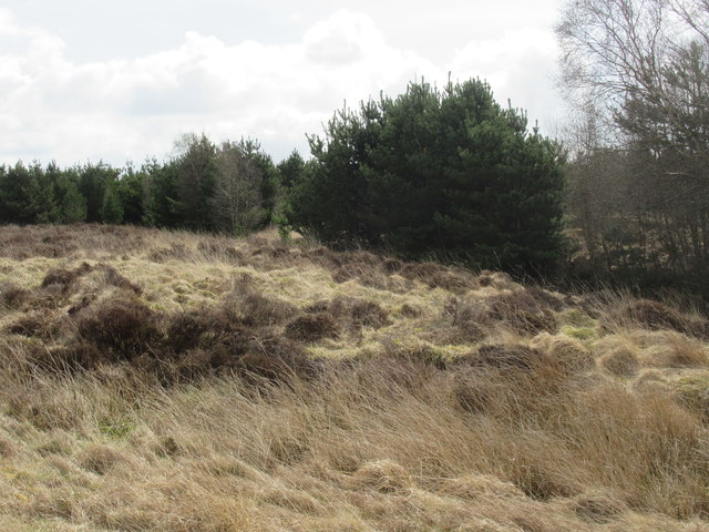
Bush Moor is a picturesque expanse of downs and moorland located in Dumfriesshire, Scotland. Covering an area of approximately 500 acres, it is a haven for nature enthusiasts and outdoor adventurers alike. The moorland is characterized by its rolling hills, heather-covered slopes, and scattered clusters of birch and oak trees.

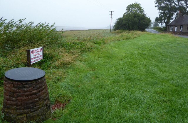
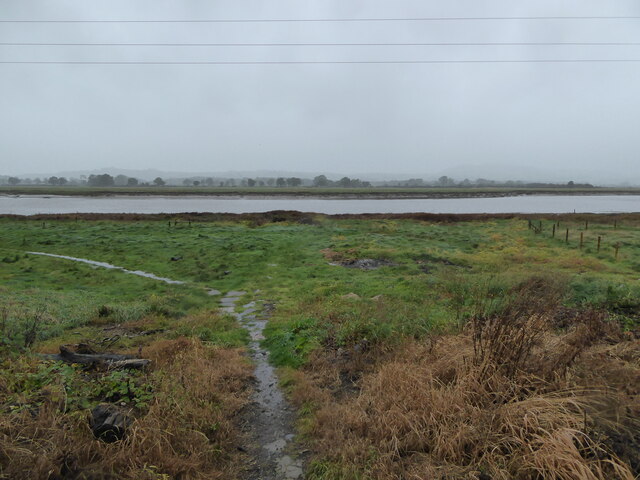
Situated within the Southern Uplands, Bush Moor offers breathtaking panoramic views of the surrounding countryside. On clear days, visitors can admire the distant peaks of the Lowther Hills and the Nith Valley. The diverse terrain is home to a variety of plant and animal species, including rare birds such as red grouse, curlews, and golden plovers.

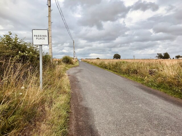
The moorland is intersected by several walking trails, providing visitors with the opportunity to explore its natural beauty up close. The paths meander through the undulating landscape, offering glimpses of babbling brooks, small lochs, and ancient stone formations. The area is also dotted with archaeological sites, including Bronze Age burial cairns and stone circles, adding a sense of historical significance to the surroundings.

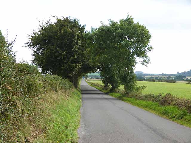
Bush Moor is a popular destination for outdoor activities such as hiking, birdwatching, and photography. Its remote location and unspoiled natural beauty make it an ideal retreat for those seeking tranquility and a connection with nature. Whether it's a leisurely stroll or an adventurous hike, Bush Moor offers visitors a chance to immerse themselves in the rugged charm of Dumfriesshire's countryside.

If you have any feedback on the listing, please let us know in the comments section below.
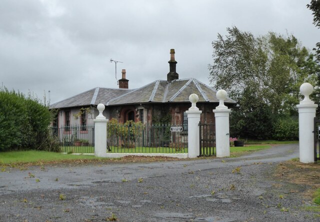
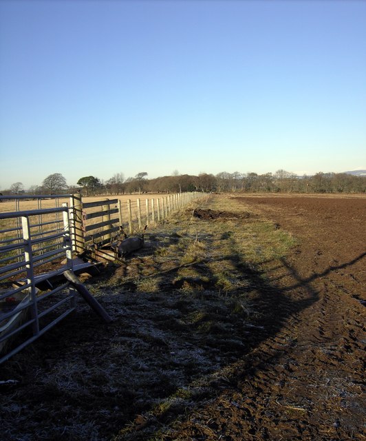
Bush Moor Images

Images are sourced within 2km of 55.023938/-3.5547725 or Grid Reference NY0071. Thanks to Geograph Open Source API. All images are credited.

Passing Place between Glencaple and Bankend  The lane between Glencaple and Bankend is a single track road with passing places.
Passing Place between Glencaple and Bankend
The lane between Glencaple and Bankend is a single track road with passing places.
The Glencaple road, B725 With the memorial to Angus MacKay on the left.
See details of the memorial on Christine Johnstone's image: <a title="https://www.geograph.org.uk/photo/6388455" href="https://www.geograph.org.uk/photo/6388455">Link</a> 
It is still raining!
The Glencaple road, B725
With the memorial to Angus MacKay on the left. See details of the memorial on Christine Johnstone's image: Link It is still raining!
Old Milestone, near Dumfries On the NE verge of Bankend Road. SE of Dumfries near Kelwood Moor and Burn. With a picot Benchmark  representing 37.6 m ASL. In this image only the top is visible, after some clearing.

Inscription (unseen): 4

Milestone Society National ID: DG_DFANUC04
Old Milestone, near Dumfries
On the NE verge of Bankend Road. SE of Dumfries near Kelwood Moor and Burn. With a picot Benchmark representing 37.6 m ASL. In this image only the top is visible, after some clearing. Inscription (unseen): 4 Milestone Society National ID: DG_DFANUC04
The River Nith at Kelton A convenient path leads between the houses in Kelton down to the river bank.
The River Nith at Kelton
A convenient path leads between the houses in Kelton down to the river bank.
Gatehouse to Conheath 'Conheath is a small, relatively intact designed landscape with the current house dating from the early-19th century. The walled garden probably dates from the 17th century and is now managed as Conheath Nurseries.' <span class="nowrap"><a title="https://www.parksandgardens.org/places/conheath" rel="nofollow ugc noopener" href="https://www.parksandgardens.org/places/conheath">Link</a><img style="margin-left:2px;" alt="External link" title="External link - shift click to open in new window" src="https://s1.geograph.org.uk/img/external.png" width="10" height="10"/></span>
Gatehouse to Conheath
'Conheath is a small, relatively intact designed landscape with the current house dating from the early-19th century. The walled garden probably dates from the 17th century and is now managed as Conheath Nurseries.' LinkExternal link
Dry stone wall and sheep pasture Leading the eye to an unnamed wood east of Howmains.
Dry stone wall and sheep pasture
Leading the eye to an unnamed wood east of Howmains.
Sheep and lambs In pasture land north-west of Bankhead. The Southern Uplands are in the far distance.
Sheep and lambs
In pasture land north-west of Bankhead. The Southern Uplands are in the far distance.
Conheath Woodland Across fields towards Conheath.
Conheath Woodland
Across fields towards Conheath.
Greenmill Burn The Greenmill burn near Bankend.
Greenmill Burn
The Greenmill burn near Bankend.
Greenmill Burn An early May view of this small burn that runs through farmland to the northwest of High Greenhill. For a similar view in December, see <a href="https://www.geograph.org.uk/photo/1068547">NY0169 : Greenmill Burn</a>.
Greenmill Burn
An early May view of this small burn that runs through farmland to the northwest of High Greenhill. For a similar view in December, see NY0169 : Greenmill Burn.
Fields near Hawthorn Bank Seen from Bankend Road.
Fields near Hawthorn Bank
Seen from Bankend Road.
Barnkin of Craigs Farm The large low-lying plantation of Craigs Moss and Racks Moss can be seen beyond.
Barnkin of Craigs Farm
The large low-lying plantation of Craigs Moss and Racks Moss can be seen beyond.
Rough pasture near Barnkin of Craigs The extensive low-lying plantation of Craigs Moss beyond.
Rough pasture near Barnkin of Craigs
The extensive low-lying plantation of Craigs Moss beyond.
Recently harvested field near Bankend War Memorial
Fields with bales near Kelwood Farm
Bankend Road Towards the southern end.
Bankend Road
Towards the southern end.
Fields at Bailie Knowe
Racks Moss near Dumfries The proper unreclaimed beast - well there was a drainage ditch where the trees are growing but otherwise as spongy and debilitating to walk on as any moss in the land.
Racks Moss near Dumfries
The proper unreclaimed beast - well there was a drainage ditch where the trees are growing but otherwise as spongy and debilitating to walk on as any moss in the land.
Show me another place!

Bush Moor is located at Grid Ref: NY0071 (Lat: 55.023938, Lng: -3.5547725)

Unitary Authority: Dumfries and Galloway

Police Authority: Dumfries and Galloway

What 3 Words

///resolves.pylons.ozone. Near Dumfries, Dumfries & Galloway

Nearby Locations

Bush Moor Trohoughton Moor

Related Wikis

Dumfries and Galloway College

Dumfries and Galloway College (Scottish Gaelic: Colaiste Dhùn Phris is Ghall-Ghàidhealaibh) is a further education college in Dumfries and Galloway, with...

Glencaple

Glencaple is a small settlement in the Dumfries and Galloway area of Scotland. Situated on the banks of the River Nith, it once served as a port for nearby...

Isle Tower

Isle Tower also known as Lochar Tower and Bankend Tower is a 16th-century ruined tower house located in the north of Bankend in Dumfries and Galloway,...

Bankend, Dumfries and Galloway

Bankend is a village in Dumfries and Galloway, Scotland. It is located near Lochar Water, the civil parish Caerlaverock and the villages of Blackshaw,...

Have you been to Bush Moor?

Leave your review of Bush Moor below (or comments, questions and feedback).