Bampton Down
Downs, Moorland in Devon Mid Devon
England
Bampton Down

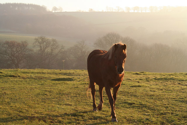
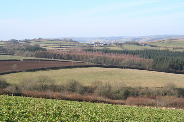
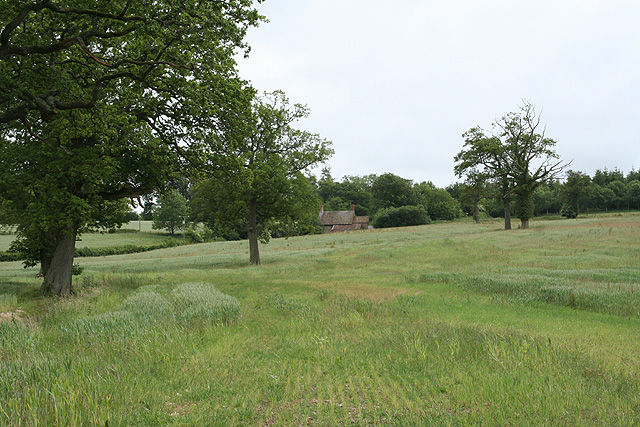
Bampton Down is a designated Site of Special Scientific Interest (SSSI) located in Devon, England. It is situated in the Bampton area, near Tiverton, and covers an area of approximately 145 hectares. The down is predominantly an open grassland with scattered scrub and woodland patches.
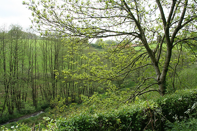
The site is known for its diverse flora and fauna, making it a significant conservation area. It is home to various species of wildflowers, including orchids such as the common spotted orchid and the bee orchid. The down also supports a variety of grasses and herbs, providing a rich habitat for insects and other invertebrates.
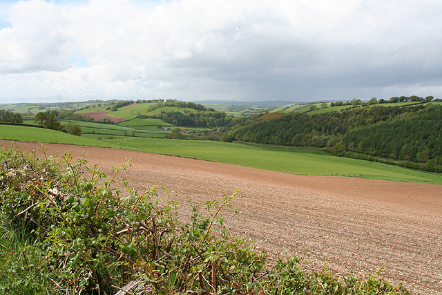
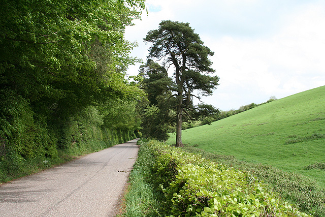
Bampton Down offers a picturesque landscape with rolling hills and panoramic views of the surrounding countryside. The area is characterized by its open expanses of grassland, which are ideal for walking and enjoying the natural beauty of the moorland.
The down is also of historical importance, with evidence of human activity dating back to the Bronze Age. Archaeological features such as burial mounds and ancient field systems can be found on the site, adding to its cultural significance.
Due to its ecological and historical value, Bampton Down is managed and protected by various conservation organizations and government bodies. It serves as an important habitat for wildlife and offers opportunities for nature enthusiasts to explore and appreciate the natural wonders of Devon's countryside.
If you have any feedback on the listing, please let us know in the comments section below.
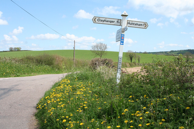
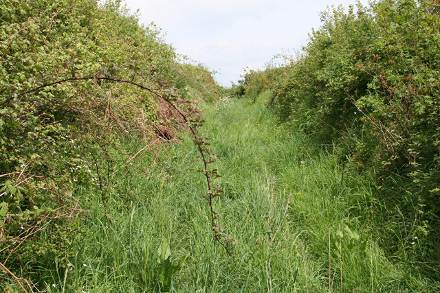
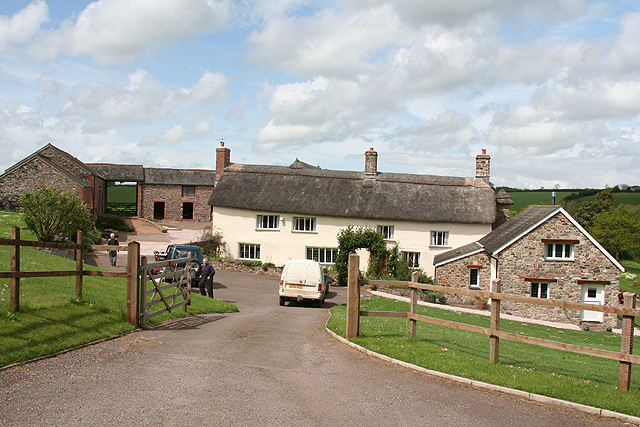
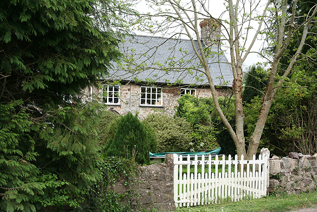
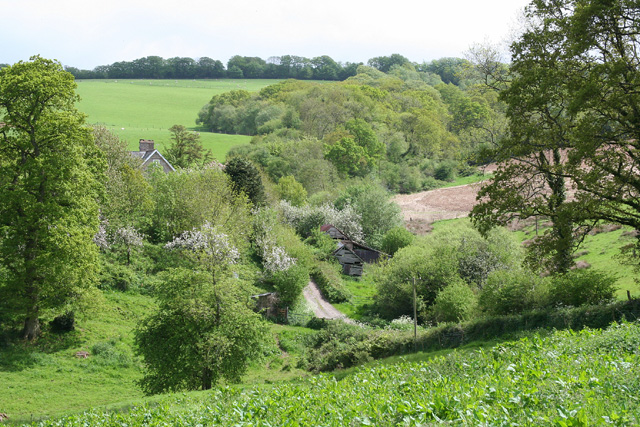
Bampton Down Images
Images are sourced within 2km of 50.981786/-3.4329038 or Grid Reference SS9921. Thanks to Geograph Open Source API. All images are credited.

Bampton Down is located at Grid Ref: SS9921 (Lat: 50.981786, Lng: -3.4329038)
Administrative County: Devon
District: Mid Devon
Police Authority: Devon and Cornwall
What 3 Words
///kilts.bypassed.permit. Near Sampford Peverell, Devon
Nearby Locations
Related Wikis

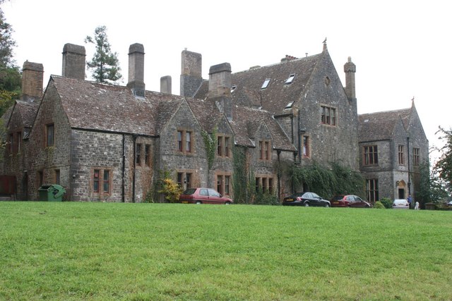
Huntsham Court
Huntsham Court is a Grade II* listed country house in Huntsham, Devon, England. Built in 1868–70, it was designed in the Tudor Gothic style by Benjamin...
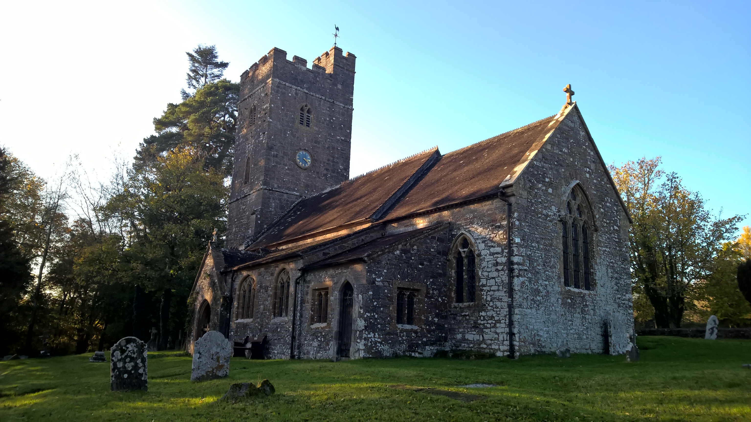
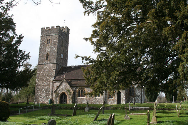
All Saints' Church, Huntsham
All Saints' Church, Huntsham is a Grade II* listed parish church in the Church of England. It is in the small village of Huntsham, about 5.8 miles (9.3...

Huntsham Castle
Huntsham Castle, Devon, England is an Iron Age Hill fort enclosure near the village of Huntsham, it is located 260 m (850 ft) above sea level on the edge...

Huntsham
Huntsham is a small village and civil parish, formerly a manor and ecclesiastical parish, in the Mid Devon district of Devon, England. The nearest town...
Nearby Amenities
Located within 500m of 50.981786,-3.4329038Have you been to Bampton Down?
Leave your review of Bampton Down below (or comments, questions and feedback).