Oakley Park

Downs, Moorland in Montgomeryshire

Wales

Oakley Park

Snowy field near Gwastadcoed Looking from the Severn Way in the direction of the Severn valley which runs further to the south.
Snowy field near Gwastadcoed Credit: Bill Boaden

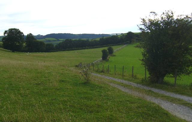
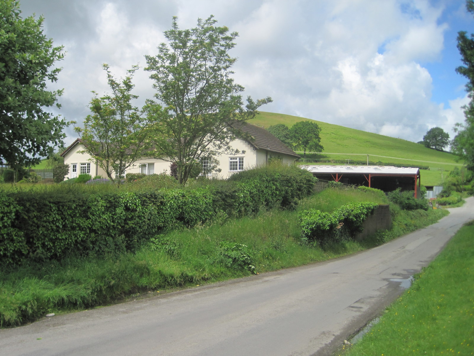
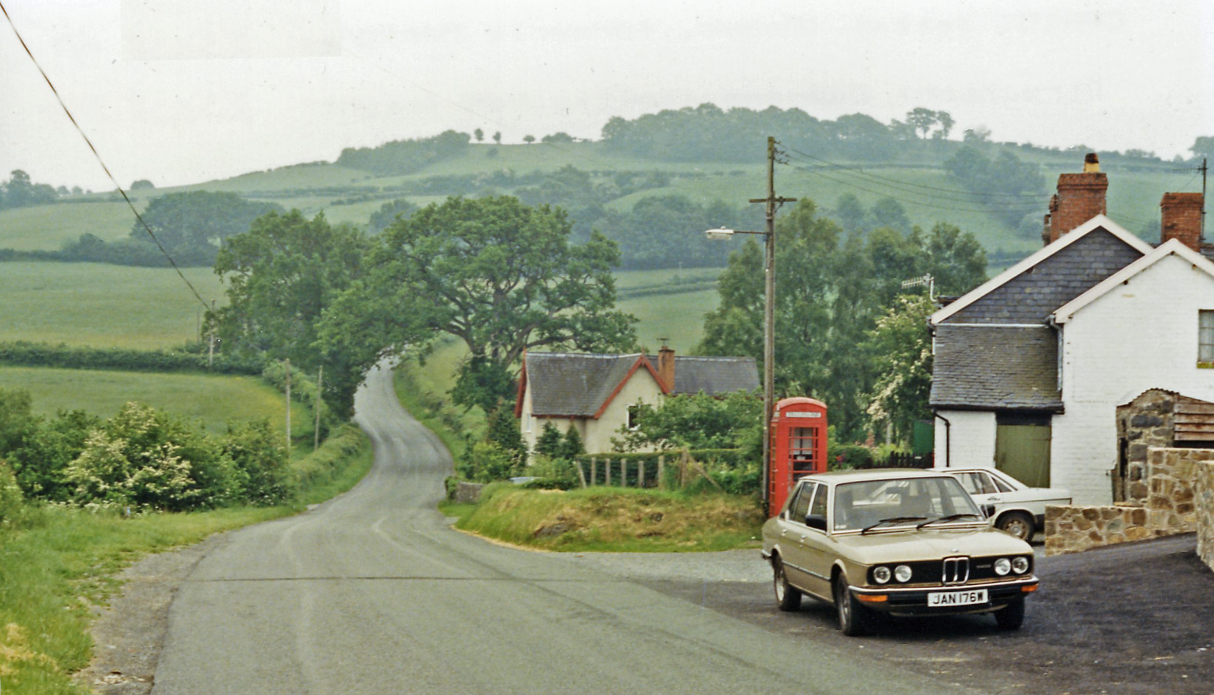
Oakley Park is a picturesque estate located in the county of Montgomeryshire, Wales. Situated amidst the stunning Downs and Moorland landscapes, this expansive park covers a vast area of natural beauty.

The park is known for its rich history, dating back several centuries. It was originally established as a hunting ground for nobility in the 17th century and has since evolved into a popular destination for nature enthusiasts and history buffs alike.

The landscape of Oakley Park is characterized by rolling hills, lush meadows, and dense woodlands. The Downs, with their gentle slopes and panoramic views, offer a perfect setting for leisurely walks and picnics. The Moorland, on the other hand, presents a more rugged terrain, with heather-covered hills and scattered boulders creating a unique and wild atmosphere.

Visitors to Oakley Park can explore an extensive network of walking trails that wind through the estate, allowing them to immerse themselves in the natural wonders of the surroundings. The park is home to a diverse range of flora and fauna, including rare plant species and various birds of prey.

In addition to its natural beauty, Oakley Park boasts several historical landmarks. The imposing Oakley Manor, a grand mansion built in the 18th century, stands as a testament to the park's rich past. The estate also features a charming walled garden, which showcases a variety of vibrant flowers and well-manicured lawns.

Overall, Oakley Park offers a delightful experience for those seeking tranquility and an escape from the hustle and bustle of modern life. Its breathtaking landscapes and fascinating history make it a must-visit destination in Montgomeryshire.

If you have any feedback on the listing, please let us know in the comments section below.

Oakley Park Images

Images are sourced within 2km of 52.470084/-3.4940126 or Grid Reference SN9886. Thanks to Geograph Open Source API. All images are credited.

Snowy field near Gwastadcoed Looking from the Severn Way in the direction of the Severn valley which runs further to the south.
Snowy field near Gwastadcoed
Looking from the Severn Way in the direction of the Severn valley which runs further to the south.
Dolwen railway station (site), Powys Opened in 1859 on the Cambrian Railway's line from Newtown to Brecon, this station closed in 1962.
View north west at what is now a private residence. The platform was on this side of the former station building and the railway crossed the road just to the right of it.
Dolwen railway station (site), Powys
Opened in 1859 on the Cambrian Railway's line from Newtown to Brecon, this station closed in 1962. View north west at what is now a private residence. The platform was on this side of the former station building and the railway crossed the road just to the right of it.
Old Milestone by the A470, southwest of Dolwen, Llandinam parish Stone post by the A470, in parish of Llandinam (Powys District), Dolwen, West of Maesderwen Lane, on verge, in hedge, Southwest side of road.

Inscription reads:-
11
NEWT
(2½) 
(Llanidloes)
 
Grade II listed by Cadw.
Reference Number: 17781 <span class="nowrap"><a title="https://cadwpublic-api.azurewebsites.net/reports/listedbuilding/FullReport?lang=&id=17781" rel="nofollow ugc noopener" href="https://cadwpublic-api.azurewebsites.net/reports/listedbuilding/FullReport?lang=&id=17781">Link</a><img style="margin-left:2px;" alt="External link" title="External link - shift click to open in new window" src="https://s1.geograph.org.uk/img/external.png" width="10" height="10"/></span>

Surveyed

Milestone Society National ID: MOT_NTLI11
Old Milestone by the A470, southwest of Dolwen, Llandinam parish
Stone post by the A470, in parish of Llandinam (Powys District), Dolwen, West of Maesderwen Lane, on verge, in hedge, Southwest side of road. Inscription reads:- 11 NEWT (2½) (Llanidloes) Grade II listed by Cadw. Reference Number: 17781 LinkExternal link Surveyed Milestone Society National ID: MOT_NTLI11
Farm track to Morfodion
Farm track to Cefn Mawr Also a junction on the Severn Way, a long distance walking route which follows the River Severn downstream from source to sea.
Farm track to Cefn Mawr
Also a junction on the Severn Way, a long distance walking route which follows the River Severn downstream from source to sea.
The Severn Way, looking south (We did remember to close the gate afterwards...)
The Severn Way, looking south
(We did remember to close the gate afterwards...)
The Severn Way, looking ENE
The Severn Way, looking SW
House to the N of the Severn Way
Another use for a fingerpost
Narrow grassy track leading up to Cefn farm
Another view of Cefn farm, showing a trailer, excavator scoop, silage bales and woodpile
Lane to Gwastadcoed (NCR 81)
Access road to Gwastadcoed
A470 at Leylands Holiday Homes
A470 nearing Llanidloes
Show me another place!

Oakley Park is located at Grid Ref: SN9886 (Lat: 52.470084, Lng: -3.4940126)

Unitary Authority: Powys

Police Authority: Dyfed Powys

What 3 Words

///birds.digests.impulsive. Near Llanidloes, Powys

Nearby Locations

Oakley Park Oakley Park

Related Wikis

Dolwen railway station

Dolwen railway station was a station to the southwest of Llandinam, Powys, Wales. The station was opened in 1859 and closed in 1963. The station building...

Cerist railway station

Cerist railway station served the town of Llanidloes, in the historical county of Montgomeryshire, Wales, from 1873 to 1940 on the Van Railway. == History... ==

Van, Llanidloes

Van (Welsh: Y Fan) is a hamlet in Powys, Mid Wales, located to the north west of Llanidloes. Its name, an anglicisation of the local Welsh placename "Fan...

Llanidloes Town F.C.

Llanidloes Town Football Club (Welsh: Clwb Pêl-droed Tref Llanidloes) are an association football club based in the town of Llanidloes, Wales. They currently...

Nearby Amenities

Located within 500m of 52.470084,-3.4940126
Place: farm
Lat/Long: 52.4734515/-3.4894344
Building: yes
Lat/Long: 52.4693799/-3.4950422
Telephone
Booth: K6
Covered: booth
Operator: BT
Phone: +44 1686 412453
Lat/Long: 52.47044/-3.4955728
Give Way
Direction: forward
Lat/Long: 52.4709485/-3.496281
The data included in this document is from www.openstreetmap.org. The data is made available under ODbL.

Have you been to Oakley Park?

Leave your review of Oakley Park below (or comments, questions and feedback).