Broadclyst Moor

Downs, Moorland in Devon East Devon

England

Broadclyst Moor

Approaching Killerton House
Approaching Killerton House Credit: John C

Broadclyst Moor is a picturesque area located in Devon, England. Situated in the southern part of the county, it is known for its stunning downs and moorland landscapes. Covering an area of approximately 500 hectares, Broadclyst Moor offers a diverse range of habitats and is home to a rich variety of flora and fauna.

The moorland is characterized by its expansive open spaces and undulating terrain, which is covered in heather, grasses, and gorse. This unique landscape provides a haven for numerous bird species, including skylarks, stonechats, and meadow pipits. The moorland is also home to small mammals such as voles and shrews.

In addition to its natural beauty, Broadclyst Moor holds historical significance. It has been a common grazing area for livestock for centuries, and evidence of past human activity can still be seen in the form of ancient field boundaries and stone structures. The moorland also contains remnants of Bronze Age settlements, adding to its archaeological importance.

Broadclyst Moor offers a range of recreational activities for visitors to enjoy. There are several walking trails that provide opportunities to explore the stunning landscapes and observe the wildlife. The moorland is also popular among birdwatchers and nature enthusiasts, who can immerse themselves in the tranquil surroundings.

Overall, Broadclyst Moor is a captivating destination for those seeking to experience the natural beauty and historical heritage of Devon. Its expansive downs and moorland, abundant wildlife, and archaeological significance make it a must-visit location for nature lovers and history buffs alike.

If you have any feedback on the listing, please let us know in the comments section below.

Broadclyst Moor Images

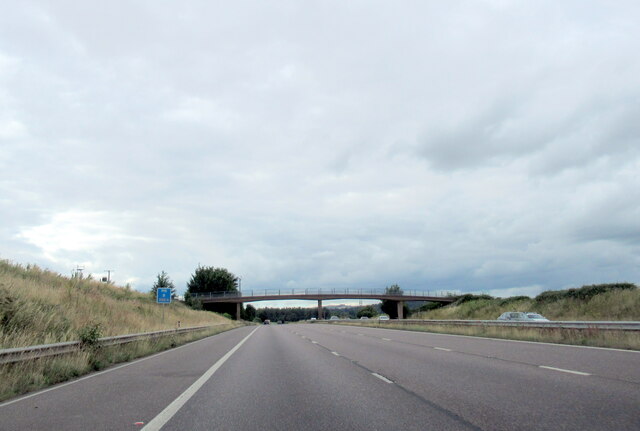
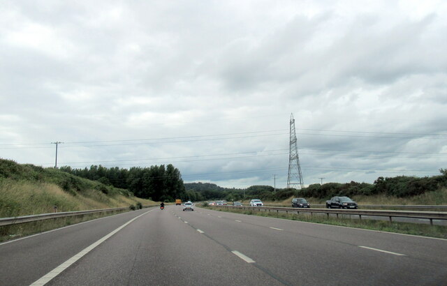
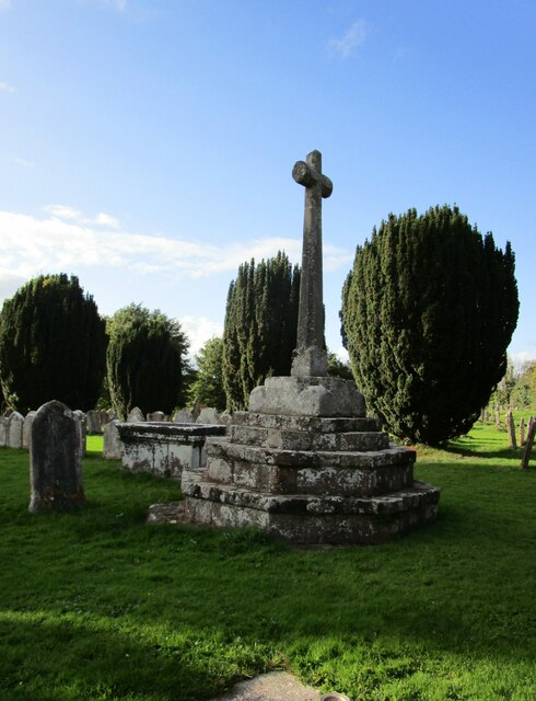
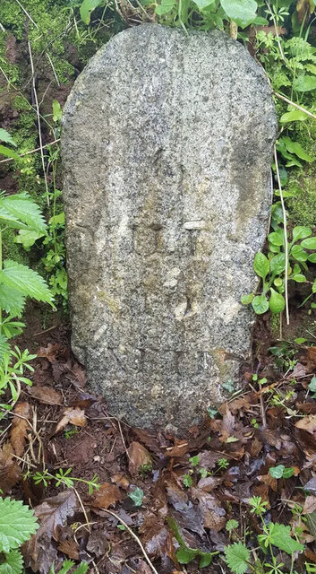
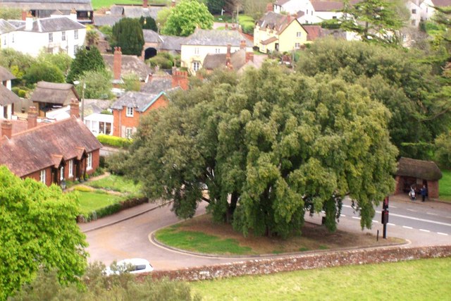
Images are sourced within 2km of 50.77276/-3.4511689 or Grid Reference SX9798. Thanks to Geograph Open Source API. All images are credited.

Approaching Killerton House
Killerton House from the pond Late afternoon shot of Killerton House (National Trust) looking across the parkland.
Killerton House from the pond
Late afternoon shot of Killerton House (National Trust) looking across the parkland.
Poltimore Churchyard Cross The cross survives as a 15th century socket stone and shaft with a modern head and arms (Scale 1m) <span class="nowrap"><a title="https://historicengland.org.uk/listing/the-list/list-entry/1016219?section=official-list-entry" rel="nofollow ugc noopener" href="https://historicengland.org.uk/listing/the-list/list-entry/1016219?section=official-list-entry">Link</a><img style="margin-left:2px;" alt="External link" title="External link - shift click to open in new window" src="https://s1.geograph.org.uk/img/external.png" width="10" height="10"/></span>
Poltimore Churchyard Cross
The cross survives as a 15th century socket stone and shaft with a modern head and arms (Scale 1m) LinkExternal link
Lake at Killerton
Lake at Killerton
The M5 north at B 250.4 marker
The M5 north neat Broadclyst Moor
The M5 north at B 248.9 marker
The M5 north at B 248.4 marker
Bridge over the M5 North near Budlake
The Red Lion Inn, Broadclyst An eighteenth century building enlarged in the nineteenth and twentieth century <span class="nowrap"><a title="https://historicengland.org.uk/listing/the-list/list-entry/1098317?section=official-list-entryes" rel="nofollow ugc noopener" href="https://historicengland.org.uk/listing/the-list/list-entry/1098317?section=official-list-entryes">Link</a><img style="margin-left:2px;" alt="External link" title="External link - shift click to open in new window" src="https://s1.geograph.org.uk/img/external.png" width="10" height="10"/></span>
The Red Lion Inn, Broadclyst
An eighteenth century building enlarged in the nineteenth and twentieth century LinkExternal link
Lychgates at Broadclyst
Churchyard cross, Broadclyst Dates from the fifteenth century <span class="nowrap"><a title="https://historicengland.org.uk/listing/the-list/list-entry/1306066?section=official-list-entry" rel="nofollow ugc noopener" href="https://historicengland.org.uk/listing/the-list/list-entry/1306066?section=official-list-entry">Link</a><img style="margin-left:2px;" alt="External link" title="External link - shift click to open in new window" src="https://s1.geograph.org.uk/img/external.png" width="10" height="10"/></span>
Churchyard cross, Broadclyst
Dates from the fifteenth century LinkExternal link
Stocks at Broadclyst Beneath a modern shelter <span class="nowrap"><a title="https://historicengland.org.uk/listing/the-list/list-entry/1098319?section=official-list-entry" rel="nofollow ugc noopener" href="https://historicengland.org.uk/listing/the-list/list-entry/1098319?section=official-list-entry">Link</a><img style="margin-left:2px;" alt="External link" title="External link - shift click to open in new window" src="https://s1.geograph.org.uk/img/external.png" width="10" height="10"/></span>
Stocks at Broadclyst
Beneath a modern shelter LinkExternal link
Gate into the churchyard, Broadclyst
Church of St John the Baptist, Broadclyst The tower dates from the fifteenth century <span class="nowrap"><a title="https://historicengland.org.uk/listing/the-list/list-entry/1170465?section=official-list-entry" rel="nofollow ugc noopener" href="https://historicengland.org.uk/listing/the-list/list-entry/1170465?section=official-list-entry">Link</a><img style="margin-left:2px;" alt="External link" title="External link - shift click to open in new window" src="https://s1.geograph.org.uk/img/external.png" width="10" height="10"/></span>
Church of St John the Baptist, Broadclyst
The tower dates from the fifteenth century LinkExternal link
The churchyard, Broadclyst
Grass field, Broadclyst
Old Milestone by the cut-off road, Broad Clyst, East Devon Carved stone post by the UC road off B3181 (was A38), in parish of BROAD CLYST (EAST DEVON District), on private drive to Newhall Equestrian Centre, 120m North of junction with the B3181, in roadside bank (on link road between old and new Exeter turnpike routes), on West side of road. Exeter tombstone, erected by the Exeter turnpike trust in the 19th century. An earlier photograph can be found here <a title="https://www.geograph.org.uk/photo/6045262" href="https://www.geograph.org.uk/photo/6045262">Link</a>.

Inscription reads:- : 6 / MILES / To / Exeter : 

Milestone Society National ID: DV_EXCM06.
Old Milestone by the cut-off road, Broad Clyst, East Devon
Carved stone post by the UC road off B3181 (was A38), in parish of BROAD CLYST (EAST DEVON District), on private drive to Newhall Equestrian Centre, 120m North of junction with the B3181, in roadside bank (on link road between old and new Exeter turnpike routes), on West side of road. Exeter tombstone, erected by the Exeter turnpike trust in the 19th century. An earlier photograph can be found here Link. Inscription reads:- : 6 / MILES / To / Exeter : Milestone Society National ID: DV_EXCM06.
Show me another place!

Broadclyst Moor is located at Grid Ref: SX9798 (Lat: 50.77276, Lng: -3.4511689)

Administrative County: Devon

District: East Devon

Police Authority: Devon and Cornwall

What 3 Words

///fuses.removals.sound. Near Silverton, Devon

Related Wikis

Broadclyst

Broadclyst is a village and civil parish in the East Devon local government district. It lies approximately 5 miles northeast of the city of Exeter, Devon...

Poltimore

Poltimore is a village, civil parish and former manor in the East Devon district, in the county of Devon, England. It lies approximately 5 miles (8.0 km...

Clyst Vale Community College

Clyst Vale Community College is a school in Broadclyst, East Devon near Exeter in England, UK. Since April 2011 it has been an academy. The school is a...

Poltimore House

Poltimore House is an 18th-century country house in Poltimore, Devon, England. The Manor of Poltimore was from the 13th to the 20th century the seat of...

Nearby Amenities

Located within 500m of 50.77276,-3.4511689
Colour: gray
Design: barrel
Line Attachment: suspension
Material: metal
Power: tower
Ref: 4YF294
Structure: lattice
Lat/Long: 50.7694963/-3.4547414
Colour: gray
Design: barrel
Line Attachment: suspension
Material: metal
Power: tower
Ref: 4YF295
Structure: lattice
Lat/Long: 50.7690381/-3.4495366
Barrier: stile
Bicycle: no
Foot: yes
Material: wood
Stile: stepover
Lat/Long: 50.7731503/-3.4488892
Barrier: stile
Lat/Long: 50.7751366/-3.4492149
Information: map
Tourism: information
Lat/Long: 50.7720202/-3.4470653
Brand: National Grid
Brand Wikidata: Q1465461
Material: wood
Operator: National Grid Electricity Distribution Plc
Operator Old: Western Power Distribution
Operator Wikidata: Q7988183
Owner: National Grid Electricity Distribution (South West) Plc
Owner Wikidata: Q114397866
Power: pole
Lat/Long: 50.776103/-3.4474785
Brand: National Grid
Brand Wikidata: Q1465461
Guyed: yes
Material: wood
Operator: National Grid Electricity Distribution Plc
Operator Old: Western Power Distribution
Operator Wikidata: Q7988183
Owner: National Grid Electricity Distribution (South West) Plc
Owner Wikidata: Q114397866
Power: pole
Lat/Long: 50.7750775/-3.4472737
Brand: National Grid
Brand Wikidata: Q1465461
Guyed: yes
Material: wood
Operator: National Grid Electricity Distribution Plc
Operator Old: Western Power Distribution
Operator Wikidata: Q7988183
Owner: National Grid Electricity Distribution (South West) Plc
Owner Wikidata: Q114397866
Power: pole
Lat/Long: 50.7741612/-3.4456727
Brand: National Grid
Brand Wikidata: Q1465461
Material: wood
Operator: National Grid Electricity Distribution Plc
Operator Old: Western Power Distribution
Operator Wikidata: Q7988183
Owner: National Grid Electricity Distribution (South West) Plc
Owner Wikidata: Q114397866
Power: pole
Lat/Long: 50.7731879/-3.4468212
Brand: National Grid
Brand Wikidata: Q1465461
Material: wood
Operator: National Grid Electricity Distribution Plc
Operator Old: Western Power Distribution
Operator Wikidata: Q7988183
Owner: National Grid Electricity Distribution (South West) Plc
Owner Wikidata: Q114397866
Power: pole
Lat/Long: 50.7725739/-3.4473507
Brand: National Grid
Brand Wikidata: Q1465461
Material: wood
Operator: National Grid Electricity Distribution Plc
Operator Old: Western Power Distribution
Operator Wikidata: Q7988183
Owner: National Grid Electricity Distribution (South West) Plc
Owner Wikidata: Q114397866
Power: pole
Lat/Long: 50.7723711/-3.4468892
Brand: National Grid
Brand Wikidata: Q1465461
Material: wood
Operator: National Grid Electricity Distribution Plc
Operator Old: Western Power Distribution
Operator Wikidata: Q7988183
Owner: National Grid Electricity Distribution (South West) Plc
Owner Wikidata: Q114397866
Power: pole
Lat/Long: 50.7722517/-3.4466165
Brand: National Grid
Brand Wikidata: Q1465461
Guyed: yes
Line Management: split
Material: wood
Operator: National Grid Electricity Distribution Plc
Operator Old: Western Power Distribution
Operator Wikidata: Q7988183
Owner: National Grid Electricity Distribution (South West) Plc
Owner Wikidata: Q114397866
Power: pole
Lat/Long: 50.772011/-3.4573864
Brand: National Grid
Brand Wikidata: Q1465461
Material: wood
Operator: National Grid Electricity Distribution Plc
Operator Old: Western Power Distribution
Operator Wikidata: Q7988183
Owner: National Grid Electricity Distribution (South West) Plc
Owner Wikidata: Q114397866
Power: pole
Lat/Long: 50.7715604/-3.4557712
Brand: National Grid
Brand Wikidata: Q1465461
Material: wood
Operator: National Grid Electricity Distribution Plc
Operator Old: Western Power Distribution
Operator Wikidata: Q7988183
Owner: National Grid Electricity Distribution (South West) Plc
Owner Wikidata: Q114397866
Power: pole
Lat/Long: 50.7711262/-3.4542954
Brand: National Grid
Brand Wikidata: Q1465461
Material: wood
Operator: National Grid Electricity Distribution Plc
Operator Old: Western Power Distribution
Operator Wikidata: Q7988183
Owner: National Grid Electricity Distribution (South West) Plc
Owner Wikidata: Q114397866
Power: pole
Lat/Long: 50.7706853/-3.4527771
Brand: National Grid
Brand Wikidata: Q1465461
Material: wood
Operator: National Grid Electricity Distribution Plc
Operator Old: Western Power Distribution
Operator Wikidata: Q7988183
Owner: National Grid Electricity Distribution (South West) Plc
Owner Wikidata: Q114397866
Power: pole
Lat/Long: 50.770316/-3.4514534
Brand: National Grid
Brand Wikidata: Q1465461
Material: wood
Operator: National Grid Electricity Distribution Plc
Operator Old: Western Power Distribution
Operator Wikidata: Q7988183
Owner: National Grid Electricity Distribution (South West) Plc
Owner Wikidata: Q114397866
Power: pole
Lat/Long: 50.7698636/-3.4490736
Brand: National Grid
Brand Wikidata: Q1465461
Material: wood
Operator: National Grid Electricity Distribution Plc
Operator Old: Western Power Distribution
Operator Wikidata: Q7988183
Owner: National Grid Electricity Distribution (South West) Plc
Owner Wikidata: Q114397866
Power: pole
Lat/Long: 50.7696465/-3.4475877
Brand: National Grid
Brand Wikidata: Q1465461
Guyed: yes
Line Management: split
Material: wood
Operator: National Grid Electricity Distribution Plc
Operator Old: Western Power Distribution
Operator Wikidata: Q7988183
Owner: National Grid Electricity Distribution (South West) Plc
Owner Wikidata: Q114397866
Power: pole
Lat/Long: 50.7694922/-3.446523
Brand: National Grid
Brand Wikidata: Q1465461
Material: wood
Operator: National Grid Electricity Distribution Plc
Operator Old: Western Power Distribution
Operator Wikidata: Q7988183
Owner: National Grid Electricity Distribution (South West) Plc
Owner Wikidata: Q114397866
Power: pole
Lat/Long: 50.770224/-3.4463596
Brand: National Grid
Brand Wikidata: Q1465461
Material: wood
Operator: National Grid Electricity Distribution Plc
Operator Old: Western Power Distribution
Operator Wikidata: Q7988183
Owner: National Grid Electricity Distribution (South West) Plc
Owner Wikidata: Q114397866
Power: pole
Lat/Long: 50.7710382/-3.4461544
Barrier: stile
Bicycle: no
Foot: yes
Material: wood
Stile: stepover
Lat/Long: 50.7730192/-3.4489158
Barrier: stile
Bicycle: no
Foot: yes
Material: wood
Stile: stepover
Lat/Long: 50.7735544/-3.4492313
The data included in this document is from www.openstreetmap.org. The data is made available under ODbL.

Have you been to Broadclyst Moor?

Leave your review of Broadclyst Moor below (or comments, questions and feedback).