Hagloe

Settlement in Gloucestershire Forest of Dean

England

Hagloe

Farmland, Awre Picture taken from the Severn Way across farmland to the River Severn itself.
Farmland, Awre Credit: Stuart Wilding

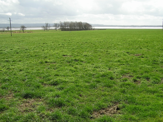
Hagloe is a small village located in the county of Gloucestershire, England. Situated in the southern part of the county, it is nestled within the beautiful countryside of the Cotswolds. The village is surrounded by picturesque rolling hills, lush green fields, and charming woodland areas.

With a population of around 200 residents, Hagloe exudes a sense of tranquility and rural charm. The village itself is characterized by a cluster of traditional stone cottages, many of which date back several centuries, giving it a timeless and idyllic feel. The architecture reflects the rich history of the area and showcases the region's distinctive Cotswold style.

Despite its small size, Hagloe is not without amenities. The village boasts a charming local pub, serving up hearty meals and a selection of traditional ales, providing a focal point for the community to gather and socialize. Additionally, the nearby town of Dursley offers a wider range of amenities, including shops, schools, and healthcare facilities.

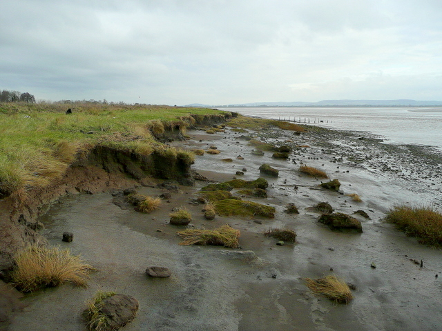
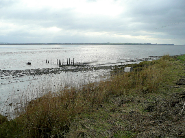
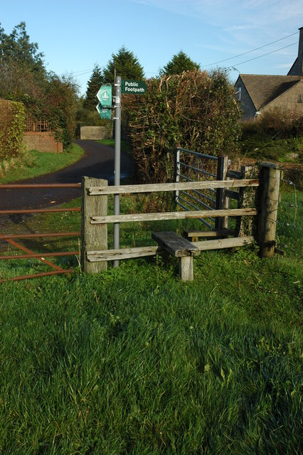
Nature lovers will find themselves at home in Hagloe, as the village is surrounded by an abundance of scenic walking paths and nature trails. The nearby Cotswold Way, a long-distance footpath, offers breathtaking views of the surrounding countryside and is popular with hikers and outdoor enthusiasts.

With its serene rural setting, historic charm, and easy access to natural beauty, Hagloe offers a quintessentially English village experience, making it an appealing destination for both residents and visitors alike.

If you have any feedback on the listing, please let us know in the comments section below.
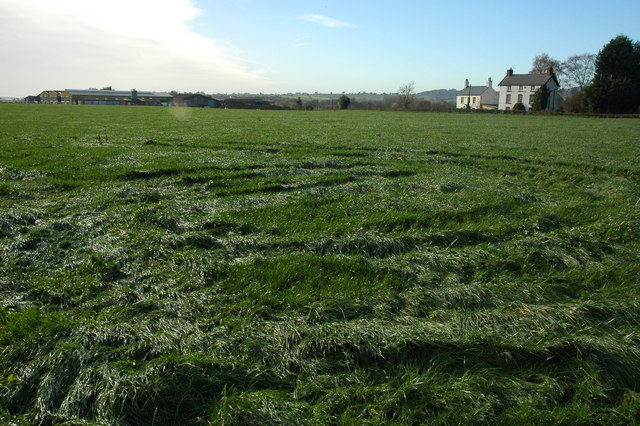
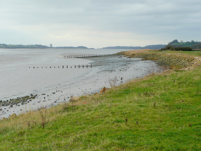
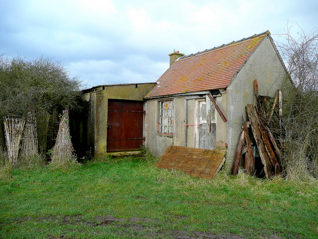
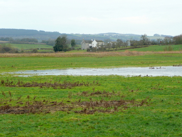
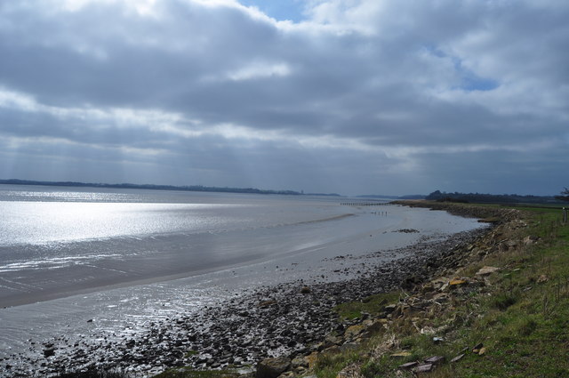
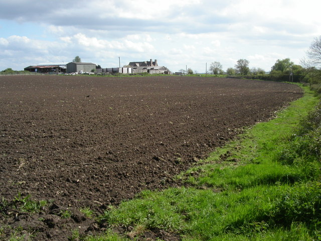
Hagloe Images

Images are sourced within 2km of 51.756452/-2.452716 or Grid Reference SO6806. Thanks to Geograph Open Source API. All images are credited.

Farmland, Awre Picture taken from the Severn Way across farmland to the River Severn itself.
Farmland, Awre
Picture taken from the Severn Way across farmland to the River Severn itself.
Severn bank near Awre Looking north-east, erosion is a factor with this stretch of the estuary's north coast.
Severn bank near Awre
Looking north-east, erosion is a factor with this stretch of the estuary's north coast.
North bank of the Severn With the remains of an old groyne being uncovered in receding tide.
In the distance right is Berkeley Power Station.
Thanks to a suggestion by another member.
A minor amendment to the description, this is in fact the remains of a salmon fishing putcher rank or a fix engine for salmon fishing.
(May 2012)
North bank of the Severn
With the remains of an old groyne being uncovered in receding tide. In the distance right is Berkeley Power Station. Thanks to a suggestion by another member. A minor amendment to the description, this is in fact the remains of a salmon fishing putcher rank or a fix engine for salmon fishing. (May 2012)
Stile and footpath sign, Awre The footpath indicates this is the route of the Severn Way, however, the official route is on the east bank of the river.
Stile and footpath sign, Awre
The footpath indicates this is the route of the Severn Way, however, the official route is on the east bank of the river.
Farmland at Awre Farmland and Hall Farm, Awre.
Farmland at Awre
Farmland and Hall Farm, Awre.
Severn bank at Awre Looking down the estuary towards Berkeley Power Station in the distance.
Severn bank at Awre
Looking down the estuary towards Berkeley Power Station in the distance.
Fishing hut by the Severn In a fairly dilapidated state.
Fishing hut by the Severn
In a fairly dilapidated state.
View to Ripple House Looking inland from the Severn embankment.
The Forest of Dean rises in the distance.
View to Ripple House
Looking inland from the Severn embankment. The Forest of Dean rises in the distance.
River Severn at Awre taken from a public footpath in farmland
River Severn at Awre
taken from a public footpath in farmland
Stop-net boats at Gatcombe, near Blakeney, Forest of Dean These old stop-net boats are some of the last remaining stop-net boats that once plied the Severn Estuary for Salmon. Unfortunately they are no longer in very good condition!
Stop-net boats at Gatcombe, near Blakeney, Forest of Dean
These old stop-net boats are some of the last remaining stop-net boats that once plied the Severn Estuary for Salmon. Unfortunately they are no longer in very good condition!
Gloucester to Chepstow Railway Line Disused Signal Box by Awre Crossing. This is the view North, to the South of this crossing was the small Halt of Awre Junction.
Gloucester to Chepstow Railway Line
Disused Signal Box by Awre Crossing. This is the view North, to the South of this crossing was the small Halt of Awre Junction.
Liable to Tidal Flooding ...is the warning on the sign. This part of Gloucestershire is at risk when the tidal waters of the Severn are at their highest. The Severn has one of the largest tidal ranges in the world.
Liable to Tidal Flooding
...is the warning on the sign. This part of Gloucestershire is at risk when the tidal waters of the Severn are at their highest. The Severn has one of the largest tidal ranges in the world.
Little Box, nr Blakeney Farmland in the Severn Vale.
Little Box, nr Blakeney
Farmland in the Severn Vale.
Daffodils by Bideford Brook Close to Nether Hall nr Blakeney.
Daffodils by Bideford Brook
Close to Nether Hall nr Blakeney.
Railway by the Severn 60 042 "The Hundred of Hoo" powers North towards Gloucester along by the River Severn.
Railway by the Severn
60 042 "The Hundred of Hoo" powers North towards Gloucester along by the River Severn.
Blakeney Church 18th century Church of All Saints at Blakeney sits beside the A48. Blakeney is at the edge of the Forest of Dean and 2Km from the river Severn.
Blakeney Church
18th century Church of All Saints at Blakeney sits beside the A48. Blakeney is at the edge of the Forest of Dean and 2Km from the river Severn.
Farmland This farm is situated between the river Severn and the railtrack that runs between Gloucester and Lydney. The track is to the right over the hedgerow. The farmhouse is 1/2Km from the river. After passing the farmhouse the track runs alongside the Severn for 4.5Kms.
Farmland
This farm is situated between the river Severn and the railtrack that runs between Gloucester and Lydney. The track is to the right over the hedgerow. The farmhouse is 1/2Km from the river. After passing the farmhouse the track runs alongside the Severn for 4.5Kms.
Victorian postbox This Victorian postbox is set into the wall at Poulton Farm on the road between Blakeney and Awre.
Victorian postbox
This Victorian postbox is set into the wall at Poulton Farm on the road between Blakeney and Awre.
Show me another place!

Hagloe is located at Grid Ref: SO6806 (Lat: 51.756452, Lng: -2.452716)

Administrative County: Gloucestershire

District: Forest of Dean

Police Authority: Gloucestershire

What 3 Words

///mountains.penny.evolves. Near Sharpness, Gloucestershire

Nearby Locations

Hagloe

Related Wikis

Awre for Blakeney railway station

Awre for Blakeney railway station is a closed railway station in Gloucestershire, England, which served both the village of Awre and the town of Blakeney...

Bledisloe Tump

Bledisloe Tump was a castle in the village of Awre in Gloucestershire, England. == History == The first castle on the site was built in the 11th or early...

Blakeney, Gloucestershire

Blakeney is a village in Gloucestershire, England. It in the parish of Awre and has views of the Forest of Dean. It was the site of a Roman villa, dating...

Awre

Awre () is a village, civil parish and electoral ward in the Forest of Dean District of Gloucestershire, England, near the River Severn. Both the parish...

Related Videos

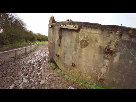
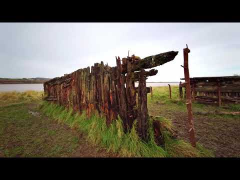
Ship Graveyard and Sharpness Canal | Virtual Run / Walk ASMR | Purton Hulks, Cotswolds

Scenic river virtual run / gimbal walking tour with natural sounds (ASMR) visits the Purton Hulks Ship Graveyard along the River ...

Stacking boats to save a Canal and Coastline, The Purton Hulks #History #Heritage #Drone #Epic

Full Video - https://youtu.be/w3WElHF4wf4 Purton Ships Graveyard also known as Purton Hulks is a fleet of barges sunk to form a ...

Ship Graveyard | Virtual Run / Walk ASMR | Treadmill Workout Scenery | Purton Hulks, The Cotswolds

Scenic river virtual run / gimbal walking tour with natural sounds (ASMR) visits the Purton Hulks Ship Graveyard along the River ...

Ship Graveyard | Virtual Run / Walk ASMR | Treadmill Workout Scenery | Purton Hulks, The Cotswolds

Scenic river virtual run / gimbal walking tour with natural sounds (ASMR) visits the Purton Hulks Ship Graveyard along the River ...

Nearby Amenities

Located within 500m of 51.756452,-2.452716
Source: PGS
Lat/Long: 51.752774/-2.4488118
Source: PGS
Lat/Long: 51.7532556/-2.4478514
Source: PGS
Lat/Long: 51.7534814/-2.4474222
Source: PGS
Lat/Long: 51.7537737/-2.4468751
The data included in this document is from www.openstreetmap.org. The data is made available under ODbL.

Have you been to Hagloe?

Leave your review of Hagloe below (or comments, questions and feedback).