Ffridd Fawr

Downs, Moorland in Montgomeryshire

Wales

Ffridd Fawr

Coed yr Allt Looking across Lake Vyrnwy to Coed yr Allt.
Coed yr Allt Credit: Peter McDermott

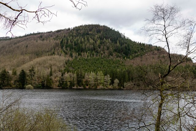
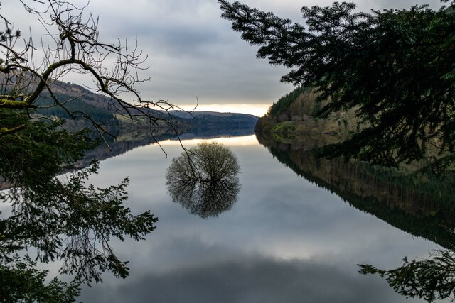
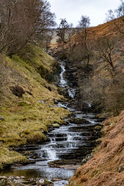
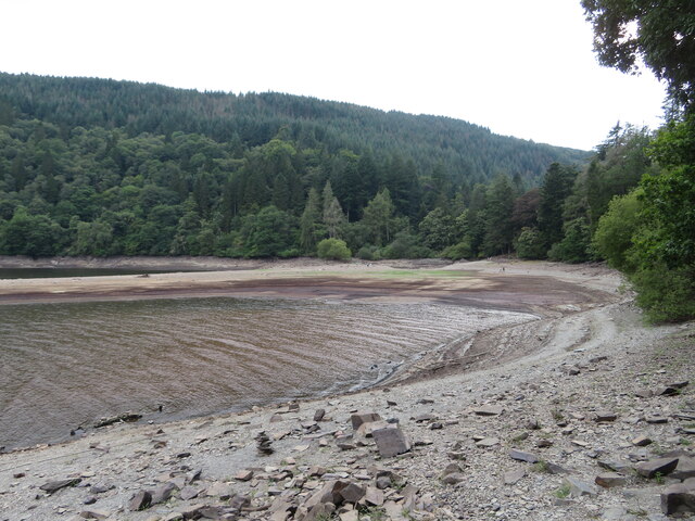
Ffridd Fawr is a remote area of upland moorland located in Montgomeryshire, Wales. Situated in the picturesque Welsh countryside, Ffridd Fawr is known for its rugged terrain, rolling hills, and vast expanses of open grassland. The landscape is characterized by scattered rocky outcrops, heather-covered slopes, and patches of dense woodland.

The area is home to a variety of wildlife, including birds of prey such as red kites and buzzards, as well as sheep and other livestock grazing on the open moorland. Visitors to Ffridd Fawr can enjoy hiking and walking trails that offer stunning views of the surrounding countryside, as well as opportunities for birdwatching and nature photography.

Ffridd Fawr is a designated Area of Outstanding Natural Beauty, making it a popular destination for nature lovers and outdoor enthusiasts. The area is also rich in history, with ancient settlements and archaeological sites scattered throughout the landscape. With its unspoiled natural beauty and peaceful atmosphere, Ffridd Fawr offers a tranquil retreat for those looking to escape the hustle and bustle of modern life.

If you have any feedback on the listing, please let us know in the comments section below.
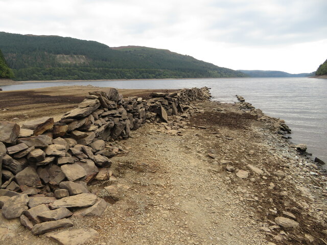
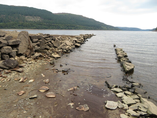
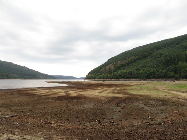
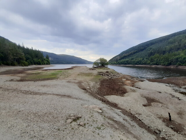
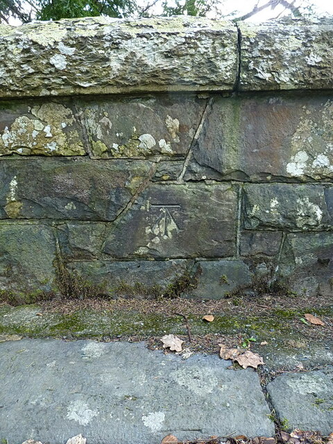
Ffridd Fawr Images

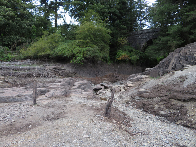
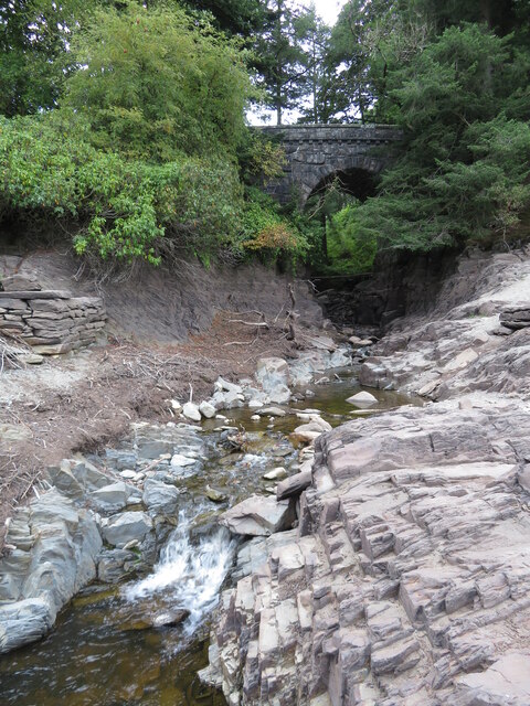
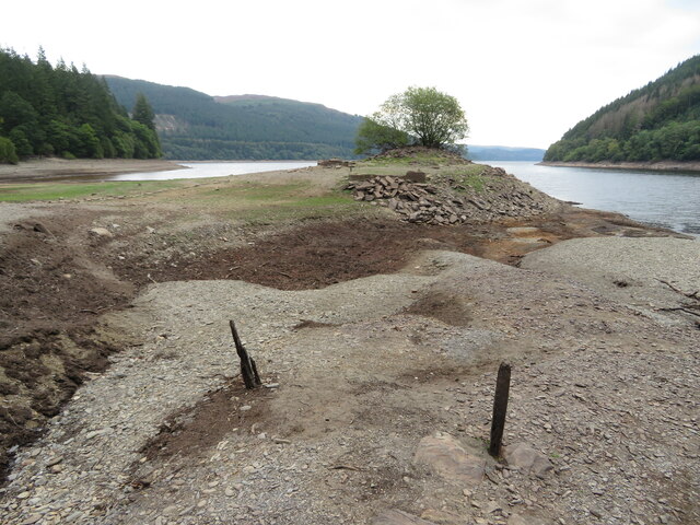
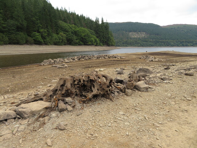
Images are sourced within 2km of 52.786841/-3.5512875 or Grid Reference SH9522. Thanks to Geograph Open Source API. All images are credited.

Coed yr Allt Looking across Lake Vyrnwy to Coed yr Allt.
Coed yr Allt
Looking across Lake Vyrnwy to Coed yr Allt.
Lake Vyrnwy
Lake Vyrnwy
Lake Vyrnwy
Lake Vyrnwy
Eunant Waterfalls on the Eunant.
Eunant
Waterfalls on the Eunant.
Depleted Lake Vyrnwy near Pont Eunant The level of the reservoir is low, exposing land that is usually covered with water.
Depleted Lake Vyrnwy near Pont Eunant
The level of the reservoir is low, exposing land that is usually covered with water.
Mouth of the Eunant Fawr at Pont Eunant The level of the reservoir is low, exposing land that is usually covered with water.
Mouth of the Eunant Fawr at Pont Eunant
The level of the reservoir is low, exposing land that is usually covered with water.
Mouth of the Eunant Fawr at Pont Eunant The level of the reservoir is low, exposing land that is usually covered with water.
Mouth of the Eunant Fawr at Pont Eunant
The level of the reservoir is low, exposing land that is usually covered with water.
Depleted Lake Vyrnwy near Pont Eunant The level of the reservoir is low, exposing land that is usually covered with water. The tree shown here can usually be seen growing on an island in the lake, for example: <a href="https://www.geograph.org.uk/photo/7150248">SH9622 : Lake Vyrnwy</a>
Depleted Lake Vyrnwy near Pont Eunant
The level of the reservoir is low, exposing land that is usually covered with water. The tree shown here can usually be seen growing on an island in the lake, for example: SH9622 : Lake Vyrnwy
Depleted Lake Vyrnwy near Pont Eunant The level of the reservoir is low, exposing land that is usually covered with water.
Depleted Lake Vyrnwy near Pont Eunant
The level of the reservoir is low, exposing land that is usually covered with water.
Depleted Lake Vyrnwy near Pont Eunant The level of the reservoir is low, exposing land that is usually covered with water.
Depleted Lake Vyrnwy near Pont Eunant
The level of the reservoir is low, exposing land that is usually covered with water.
Remains of walls usually beneath Lake Vrynwy The level of the reservoir is low, exposing land that is usually covered with water.
Remains of walls usually beneath Lake Vrynwy
The level of the reservoir is low, exposing land that is usually covered with water.
Depleted Lake Vyrnwy near Pont Eunant The level of the reservoir is low, exposing land that is usually covered with water.
Depleted Lake Vyrnwy near Pont Eunant
The level of the reservoir is low, exposing land that is usually covered with water.
Depleted Lake Vyrnwy near Pont Eunant The level of the reservoir is low, exposing land that is usually covered with water. The tree shown here can usually be seen growing on an island in the lake, for example: <a href="https://www.geograph.org.uk/photo/7150248">SH9622 : Lake Vyrnwy</a>
Depleted Lake Vyrnwy near Pont Eunant
The level of the reservoir is low, exposing land that is usually covered with water. The tree shown here can usually be seen growing on an island in the lake, for example: SH9622 : Lake Vyrnwy
Riding through Coed-yr-Allt on the B4393
Pont Eunant One of the series of bridges built on the perimeter road of Lake Vyrnwy shortly after the lake's construction in the late 1880s. This one was Grade II listed <span class="nowrap"><a title="https://britishlistedbuildings.co.uk/300080934-pont-eunant-llanwddyn#.ZBS5ZXbP3IU" rel="nofollow ugc noopener" href="https://britishlistedbuildings.co.uk/300080934-pont-eunant-llanwddyn#.ZBS5ZXbP3IU">Link</a><img style="margin-left:2px;" alt="External link" title="External link - shift click to open in new window" src="https://s1.geograph.org.uk/img/external.png" width="10" height="10"/></span> & <span class="nowrap"><a title="https://cadwpublic-api.azurewebsites.net/reports/listedbuilding/FullReport?lang=en&id=80934" rel="nofollow ugc noopener" href="https://cadwpublic-api.azurewebsites.net/reports/listedbuilding/FullReport?lang=en&id=80934">Link</a><img style="margin-left:2px;" alt="External link" title="External link - shift click to open in new window" src="https://s1.geograph.org.uk/img/external.png" width="10" height="10"/></span> in 2003.
Pont Eunant
One of the series of bridges built on the perimeter road of Lake Vyrnwy shortly after the lake's construction in the late 1880s. This one was Grade II listed LinkExternal link & LinkExternal link in 2003.
OS benchmark on Pont Eunant Last levelled by the OS in 1955 at 259.885m above Ordnance Datum Newlyn; it appears on the maps of 1901 at 852.4ft above Liverpool datum.
OS benchmark on Pont Eunant
Last levelled by the OS in 1955 at 259.885m above Ordnance Datum Newlyn; it appears on the maps of 1901 at 852.4ft above Liverpool datum.
The Eunant valley Looking down the narrow part of the valley which lies between the moor from which the stream springs and the slightly broader, more cultivated and wooded lower part.
The Eunant valley
Looking down the narrow part of the valley which lies between the moor from which the stream springs and the slightly broader, more cultivated and wooded lower part.
Ruin on the hill Possibly the remains of a small barn. The remains of substantial stone walls here suggest that the fields were once part of a significant estate.
Ruin on the hill
Possibly the remains of a small barn. The remains of substantial stone walls here suggest that the fields were once part of a significant estate.
Show me another place!

Ffridd Fawr is located at Grid Ref: SH9522 (Lat: 52.786841, Lng: -3.5512875)

Unitary Authority: Powys

Police Authority: Dyfed Powys

What 3 Words

///loitering.widen.swimsuits. Near Llanuwchllyn, Gwynedd

Related Wikis

Rhiwargor

Rhiwargor is a hamlet in Powys, Wales. It is located north of Lake Vyrnwy. The hamlet is made up of a few houses with no amenities. It does however, lie...
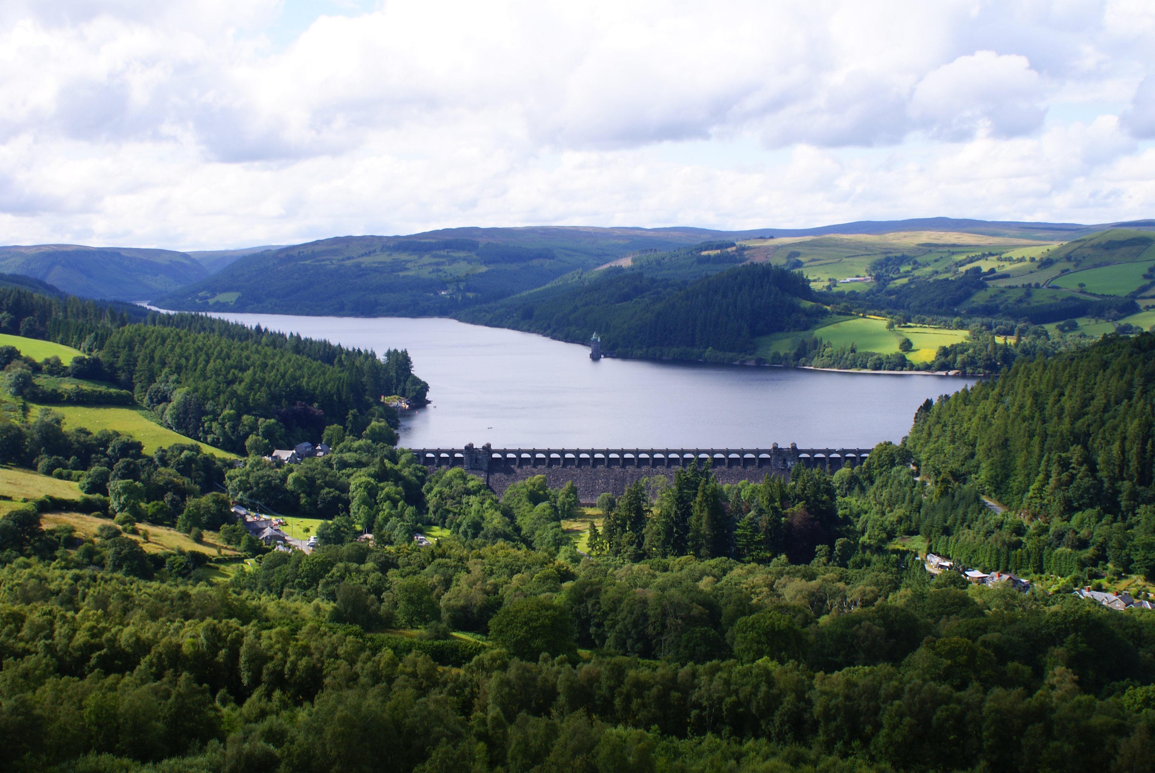
Lake Vyrnwy

Lake Vyrnwy (Welsh: Llyn Efyrnwy, pronounced [ɛˈvərnʊɨ] or Llyn Llanwddyn) is a reservoir in Powys, Wales, built in the 1880s for Liverpool Corporation...

Bwlch y Groes

Bwlch y Groes (translates from Welsh as pass of the cross) is the second highest public road mountain pass in Wales, with a summit altitude of 545 metres...

Foel y Geifr

Foel y Geifr is a subsidiary summit of Esgeiriau Gwynion, and included in a group of hills known as the Hirnantau. These hills rise from the south east...

Nearby Amenities

Located within 500m of 52.786841,-3.5512875
Bryn Mawr
Ele: 534
Natural: peak
Source: npe
Lat/Long: 52.7855218/-3.5573795
The data included in this document is from www.openstreetmap.org. The data is made available under ODbL.

Have you been to Ffridd Fawr?

Leave your review of Ffridd Fawr below (or comments, questions and feedback).