Bauldie's Brae
Downs, Moorland in Kirkcudbrightshire
Scotland
Bauldie's Brae

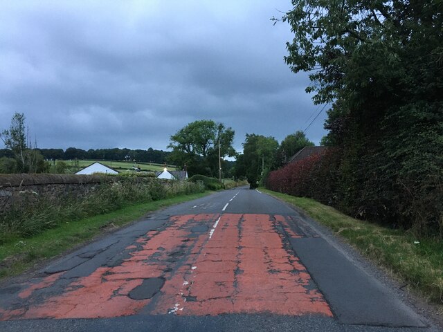
Bauldie's Brae is a picturesque area located in Kirkcudbrightshire, Scotland. Situated amidst the serene surroundings of downs and moorland, it offers visitors a unique and tranquil experience. The brae, meaning a hill or slope in Scots dialect, is known for its rugged terrain and breathtaking views.
The landscape at Bauldie's Brae is dominated by rolling hills covered in heather and scattered with granite outcrops. The area is characterized by its vast moorland, which is home to a variety of flora and fauna. Visitors can spot an array of bird species, including curlews, lapwings, and skylarks, as well as deer and hare.
The brae is a popular destination for hikers and nature enthusiasts. There are several walking trails that allow visitors to explore the area and take in the stunning vistas. The paths wind through the moorland, providing opportunities to discover hidden streams and waterfalls, adding to the beauty of the landscape.
During the summer months, Bauldie's Brae becomes a haven for wildflowers, creating a vibrant and colorful display. The scent of heather fills the air, attracting bees and butterflies. The brae also offers panoramic views of the surrounding countryside, including the nearby Galloway Hills and the Solway Firth.
For those seeking tranquility and a connection with nature, Bauldie's Brae is a must-visit destination. Its untouched beauty and remote location make it a hidden gem in Kirkcudbrightshire, offering a true escape from the hustle and bustle of everyday life.
If you have any feedback on the listing, please let us know in the comments section below.
Bauldie's Brae Images
Images are sourced within 2km of 55.030523/-3.6465109 or Grid Reference NX9471. Thanks to Geograph Open Source API. All images are credited.


Bauldie's Brae is located at Grid Ref: NX9471 (Lat: 55.030523, Lng: -3.6465109)
Unitary Authority: Dumfries and Galloway
Police Authority: Dumfries and Galloway
What 3 Words
///hobbit.overlaps.slap. Near Dumfries, Dumfries & Galloway
Nearby Locations
Related Wikis

Pict's Knowe
Pict's Knowe (grid reference NX 9538 7213) is a henge monument in the parish of Troqueer, Dumfries and Galloway. It is one of a small group of henge monuments...
Mabie, Dumfries and Galloway
Mabie is a collection of mountain biking routes located in Dumfries and Galloway, southwest Scotland. The mountain bike routes are part of the 7Stanes...
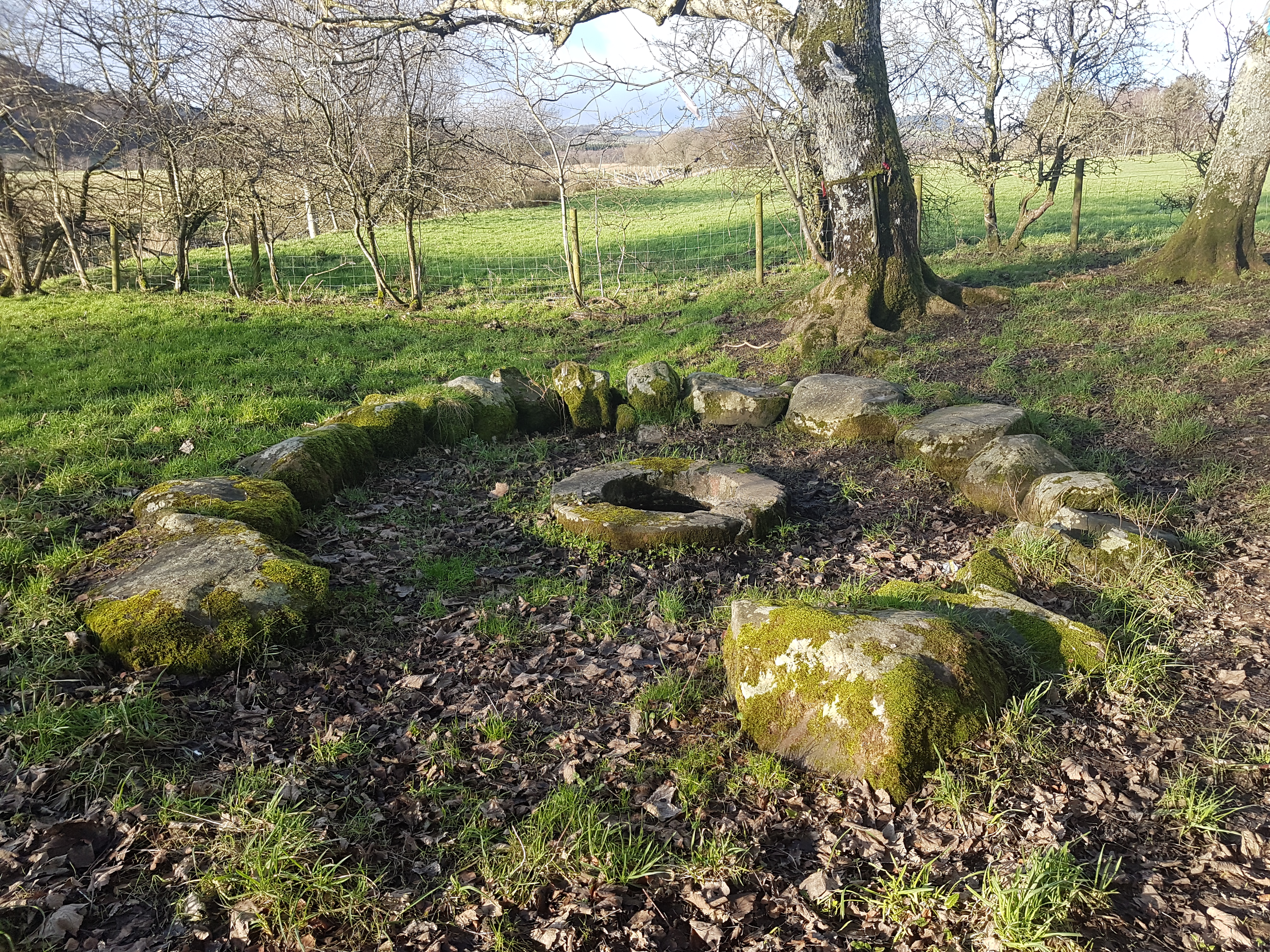
St Queran's Well
St Queran's Well is a holy well in Dumfries and Galloway, located in the parish of Troqueer in the historic county of Kirkcudbrightshire. A spring feeds...
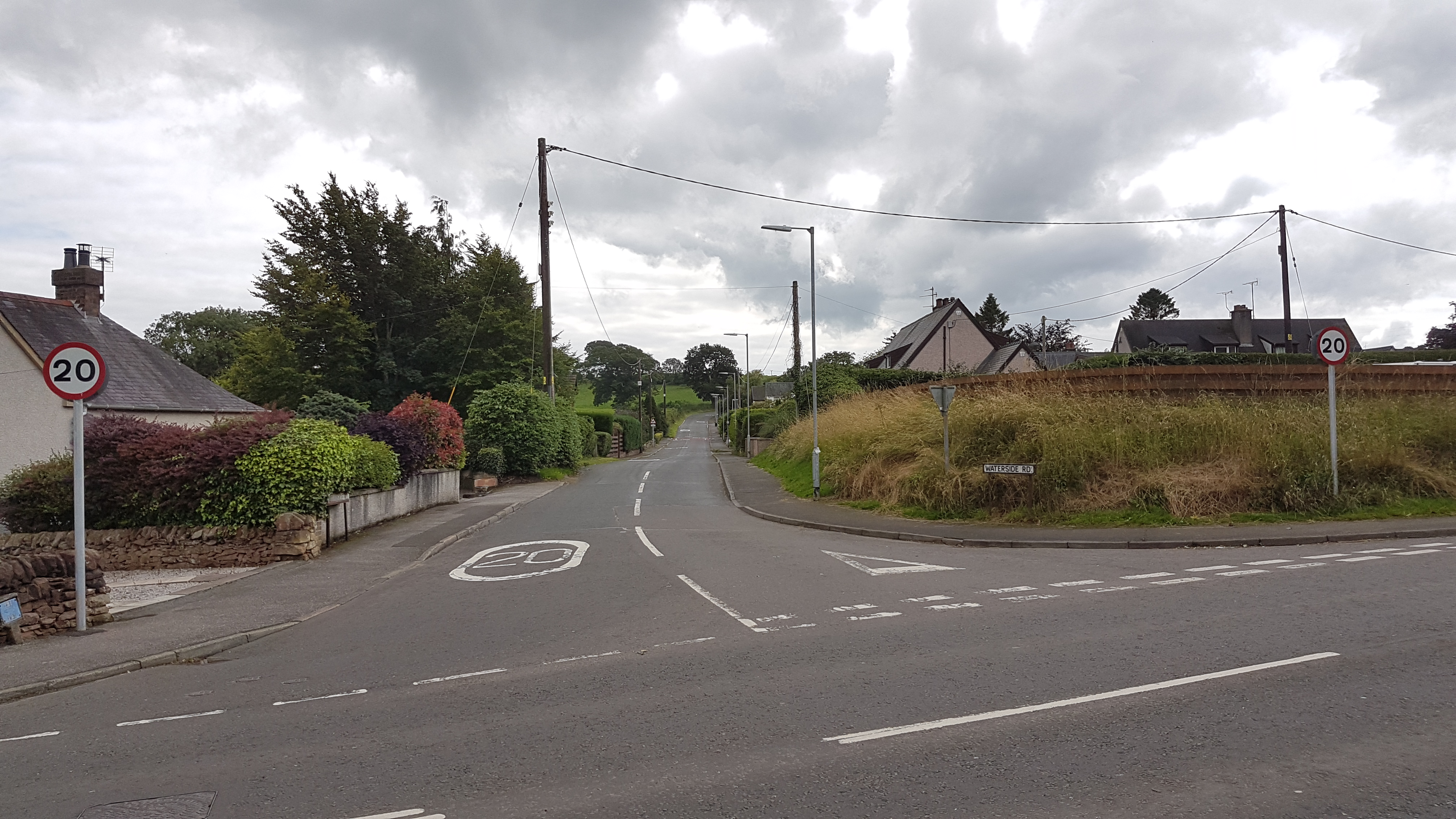
Cargenbridge
Cargenbridge is a village located in Dumfries and Galloway, United Kingdom southwest of Dumfries. It is in Troqueer parish, in the historic county of Kirkcudbrightshire...

Lochaber Loch
Lochaber Loch is a small, lowland freshwater loch that lies among steep-sided hills, approximately 4.5 mi (7.2 km) to the west of Dumfries, Scotland. The...

Lochanhead railway station
Lochanhead railway station served the settlement of Lochanhead, Dumfries and Galloway, Scotland from 1859 to 1965 on the Castle Douglas and Dumfries Railway...

Dumfries and Galloway Royal Infirmary
Dumfries and Galloway Royal Infirmary is the main hospital in Dumfries and Galloway, Scotland. The hospital is managed by NHS Dumfries and Galloway....
Curriestanes cursus
Curriestanes cursus (grid reference NX 95990 75170) is a large neolithic ditched enclosure on the outskirts of Dumfries, in the parish of Troqueer, Dumfries...
Nearby Amenities
Located within 500m of 55.030523,-3.6465109Have you been to Bauldie's Brae?
Leave your review of Bauldie's Brae below (or comments, questions and feedback).