Hannah Moor
Downs, Moorland in Cumberland Copeland
England
Hannah Moor

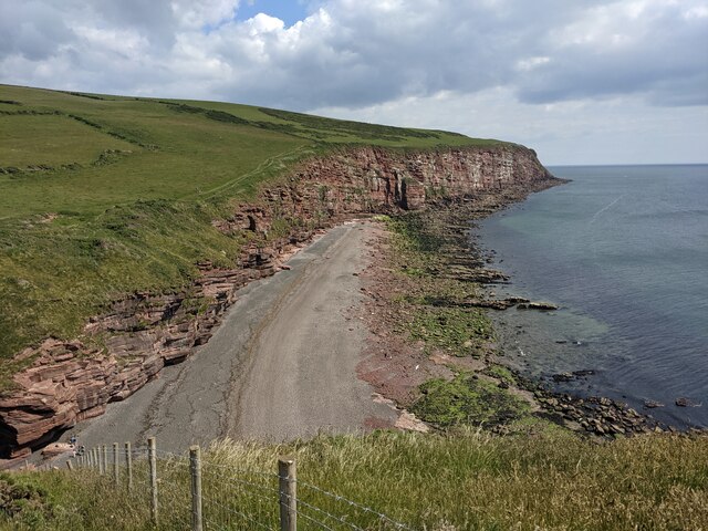
Hannah Moor, also known as Cumberland Downs or Moorland, is a vast expanse of natural beauty located in the county of Cumberland, England. Covering an area of approximately 10,000 acres, it is a stunning example of a moorland landscape.
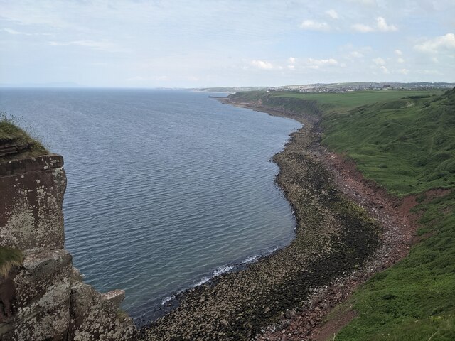
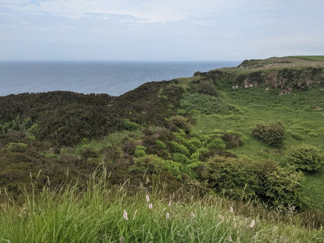
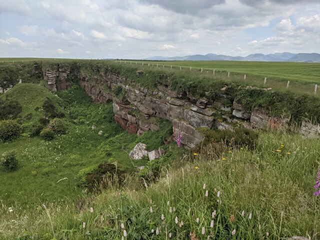
The moorland is characterized by its rolling hills, expansive heather-covered plains, and scattered rock formations. The landscape is predominantly wild and untouched, providing a haven for a diverse range of flora and fauna. Visitors to Hannah Moor can expect to encounter a variety of plants, including heather, gorse, and bilberry, as well as species of moss and lichen that thrive in the damp conditions.
The moorland is also home to an array of wildlife, attracting nature enthusiasts and birdwatchers alike. Visitors may be fortunate enough to spot red grouse, curlews, lapwings, and other bird species that inhabit the area. Mammals such as red deer, rabbits, and foxes are also known to roam the moorland.
Hannah Moor offers a peaceful and serene environment for those looking to escape the hustle and bustle of urban life. Its vast open spaces and unspoiled landscape provide ample opportunities for outdoor activities such as hiking, birdwatching, and photography. The moorland is crisscrossed with footpaths and trails, allowing visitors to explore and appreciate its natural wonders.
Overall, Hannah Moor, Cumberland (Downs, Moorland) is a captivating destination for nature lovers, offering a unique opportunity to experience the beauty and tranquility of a moorland landscape.
If you have any feedback on the listing, please let us know in the comments section below.
Hannah Moor Images
Images are sourced within 2km of 54.51099/-3.6283995 or Grid Reference NX9414. Thanks to Geograph Open Source API. All images are credited.


Hannah Moor is located at Grid Ref: NX9414 (Lat: 54.51099, Lng: -3.6283995)
Administrative County: Cumbria
District: Copeland
Police Authority: Cumbria
What 3 Words
///sparrows.chatted.loops. Near St Bees, Cumbria
Nearby Locations
Related Wikis
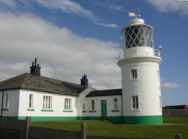
St Bees Lighthouse
St Bees Lighthouse is a lighthouse located on St Bees Head near the village of St Bees in Cumbria, England. The cliff-top light is the highest in England...
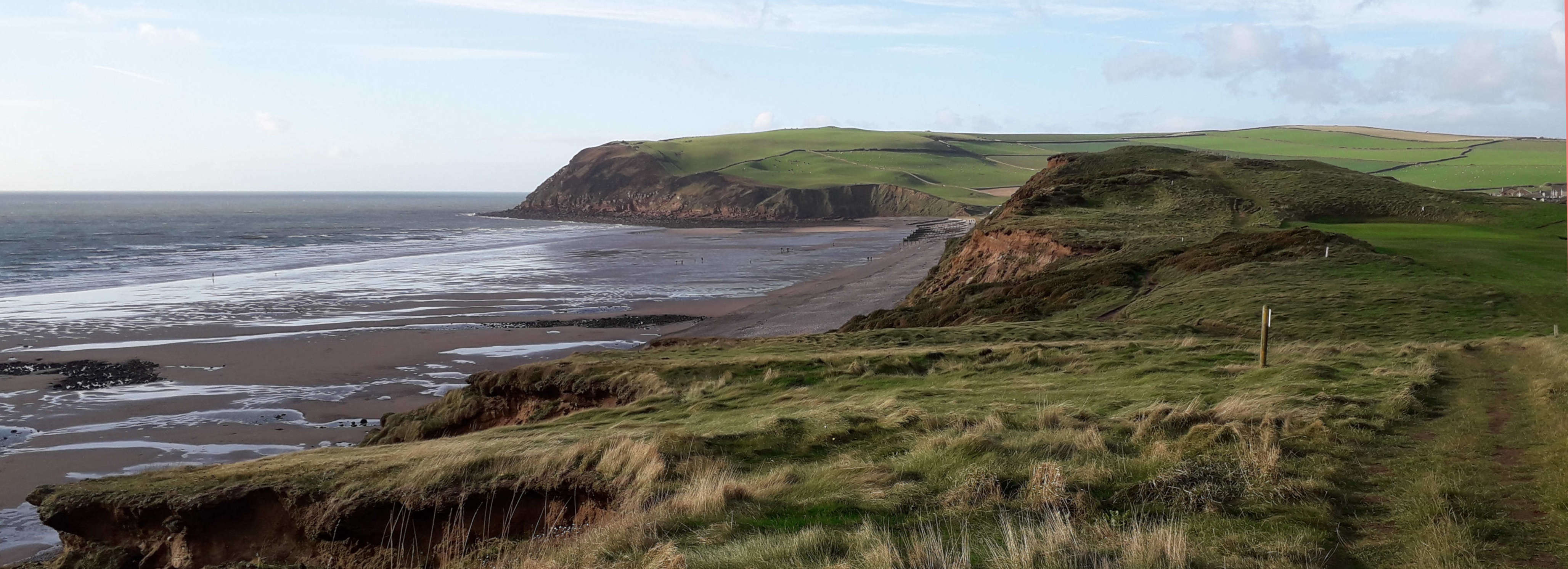
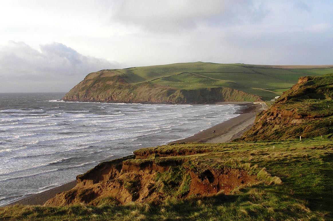
St Bees Head
St Bees Head is a headland on the North West coast of the English county of Cumbria and is named after the nearby village of St Bees. It is the only stretch...

Rottington
Rottington is a hamlet and former civil parish which is 3 miles (4.8 km) from Whitehaven; now in the parish of St Bees, Cumberland, Cumbria, England. It...

Sandwith, Cumbria
Sandwith is a settlement and former civil parish in Cumbria, England, about 7 miles from Workington and near St Bees. It lies in the parish of Whitehaven...
Cumbria Coast
Cumbria Coast is one of England's Marine Conservation Zones. It was designated in 2013 and is one of a number of such zones off the coast of Cumbria....

Woodhouse Colliery
Woodhouse Colliery, also known as Whitehaven coal mine, is a proposed coal mine near to Whitehaven in Cumbria, England. The proposal is for the first deep...

St Bees Head RSPB reserve
St Bees Head RSPB Reserve at St Bees Head, Cumbria, England, is a coastal site which provides a home for thousands of seabirds under the care of the RSPB...
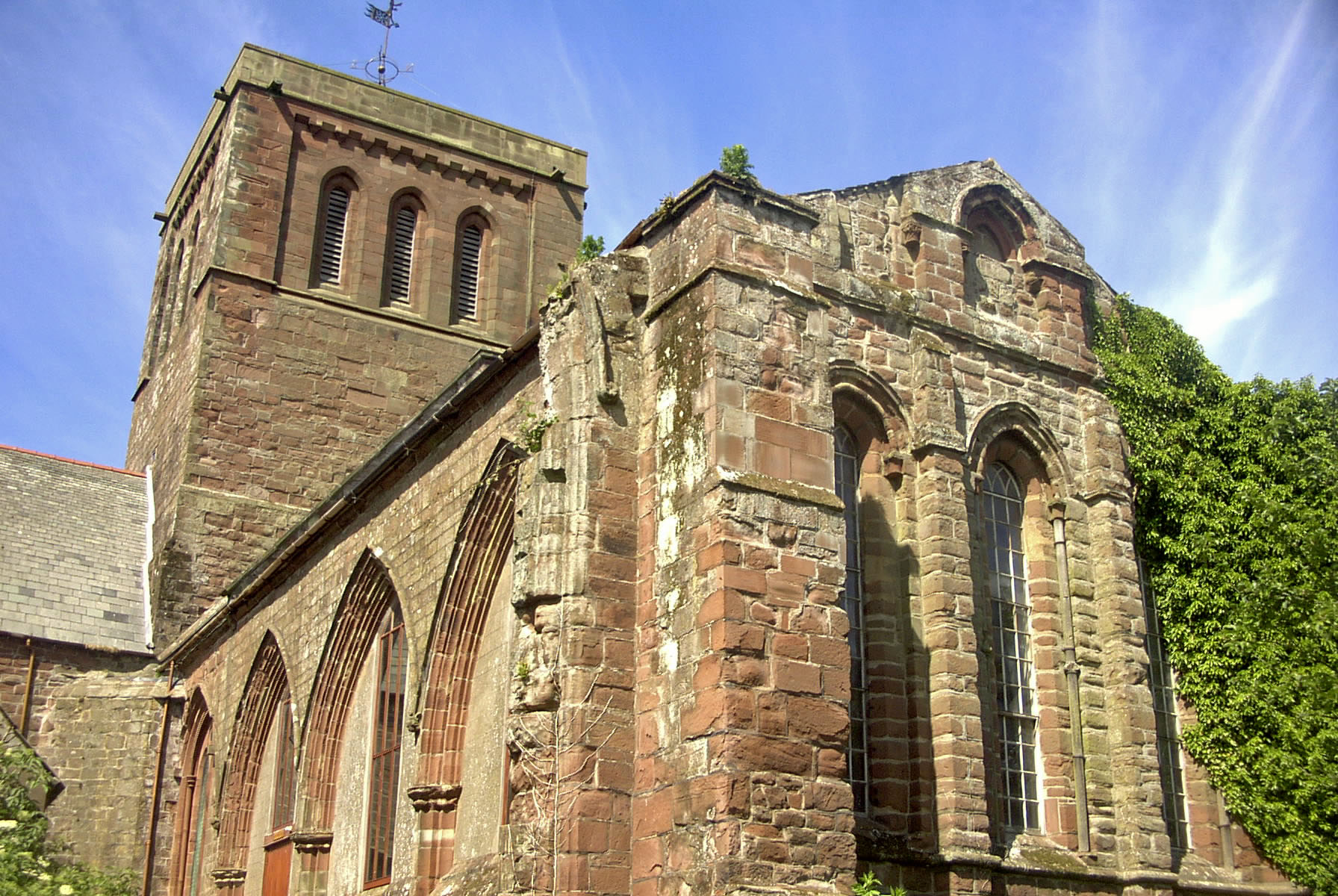
St Bees Theological College
St Bees Theological College, close to the coast of Cumberland, was the first independent theological college to be established for the training of Church...
Nearby Amenities
Located within 500m of 54.51099,-3.6283995Have you been to Hannah Moor?
Leave your review of Hannah Moor below (or comments, questions and feedback).