Briggins Moor

Downs, Moorland in Somerset Somerset West and Taunton

England

Briggins Moor

Brushford: Knowle Farm
Brushford: Knowle Farm Credit: Martin Bodman

Briggins Moor is a diverse and captivating area located in Somerset, England. Spanning over acres of enchanting landscape, it encompasses both downs and moorland, offering visitors a unique blend of natural beauty and historical significance.

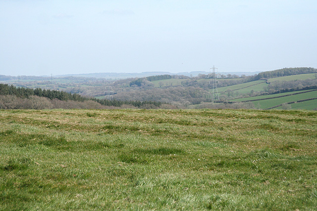
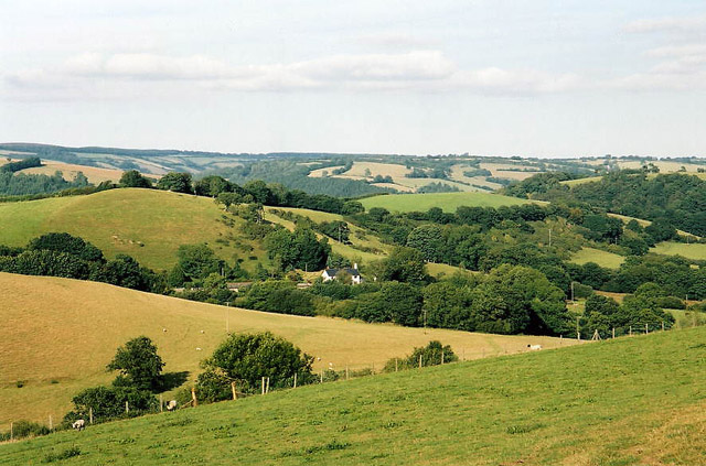
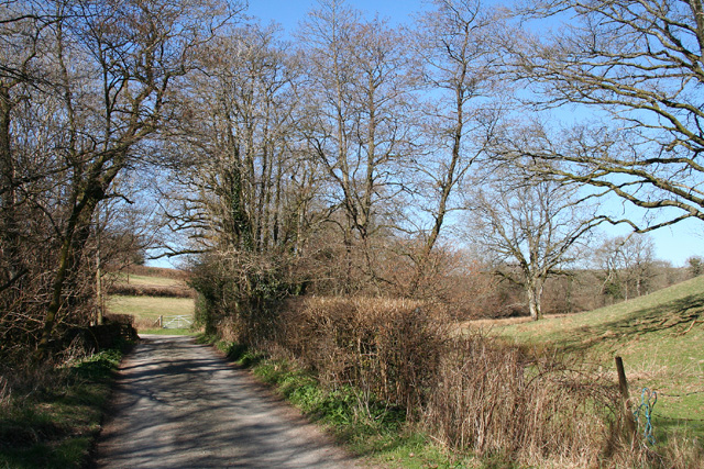
The downs of Briggins Moor are characterized by rolling hills covered in lush grasses and scattered with vibrant wildflowers. These open spaces provide breathtaking panoramic views of the surrounding countryside, making it an ideal destination for hiking and picnicking. The moorland, on the other hand, is a stark contrast with its rugged terrain and sprawling heather-covered expanses. This area is home to a variety of wildlife, including rare species of birds and reptiles, making it a haven for nature enthusiasts and birdwatchers.

History buffs will be intrigued by the ancient monuments and archaeological sites scattered throughout Briggins Moor. These relics offer a glimpse into the area's rich past, with evidence of human activity dating back thousands of years. Ruins of long-abandoned settlements, stone circles, and burial mounds can be found, providing a fascinating insight into the lives of the people who once called this land home.

Briggins Moor is easily accessible, with well-maintained footpaths and trails that allow visitors to explore its natural wonders at their own pace. The area is also home to a visitor center, offering information about the local flora, fauna, and historical significance. Whether you are seeking tranquility in nature, a glimpse into the past, or simply a place to unwind and connect with the outdoors, Briggins Moor is sure to leave a lasting impression.

If you have any feedback on the listing, please let us know in the comments section below.

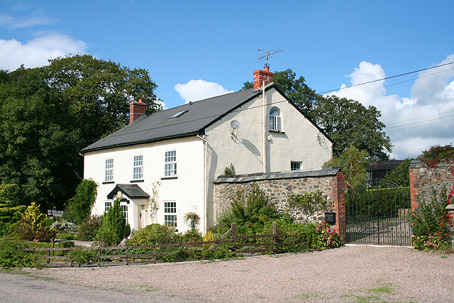
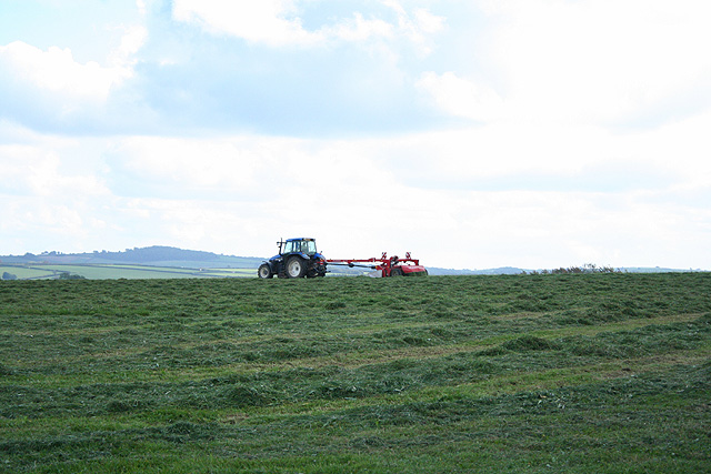
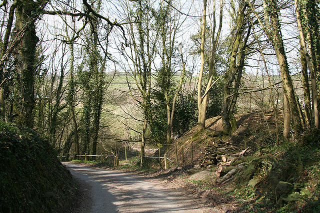
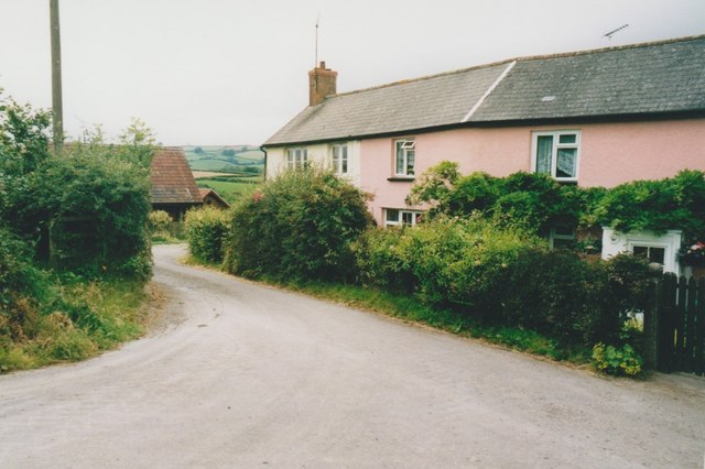
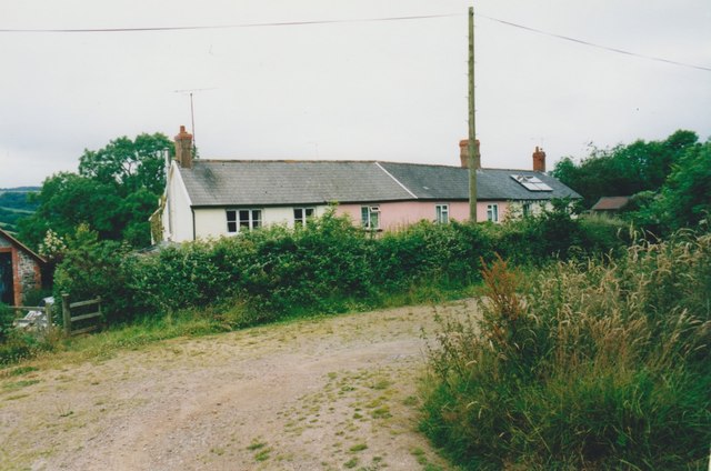
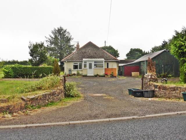
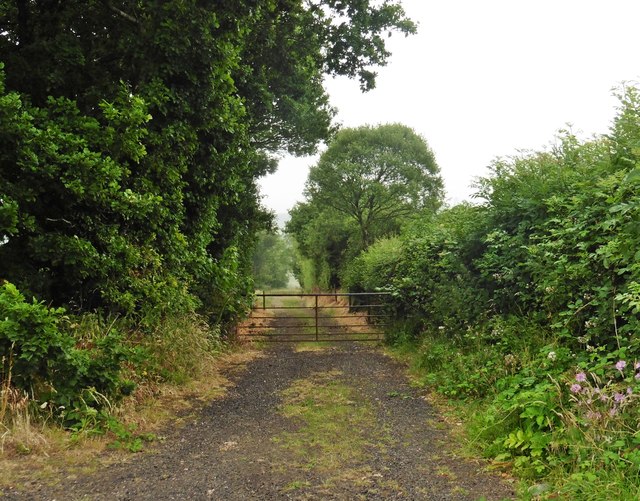
Briggins Moor Images

Images are sourced within 2km of 51.014266/-3.5808004 or Grid Reference SS8925. Thanks to Geograph Open Source API. All images are credited.

Brushford: Knowle Farm
Looking North From West Knowle
Brushford: Venn Looking north from the lane between West Knowle and Hawkwell Cross
Brushford: Venn
Looking north from the lane between West Knowle and Hawkwell Cross
Brushford: Bere A farm in remote country between East Anstey and Dulverton, seen from its entrance gate. The track leading to the farm and on to Broomball Cross is also a public bridleway. Looking north west
Brushford: Bere
A farm in remote country between East Anstey and Dulverton, seen from its entrance gate. The track leading to the farm and on to Broomball Cross is also a public bridleway. Looking north west
Brushford: between Nightcott and Upcott Looking south from the Brushford – Nightcott lane
Brushford: between Nightcott and Upcott
Looking south from the Brushford – Nightcott lane
Brushford: overhead power line A transmission line on Hawtree Moors. Looking south east
Brushford: overhead power line
A transmission line on Hawtree Moors. Looking south east
Oakford: Red Deer House Previously Red Deer Farm, it stands by the old Bampton – South Molton turnpike, now the B3227, and offers bed and breakfast. Looking north-north-west
Oakford: Red Deer House
Previously Red Deer Farm, it stands by the old Bampton – South Molton turnpike, now the B3227, and offers bed and breakfast. Looking north-north-west
Oakford: mowing at Western Farm Seen by the entrance to the farm, on the B3227. A sign announces that this is the home of pedigree Holstein Friesians, the ‘Revelsmill Herd’. Looking south-south-east
Oakford: mowing at Western Farm
Seen by the entrance to the farm, on the B3227. A sign announces that this is the home of pedigree Holstein Friesians, the ‘Revelsmill Herd’. Looking south-south-east
Brushford: by Trackford Moor On the access road to Lower Sowerhill. Looking south west
Brushford: by Trackford Moor
On the access road to Lower Sowerhill. Looking south west
Dulverton: lane near Anstey Farm Looking north-north-west
Dulverton: lane near Anstey Farm
Looking north-north-west
Brushford: by Higher Allshire Farm Looking towards South Moor and the valley of the Den Brook. The pasture in the foreground has recently been rolled
Brushford: by Higher Allshire Farm
Looking towards South Moor and the valley of the Den Brook. The pasture in the foreground has recently been rolled
Brushford: Higher Upcott and Upcott Farm Seen from the Oldways End-Exebridge Road. Higher Upcott is the building to the left
Brushford: Higher Upcott and Upcott Farm
Seen from the Oldways End-Exebridge Road. Higher Upcott is the building to the left
Brushford:  Croft and Croft Knap Seen from the Oldways End-Exebridge Road
Brushford: Croft and Croft Knap
Seen from the Oldways End-Exebridge Road
Brushford: lane to Nightcott Looking west near a bridge over the Brockley River
Brushford: lane to Nightcott
Looking west near a bridge over the Brockley River
West Knowle Cottages in West Knowle.
West Knowle
Cottages in West Knowle.
West Knowle Cottages in West Knowle.
West Knowle
Cottages in West Knowle.
Hillsbrow
Hillsbrow
Farm track, north of the B3227
Show me another place!

Briggins Moor is located at Grid Ref: SS8925 (Lat: 51.014266, Lng: -3.5808004)

Administrative County: Somerset

District: Somerset West and Taunton

Police Authority: Avon and Somerset

What 3 Words

///node.toned.carry. Near Dulverton, Somerset

Related Wikis

Briggins Moor

Briggins Moor is a 15.3 hectare biological Site of Special Scientific Interest in Somerset, notified in 1994. The site is south of Dulverton and close...

East Anstey

East Anstey is a village and civil parish in the North Devon district of Devon, England. The parish is located in an area which has been designated as...

Oldways End

Oldways End is a hamlet in the civil parish of East Anstey in the North Devon district of Devon, England. Its nearest town is Tiverton, which lies approximately...

Combe, Dulverton

Combe is a historic estate in Somerset, England, situated between the town of Dulverton and the village of Brushford. == Descent == === Taunton Priory... ===

Nearby Amenities

Located within 500m of 51.014266,-3.5808004
Power: pole
Lat/Long: 51.0177843/-3.5846403
Power: pole
Lat/Long: 51.0174534/-3.5831416
Power: pole
Lat/Long: 51.017167/-3.5818089
Power: pole
Lat/Long: 51.0167254/-3.5798274
Power: pole
Lat/Long: 51.0162858/-3.5779569
Power: pole
Lat/Long: 51.0159061/-3.5762832
Power: pole
Lat/Long: 51.015513/-3.5744002
The data included in this document is from www.openstreetmap.org. The data is made available under ODbL.

Have you been to Briggins Moor?

Leave your review of Briggins Moor below (or comments, questions and feedback).